
May 24th Southwest Kansas Tornado Warned Supercell
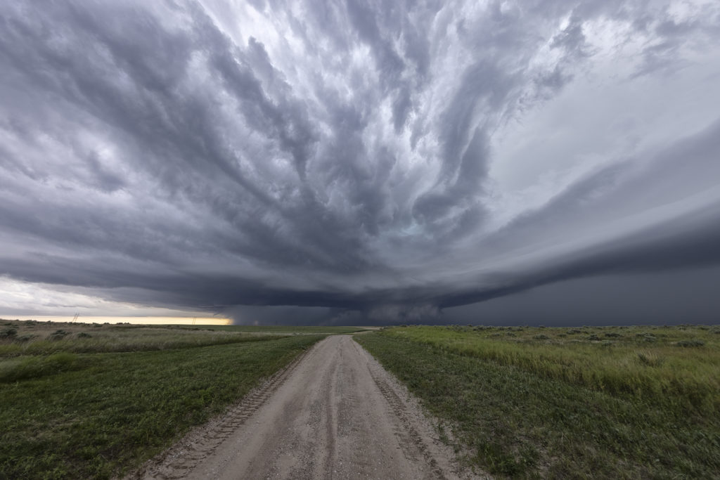
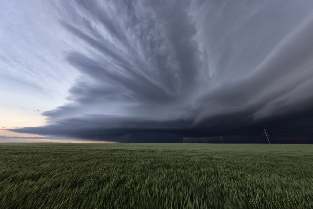
May 24th had substantial potential in western Kansas. A very moist and unstable airmass would develop over the region with multiple boundaries around for storms to form and spin on. We chose to play the usual triple point north of Leoti, where the first severe storm of the day formed. The triple point is the location where 3 air masses meet and it typically spawns one of the best storms of the day! It would struggle to sustain itself due to some small capping issues, but it eventually became tornado warned. However off to the north, a supercell formed and drifted north and produced tornadoes near Selden, Kansas. Since it’s a chasing rule never to leave your storm if it has a tornado warning to chase a different one (because, you KNOW what the one you left would do!), we stayed with it. More storms developed west of Garden City and would also become tornado warned. Our storm weakened, as did the Selden, Kansas storm, so south we went to play the tail end storm. What a beauty! Big, wet classic supercell with beautiful structure that would go on through the evening hours! At times the rotation became pretty tight, but it just couldn’t get a substantial tornado to the ground. We stayed with it till dark and then went back to Garden City for the night. Another day, where a secondary target produced tornadoes and the primary target would not. Such is the life of storm chasing! Please enjoy the pics!
No comments yet.