
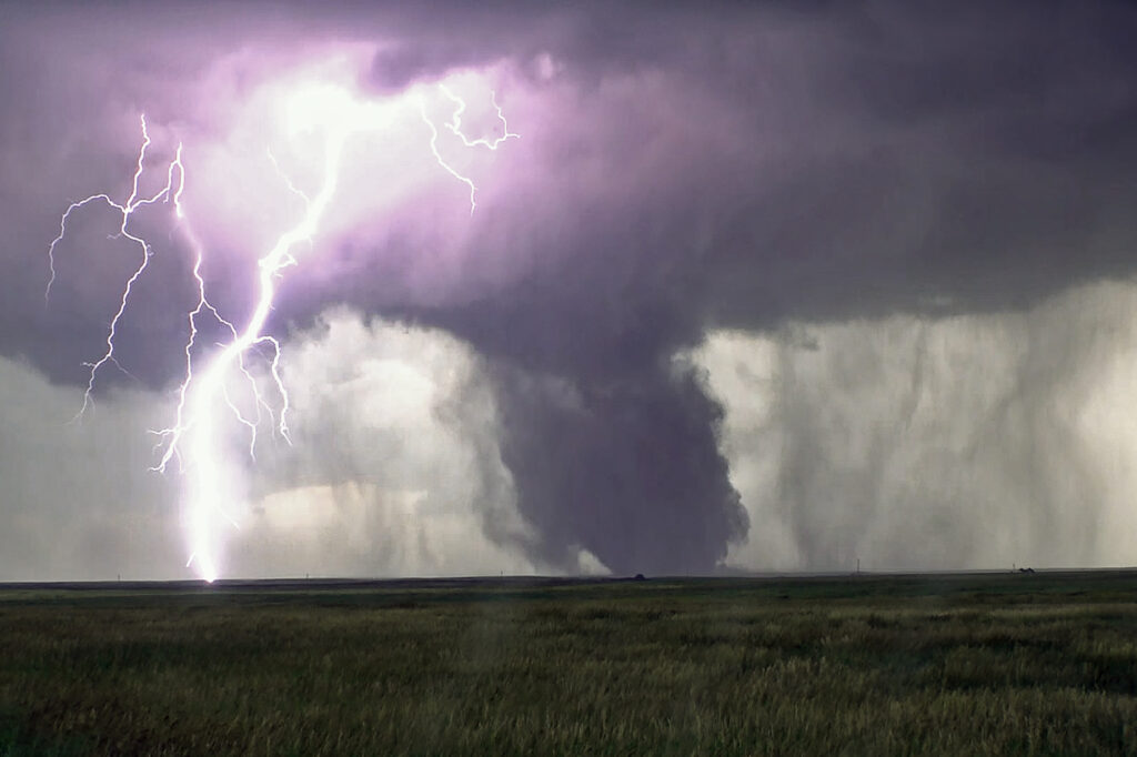
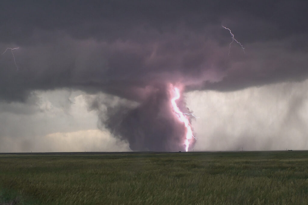
June 28th Kimball, Nebraska Large Tornado
June 28th had a lot going for it. Good moisture, strong instability, superb wind shear and the upslope play of the Laramie Range in southeast Wyoming. A supercell formed mid afternoon and became an electrified beast! As the storm spun east/southeast, it produced huge hail baseball sized, but never really was a tornado threat. As it moved into far southwest Nebraska, it encountered better moisture which allowed the cloud base to come down. That helped the storm tap into greater low level wind shear and develop rotation. A couple of funnels occurred before a rather large, dusty tornado formed about 8 miles south of Kimball. The tornado was on the ground for over 10 minutes as it moved slowly southeast. The storm continued to spin strongly off the Cheyenne Ridge into far northern Colorado. It weakened for a time and then reintensified east of Sterling. It continued its slow march to the east, now producing huge hail and flash flooding. We let it go at that point and went to the hotel after shooting lightning for awhile. Crazy fun day and thankfully the large tornado stayed over open lands. Enjoy the pics!!!
No comments yet.