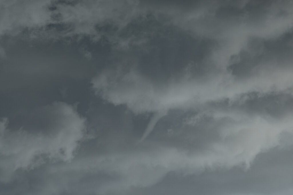
June 12th Central Minnesota Tornado Warned Supercell
June 12th featured awesome shear, but a dearth of low level moisture. Dewpoints in the 50s to low 60s wouldn’t be enough to get intense tornadic storms to form. Most storms were higher based and quickly became outflow dominant. We positioned ourselves near Wadena, MN and chased a storm that formed southwest of there straight down I-94 towards the Twin Cities. The storm spun hard, but had a tendency to be linear and quite gusty. Another cell formed along a boundary just to the east and acquired supercell characteristics. It developed a lowering that someone report a tornado from. From our vantage point, I had a hard time believing that report. Another over zealous chaser in action! We stayed with our storm and near St Cloud, it became tornado warned. At one point it had a lowering that looked like a broad funnel forming, however, that’s as far as it went. Soon the gust front hit us and we called it a day. A bit of a frustrating day in which there was some decent potential for nice supercells and even a couple of tornadoes, but to no avail.


No comments yet.