
April 23rd Mustang, OK Tornadic Supercell
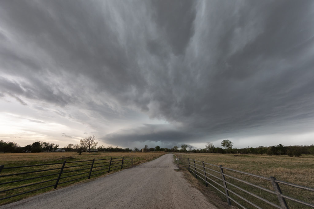
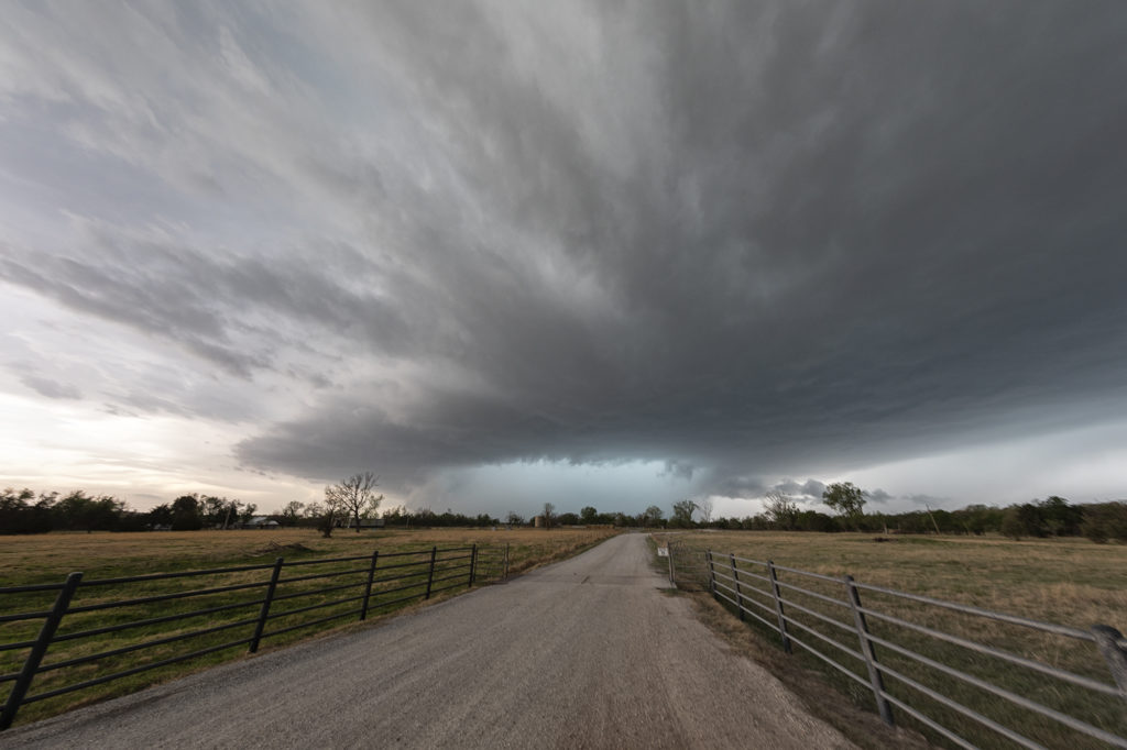
April 23rd was a day that had decent potential with a lingering boundary in central Oklahoma, decent moisture and moderate deep layer shear. Storms formed along the boundary by mid afternoon and struggled to intensify initially. Finally a couple supercells emerged from the cluster of storms and tracked east. One supercell near Mustang, OK became tornado warned due to strong rotation. We could see the wet rear flank downdraft wrap around the base where a tail cloud was feeding into it. You could see the strong rotation easily as it approached our location. An EF0 and EF1 tornado occurred but was completely rain wrapped and not visible. As the storm moved east across the Oklahoma City metro, it maintained its intensity. If there had been a little better moisture and shear, those weak tornadoes would have been much stronger. They dodged a bullet fortunately! We stayed with the storm through sunset when things weakened due to the cap increased and weakened the storms. A good day and fortunately no significant damage in town! Enjoy the pics!!!
No comments yet.