
April 14th Northeast Iowa Tornadoes
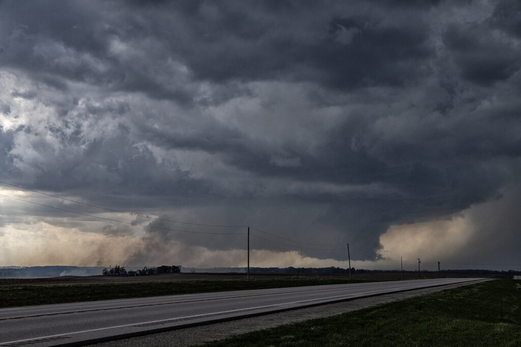
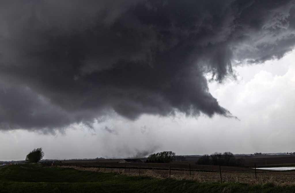
April 14th kept us in the northern plains. The same synoptic warm front/triple point from the 13th, was evident on the 14th centered northwest of Des Moines, Iowa. By mid afternoon storms formed there and intensified as they moved northeast. Near Eldora, Iowa, one supercell cranked up quickly and spun like a top. A rotating wall cloud formed, spinning wildly, and dropped a tornado that skipped across the ground for about 10 minutes causing some damage to farm buildings. After the storm occluded, the cell moved east towards Waterloo and kept having cell mergers which interfered with it’s ability to produce more tornadoes. East of Waterloo, near Masonville, it cranked back up and became tornado warned. A lowering/truncated cone funnel formed and wrapped quickly with rain. It touched down producing some minor damage as it stayed on the ground for several minutes. After it lifted, the storm became rain clogged as more cells developed merging with the parent supercell. At this point, having to be back in Denver the next day, we dropped south to Iowa City and headed west to Lincoln, NE for the night (arriving after midnight!). As did dropped south, another supercell developed a hook and became tornado warned as well. We could see the lowering, which 30 minutes later produced a pretty 3 minute tornado, as we headed westbound for the night. Overall a fun day, great storms, messy tornadoes, but everyone enjoyed it! Enjoy the pics! Video coming soon too!
No comments yet.