
May 6th Belpre, Kansas Tornado and Supercell
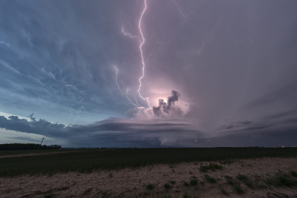
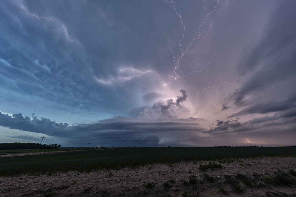
A day of anticipation was what May 6th brought. Models showed an approaching wave to move into Kansas late, but would it be enough to spark thunderstorms before dark. Finally about 6pm storms initiated along a boundary in central Kansas. High shear, good moisture and instability would allow storms to quickly become severe. Initial daylight supercells spun nicely and became tornado warned. Due to many cell mergers nothing would produce a tornado……until after dark. A supercell west of Belpre, Kansas would become quite well structured at dusk and soon became tornado warned. We drifted north to look down the notch of this violent storm. Lightning constantly cut across the sky and the large mothership supercell spin crazily! As a strong hook formed, precip started wrapping around the storm’s updraft, constricting flow into it. A wall cloud soon appeared and a cone funnel formed. It touched down for at least a couple minutes that we could confirm before the rain and hail in the hook area of the storm wrapped around it. A great evening and day of chasing and to be treated by a nice night time tornado was icing on the cake! Enjoy the photos and video grabs!
No comments yet.