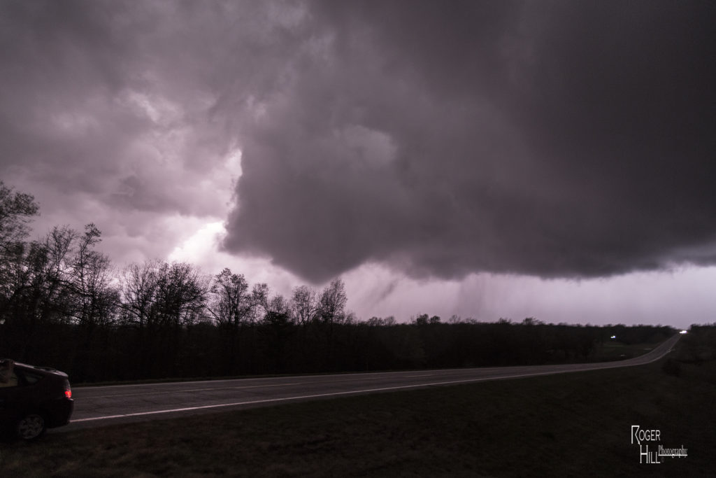
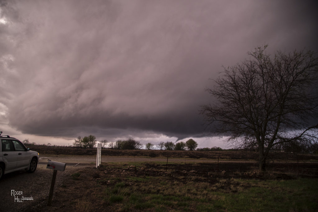
We made a long hard dash from North Dakota to Illinois on June 22nd for what appeared to be a setup that had high tornado potential. Extreme instability, upper 70s dewpoints, strong wind shear and a warm frontal boundary would set the stage for a pretty decent tornado event. By late afternoon we arrived near Moline as storms finally got going along the boundary. Several supercells evolved along the warm front and several became tornadic. We intercepted two supercells that produced tornadoes, albeit weak tornadoes. Surprisingly there was only one tornado rated EF2 this day, which occurred well after dark. We chased along and north of I-80 from east of Moline to north of Peru, Illinois. Too many cell interactions made for a sloppy event, although the first tornadic supercell we intercepted near Hooppole had very pretty structure. I was sure this storm would drop a significant tornado. It produced a weak tornado that skipped along the ground for a couple minutes. As it continued east, it produced another tornado, a short lived multiple vortex tornado northwest of Peru. Later another supercell we saw in the dark produced the EF2 southeast of us. We couldn’t stay up with it. A long day, but a rewarding day for the tour!
June 21st Northeast Montana Tornado Warned Supercell
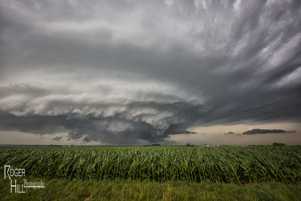
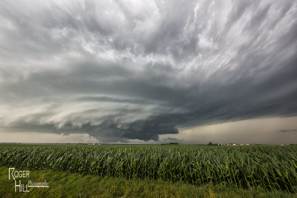
June 21st was the first day we had decent shear, instability and some moisture to work with. A dryline and old outflow boundary set up in northeast Montana and would be the focus for supercells late afternoon. We drove to Bainville, Montana and waited at this cute little gas station/restaurant for storms to form and intensify. We were torn between cells near Glascow or further southeast near the Belfield, North Dakota area. We ended up choosing the northeast Montana storms. After a few cycles, a supercell emerged near Wolf Point as we drifted west towards Brockton to intercept it. Although it was a bit higher based, the structure was nice. As the supercell moved east, it became tornado warned near Culbertson. Near Fairview, a report of a tornado occurred, but we couldn’t see anything under the base. Not sure what the locals were looking at as with lcls at 800MB, it was pretty obvious the tornado threat was fairly limited. It stayed tornado warned all the way to Watford City, North Dakota where it was feeding on outflow air from storms to the east, and weakened quickly. Fun chase day, good storm, lots of lightning, hail and wind. Northeast Montana is a very pretty area to chase in!
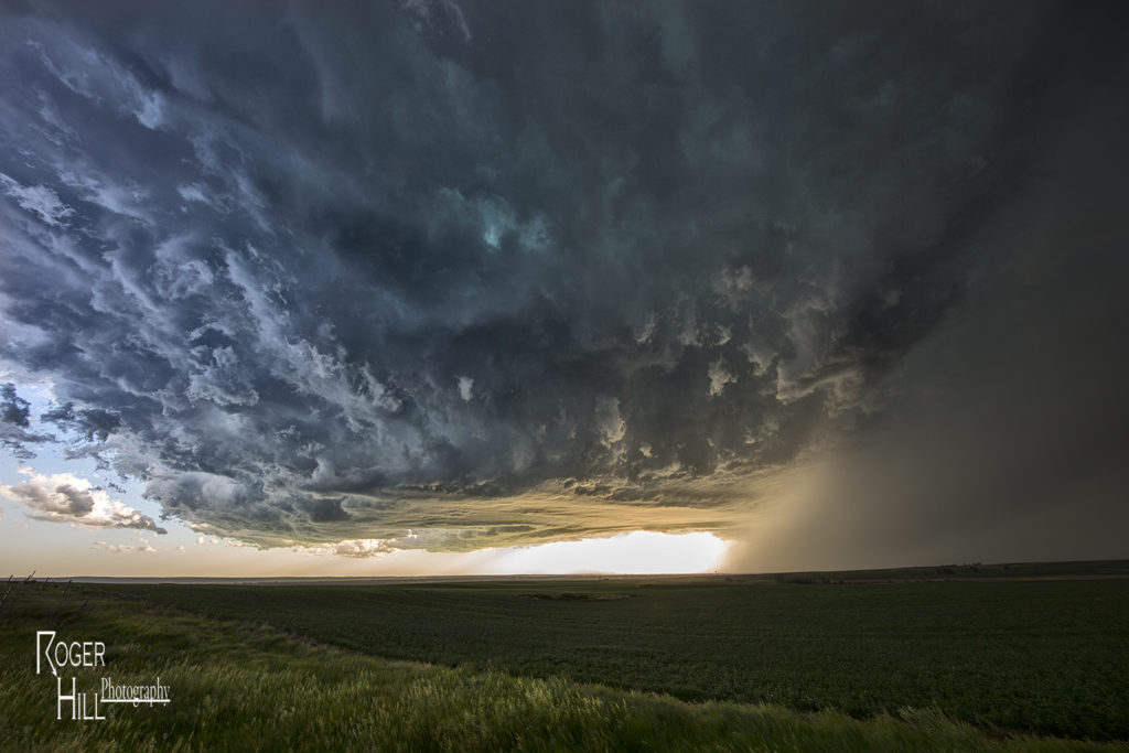
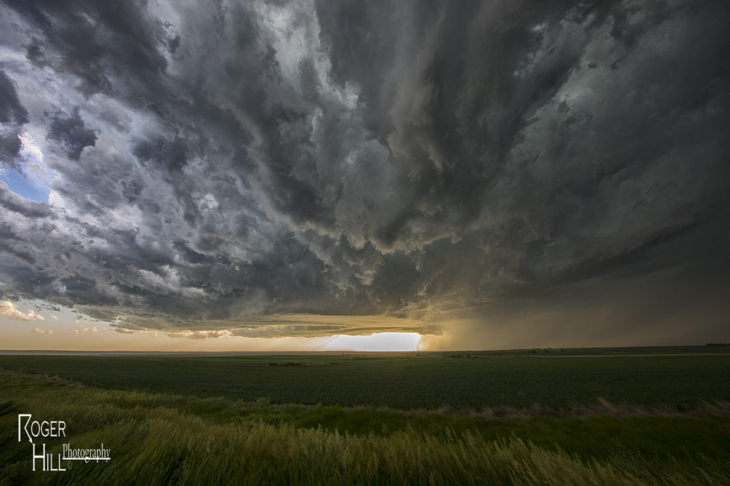
May 24th Southwest Kansas Tornadic Supercell
May 24th had the best of both worlds. As Photo Tour #1 went to Colorado for its rewards, Tour #4 had a special day along an outflow boundary south of Dodge City. As Tour #4 moved north out of Oklahoma, hard cumulus towers formed along the boundary near Minneola. Soon, a storm emerged from these towers and would become an intense tornadic supercell as it drifted north towards Dodge city and spun like crazy. It took it awhile to really get going good, but when it did, a huge wall cloud formed, and started spinning wildly. The first of a dozen tornadoes would form of every shape, size and intensity, and at some point as many as 3 tornadoes were on the ground at the same time. Dodge city eventually came under a tornado emergency as a large multivortex tornado hit the west side of town. As the supercell moved north of town, many other storms formed and eventually turned into a huge cluster of severe storms that moved across Kansas. As that happened, we left the storm and went to Garden City for the night. An amazing day, with a dozen tornadoes from this storm and the fact both of our tours capitalized on the days potential was even more special!
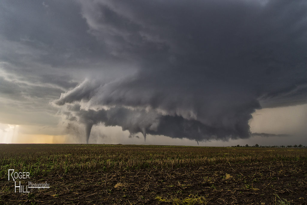
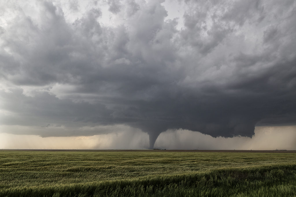
May 24th Eastern Colorado Tornadic Supercell
May 24th was a day that had huge potential. Unfortunately there were two pretty clear targets. Play the upslope in eastern Colorado for what would certainly be a pretty tornadic supercell, or play southwest Kansas with high instability along an outflow boundary. Fortunately we had two tours going at that time, Tour #4 and also Photo Tour #1. After considerable discussion Photo Tour #1 headed for Colorado while Tour #4 headed for southwest Kansas. Both tours scored big this day! Upon arrival in Colorado Photo Tour #1 intercepted an intensifying supercell east of Denver. This storm would become a formidable supercell that would cycle multiple times and produce a half dozen tornadoes. As this storm approached an area south of Ft Morgan it began it’s tornadic phase as it intercepted better moisture and instability and the storm’s base came down. the Photo Tour, true to its name, found numerous beautiful places to photograph this supercell and it’s tornadoes all the way out towards the Kansas border. It kept producing tornadoes off and on the rest of the day and into the evening. Nothing wilder than night time tornadoes. Finally as it moved into northwestern Kansas, the Photo Tour dropped off it and headed to their night destination.
May 22nd Ochiltree County, Texas Tornadoes
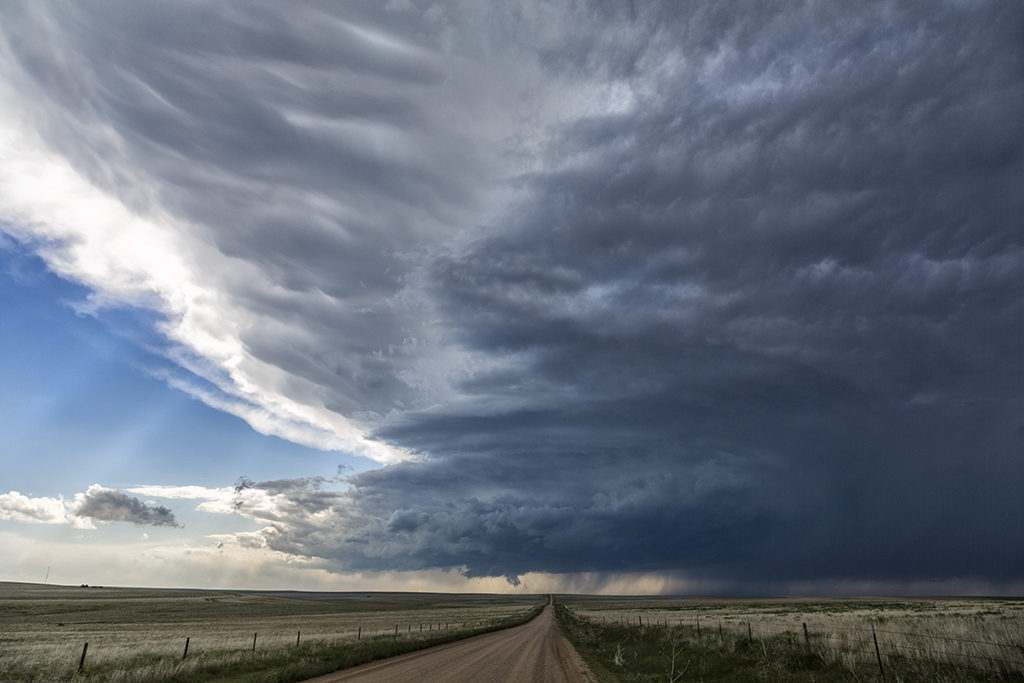
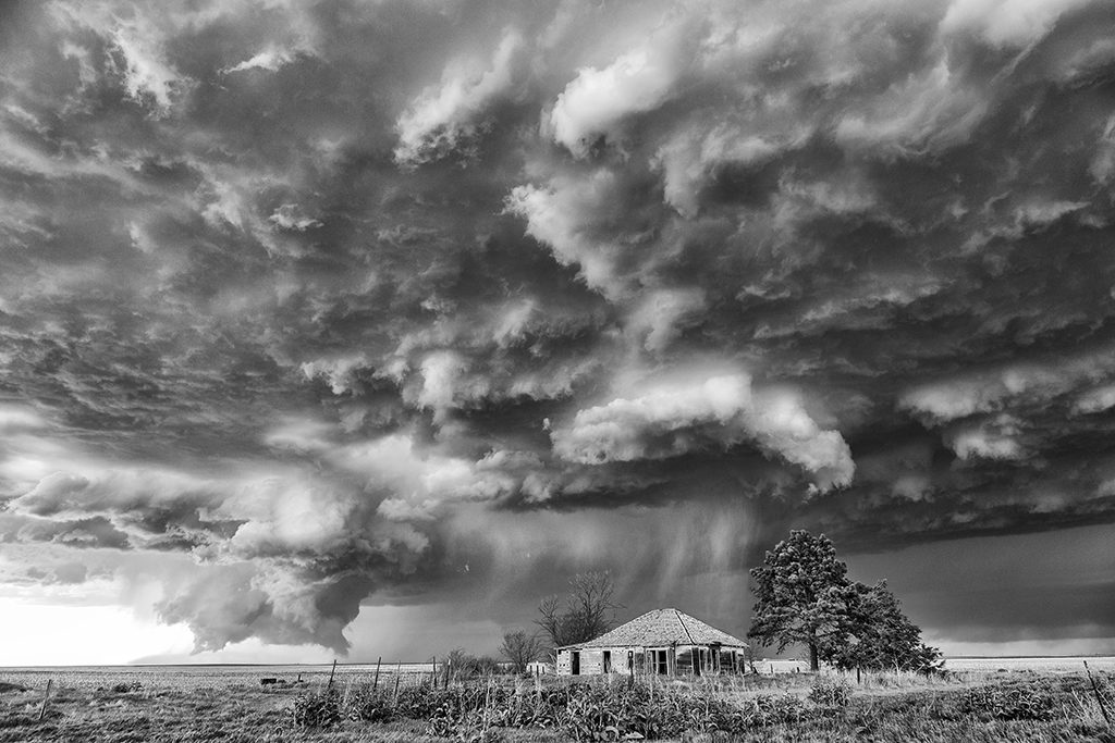
Storms abound on May 22nd. The Texas panhandle and northwest Texas were the target areas. We played the dryline first, west of I-27, but a confluence boundary east of the I-27/287 corridor would end up being the favored area. A few tornadoes occurred southeast of Amarillo as storms formed and spun, but they were quite messy. A second area of storms formed northeast of Amarillo in Ochiltree county. An outflow boundary on the south side of the developing storm would be the focus point for storm rotation. A weak tornado occurred before we got there. As we arrived, southeast of Spearman, an elephant trunk tornado formed and touched down briefly. It happened so fast and was so messy we couldn’t get any photos of it. Minutes later a large wedge formed and moved southeast towards our location. A huge blob of wet RFD hit us with 80 mph winds as we scurried east to get out of the way of the tornado. It wrapped in rain after a few minutes and was no longer visible. We stayed with the tornado warned supercell for hours after this as it cycled many times, but never became tornadic again. A fun day and a very large tornado!!!!!
May 21st Leoti, Kansas Incredible Supercell
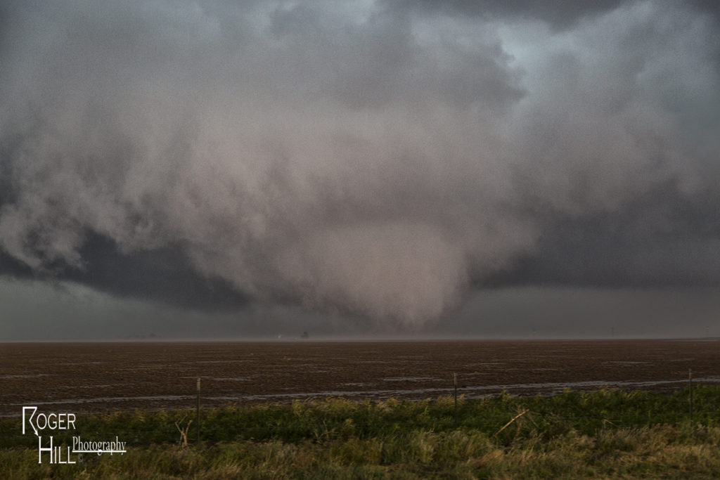
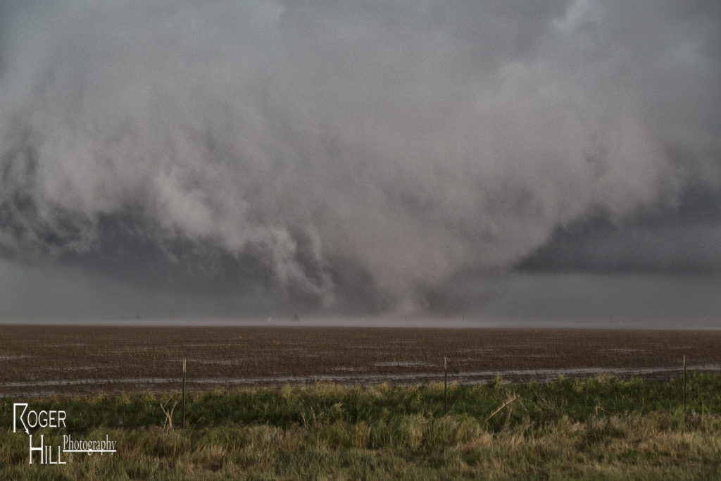
May 21st was the first day in a period that would be the best of 2016. This day featured a triple point over western Kansas, as well as good shear, strong instability and decent moisture. Storms appeared they would form on the HP side of thing and they sure did. The triple point and warm front lit up like crazy mid afternoon, and the tail end storm would become the storm of the day. Anchored at the triple point, this supercell would cycle many times and each time get prettier and prettier. It produced a couple weak, short lived tornadoes in its lifetime, but the story of the day was the storm’s structure. It was a sculpted twisting, turning supercell, easily the prettiest of the year. Each updraft that formed at the triple point would be ingested into the main storm’s updraft, proving a fresh poof of warm moist air for the cell to feed on. Helicity was quite strong in this beast and I was actually surprised it did not produce a significant tornado.
By mid evening, the storm was running out of available instability, and it started to weaken. Right at sunset it was quite pretty, with a liberty bell appearance and tons of lightning. Finally just after dark it died off, and the skies calmed for the night. This would be short lived as the next day proved to be quite volatile a bit further south in Texas.
May 9th Wynnewood and Sulphur, Oklahoma Violent Tornadoes
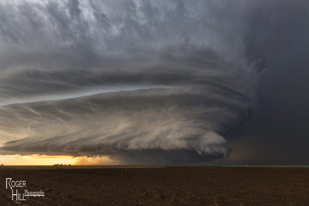
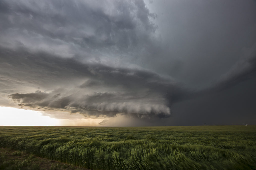
May 9th was one of the best days of 2016. Deep moisture, high CAPE values, great wind shear and strong lift along a dryline would generate several intense and tornadic supercells in central and southern Oklahoma. We positioned ourselves south of Pauls Valley as a persistent updraft was forming to our southwest. One supercell formed and anchored there and became tornado warned. However, it was the new updraft on its southern flank that would become the storm of the day. This updraft would become an intense tornadic supercell dropping an EF4, and 2 EF3 tornadoes along its path.
Our intercept of the very close and INTENSE EF4 Wynnewood tornado would be one our guests will never forget. A very predictable and fairly stable tornado would allow us to get very close to it, something we usually do on our Close Encounters tour. We were positioned a couple hundred yards north of the path of this tornado, and we flipped the vans around, ready to jump in and get out of the way should it make a sudden turn. It did not. It passed very close to us. You could hear the waterfall sound of the tornado as it ripped its way across the highway next to us. It would move east and dissipate near I-35. But this storm was far from done. A nearly mile wide tornado would develop and pass just north of Sulphur and an additional elephant trunk shaped tornado would form east. Both of these tornadoes were rated EF3. At the end of the day we would drop all the way south of the Red River into northern Texas as more supercells would develop and become tornado warned.
The photos of the vans in front of the tornado are courtesy of Hank Schyma !!! THANK YOU Hank!!!!
Our hearts go out to those who suffered losses this day.
May 7th Wray, Colorado Tornadoes
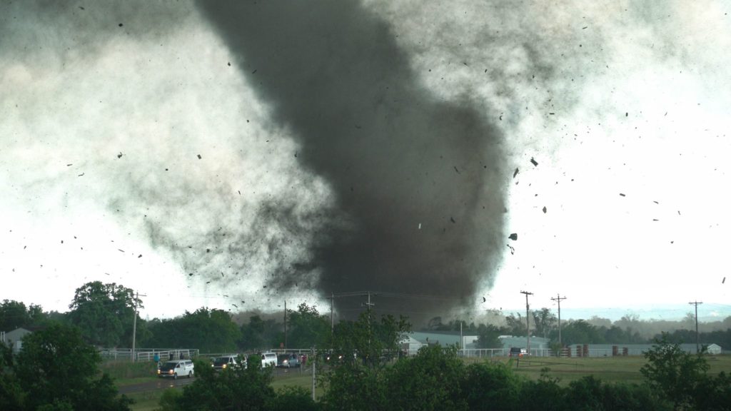
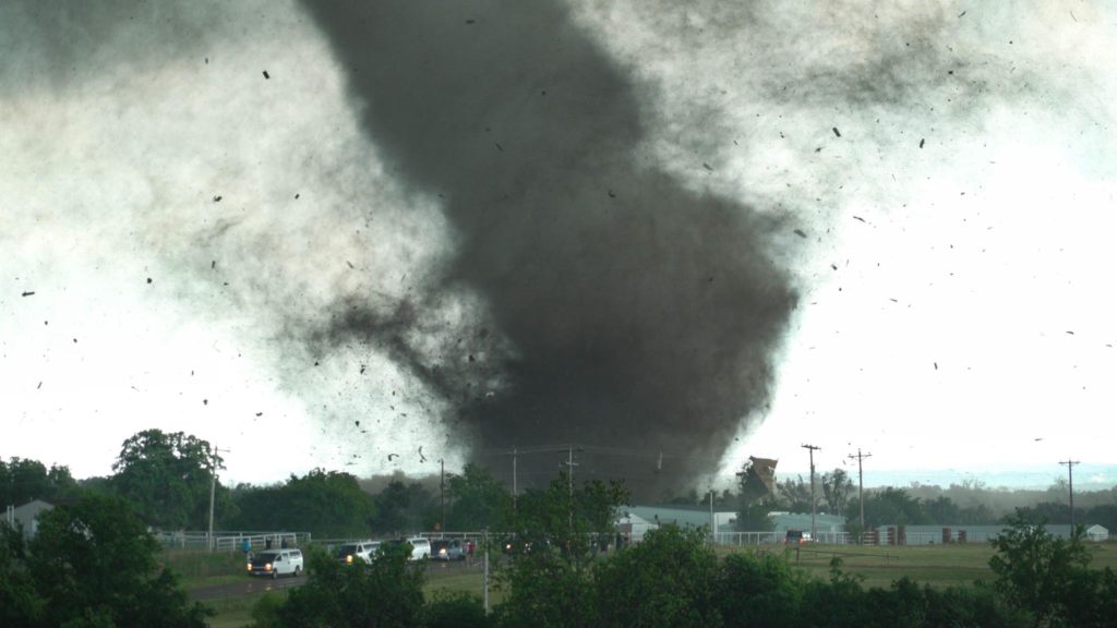
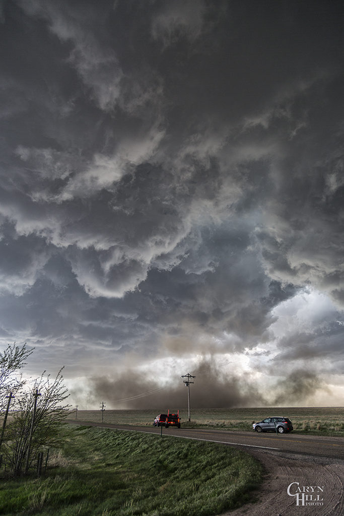
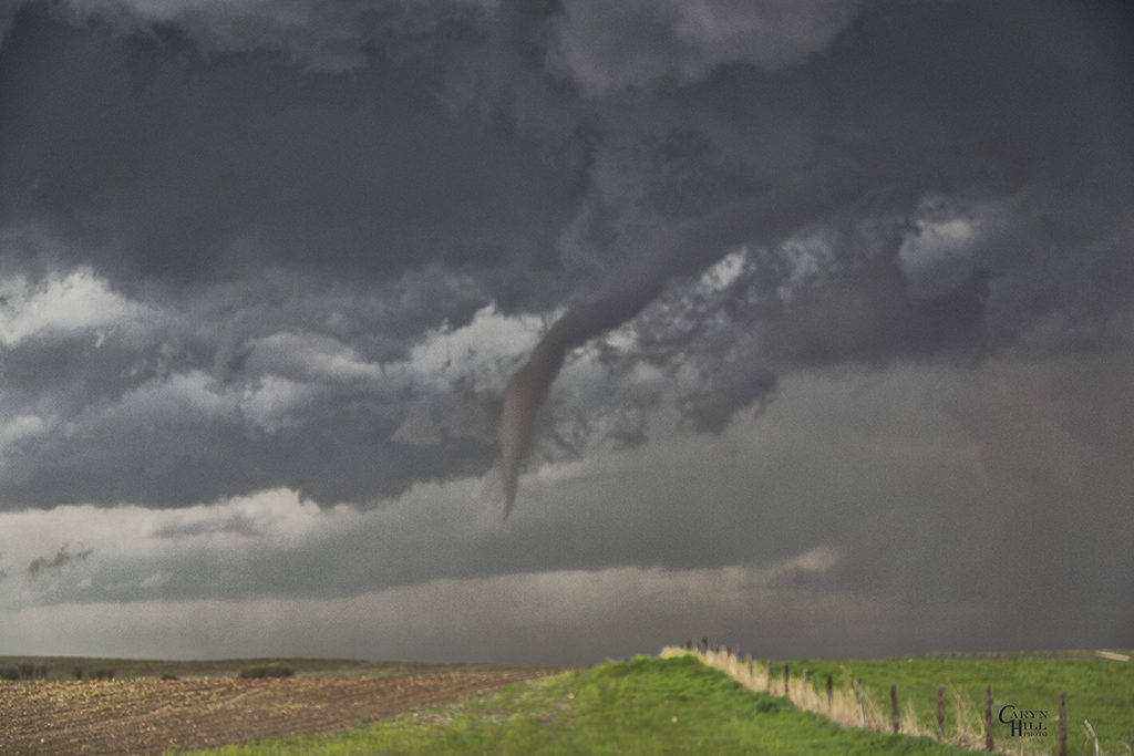
On May 7th we had high hopes for something big to happen. It certainly did not disappoint! Numerous storms formed early afternoon along and south of a warm front draped over eastern Colorado. Upslope flow was deep, while shear, instability and moisture were quite good as well. Too many storm interactions early in the afternoon caused messy modes, with several tail end supercell type storms to form and be the ones that produced the most severe weather. A cluster of cells near Ft Morgan early in the afternoon would produce tornadoes along the warm front, but we decided to target more southern tail end storms that were receiving the best feed of air.
Late afternoon, our on call tour led by Caryn Hill would intercept a supercell south of Wray that would produce a pretty elephant trunk shaped tornado. It would die off fairly quickly before the main show would start. A mixture of supercell and nonsupercell tornadoes would form, nearly a half dozen in all. The final tornado is one that has been well publicized, a beautiful whitish tornado as seen in the pics below, with a reddish debris cloud nearly to cloud base! Remember SLT will get you there!
April 15th Eva, Oklahoma Tornadoes
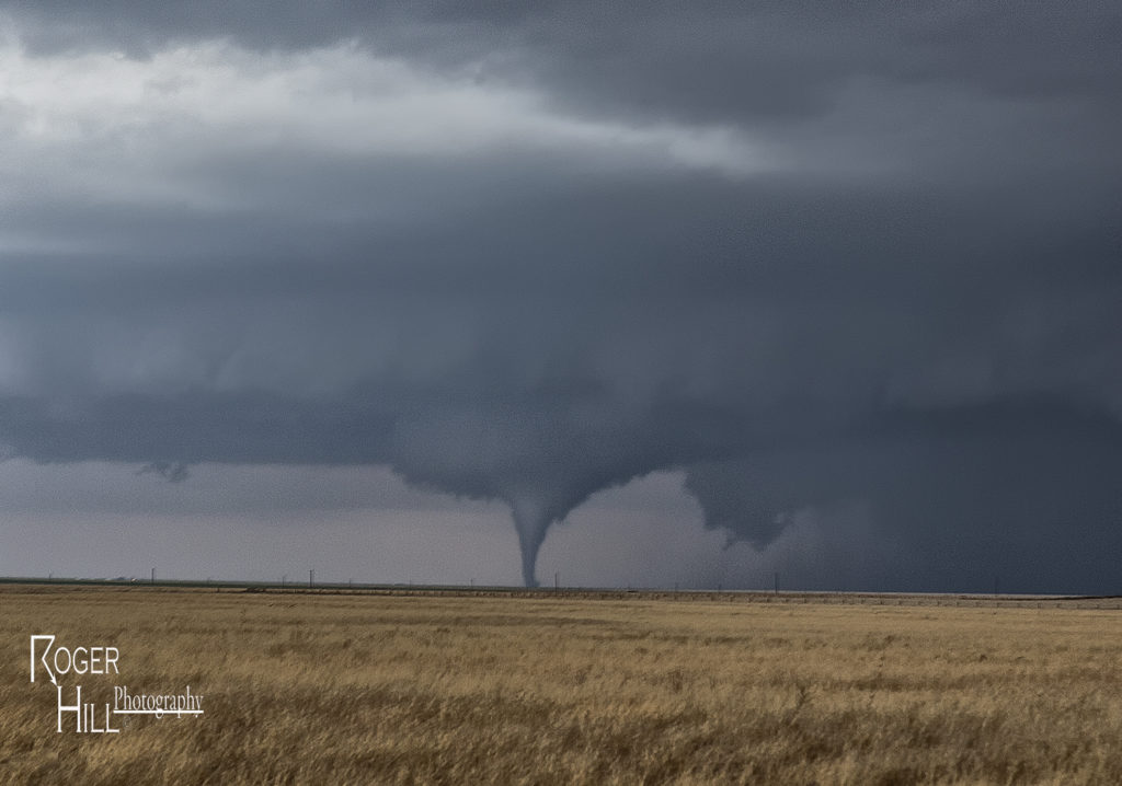
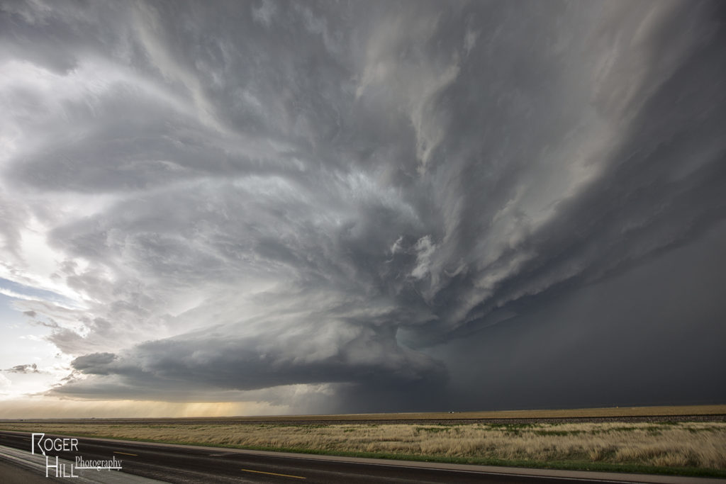
April 15th had potential. We weren’t sure how storm modes would end up, and the bigger question was how good of quality would low level moisture be this day. The various models were at odds with each other. We decided to target the northern Texas panhandle dryline and hope storms could form, mature and then move off the dryline into better air. We sat around the Dalhart, Texas area waiting for initiation to occur. By mid afternoon storms started to form, but due to many splits, storms never maintained for very long without having merging issues. A couple storms did intensify and one particular supercell even became tornado warned southwest of Stratford. It actually tried hard as a wall cloud formed and was steadily rotating. However, its rear flank downdraft became too strong and undercut the storm’s updraft causing it to weaken. It cycled up and down a couple times, and then near Stratford, something happened. The storm was ingesting very unstable air as inflow dramatically increased. You could see a huge dirt plume skyrocketing upward as rapid lift was occurring in the storm’s forward portion of the updraft.
A tornado warning was reissued as the storm crossed into the Oklahoma panhandle. Soon a cone shaped funnel formed and was visible for about 5 minutes before it dissipated. The structure of the supercell was top notch as a sculpted liberty bell formed and spun wildly. We raced up the highway towards Eva and sat on US 64 east of town about 5 miles. An elephant trunk shaped tornado soon formed and stabbed the ground a few times and dissipated. Quickly another larger truncated cone shaped tornado formed and stirred up dirt and debris for a minute or two and also dissipated. As the supercell crossed 64 heading towards Eva the supercell had a very strong RFD surge as a new wall cloud quickly lowered to our northwest. Soon a pretty white elephant trunk shaped tornado formed, followed by a second one just to the east of the first. These two danced around for 10 minutes, often creating multiple vortices under them and then dissipated soon afterwards. By this time darkness was approaching and the storm was weakening, so we broke off our chase and headed for home. Great day and fortunately all tornadoes occurred in open country!
March 30th Northeast Oklahoma Tornadoes
March 30th took us to northeastern Oklahoma and southeastern Kansas on our first chase of the season for a day that promised intense storms and strong tornado potential. Things got messy pretty quickly in southeastern Kansas so we dropped south into northern Oklahoma. First, just south of Caney, Kansas an intense supercell formed. This storm had an amazing wall cloud that was rotating rapidly. It became tornado warned, but due to too many cell mergers, it never produced. We dropped south towards Nowata, Oklahoma as a tornado warned supercell approached. This storm had incredible structures and soon dropped a truncated cone shaped tornado (rated EF1) northeast of town that skipped across the countryside for 5-10 minutes before dissipating. The supercell continued northeast from there and dropped a second tornado (rated EF0) in open land. This tornado actually looked stronger as darkness set up, but we were never able to get close enough to it. Fun chase day, great results, and a long trip back to Denver.