May 24th Eastern Colorado Tornadic Supercell
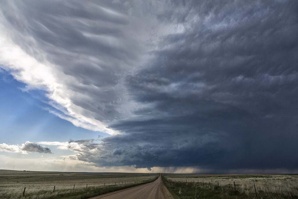
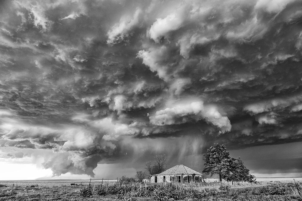
May 24th was a day that had huge potential. Unfortunately there were two pretty clear targets. Play the upslope in eastern Colorado for what would certainly be a pretty tornadic supercell, or play southwest Kansas with high instability along an outflow boundary. Fortunately we had two tours going at that time, Tour #4 and also Photo Tour #1. After considerable discussion Photo Tour #1 headed for Colorado while Tour #4 headed for southwest Kansas. Both tours scored big this day! Upon arrival in Colorado Photo Tour #1 intercepted an intensifying supercell east of Denver. This storm would become a formidable supercell that would cycle multiple times and produce a half dozen tornadoes. As this storm approached an area south of Ft Morgan it began it’s tornadic phase as it intercepted better moisture and instability and the storm’s base came down. the Photo Tour, true to its name, found numerous beautiful places to photograph this supercell and it’s tornadoes all the way out towards the Kansas border. It kept producing tornadoes off and on the rest of the day and into the evening. Nothing wilder than night time tornadoes. Finally as it moved into northwestern Kansas, the Photo Tour dropped off it and headed to their night destination.


No comments yet.