Tag Archives | twister

May 27th Northeast Colorado/Southwest Nebraska Tornadic Supercells

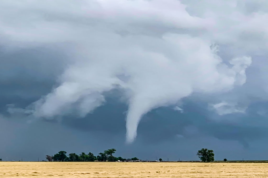
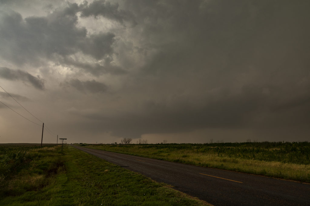
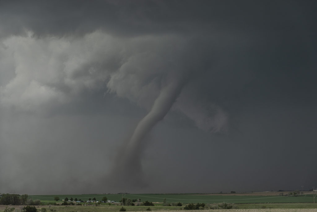
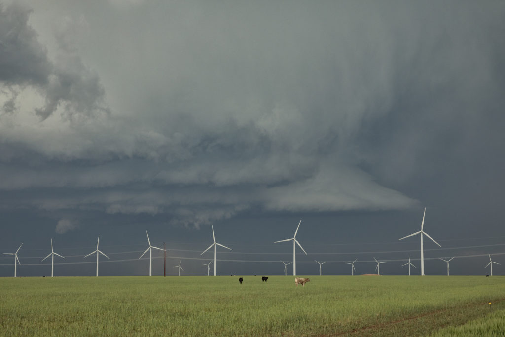
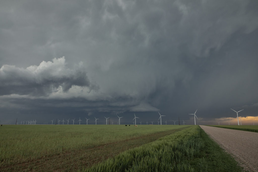
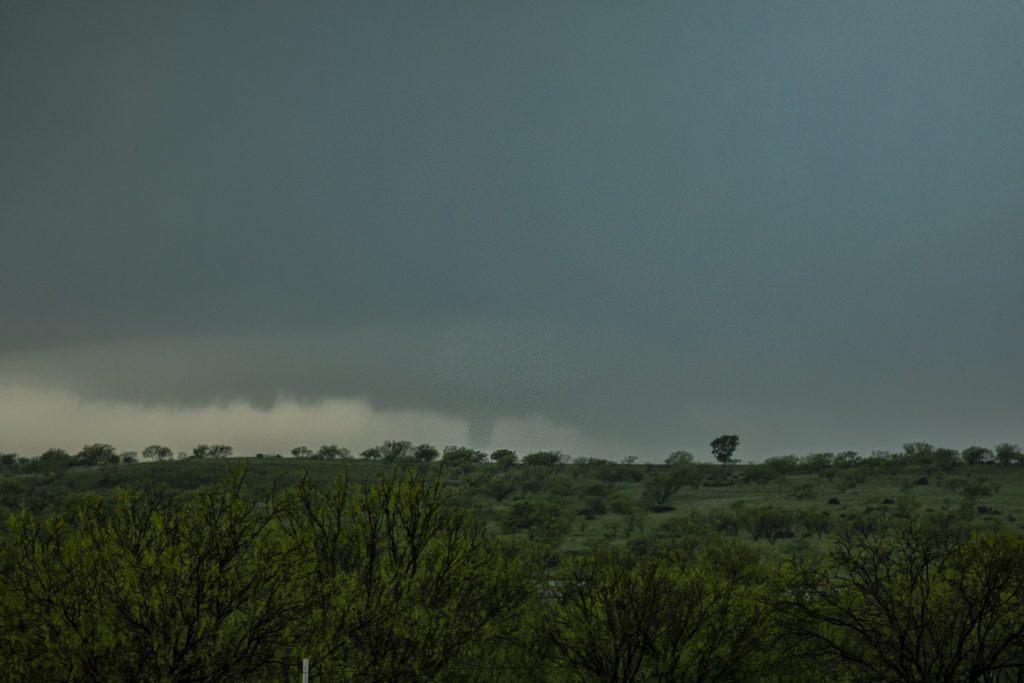
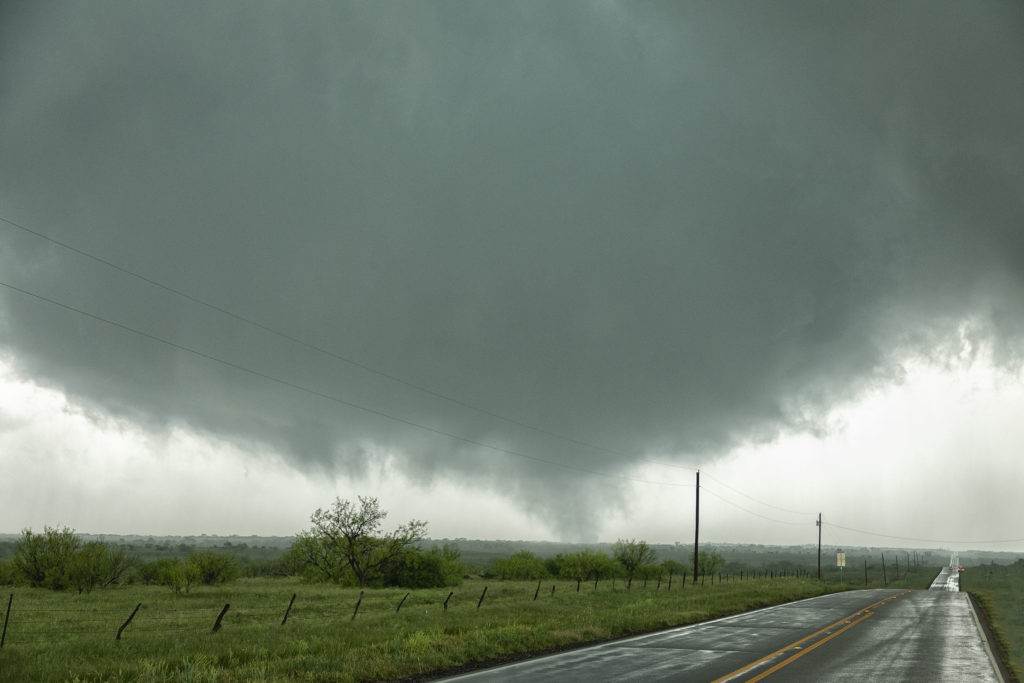
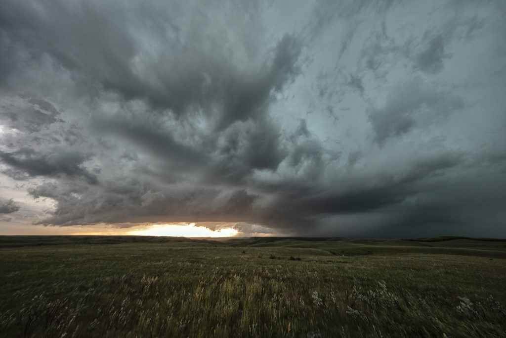
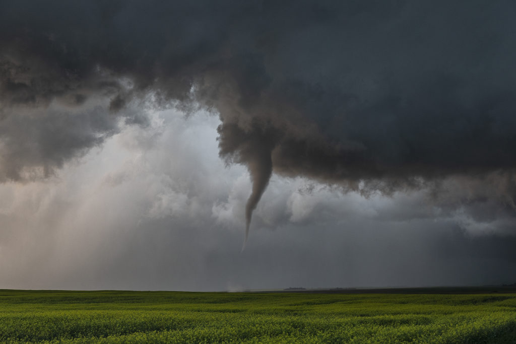
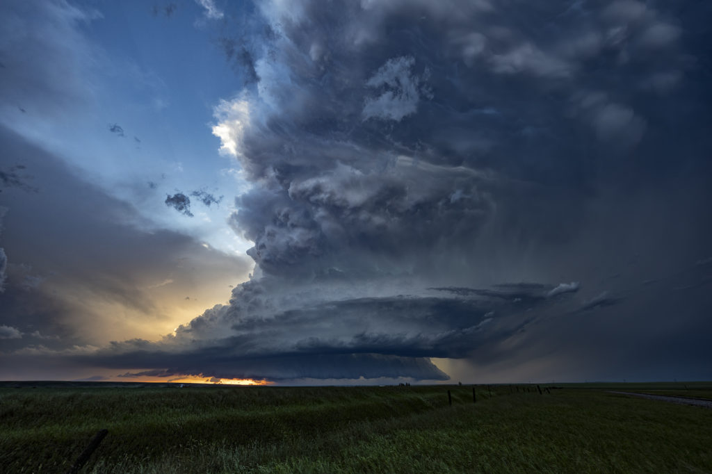
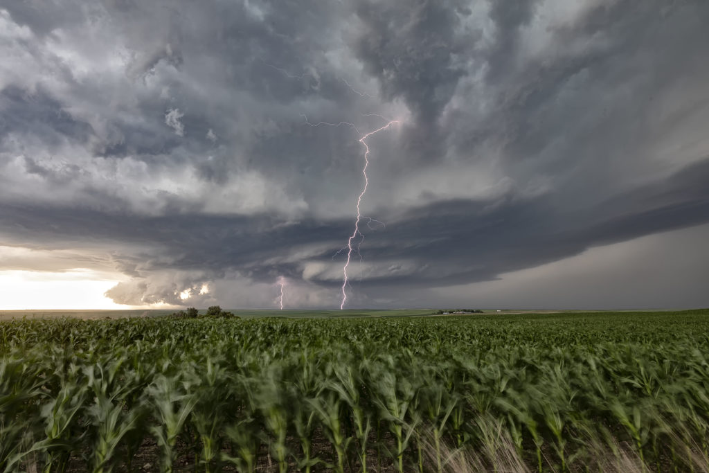
This day had a lot going for it. Great shear, good moisture and instability, and a dryline would help set the stage for intense supercells. Our first storm of the day formed near Ft Morgan and tracked northeast along I-76.  It became a rather large and occasionally disorganized supercell. However as it approached Sterling, it wrapped up hard and produced a brief, small tornado. Further to the east, a second, well organized and photogenic supercell formed. It produced a few brief tornadoes, however the structure of this storm would be one of the prettiest for 2019! As it came towards Imperial, a beautiful sculpted storm was present. At one point west of town, not only did the storm have a stunning appearance, but a partially rain wrapped tornado became visible. The cone shaped twister was on the ground for a few minutes before wrapping in rain again as we lost visibility of it. An amazing day with gorgeous storms and a few tornadoes! Enjoy the photos below!
May 26th Southeast Colorado Tornadic Supercell

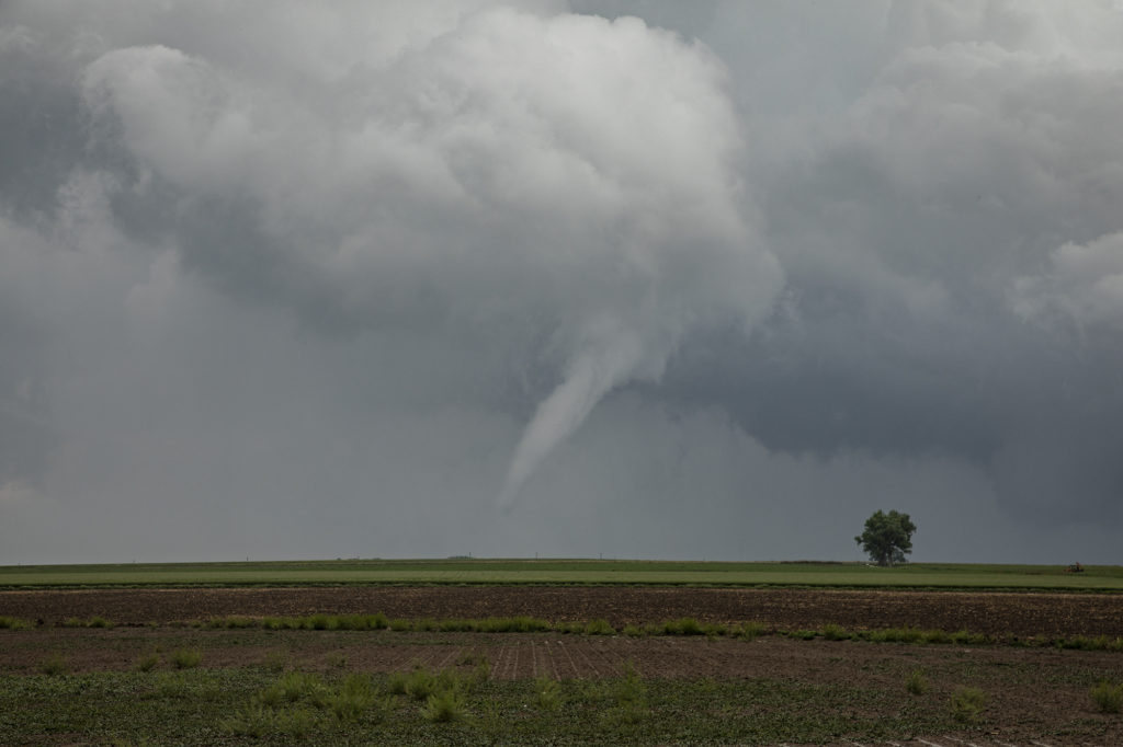
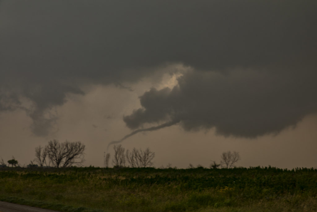
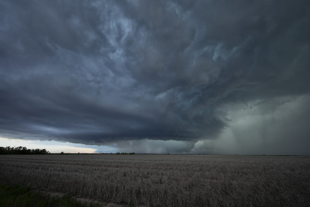
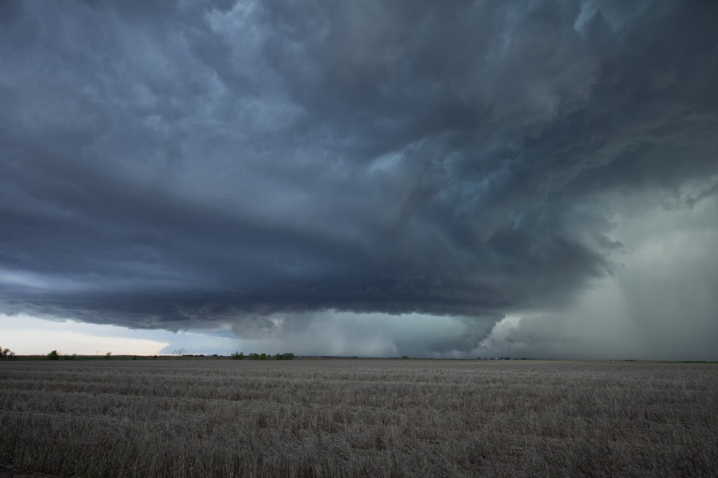
May 26th ended up being an exciting Colorado storm day! We captured a tornadic supercell just north of Lamar that had a brief pretty white elephant trunk shaped tornado. The day started out really messy as numerous elevated thunderstorms formed over eastern Colorado. An existing boundary that was visible underneath the elevated storms would set the stage for late day supercells, one of which was long lived and quite nice. By mid afternoon we were watching storms west of Lamar. They were in drier air with high cloud bases and could never really get intense.

Further east towards Lamar one storm rapidly developed along the boundary and tracked northeast. Moisture, instability and wind shear was much better in this location! It quickly dropped a funnel that persisted for nearly 10 minutes, touching down a couple times but causing no damage in the rural areas. It moved northeast and weakened as a second storm approached from the southwest and became tornado warned. It tried hard several times to produce but in the end it never did. We followed it northeast to the Kansas border before dropping further south and east into Kansas for late evening lightning.  An exciting day in Colorado and western Kansas! Enjoy the pics below. (First bright pic of white tornado is a cell phone shot)

May 22nd Northeast Oklahoma Tornadoes

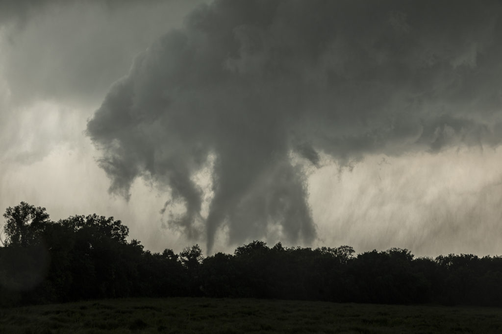
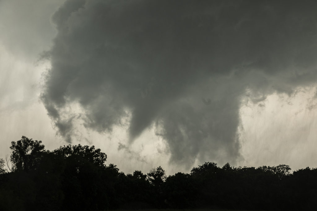
May 22nd featured incredible surface moisture and very high CAPE values as well. I was a bit concerned with upper level winds, but down low it appeared sufficient for tornadic supercells, especially with vertical stretching due to strong instability. We started the day heading towards northeast Oklahoma in the Tulsa vicinity. By mid afternoon storms exploded near I-40 well southwest of the city, so we headed that way. We arrived west of Okmulgee as a tornadic supercell approached. It produced a nice multivortex tornado about 1 mile to our west, followed by a cone just north of us. As the storm moved northeast it weakened as a second tornadic supercell approached town. This storm would produce at least 2 more tornadoes that we could confirm and possibly a 3rd brief tornado northeast of the city. Structure was nice and for last May storm motion wasn’t extremely fast. All in all a fun day. Later in the evening a couple intense tornadoes occurred in Missouri that fortunately did not cause any loss of life. Enjoy the pics below!

May 20th Texas/Oklahoma High Risk Day

My 20th looked downright scary on all models. SPC issued a HIGH RISK for long tracked violent tornadoes and had a greater than 95% probably of numerous/violent tornadoes on their tornado watch box they issued. Schools closed, Air Force bases evacuated aircraft, lots of safety precautions were made. It ended up being a major, major bust. Very few tornadoes occurred and there were no violent tornadoes. Fortunately we played the dryline in northwest Texas where strong heating and good convergence would result in a couple of supercells forming by mid afternoon. We blasted down to Paducah, Texas from Childress and watched one storm produced two tornadoes. One was on the ground for about 5 minutes and the other about 10 minutes. They were fun to watch skipping across the countryside!  Chaser convergence was horrendous this day, as expected being close to Oklahoma. We opted for another target later in the evening instead of fighting with the mobs in Oklahoma, but neither target panned out. Fortunately we got tornadoes this day as many, many chasers did not! Fun day, frustrating day and a disappointing day in the end. No lives were lost, very little injuries occurred. Good news for the plains!

May 17th Southwest Nebraska Tornadic Supercell

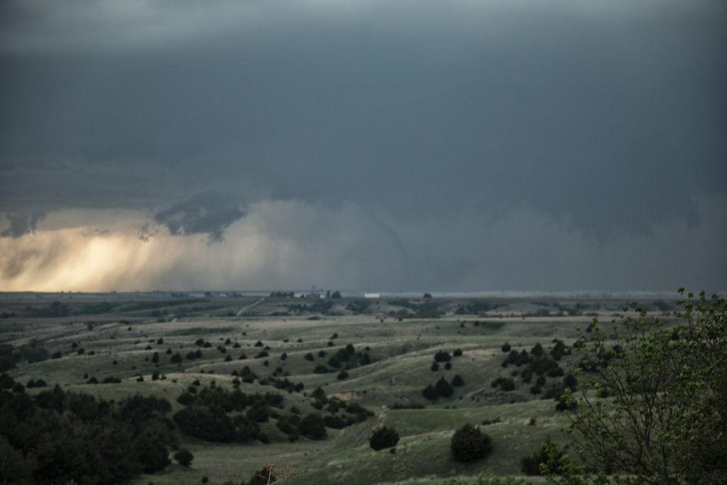
May 17th was an amazing day. Storms formed along a dryline in northwest Kansas and northeast Colorado and pushed into southwest Nebraska. One supercell approached McCook, NE and dropped a few tornadoes along the way. Strong wind shear, great instability and good surface moisture set the stage for this and other storms to form. The first tornado was quite pretty as it tracked just west of town. A couple more formed in the hills where roads were bad and thus not greatly visible from where we had to intercept them. None the less the storm was a very pretty supercell and long lived. It persisted for several hours before weakening north of Kearney, Nebraska.

May 4th Adrian, Texas Tornado

A fantastic day and great way to end the Caprock Magic tour this day! High based LP supercells formed west of Channing and Adrian, Texas this day amidst modest moisture and instability. Great wind shear allowed these cells to spin, enhancing hail production and longevity.  We watched one supercell west of Channing try hard to stay alive, but it just didn’t have the needed instability to survive long. We dropped down to I-40 west of Amarillo and headed towards a cluster of storms near Adrian. When we arrive it was apparent that one cell was anchored, enhancing its ability to rotate. As another cell approached from the west, the downdraft from that cell hit the anchored storm causing the low levels to rotate strongly. A white funnel formed and touched down for about 3 minutes before dissipating. The storm eventually became a very pretty high precipitation storm as it moved south of Amarillo. What a great day and an amazing event that caused our supercell to produce a tornado. Enjoy the photos!

May 1st Seymour, Texas Tornadoes

May 1st was a great setup. An outflow boundary lay in northern Texas with 70 degree dewpoints to its south. High CAPE, strong shear and lift along the boundary would cause several tornado warned supercells to form. However, only one would produce any tornadoes. We sat in Seymour for a couple hours waiting for initiation to occur at the triple point just southwest of town. Soon, a storm developed and shot to 55,000 feet in height. We blasted south through intense rain and lightning only to be greeted by the first tornado about 7 miles to our west. Poor road networks prevented us from getting close to this beauty! It lasted about 10 minutes and dissipated. Not long afterwards, a new meso formed to the east and started rotating intensely. A multivortex tornado touched down and lifted several times before a slender cone tornado formed. It bounced around the ground for a few minutes before lifting. We were about 1 mile from it when it occurred! You could hear the waterfall sound of the rear flank downdraft winds as it crossed to highway just north of us. Eventually the storm weakened as we blasted west to another tornado warned supercell. This storm became high precipitation quickly, but it tried hard to drop another tornado to our north. I cannot confirm if it did or not based on our position, but it spun wildly. Enjoy the photos!

April 30th Red River Area Tornadic Supercell

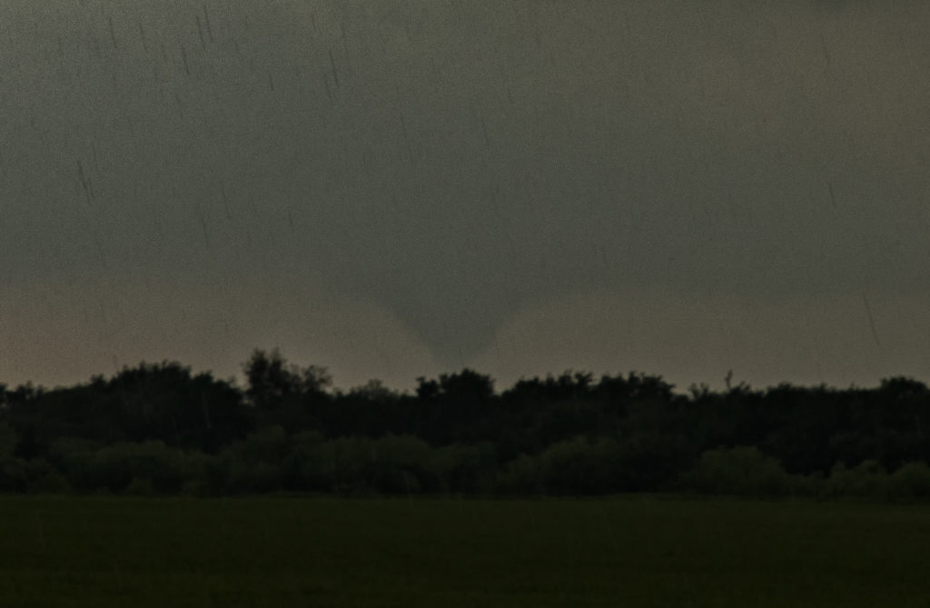
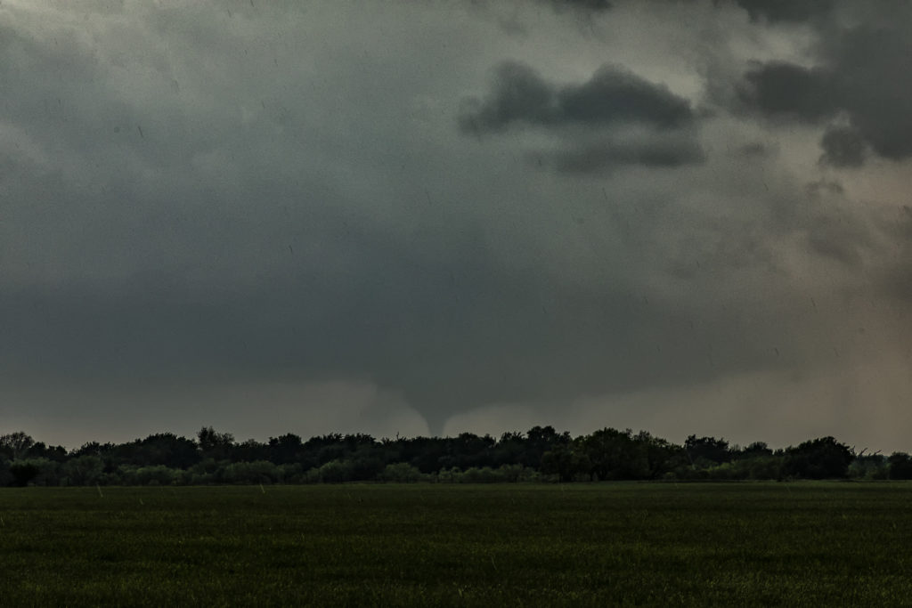
A day of big hopes was April 30th. Great moisture, high CAPE and strong deep layer shear would set the stage for supercell development. We started the day in Wichita Falls, Texas only to move across the Red River into southern Oklahoma. It appeared that storms would form along a cold front and intensify as they crossed the river into Oklahoma. We played with a cell near Randlett, OK initially, which never did much. It was severe, but never looked like a threat to produce tornadoes. Eventually a couple of cells formed in front of the cold front and rapidly became severe. One storm near Byers, Texas dropped a significant tornado just across the Red River from us. We figured since the storm was moving northeast at 35 mph that we would stay on the Oklahoma side of the river (since there are FEW crossings!) and wait for the storm and tornado to approach. To our much surprise the tornado dissipated and the supercell died as it came to us! There was NO reason for the NEW supercell to abruptly diminish! However it did, but not before we were able to get some photos of the structure and of the tornado in the distance. It was only about 8 miles away when it’s demise occurred. Fun day, frustrating day, but we all enjoyed ourselves!

July 10th Killdeer, Saskatchewan Canada Tornadofest

July 10th lived up to the potential forecast models showed! A strong shortwave trough would traverse across southern Canada and Montana, as a dryline/cold front and associated warm front would slide slowly east. Strong shear, deep moisture, high CAPE and several boundaries would be the focus on severe storms. The question would be whether or not they would be isolated or clusters/linear. Fortunately a cluster of supercells formed over southern Saskatchewan and the tail end cell anchored along the warm front west of Killdeer. This storm would become a tornado machine as it produced at least 11 tornadoes we counted. More may have occurred as multiple occlusions occurred and some were quite messy with low visibility. This was one of the best tornadic events we’ve witnessed in Canada in 20 years of tours! Fortunately the tornadoes stayed over rural countryside and did little damage. A couple of these were quite strong. This storm slowly moved east riding the warm front all the time and eventually was choked off by outflow from a linear complex over Montana. Amazing event and a great way to end our tour season! Enjoy the photos and video stills!

July 9th Northeast Montana Tornadic Supercell

July 9th had big potential. It wasn’t clear whether that would be across the international border into Canada or if storms would right turn along a warm front into northeast Montana and northwest North Dakota. Fortunately, for ease of chasing, storms crossed into the US and gave us quite a show! An intense supercell cycled and really ramped up as it crossed north of Plentywood, Montana. Due to high CAPE, strong deep layer shear, dew points in the lower 70s and the aforementioned warm front, the stage was set! This supercell became a monster, the storm of the day, as it rolled through Plentywood, MT and into far northwest North Dakota. Huge hail to baseball size, microburst winds of nearly 120 mph and an EF1 tornado that hit Plentywood, would be the highlight this day. A second supercell soon followed the path of the first and had just amazing structure as it rolled through Plentywood.  Highways ended up being blocked due to debris from downed trees, power lines and houses through town. Fortunately there were no fatalities. Check out the photos below. Enjoy!!!