Tag Archives | tornado

May 11th, 2000 Waterloo & Blackhawk County, Iowa

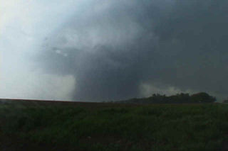
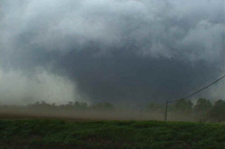
The events that occurred on May 11, 2000 will be etched in my mind till I die. It was the first time Dr Gold and Roger Hill chased together and witnessed the amazing tornadoes from this day! The incredible supercell that spawned at least 10 tornadoes that evening will go down as the single most incredible tornadic storm I have ever witnessed. This page will only contain the first of the tornadoes witnessed that day. The Dunkerton, Iowa F3 and those afterwards will be in the next 2 pages to come. This page is dedicated to the F4 wedge that barely missed the Waterloo area, but did cause significant damage, including injuries and one death on that date.

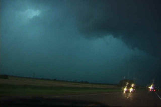
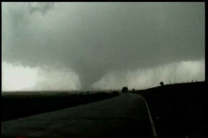
The set up on May 11 was iffy, but explosive. Everything was in place from a deep low in northwest Iowa, to surface temps and dewpoint in the 80s/70s respectively, CAPE values over 6,000, and good shear with strong backed surface winds. The main concern was an incredibly strong cap in place that would be difficult to break. At 6 PM CDT, a tornado watch was issued, and within an hour an explosive storm developed northwest of Waterloo. The photos that follow were taken from my Sony TRV900 digital camcorder. The closest shots were within 3/4 mile from this F4 killer tornado. Other stills will be added a they become available when I get my slides developed.
April 3rd, 2000 Olney, Texas Tornadoes

The weekend of April 29/30, 2000 proved to be exciting. I was a part of the National Severe Storms Laboratory/Texas Tech University project call MOCISE. Check out this URL for more on this project :

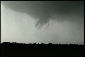
http://www.stormeyes.org/pietrycha/mocise/mocise.html We started our missions on Saturday near the Post area and encountered a nice LP supercell. This storm was rooted above the boundary layer and never could quite get its act together. It did produce decent sized hail and exhibited fair structure. Sunday was a very promising day and quickly became a chaser’s delight. We intercepted a tornadic supercell near Crowell. My probe team observed a large “v” shaped partially obscured tornado south of town that was churning up the countryside with numerous power flashes visible. Next we moved to a gorgeous wet classic supercell near the Olney area that produced three confirmed tornadoes observed by the NSSL team. This storm evolved into a huge HP monster and had gorgeous structure.

June 3rd, 1999 Almena, Kansas Tornado

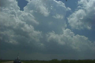
My encounter with a gorgeous F3 tornado and associated supercell near Almena, Kansas on June 3, 1999 was my favorite chase of the year. The setup was a simple forecast to nail. A dryline was evident based on surface obs in western Kansas. An east/west outflow boundary was in place from previous night’s convection. By noon the dryline was surging east as is typical with the dryline. About 3 PM a line of towering cu were seen on visible satellite and from my position. A dryline bulge formed across west central Kansas, so I decided to get into position to the northeast of the dryline bulge where it intersected the outflow boundary, and the results are shown below. A rather isolated supercell formed and produced a very photogenic slow moving F3 tornado!!!!! Beautiful storm. These pics first show the development of the supercell. Then there are a series of 12 photos that show the development, maturity and dissipation of the 1/4 mile tornado.