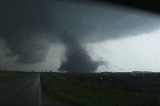
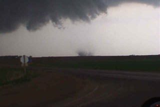
June 9, 2001 took us to North Dakota. Never again will I underestimate the importance of a boundary in tornado genesis. A weak bubble high formed over South Dakota after a morning MCS moved through, scouring out all moisture. However, north of the warm front in western North Dakota moisture was pooling with dewpoints in the 60s. So north we headed. There was 50 kts at 500 mb, great veering profile, high CAPE, and an approaching short wave. On the way northward through South Dakota, dewpoints bounced from the upper 40s through the 60s, but by the time we hit I-94 they increased to 66F. A couple of severe storms were ongoing, with one storm potentially tornadic. Other storms rapidly formed along the boundary, which was also collocated with I-94. Within 30 minutes upon arrival, a supercell exploded just to out east, so we raced after it, and what a show it gave us. Rapid cascading from the RFD was visible, huge hail soon followed, and finally as we got in front of it a possible tornado crossed in front of us causing significant damage.
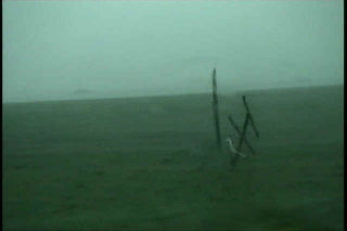
May 29th, 2001 Childress, TX Tornadic Supercell
May 29 was a day with tremendous tornadic potential in the Texas panhandle. Incredible shear, instability, CAPE and a boundary existed. SPC issued a PDS tornado watch box for the panhandle by early afternoon. We sat in Amarillo till the initial storm developed near Tulia. This storm took a long time to get its act together and even split 4 times. Typical for a high CAPE/high shear environment. Finally the supercell got going near Turkey, Texas and lost some of its outflow dominant appearance. A couple of possible rain wrapped tornadoes were seen as rapid cascading rain curtains were less than a mile away from us. I could even see condensation fingers rising and wrapping into the rain curtains. By early evening, this storm became my all time favorite supercell. It looked like an upside down wedding cake with the entire updraft rotating. About dark a rather large tornado developed near the town of Quanah, Texas and caused damage. The irony of it all is that just to our north a tornadic supercell produced several large tornadoes near the town of White Deer, Texas!
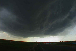
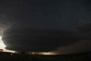
May 27th, 2001 Barber County, KS Weak Tornado & Supercell
May 27 was a potentially violent day for the plains. A frontal boundary was draped across southern Kansas, and elevated severe storms developed north of this boundary. We decided to wait for any surface based convection to develop south of the front, and finally we were treated to a very violent, hail producing supercell that eventually went upscale into an incredible MCS that blasted Oklahoma that night. Pics of the supercell, weak tornado near Sitka, and incredible “outer space” shelf cloud are shown below.
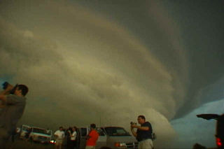
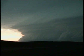
May 6th, 2001 Oklahoma Tornadoes
May 6 was an incredible day. It was to be the “day after the big day” type scenario. On May 5, a couple of weak tornadoes occurred, but did not destroy the set up for May 6. The morning models showed an explosive situation with over 5,000 j/kg of CAPE, strong westerly 500 mb winds across southern Oklahoma, and an old boundary. We headed south towards the Ardmore area to play the better shear, and much to our dismay, severe thunderstorms developed back in Oklahoma City where we had come from. The temptation to go back and chase these cells was short lived as two explosive supercells developed in a north/south line from Springer to Overbrook. The first storm produced the first tornado below, an F2 that was gorgeous. The second storm also produced an F2 near the town of Overbrook. Finally we ended up near Denton, Texas chasing a gorgeous LP supercell that is shown in the last photos.
May 3rd, 2001 Morton, Texas HP
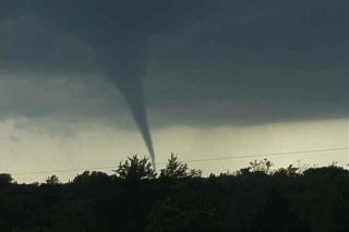
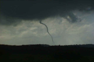
After a quick return southward from the Glenville, Minnesota chase, the Texas panhandle was the place of choice. Rapidly returning moisture from the gulf on southeasterly winds pushed the dewpoints to near 70 at Lubbock. An old stationary front and an approaching short wave trough would be the fuel this day to kick off a large HP supercell thunderstorm. This storm produced over a half foot of rain near Morton, Texas as well a copious amounts of baseball sized hail. Further a small fairly weak tornado did occur and I was able to catch it on film.
May 1st, 2001 Glenville, Minnesota Tornadoes
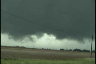
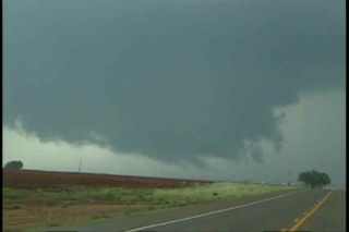
The day of May 1, 2001 will live a long time in my mind. The day started out with a potentially explosive situation in northwest Iowa and southwest Minnesota. A strong low with associated warm front was approaching the area from South Dakota, as well as a pronounced dry punch from Nebraska. Our thoughts were to get in position at the nose of the dry punch. Several tornadic supercells developed in Minnesota before we could make it there. However, little did we know that the tail end storm, the Glenville storm, was to be the most spectacular show of the day, and maybe of the season. The cell developed in Winnebago county, Iowa and intensified as it crossed the border into Minnesota. It rapidly developed one of the most incredible large rotating wall clouds I have ever seen, followed by an awesome tornado. Unfortunately it hit parts of the town of Glenville. A second even larger tornado developed after an occlusion near the town of Austin, Minnesota, followed by a third “Wizard of Oz” type tornado near Rosebud, Minnesota.
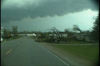
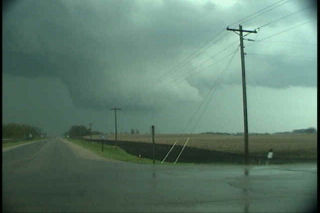
June 12th, 2000 Grand Forks, ND Tornadic Supercell
After a fun tornadic supercell near Bismarck, ND the day before, June 12th turned out to be a day not soon forgotten. We stayed around the Bismarck area until shortly after noon watching and waiting. We noticed on a satellite pic that congestus was forming on a nice convergence boundary from west of Grand Forks to near Jamestown. So off we went, to get into position for our first storm of the day, and what a storm it was. We arrived near the Larimore, North Dakota area around 6:30 PM as a possible tornado touched down along a wall cloud/updraft just to our northwest. Power flashes confirmed something under this wall cloud.
The first storm weakened so we headed east on Grand Forks county road 6 to road 3 and watched a nice elephant’s trunk tornado form about 2 miles east of us. This only lasted for about 5 minutes then dissipated at 7:48 PM. We decided to get in front of this supercell and shoot some structure photos, and WOW! What a mothership storm!!!!
May 17th, 2000 Brady, Nebraska Supercell & Tornadoes
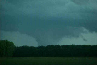
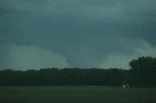
May 17 was another one of the unforgettable days as a tour guide for Silver Lining Tours. Most of Nebraska was under a moderate risk and the set up was promising for tornadic supercells. A strong low was parked over far southwest Nebraska with a warm front across the I 80 area. A dryline was pushing east and north which put the North Platte area in line for some great action. High based storms fired along the dryline in northwest Kansas by early afternoon.
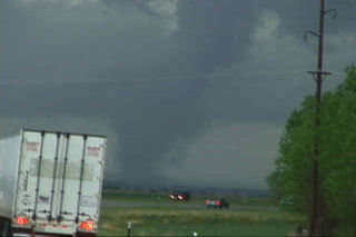
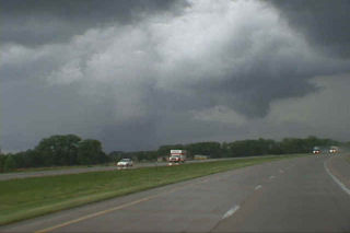
We waited near Lexington for the first cell to fire northeast of the dryline, and it did. This cell raced northwestward over Frontier county and produced our first tornado of the day (see photos below from Farnam). An LP supercell was just east of the first storm and really starting to look impressive as it tracked just east of the first storm. This was the storm that would produce the damaging Brady tornado. We quickly headed north to intercept the Brady storm which was now a gorgeous barber pole supercell. As we headed west on I 80 near Maxwell, a large tornado was visible just south of the Platte River. Pics of this memorable supercell, tornado and damage are below.
May 11th, 2000 Blackhawk County, IA Tornadoes
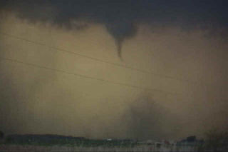
This page contains several more photos of tornadoes and storm structure from the Waterloo/Blackhawk county, Iowa tornadic supercell of May 11, 2000. After extensive review of my video, I have confirmed 7 tornadoes from this supercell. Images of all 7 tornadoes are contained on my Iowa pages. So, please check out all the pages, and enjoy!
May 11th, 2000 Dunkerton, Iowa F3 Tornado
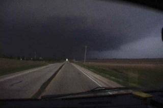
This is the second damaging tornado from the cyclic supercell on May 11, 2000 in Blackhawk county, Iowa. This tornado formed to the southeast of the decaying original tornado and ended up damaging part of the town of Dunkerton. Unfortunately, Dunkerton had been damaged in 1999 by floods, and now was to suffer again only a year later. The tornado traveled in a northeast direction and clipped the western side of town causing up to F3 damage to some buildings.