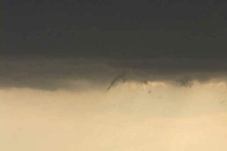
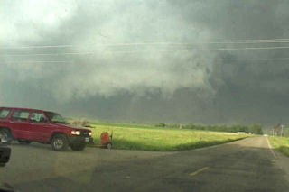
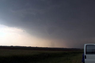
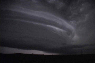
This was a tough one for me. We left Denver early this AM with a target of Dickenson, ND. After almost 800 miles, we arrived to see 3 high based storms get their act together. Strong moisture return ahead of a short wave trough would provide lift to get these storms going. In spite of only upper 50s dewpoints, these 3 storms turned into supercells, with the southern storm, near Max, ND our target. We arrived as the storm was a beautiful saucer base with clear slot. A couple of funnels formed and extended close to the ground. Close enough I would consider this tornadic.
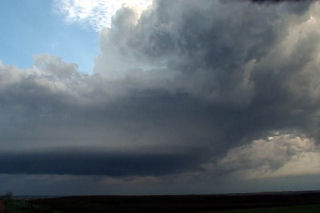
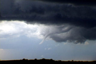
May 29th, 2004 Concordia, Kansas Area – Tornadic Supercell
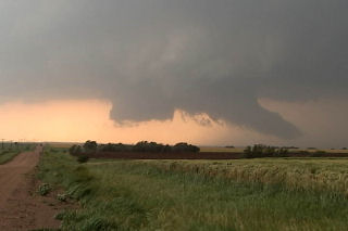
The setup May 29 was classic. A strong dryline surge was coming into Kansas. A surface low was developing with a triple point in north central Kansas. Moisture was spreading northward and would wrap around the surface low. By late afternoon, cumulus towers developed west of Concordia. It didn’t take long for an intense supercell to form and track northeastward along the warm front. This storm produced at least 5 confirmed tornadoes, including one that would hit the town of Norway, Kansas producing widespread damage.
May 22nd, 2004 Nebraska Tornadofest
May 22 took me to Nebraska. All things were coming together for quite a severe weather episode. A strong dynamic low and associated trough were coming out of Colorado headed for southern Nebraska. All severe weather indices were pointing to the area southeast of McCook, eastward towards Fairbury. Enough shear, instability, moisture and lift were present for strong tornadic supercells, and the atmosphere did not disappoint. By early afternoon, severe thunderstorms erupted in Colorado and spread into southwest Nebraska. We blasted westbound out of Hastings towards the tail end supercell southeast of McCook. We arrived in Beaver City in time for the show of the day. A quick tornado developed as the storm ingested deeper moisture, however this would be just the beginning.
Soon, a strong tornado developed just south of town and stayed on the ground for about 15 minutes. This was a beautiful elephant trunk/stovepipe that did little damage. A second tornado formed after an occlusion near the town of Orleans. This tornado just missed the north side of town. We are parallel with the tornado its entire life cycle. Just east of town I got out of the van and video taped as the tornado churned about 200 yards north of the road. It hit s building and filled the air with debris. I jumped back in the car and we drove east as it dissipated. In the meantime another tornadic storm (near Hallam, NE) formed. As we tried in vain to catch it a another storm formed near Republic, Kansas. This storm would produce 3 tornadoes, one of which was fairly strong. The updraft structure was breathtaking!!!! Finally at dark the last tornado formed with this storm as we blew it off to get ready for Illinois the next day.
May 12th, 2004 Southern Kansas Tornadoes and Supercells
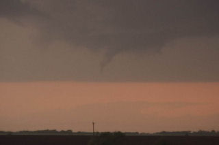
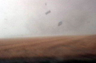
May 12 was to be the best of days and the worst of days. I arrived on the first cell to develop. We were sitting in Pratt as the dry line bulge kicked off the first respectable towers. However there were to be 4 cells this day and 3 of the 4 produced tornadoes. I was able to see the very first tornado, but missed the Attica tornado because I was still chasing the northern cell, which still had incredible structure. One storm chasing rule cost me, and that was to NEVER leave your storm unless you know it is dying or dead. And this cell wasn’t dying or dead. Finally, it crossed the cold front and became undercut, thus pretty much ending its tornado potential, so I blasted south and intercepted the Isabel cell, then caught the Anthony wedge (Harper county) at dark. This storm had incredible structure and looked like a striated soda can at dark. It was VERY electrified.
May 10th, 2004 Elbert County, Colorado Tornadoes
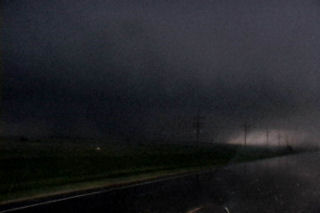
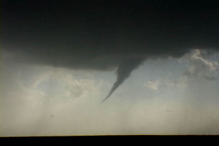
May 10th actually brought me to Oklahoma City for the end of tour 1 and the beginning of tour 2. Morning analysis indicated a strong potential for supercells and possible tornadoes in Colorado near the Palmer Ridge south and southeast of Denver. By mid afternoon storms developed near I-70 along a convergence zone. After a couple hours of struggling, on supercell became the dominant storm and produced up to 9 tornadoes. I called my wife Caryn to see if she wanted to chase the developing situation and out the door she went!!! Camera in hand. I vectored her to north of Limon where she encountered the first of many tornadoes. After videoing 40 minutes of tornadoes, her camcorder battery died as a large wedge tornado formed. Finally, near dark the last elephant trunk tornado formed northeast of Limon and was backlit by lightning. The photos below are just the beginning of this page dedicated to this event.
May 8th, 2004 Dallas County, Iowa Tornadic Supercells
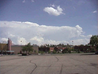
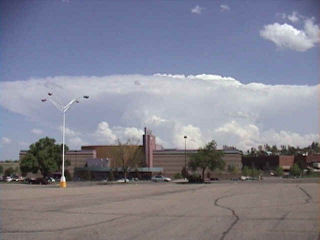
This day took me to Iowa for high based supercells. The set up wasn’t ideal with only low to mid 50’s dewpoints with temps in the mid 80’s. By mid afternoon convergence along a west/east oriented boundary would be the focal point for severe thunderstorms where moisture pooled along the boundary. Storms fired in Green county and back built and moved southeast into Dallas county. This storm produced 2″ diameter hail and had decent structure. During its first cycle, it produced a weak tornado for about 1 minute. Later when it went HP, it had a very nice rotating wall cloud. Finally it lined out around 9:30 PM and moved south of Des Moines.
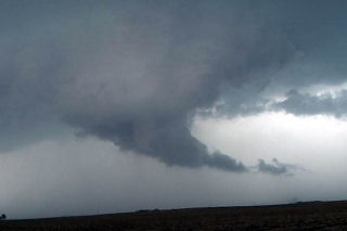
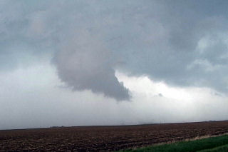
March 27th, 2004 Edwards County, Kansas Tornadic Supercell
March 27 took me to southwest Kansas. A triple point set up was to be the focus for initial supercell development this day. Models showed a couple waves of convective development with the advancing trough and cold front with the dryline and triple point to be the focal point for potential tornadic supercells by late afternoon. However, the first wave of convection of the day, which developed late morning and early afternoon, was the only wave to happen. Fortunately I left early for my target of Dodge City, Kansas. After driving through blizzard conditions in Colorado, I got in front of the advancing cold front just west of Ogalla, Kansas on I-70. I dropped south to get to my target, and at the same time a supercell developed just east of Dodge City. This storm rapidly intensified and produced several tornadoes. I had to core punch the FF core to get to the updraft and managed to break my first windshield of the year with 2.5″ diameter hailstones. By the time I got to the updraft, the first LARGE tornado (F3) was dissipating. I managed to see it as it dissipated, but missed the biggest action by 10 minutes. Two other tornadoes and several funnels formed. Also included in the photos, was an LP supercell from the night before that my wife Caryn and I intercepted near Boise City, OK. Check out the photos below.
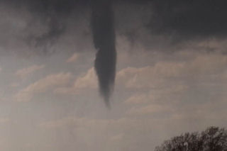
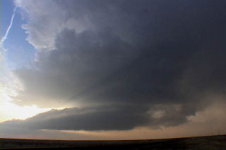
July 8th, 2003 Bell Forsche, SD Supercell
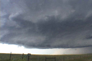
Limited moisture would destroy the possibility of a significant tornado on this day. Wonderful wind shear would be enough to get a couple intense supercells developing. One such storm developed in southeast MT and moved into western South Dakota. This supercell did everything it could to produce a tornado, but could not. However it did exhibit impressive structure. As night fell in South Dakota, this storm became an electrified monster.
June 24th, 2003 South Dakota Tornadofest
Some days you never forget. This day was to be one of those days. I spent the night in O’Neill with my tour and my fiancé Caryn who had yet to see a tornado. This was to quickly change. Morning analysis showed a well defined boundary along the NE/SD border extending east/west. This boundary slowly drifted northward into South Dakota by early afternoon, as did we. Cells started developing west of me in the hot air, but we waited patiently near Pickstown, SD. By 3 PM, it was evident we needed to go north to near I-90 and the Mitchell area. As we drove north, a supercell rapidly developed just west of Mitchell. By the time we could get the base into view, a huge block wall cloud was visible. Soon, a large cone tornado formed west of Mitchell, south of I-90. We approached the tornado to our north, but were a good 10 miles from it as it roped out, while another weaker tornado formed after the occlusion to the east. By the time we reached updraft base, the show was over. But we did manage to catch a couple decent views of both tornadoes.
Next, I noticed an explosive updraft northwest of town. We raced northwest towards the town of Woonsocket and as we approached a truncated cone tornado formed. This tornado morphed into a large stovepipe, then elephant trunk, then stovepipe again as we watched from 1.5 miles east of it. A GORGEOUS tornado to say the least. After 12 minutes, it dissipated. The occluded updraft died, as a new meso formed to our northeast. However, now the road options were pathetic with only dirt and gravel roads to use to keep up with the storm. As we zigzagged across the countryside northeast of Woonsocket, another supercell was developing farther to our east. It quickly dropped twin tornadoes about 8 miles east of us. We decided to abandon our efforts on our shriveling storm and go after this intensifying tornadic supercell south of Iroquois, SD. As we maneuvered muddy dirt roads, another tornado formed under the new storm. This nice rope tornado was about 5 miles to our east. As we got closer, now about 6 miles south of Iroquois, a multivortex tornado formed along with a small satellite tornado. What a sight!!!!!!!
I decided to get the tour closer, so we raced up to Iroquois, then east of highway 12 toward Manchester and DeSmet. I knew we would have to punch the hook of the storm and warned everyone what we could find as we punched it. Sure enough, just west of Manchester a VERY LARGE tornado had just crossed the road about 300 yards in front of us. This tornado was very violent. As it ripped the town of Manchester apart, we sat in awe as the tornado dropped tons of debris all over the countryside. It moved north of Manchester and continued to be a violent tornado (rated F4) as it went through a long rope stage. Finally it roped out as we decided to head towards DeSmet. Another multivortex tornado quickly formed after yet another occlusion and stayed on the ground for 4 minutes. Finally, northwest of DeSmet the last and very photogenic tornado occurred and last nearly 15 minutes!!! What a day!!!!!
June 9th, 2003 Northeast Nebraska Tornadoes
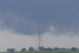
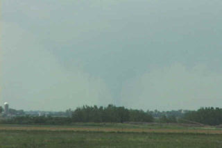
June 9 was to be one of those unforgettable days. Strong shortwave energy approaching from the west was to interact with a warm front boundary in northern Nebraska where rapidly increasing moisture would help provide the fuel needed to spark severe thunderstorms. By late afternoon a thunderstorm developed near Springview northwest of O’Neill. This storm went on to produce at least 3 confirmed tornadoes over the next several hours. Two of these tornadoes were photogenic with the final one north of O’Neill being a large dusty multivortex tornado. Pics of these tornadoes are shown below in the order that they occurred. Enjoy!