
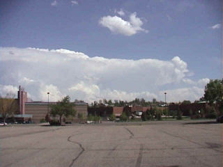
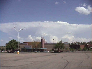
May 10th, 2004 Elbert County, Colorado Tornadoes
May 10th actually brought me to Oklahoma City for the end of tour 1 and the beginning of tour 2. Morning analysis indicated a strong potential for supercells and possible tornadoes in Colorado near the Palmer Ridge south and southeast of Denver. By mid afternoon storms developed near I-70 along a convergence zone. After a couple hours of struggling, on supercell became the dominant storm and produced up to 9 tornadoes. I called my wife Caryn to see if she wanted to chase the developing situation and out the door she went!!! Camera in hand. I vectored her to north of Limon where she encountered the first of many tornadoes. After videoing 40 minutes of tornadoes, her camcorder battery died as a large wedge tornado formed. Finally, near dark the last elephant trunk tornado formed northeast of Limon and was backlit by lightning. The photos below are just the beginning of this page dedicated to this event.
No comments yet.