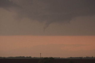
May 22nd, 2004 Nebraska Tornadofest
May 22 took me to Nebraska. All things were coming together for quite a severe weather episode. A strong dynamic low and associated trough were coming out of Colorado headed for southern Nebraska. All severe weather indices were pointing to the area southeast of McCook, eastward towards Fairbury. Enough shear, instability, moisture and lift were present for strong tornadic supercells, and the atmosphere did not disappoint. By early afternoon, severe thunderstorms erupted in Colorado and spread into southwest Nebraska. We blasted westbound out of Hastings towards the tail end supercell southeast of McCook. We arrived in Beaver City in time for the show of the day. A quick tornado developed as the storm ingested deeper moisture, however this would be just the beginning.
Soon, a strong tornado developed just south of town and stayed on the ground for about 15 minutes. This was a beautiful elephant trunk/stovepipe that did little damage. A second tornado formed after an occlusion near the town of Orleans. This tornado just missed the north side of town. We are parallel with the tornado its entire life cycle. Just east of town I got out of the van and video taped as the tornado churned about 200 yards north of the road. It hit s building and filled the air with debris. I jumped back in the car and we drove east as it dissipated. In the meantime another tornadic storm (near Hallam, NE) formed. As we tried in vain to catch it a another storm formed near Republic, Kansas. This storm would produce 3 tornadoes, one of which was fairly strong. The updraft structure was breathtaking!!!! Finally at dark the last tornado formed with this storm as we blew it off to get ready for Illinois the next day.


No comments yet.