Tag Archives | tornado

May 12th, 2005 South Plains, Texas Tornadoes & Hailstorm

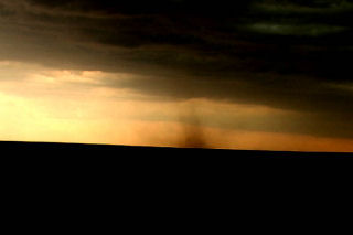
It was the day in between tours and Dr Dave Gold rallied the troops to meet me in OKC early. We didn’t get out the door till 1 PM, headed southwest towards the triple point near Plainview. By 3 PM we were hearing of tornado reports and the Baron system showed a nice supercell near Plainview. I thought we would get storms firing off that boundary most of the afternoon, but never figured on what we saw.

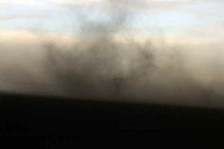
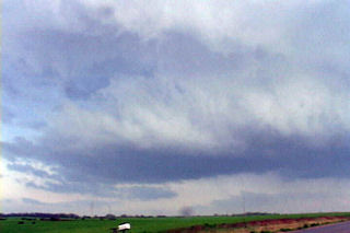
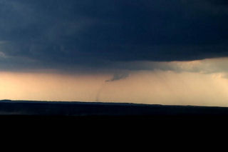
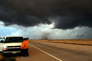
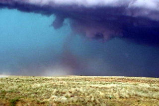
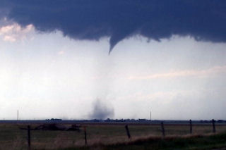
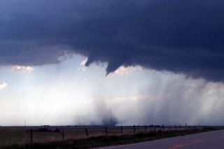
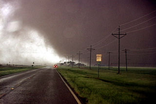
We arrived southeast of Silverton by 5 PM and watched as the eastern supercell spun and tried hard, but developed outflow problems. We finally blew it off and headed through Silverton and south towards South Plains. The storm looked MONSTROUS and very HP. As we approached 207/689 intersection a tapered elephant trunk tornado formed just to our southwest. This tornado widened and strengthened as it moved east across 207. We SLOWLY drove south as it approached the highway, and at one point were about 200 yards north of it, getting the best contrast we could get. We had a Japanese film crew with us who had a probe similar to Tim Samaras’s, and they were able to drop it in the path of this tornado. The footage was INCREDIBLE!

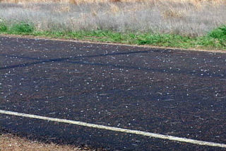
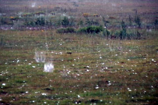
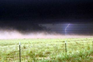
The tornado crossed 207 and dissipated about one mile east of the highway. According to my time stamp on my camcorder, it was on the ground for 12 minutes. Many power poles were down, blocking 207, with some out buildings destroyed. It missed South Plains by about 2 miles or it could have been devastating!!! A second broad circulation developed about two miles east of the first tornado and a multivortex tornado formed. The motion in the cloud base and the tornado was horrendous!!!!! At one time I counted 4 vortices in this tornado. Then the real fun started as we were getting softball sized hailstones wrapping around the back of the tornadic circulation. It dissipated after about 5 minutes. Due to softball sized hailstones, we stopped and to seek shelter in a farmer’s tin carport. Then we had to sit and watch as baseball to softball sized hail took the farmhouse apart, along with trees and two windows in the van as we couldn’t get it totally under the shelter. One of the most prolific hailstorms I have EVER witnessed. Then we took off and headed east to Childress and watched the fantastic CG display with this monster!
May 10th & 11th, 2005 Supercells & Tornado

An interesting period for May 10 and 11. I captured an incredible mothersip supercell May 10 near Grand Island . This storm formed on the triple point and became one of the prettiest supercells, structure wise, that I had ever seen. It almost immediately started rotating and became severe quickly after it formed. There were many reports of tornadoes with this storm, none of which I believe are true. It was fairly high based its entire life.

On May 11 we left Kearney mid morning headed south towards Stockton , Kansas . When we arrived it was 81/68 with a nice southeast wind early afternoon. We watched as soft towers would go up and get sheared over. We ended up chasing the cell that was tornado warned northwest of Stockton . These cells were high based, and not very organized. As they crossed front, they became even more elevated and did not much of anything.

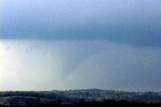
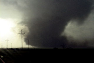
Mid afternoon we blew of this junk and headed west to the triple point as cell exploded there. We arrived near Benkelman and came over a hill to catch a glimpse of a weak skinny tornado west of town. The storms looked linear somewhat with a shelf cloud racing northeast. Updrafts were visible behind the shelf. Then something weird happened. My temp and dewpoint went from 63/59 to 71/64 in a matter of 1 minute. All of a sudden an updraft base starting rapid cascading motion, then rapid anticyclonic twisting and turning. Then a loud waterfall sound formed and a few seconds later a tapered cone funnel formed almost overhead. As quick as all the happened, less than a minute, a debris cloud formed in a field just to the southwest of the van. RFD hit the van on the NORTH side of the tornado, which we determined WAS anticyclonic!
We blasted north away of this northeast moving tornado as condensation developed to the ground. Our view out the west side of the van was one of  condensation lifting with multiple vortices twisting and turning as debris, old corn stalks and tumbleweeds went flying up and rapidly rotating around the vortex! This tornado was no more than 100 yards from us and closing. We drove at a fast pace to get away from this tornado and managed to get a quarter mile away and we stopped. It immediately dissipated as the funnel rapidly vanished. This entire sequence happened in 3 minutes!

April 19th, 2005 Logan County Supercell & Tornado(s)?

April 19 was an interesting set up. A large closed low over the inter-mountain west would meander without moving much eastward this day. A surface low would develop over northeast Colorado with a boundary extending into Nebraska. This boundary would be to focus for severe thunderstorm development. Several storm first formed north into Nebraska and went severe. I decided to play the tail end storm which ended up being the prettiest storm of the day. Explosive convection developed north of Sterling mid afternoon as a substantial LP supercell formed. This storm produced at least one brief tornado, if not two!

April 10th, 2005 St. John, Kansas Supercell & Funnels

April 10 was a day I wouldn’t soon forget. We had to leave Denver early to escape a raging blizzard. We were able to get out in front of it and into the warm sector under sunny skies. This was a tough day forecast wise for me as it looked like the dryline bulge would be the place to play. We later discovered too much dry air and a perpendicular orientation of the mid level winds to the dryline would cause the storms to form in a line instead of discreet supercells. Too much dry air never let the storm updrafts get organized for long periods. Later we also found out about the tornadoes in Trego county, to our north. We had actually taken off from the Pratt area to head back north and play that spot, but changed our minds. Live and learn. Thank goodness it is early season!

March 20-21st, 2005 Kansas & Oklahoma Supercells & Tornadoes

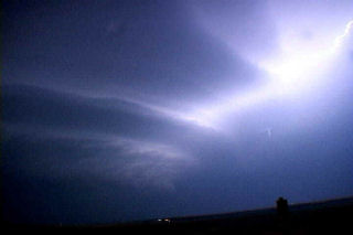
The weekend of March 20 and 21 shaped up to be an active period as a deep negative tilted trough developed and pushed south across the southern plains. I couldn’t resist the first chase of the year and I am glad I didn’t! Caryn, Colton and I left Sunday afternoon for what hoped to be elevated supercells in Kansas, then into Oklahoma for tornadic supercells the following day. The atmosphere did not disappoint. An elevated supercell produced copious amounts of CG and hail near Rush Center, Kansas during the evening of the 20th. On the 21st we targeted the area just east of Oklahoma City. By mid afternoon an awesome supercell developed and produced 4 confirmed tornadoes, 3 of which we captured on video. The first tornadic circulation developed almost overhead and developed a nice funnel followed by a debris cloud less than 200 yards from the van. The second tornado was a nice multivortex tornado that lasted about 5 minutes. The 3rd was a small rope tornado that we weren’t able to capture on video. The last tornado, was a LARGE cone, that we tried desperately to catch but just couldn’t due to road options.

August 9th, 2004 Agate, Colorado Tornadic Beast

August 9th took me and everyone in Colorado by surprise. A strong supercell developed near Agate, east of Denver and tracked slowly southwest over the Palmer Divide. This storm was a prolific hail producer (softballs!) and produced numerous tornadoes. I lost my windshield, headlight, wipers, sat dome and a few other things. It was worth it to me.

June 21st, 2004 Amarillo, Texas Monster Tornadic Supercell

June 21 was a good set up for late June in the Texas Panhandle. Strong deep layer shear, a sharp dryline and high CAPE would provide a set up for supercells. Mid afternoon an LP supercell developed north of Amarillo and stayed on the triple point for a couple hours. Eventually the storm moved south along the dryline and became an incredible hail producer. It produced hail to cantaloupe size in Amarillo that caused $100m damage. This storm also produced several weak tornadoes.

June 16th, 2004 Lamar, Colorado Long Lived Tornadic Supercell

June 16 was to be a day I would not soon forget. Strong upslope flow would provide deep moisture in southeast Colorado. Deep layer shear was more than adequate for tornadoes. By early afternoon, skies cleared and strong heating destabilized the atmosphere. A nearly stationary supercell developed southwest of Lamar and slowly drifted eastward. This storm produced at least 5 tornadoes and possibly more. Due to the poor road network, two tornadoes were not able to be photographed. At one point I had rain and hail falling on a dirt road that quickly turned to Vaseline slick mud!! I though I would NEVER get out!

June 10th, 2004 Chappell, Nebraska Tornadic Supercell

June 10 was to be a day nobody would forget. We started in North Platte and analyzed data till early afternoon when a cell blew up west of Julesburg, Colorado on the dry line. I rallied the gang westward and arrived west of Big Spring on US30 just in time to watch the show start. This supercell developed into a beautiful classic with nice wall cloud, clear slot, FF core and an incredible tornado that lasted 28 minutes! This tornado morphed from a small nub funnel with debris cloud, into a full fledged strong cone tornado. The structure of this beast was a sight to behold!!!

June 9th, 2004 Woodrow, Colorado Tornadic Supercell

The set up for June 9 was good for the high plains of eastern Colorado. Strong upslope flow beneath strong mid level westerlies would provide a good shear profile. Supercells developed near Denver by mid afternoon and moved northeast. One storm produced copious amounts of hail and produced at least two confirmed tornadoes.