Tag Archives | tornado

July 19th Western Kansas Severe Storm

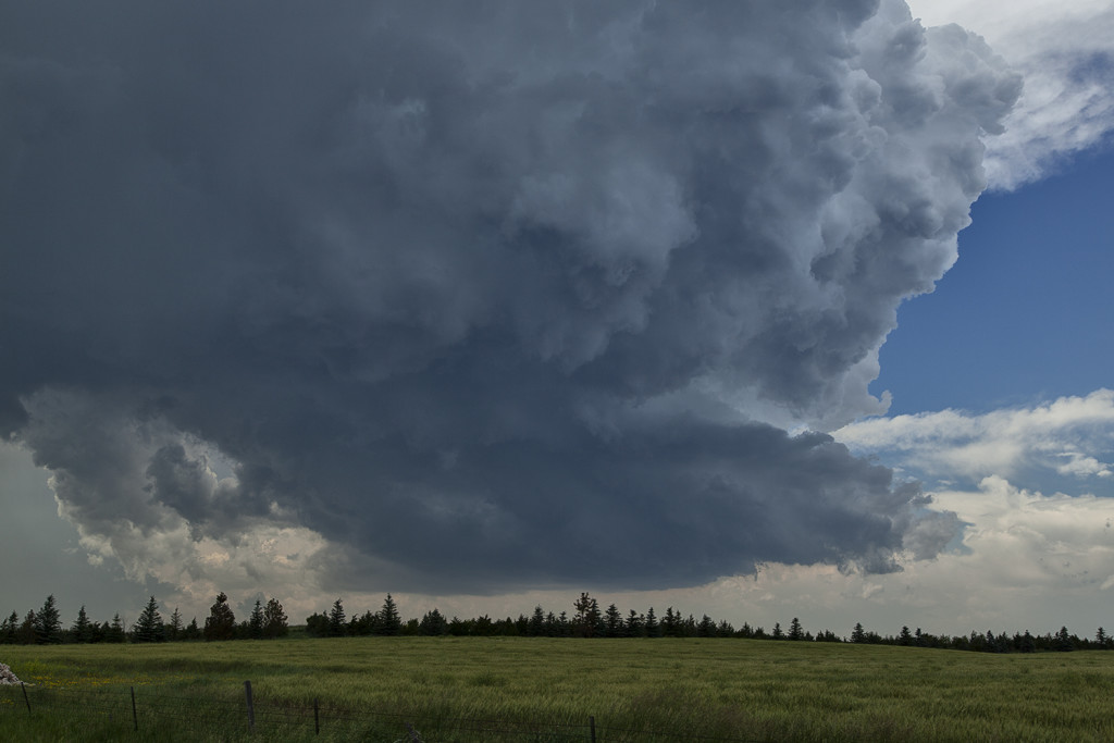
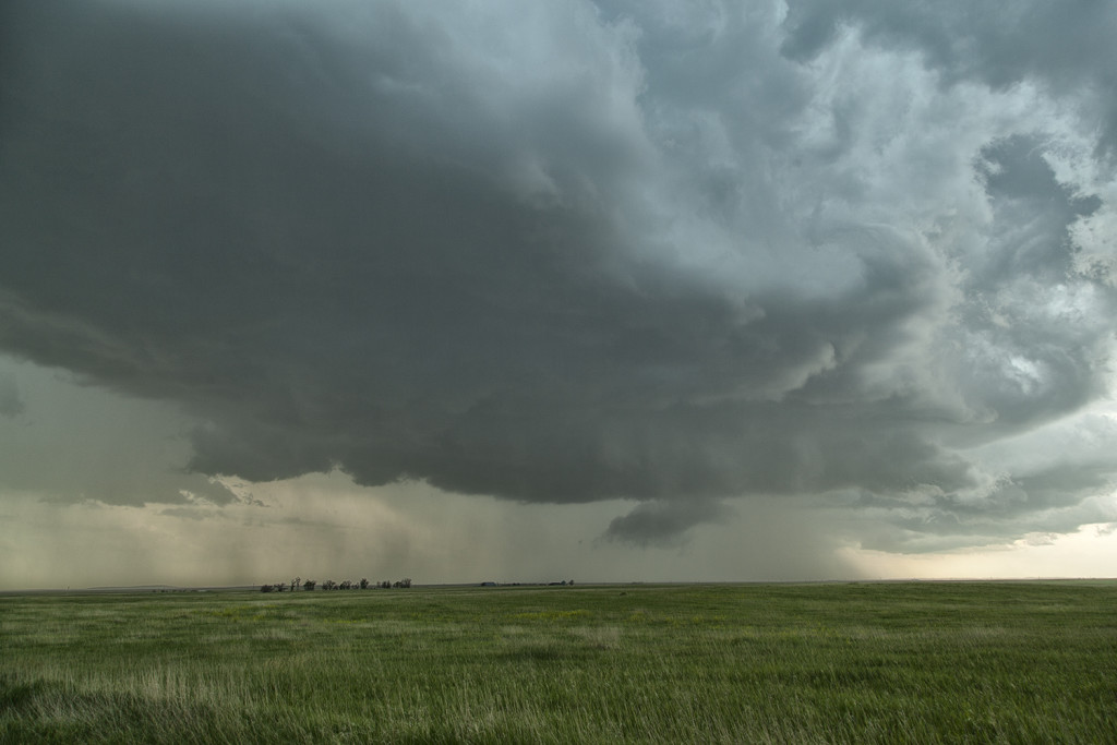
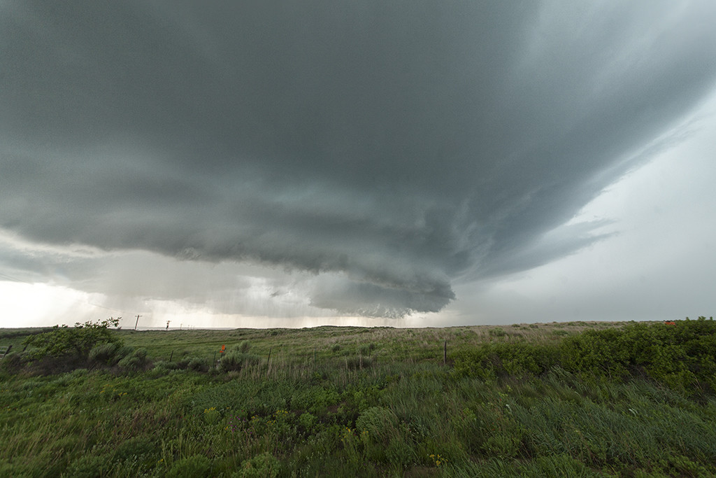
July 19th took us to southeast Colorado and southwestern Kansas. Although the set up wasn’t stellar by any means, there was enough shear, instability and moisture to support severe storms, including supercells. Mid afternoon south of Seibert, CO a supercell formed and tracked southeast. It eventually merged into a line of storms with embedded supercell structures as they marched all the way to Garden City, Kansas. Near the town of Tribune, Kansas on cell in the line spun pretty strongly and produced 80 mph winds, baseball hail and even a funnel cloud. This was a nice way to wrap up the Great North Tornado Hunt tour as the guests got to see a little bit of everything on this tour!
 

July 17th South Dakota Tornadic Supercells

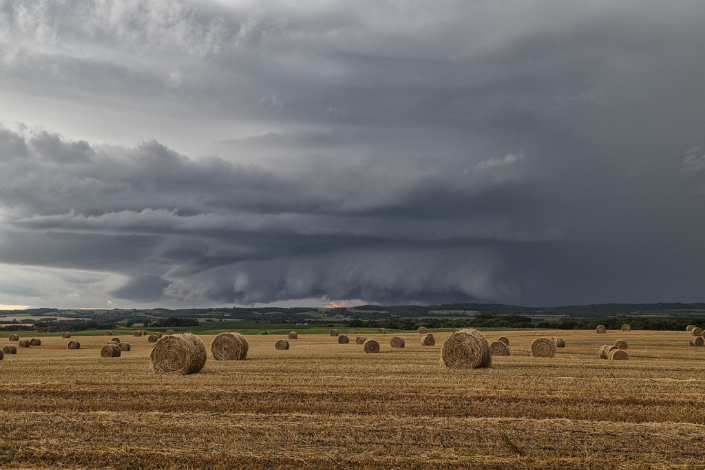
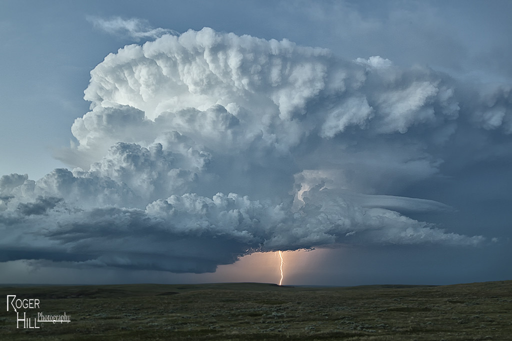
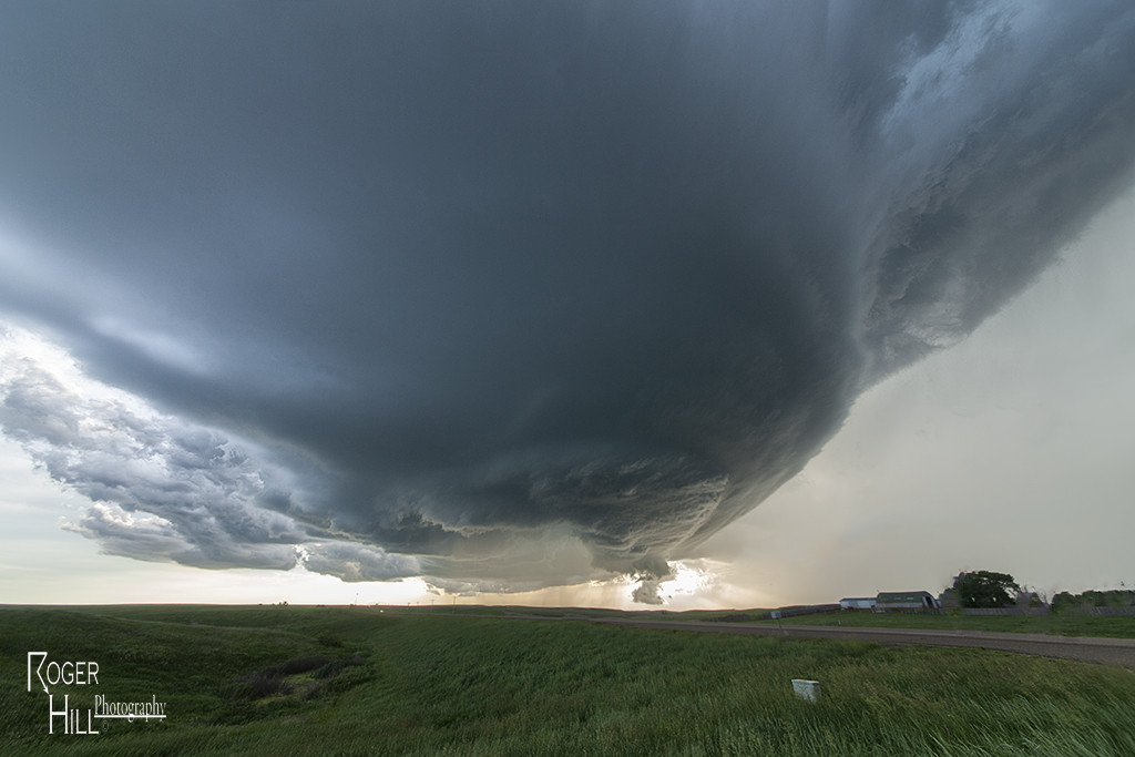
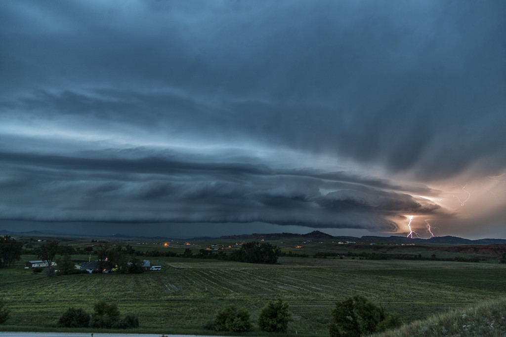
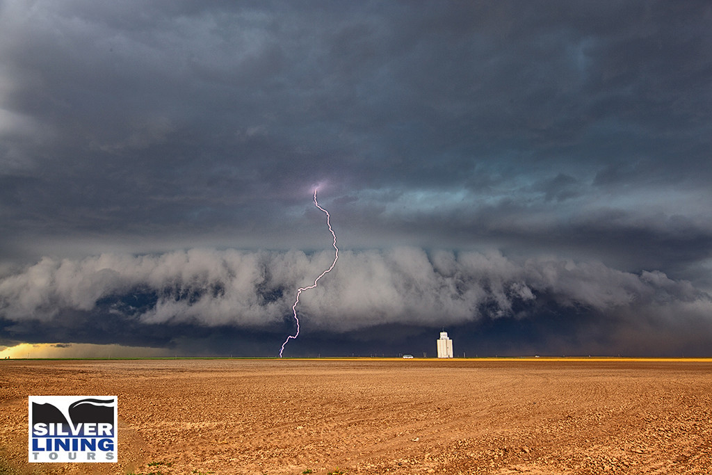
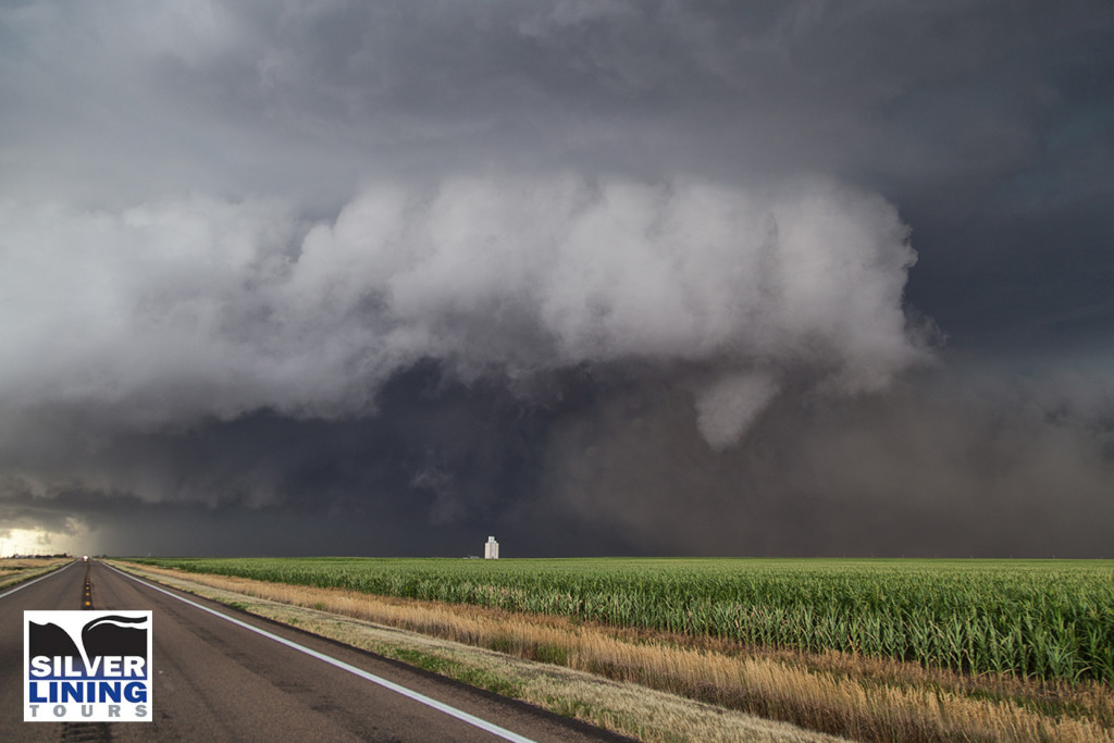
July 17th had incredible potential across the Dakotas. Our Great North Tornado Hunt tour was in place in far northeastern South Dakota awaiting initiation. A subtle short wave trough was moving across the region at peak heating, while 5000 CAPE values developed along with upper 70 dew point readings. An approaching cold front/dryline triple point would spark the first supercells, and then later the cold front would spark several more. We witnessed on such storm develop near Britton, SD which had incredible structure, huge hail to baseball size and a couple funnel clouds. Later another supercell formed near Eden, SD and dropped a tornado southeast of town. We stayed with the storms into western Minnesota where they weakened as they moved out of the strong instability. We finally dropped south towards Watertown, SD for the night as a really pretty shelf cloud approached town. A great day for the Great North tour, and it would be the first of several excellent set ups we had on this tour!

June 25th Chugwater, Wyoming Tornado

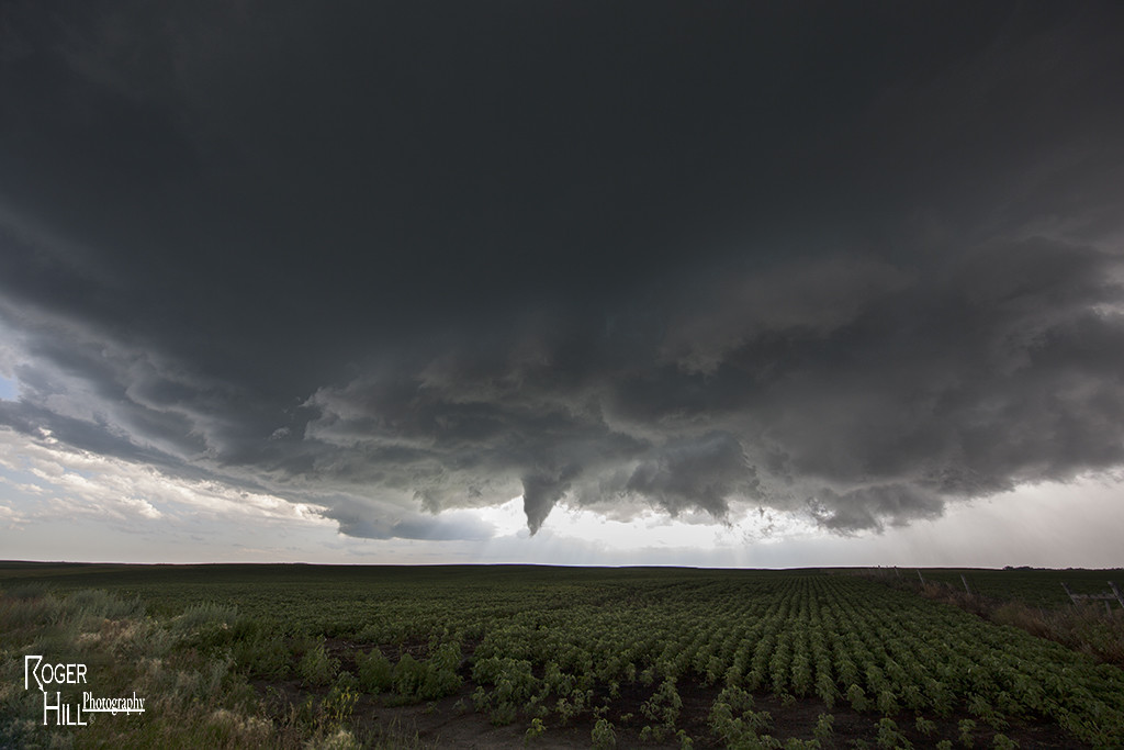
June 25th looked like a mess on paper. Lots of moisture, good CAPE, good lift, but little shear would be the story this day. We headed up towards Kimball, Nebraska for the initial convention developing, only to be taken west towards Chugwater as numerous storms formed. Splitting and left moving storms were the norm, with a few showing rotation on the northern side of the cells. As we approached Chugwater from the east, a rope tornado formed and planted itself on the ground for about 3-4 minutes.  It was something we really weren’t expecting but were pleasantly surprised to see! It was our 7th tornado on Tour 8 this year!


June 21st South Dakota Tornado Outbreak

June 21st was a day that had great potential. Very good shear, moisture and instability were in place across the high plains into the western Dakotas. An approaching shortwave trough would provide the necessary lift to spark intense supercells in southeastern Montana.  One particular supercell formed near Baker, Montana and cycled several times as it entered northwest South Dakota.  This storm would be responsible for a half dozen tornadoes we witnessed across northern South Dakota.  The first tornado occurred as the storm really ramped up near Ralph, South Dakota. It would cycle several times and keep producing tornadoes all the way to near Eagle Butte where it dissipated late evening. The structure was some of the best of the season and several tornadoes were quite photogenic! Tour 8 scored big with this gorgeous beast!

June 17th East Central Wyoming Tornado Warned Supercell

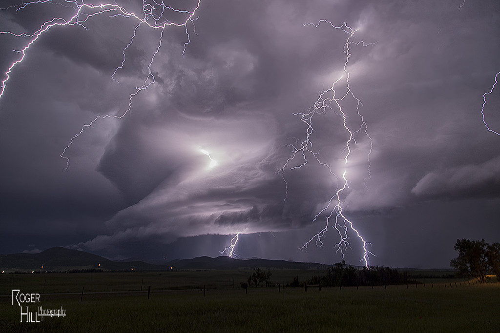
June 17th had a short wave trough moving across the northern high plains. Decent moisture and instability was in place to fuel significant storms. However a capping inversion kept storms from forming until late in the day. A storm complex moved out of Montana into eastern Wyoming, and it was this complex that developed significant rotation as a storm in front of the line became absorbed into it and caused it to rotate rapidly. A tornado warning was issued for the western Black Hills as the storm approached Beaulah and into the Spearfish area. The structure as dusk was quite nice and the lightning was amazing! One of the best lightning displays all season so far!


June 11th Southeast Colorado Supercell

June 11th had issues, but still produced some nice storms. Marginal moisture, but decent shear overlaid eastern Colorado. By mid afternoon storms formed along a boundary that stretched across east central and southeast Colorado.  One particular supercell tracked along the boundary from north of LaJunta to far southeast Colorado. It struggled to stay on the moist side of the boundary occasionally, but managed to be quite a prolific hail producer. Never a real threat to produce a tornado, it did however manage to produce several short lived funnels. By early evening a cluster of storms formed south of Lamar. A tail end storm became a powerful supercell and was tornado warned for a couple hours. Visually it was stunning with constant rotation under the updraft. Two tornado reports came in, however they were not validated.  As the supercell tracked into southwest Kansas, it became an outflow dominant storm and produced significant winds.

June 5th Eastern Colorado Tornadoes

June 5th kept us close to home. A warm front draped over east central Colorado would become the focus for intense supercell storm development by late afternoon. It provided a differential heating boundary where storms erupted on the south side of it and interacted with the strong low level shear on the boundary. We sat between Anton and Cope and watched as a strongly tornadic supercell anchored at that point and produced multiple tornadoes. All in all we counted 4 confirmed tornadoes. The storm was a tad messy, and thus photos from the day clearly show the rain/hail as we took each shot. A couple of the tornadoes appeared to be strong, but fortunately only destroyed a barn in the wide open eastern Colorado plains. Tour 5 and Photo Tour #2 enjoyed the event as both were in great position to watch the entire tornadic cycle of the supercell.

June 4th Kansas Tornado Warned Supercells

June 4th had high potential. When Tour 5 and Photo Tour #2 awoke in the morning we felt we had to get into northern Kansas. A very volatile environment was present with 70 dew points, 5000 CAPE, strong shear and lift along an outflow boundary. There ended up being a few very beautiful supercell storms form in northwest and north central Kansas by early evening. Their structure was top notch, lightning superb and hail huge. Both tours enjoyed the long opportunity to photograph, video and just watch the storms as they spun across northern and central Kansas.

June 3rd Wyoming Supercell

June 3rd was a day we felt had decent severe weather and tornado potential. High CAPE, great shear and good lift along the higher terrain of the Laramie Range we felt would result in a few tornadic supercells. Unfortunately nature had other plans. Nothing of significance formed until just before dark and even then what happened is still up for debate. The storm spun nicely, and just as darkness hit several blocks and columns of scud clouds formed under the updraft, of which some folks called tornadoes. I am a pretty firm believer there were no tornadoes from this storm, but was certainly suspicious! Still, Tour 5 and the Photo Tour #2 had a great time with it!

May 27th Canadian, Texas Tornado Outbreak

May 26th had incredible potential. An old outflow boundary over the northern Texas panhandle, along with a dryline extending through the Texas panhandle intersected the outflow boundary just northwest of Canadian.  High CAPE, strong shear and deep moisture would all combine to produce a violent supercell that anchored itself near the town of Canadian. By mid afternoon the storm exploded and produce several tornadoes, including a couple that were strong.  Two tornadoes came very close to hitting Canadian, but fortunately dissipated before entering town. One of the best events of this young 2015 chase season and one that will live in the memories of all tour guests for sure!