
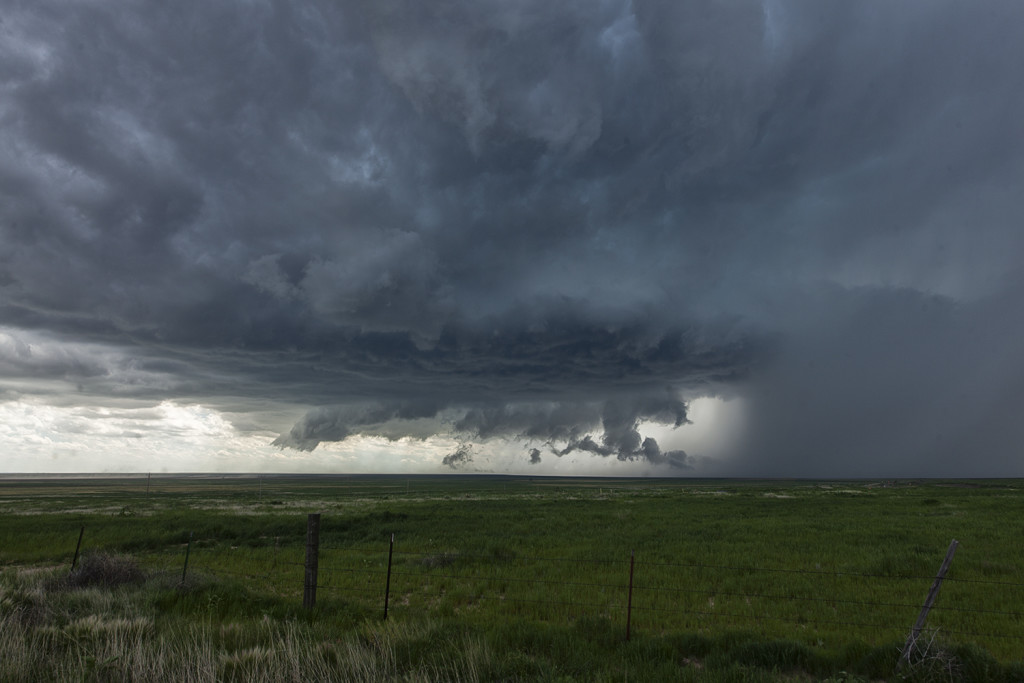
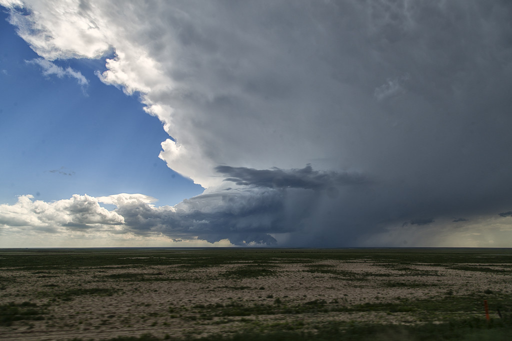
June 11th Southeast Colorado Supercell
June 11th had issues, but still produced some nice storms. Marginal moisture, but decent shear overlaid eastern Colorado. By mid afternoon storms formed along a boundary that stretched across east central and southeast Colorado. One particular supercell tracked along the boundary from north of LaJunta to far southeast Colorado. It struggled to stay on the moist side of the boundary occasionally, but managed to be quite a prolific hail producer. Never a real threat to produce a tornado, it did however manage to produce several short lived funnels. By early evening a cluster of storms formed south of Lamar. A tail end storm became a powerful supercell and was tornado warned for a couple hours. Visually it was stunning with constant rotation under the updraft. Two tornado reports came in, however they were not validated. As the supercell tracked into southwest Kansas, it became an outflow dominant storm and produced significant winds.
No comments yet.