Tag Archives | thunderstorm

June 18th Kalvesta, Kansas Tornadoes

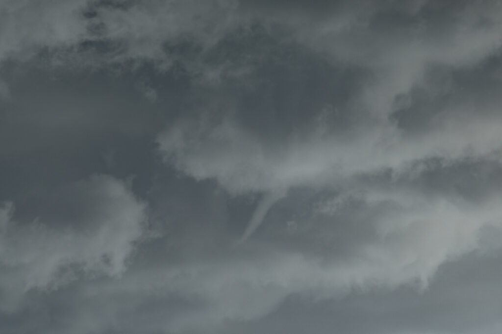
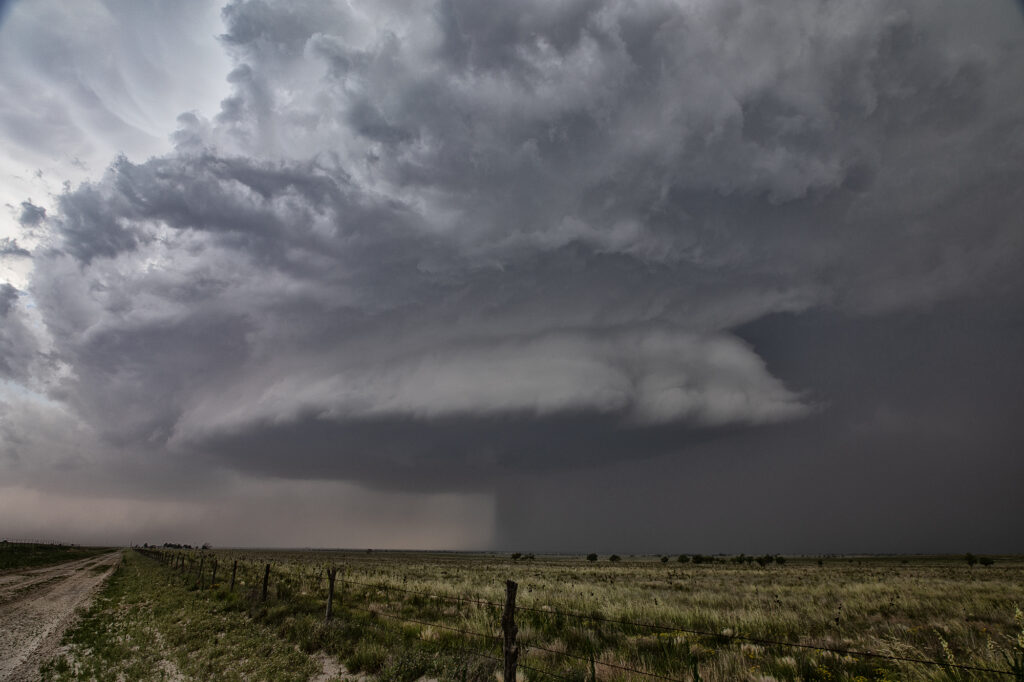
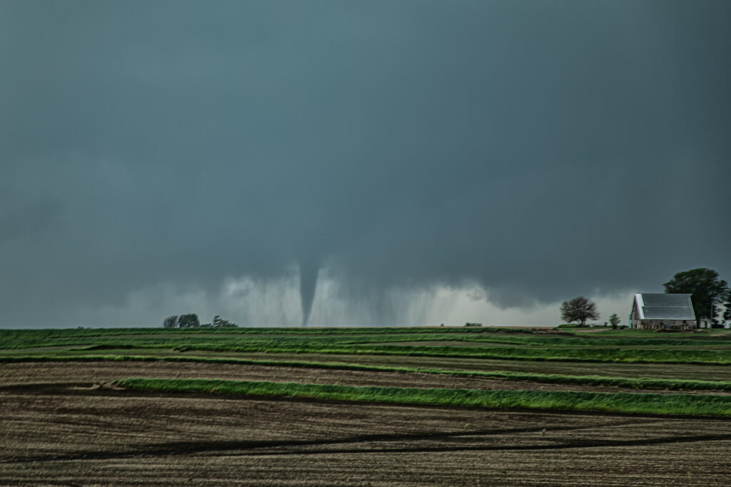
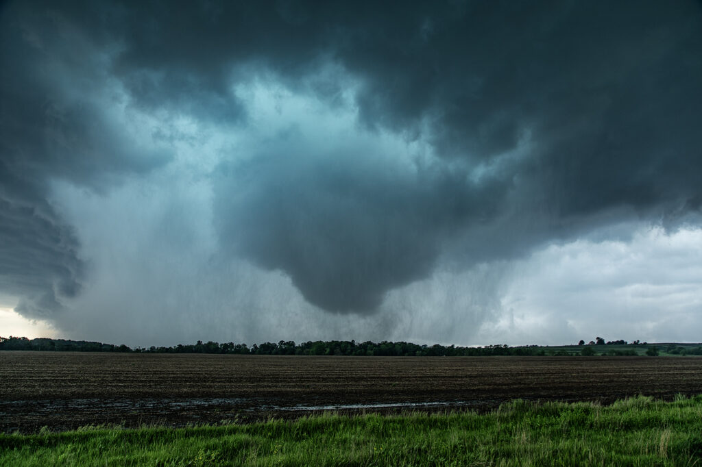
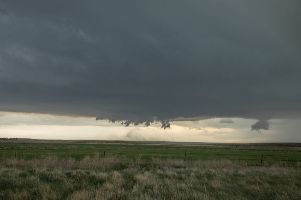
June 18th featured a stationary boundary draped across southwest Kansas. Dewpoints in the 60s and temps in the 90s, as well as the wind shift along the boundary would set the stage for not only landspout tornadoes, but also supercells forming and anchoring along the boundary. We intercepted one such storm that produced a landspout in its formation stage, followed by a legitimate supercell with a strong velocity couplet that lead to a 10 minute long tornado. The structure became quite nice and the storm was incredibly electrified! At one point a lightning strike produced a fire on wheat fields that were ready to be harvested. A very unfortunate incident for the local farmers. We then dropped south to just north of Cimarron where we encountered another strongly developing mesocyclone that produced a tapered cone funnel with a brief circulation. Many thanks to our guest, Leann Yamanaka for the pics of that funnel/circulation from beside the van! Finally, south of Liberal, Kansas a very photogenic supercell emerged from a cluster of cells at sunset and produced absolutely gorgeous mammatus clouds. Enjoy the pics!

Check out this cool video from that day!

https://youtu.be/mef65EQuBMs

June 16th McCook, Nebraska Gorgeous Supercell

June 16th brought us to southwest Nebraska near McCook. A triple point focused potential storm development in the area with extreme heat (temps over 100) along the dryline with dewpoints near 70 along the warm front. Many updrafts tried to form in the area near the triple point, with one updraft succeeding in sustaining itself at the triple point. The storm sat and spun for several hours. The structure was quite pretty and periodically the storm produced copious amounts of lightning. Although never a real threat to produce tornadoes due to higher cloud bases, a couple of wall clouds formed and one bowl spun for several minutes. The storm persisted towards sunset then slowly weakened as it drifted slowly northward. An exceptional day based on how model portrayed the set up. Enjoy the pics!

June 12th Central Minnesota Tornado Warned Supercell

June 12th featured awesome shear, but a dearth of low level moisture. Dewpoints in the 50s to low 60s wouldn’t be enough to get intense tornadic storms to form. Most storms were higher based and quickly became outflow dominant. We positioned ourselves near Wadena, MN and chased a storm that formed southwest of there straight down I-94 towards the Twin Cities. The storm spun hard, but had a tendency to be linear and quite gusty. Another cell formed along a boundary just to the east and acquired supercell characteristics. It developed a lowering that someone report a tornado from. From our vantage point, I had a hard time believing that report. Another over zealous chaser in action! We stayed with our storm and near St Cloud, it became tornado warned. At one point it had a lowering that looked like a broad funnel forming, however, that’s as far as it went. Soon the gust front hit us and we called it a day. A bit of a frustrating day in which there was some decent potential for nice supercells and even a couple of tornadoes, but to no avail.

June 7th Ansley, Nebraska Tornado Warned Supercell

June 7th featured good moisture and instability, as well as moderate shear. A boundary lay across central Nebraska and would be the focus for several supercells The storm we chose to chase formed early afternoon near Thedford, and intensified as it moved southeast. By the time it got close to Broken Bow, it was well structured, producing baseball sized hail and a possible tornado. We followed it through town and southeast as the structure truly became insane! As it approached Ansley, it became tornado warned, but did not produce I feel low level shear from cloud base down was insufficient to produce tornadoes. Nonetheless, the structure was quite nice as it moved all the way to I-80 by mid evening. Enjoy the pics!!!


May 30th West Texas Supercells

May 30th brought an interesting chase. A sharp dryline and an outflow boundary would intersect over west Texas and provide the focal point for severe weather. Storms formed at the triple point but could not sustain themselves for very long as they moved out into more stable air. We ended up dropping south from Morton, Texas to Denver City, Texas as one storm formed, hooked hard and tried to produce. In the end the only storm that produced was near Midland, Texas as it dropped two substantial tornadoes. Our storms looked good, but due to a bit higher cloud bases, they could not get a circulation down to the ground. Overall a fun day but a bit frustrating as we were so close but not close enough with our storms.

May 29th Clovis New Mexico Tornadic Supercell

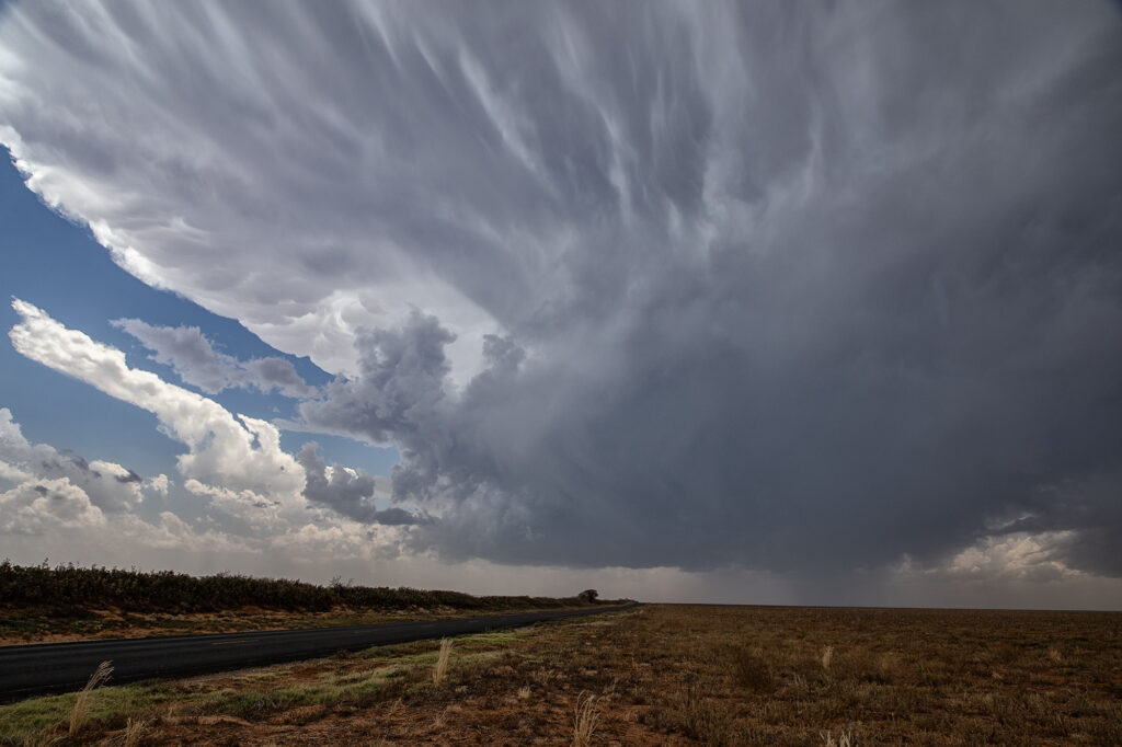
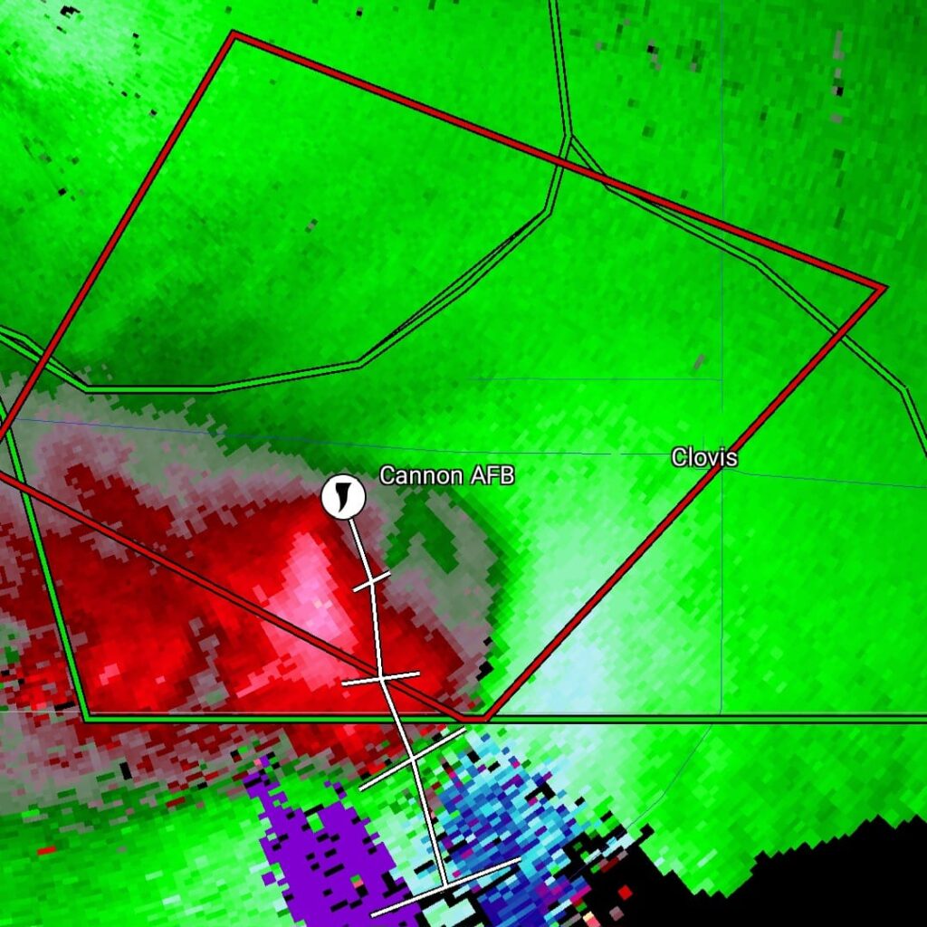
May 29th was a marginal day at best. Southeast Colorado looked like the place to be. However, with moisture pooling along a boundary in east central New Mexico, I had a hunch that would produce decent supercells late in the day and evening. The Colorado target got interesting and produced a couple tornado warned storms ( See the previous chase account for the Prime Time Minitour!!!), but I chose to wait and see what would happen in New Mexico. I was not disappointed!!!! By early evening as a short wave trough approached, storms developed northwest of Clovis. It didn’t take long to see they were anchored and would start spinning quickly. As we approached the northeast side of Clovis, a tornado warning was issued. Numerous images from various locals and also my defunked video camera showed what appeared to be a cone tornado northwest of town. The NWS in ABQ is currently validating the tornado based on images, video and local chasers in the area. We nearly had the storm to ourselves, which is quite rare in this day and age!!!! We dropped through Clovis and ended up north of Portales, NM and sat and watched the storm spin like crazy. It was constantly tornado warned. The structure was absolutely top notch, even in the dark and hook after hook formed on this anchored supercell! Finally, by late evening, things started winding down, so we drove to Amarillo to our hotel for the night. One of the BEST structured supercells of 2024, even in the dark! Please enjoy the pics and NO they are not photoshopped!!!!

May 28th Morton, Texas Supercell with HUGE hail

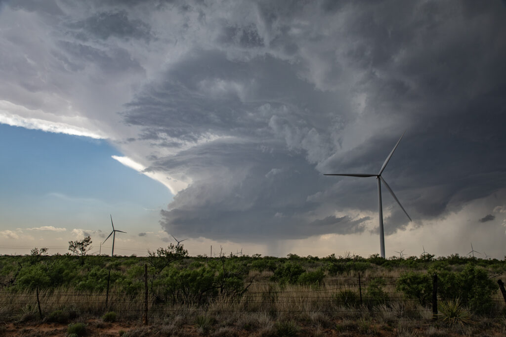
May 28th set up had a dryline in west Texas, with strong southeast winds bringing modest moisture westward. Moderate CAPE developed as well and storms formed mid afternoon along the dryline. Storms pulsed quite a bit, and due to straight hodographs, storms split and many mergers occurred. Eventually a supercell developed, anchored near Morton. Structure became better, but due to modest moisture, the cloud base was too high to produce tornadoes. As it moved east it encountered a boundary and spun nicely. After several cycles, it produced 5 inch diameter hail west of Lubbock! We blew it off as it weakened and played further south with a supercell that had softball sized hail. The tornado threat this day was quite low due to high bases, but with strong shear in place and low freezing levels, storms were prolific hail producers.

May 23rd Eldorado, Oklahoma Large Violent Tornado

May 23rd was the final day of Tour #4, the Prime Time tour. As often occurs, the final day of the tour would be quite eventful!!! A triple point boundary was present north of Childress, Texas. Good moisture and instability were present as well as increasingly favorable wind shear. Mid afternoon storms formed at the triple point. They quickly  became severe for large hail. As they moved the boundary, they weakened and died. Soon other storms formed at the same spot and also became severe. One also became tornado warned, but did not produce. Another cell formed to its southwest and eventually merged with the lead cell and also became severe and tornado warned. We stayed with it as it tracked southeast along the boundary. Just northeast of Eldorado, Oklahoma, a lowering formed in the 70 dewpoint air and started spinning. Soon a tornado formed. This tornado morphed several times from nearly a wedge, to a cone, to a multivortex and another cone before dissipating.  Quickly a spectacular barrel tornado developed and tracked slowly east. Our position was perfect with the sun lightning up the barrel and collar cloud making for a spectacular sight! Just an amazing day and thankfully the tornadoes hit no towns! Enjoy the pics!


May 21st Southwest Iowa Tornado Outbreak

May 21st was a high potential set up in Iowa. A strong dry line, with fantastic shear, high CAPE and deep moisture would create a very dangerous environment in Iowa. By early afternoon storms exploded along the dry line and intensified as they moved east. Initial storms were not tornadic, but as the afternoon progressed, low level shear increased and tornadoes occurred with many storms! Our first tornado intercept was near Red Oak, Iowa as a supercell started spinning hard. The tornado went from a slender elephant trunk to a stovepipe and persisted for several minutes. The second tornado formed southwest of Carbon. It started as a big bowl, then vortices spun up and wrapping rain curtains were rotating violently around it. With motions of 60 mph we had to get out of its way as it approached us within a mile. The next tornado is now probably the most well-known. A strong multivortex tornado formed to our south near Corning and intensified as it moved northeast. It eventually turned into a raging F3 tornado that caused significant loss of property and life in the town of Greenfield. Our heartfelt sympathies go out to those who suffered losses there. Always the downside of significant tornadoes.  Another tornado occurred to our southeast as a cell raced north towards Creston but we lost it due to storm motion and another core with huge hail causing us to have to slow down. Crazy, wild day that most will never forget.

May 20th Akron, Colorado Tornado Warned Supercell

May 20th took us to eastern Colorado for what appeared to be a decent set up on paper. High based storms formed before moisture could work its way west, however they did not last. By later in the afternoon a storm developed rapidly southwest of Akron as a cluster of cumulus deepened. The storm hit the better air and became severe. Structure improved, and soon a lowering developed with RFD dirt wrapping around it. A merry go round ensued. The developing rotation could not tighten enough to produce a tornado, but it was fun watching it try. Lightning became intense so we had to vacate our position and move east and south. Eventually the storm became quite messy and we chose to leave it since we had to be in Iowa the next day on a far better set up (see the next chase account!!!). Enjoy the pics!