Tag Archives | thunderstorm

May 1st Westway, Texas Tornado Warned Supercell

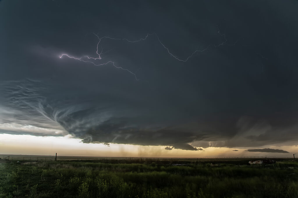
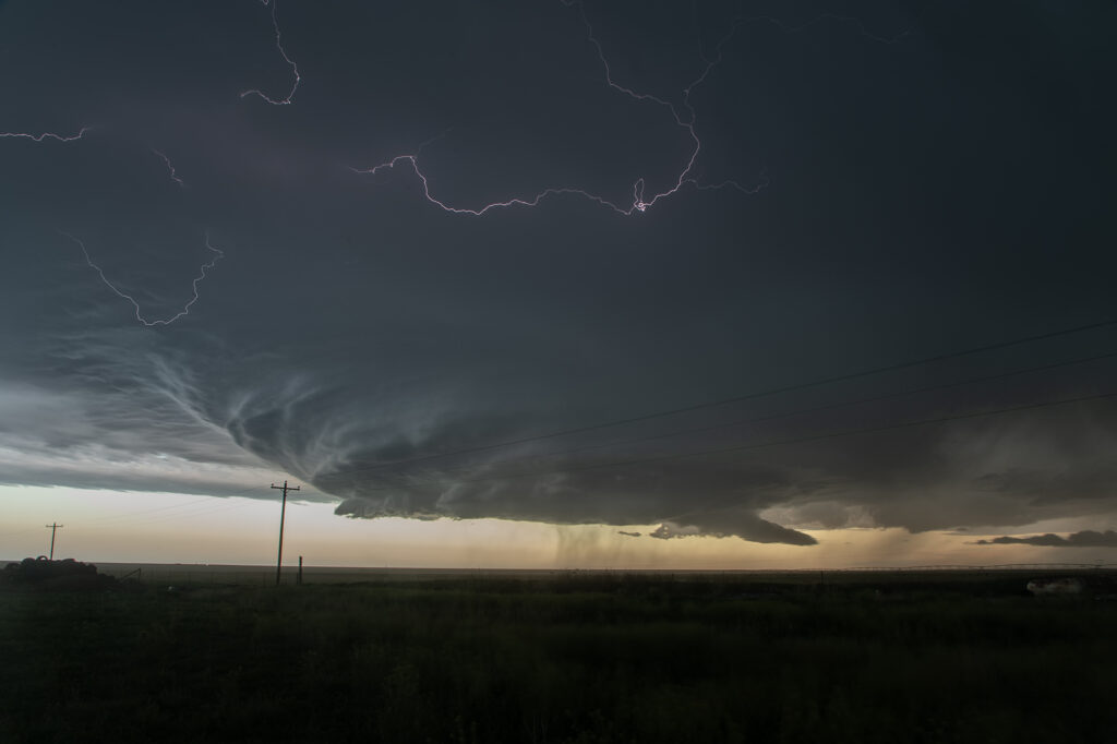
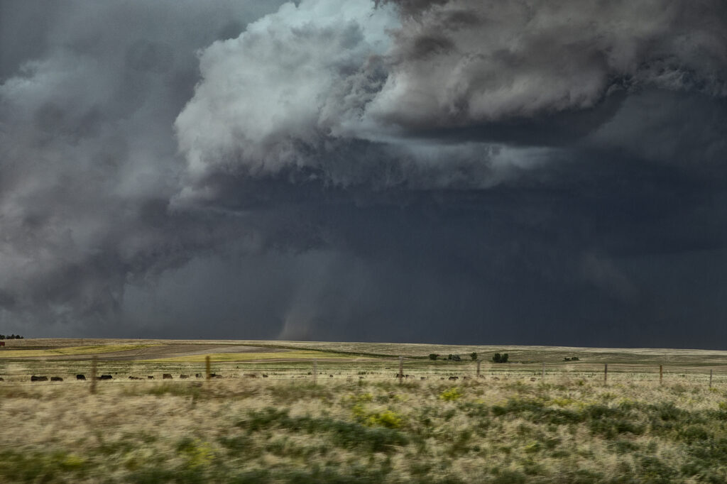
May 1st set up was far from ideal. Limited moisture was present moving into the upslope play of northeast New Mexico. Shear was great, as was lift. However, limited moisture also meant limited instability. Despite all that, severe storms formed south near Logan, NM as moved east. The tail end storm latched onto the old frontal boundary draped across the region and started spinning hard. As the storm crossed the Texas border, it became tornado warned. The structure was amazing! As it churned southeast along the boundary, it produced hail tennisball sized and had numerous lowering over time. Headin into the Hereford area, the hail became intense so we chose to push ahead and northeast of it and get out of its way. For a day that wasn’t advertised, a bit of panhandle magic certainly became the story of the day! Enjoy the pics!


April 25th Muleshoe, Texas Tornadic Supercell

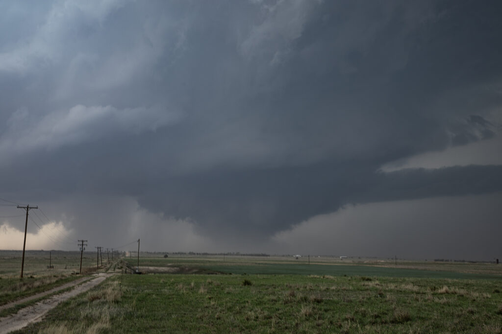
The arrival day for Tour #1 took us on an impromptu chase to west Texas. I knew it was a long way out and the we may or may not make it in time. We blasted west of Plainview just as the one decent (but short lived) tornado formed and dissipated. We arrived near Muleshoe to insane inflow winds into the supercell. Multiple wall clouds formed over the next 3 hours, but it just didn’t have that look. Areas of rotation formed, but never could tighten up enough to produce another tornado. The supercell persisted for many hours and was a prolific hail storm with stones up to 5 inches in diameter!!! Typically on arrival day, we restrict the chase within the state of Oklahoma, but this one was an exception, In the end, everyone enjoyed it, but a long way to go for what ended up transpiring, however it was tornado warned for several hours. Enjoy the pics!


April 24th, 2025 Matador, Texas Tornadic Supercell

What a day April 24th was!! There was a high threat for supercells and if one could latch on to a boundary in place it had the potential to produce tornadoes. Strong shear, great moisture for late April standards, and good instability were all present. I headed down from Woodward to the Texas Rolling Plains. When I arrived, a supercell had formed and started spinning hard not far from Silverton. As I approached it from the east at Turkey, I encountered baseball sized hail and dropped south to get out of it. I set up my camera and soon an elephant trunk shaped tornado formed. It planted firmly for about 10 minutes before dissipating.  Soon the storm started reorganizing and I dropped south to just north of Matador. It cycled and developed a wall cloud, then a bowl and then a multivortex tornado. That turned into a huge cone, then close to a wedge before becoming rain wrapped. It was on the ground for probably 25-30 minutes!! After that the storm became quite HP and, having to be back in Oklahoma City that night, I left it and proceeded back to our base city. An amazing day, structure, 2 tornadoes, huge hail and lightning. Enjoy the pics!

April 23rd, 2025 Southwest Kansas Tornado Warned Supercells

April 23rd took me to southwest Kansas. A surface low and triple point was southeast of Goodland. Models showed supercells developing on the dryline and interacting with the warm front as they moved northeast and were forecast to spin hard there. That’s exactly what happened. I intercepted one supercell near Healy, Kansas that attached itself to the warm front in an environment of high theta-e air and it became tornado warned. I had to drive through copious amounts of golfball sized hail to get to the hook and what a beauty it was!! Low bowl shaped wall cloud with rain/hail wrapping around it as it spun HARD. It tried to cone up a couple times but couldn’t maintain it’s tight rotation to get a tornado down. Eventually it moved into colder air north of the warm front and weakened. I dropped south to catch another developing supercell west of Kalvesta, Kansas. a massive bowl shaped lowering was spinning hard. It produced a tapered funnel halfway to the ground, but never did contact it. Structure was nice with that classic backward “C” shape to the RFD eroded updraft. It also crossed into colder air and weakened. By then it was almost dark and time to head to the hotel for the night. Fun day and enjoy the pics!

April 19, 2025 Mertzon, Texas Tornado

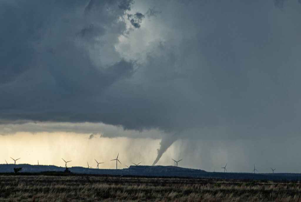
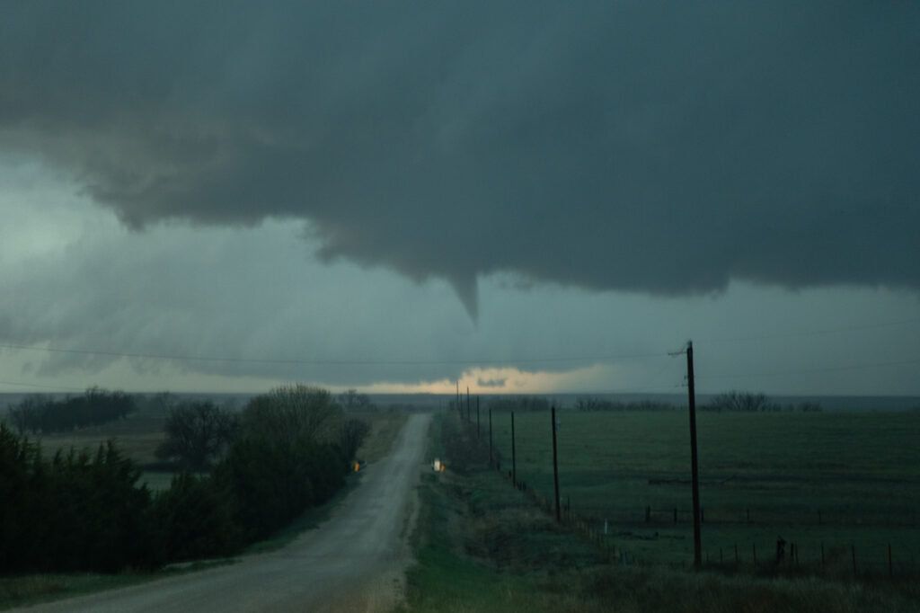
April 19th was a long drive. Up at 4am to hit the road, we blasted nearly 700 miles, only to miss the best tornado of the day by 20 minutes. Talk about frustration! Models/NWS/SPC stated the tornado threat wouldn’t ramp up until after 6pm when the low level jet kicked in. All were wrong! Before 4pm a supercell hit the boundary and became tornadic. By the time we arrived, that storm had weakened so we targeted another supercell west/northwest of San Angelo. It also became briefly tornadic as the main meso wrapped up and dropped a cone funnel to the ground! It was only down a couple of minutes before lifting back up. A long drive, but we at least were able to capture a tornado!

Late July/August Desert Thunder Tours

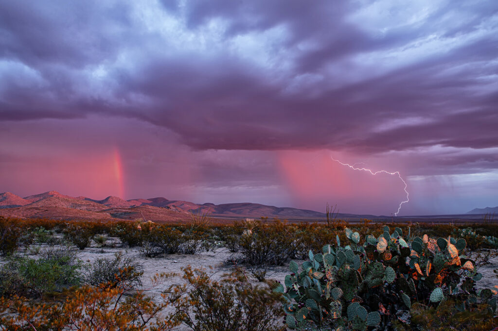
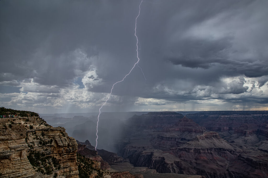
Every year we run our lightning tours. This year was an AMAZING period in Arizona while we were there! Of the 15 days we chased there, we had storms, often severe, on 14 of those days. From incredible lightning west of Tucson to phenomenal lighting over the Grand Canyon, this year’s images are some of my favorites! There are many features in Arizona that are incredibly beautiful when a storm, lighting and rainbows are present. The saguaro cactus and other cactus varieties are amazing to photograph. Red rock canyons abound, and storms form usually over the higher terrain before thunderstorm outflows push onto the desert floors and generate more storms due to lifting warm and moist air upward. We hope you enjoy these images as much as we did witnessing them firsthand! You can join us too on these incredible adventures. Word or caution, these tours sell out FAST! Enjoy!


June 27th Amidon, North Dakota Tornado Warned Supercell

June 27th had a lot going for it. An approaching shortwave trough, an outflow boundary along with a dryline, as well as decent moisture with dewpoints in the 60s and moderate CAPE around 2500 j/kg would set the stage for severe weather in Montana, North Dakota and South Dakota. We originally targeted the area around Buffalo, South Dakota, but as moisture mixed out, we knew we’d have to venture a bit further north into southwest North Dakota. A supercell formed near Beach and became tornado warned. An hour later another supercell formed northwest of Amidon and also became tornado warned. We pushed north to get in position to watch it and as we did a couple of weak funnels formed under it and were reported to the NWS. The storm was anchored along a boundary and slowly back built. Numerous times there were rotating lowerings under the southwest portion of the updraft, as golfball sized hail fell from the vault region. Eventually the cell turned southeast and moved off the boundary. However, it moved into more stable air and slowly weakened but not before becoming tornado warned one last time! We stayed with it over beautiful canola fields and stopped for some photography. A fun day, and some amazing scenery!!!

June 25th Whitman, Nebraska Incredible Supercell and Strong Tornado

June 25th had a lot going for it. Dewpoints in the 70s, an old outflow boundary, high CAPE and convergence would get storms exploding in the afternoon hours. We targeted a pair of severe storms west of O’Neill, NE and watched them intensify and move south. However the western most storm quickly died when it moved over the boundary and the second one also met the same fate. Meanwhile towards Norfolk a supercell became tornado warned and produced a brief tornado. I always watch trends in surface observations and satellite and noticed the boundary sharpening up and angling towards the northwest to the west of us. Moisture was rapidly increasing with dewpoints in Thedford, NE rising from the low 60s into the low 70s with strong easterly winds. Soon, a storm formed along the boundary northwest of Mullin and anchored for awhile. It steadily intensified as we blasted west. By the time we got to Thedford, the storm was strongly severe and we could see an impressive mammatus field under the anvil. As we continued westward to get a better view, the storm formed a strong couplet and a hook. Structure was starting to become visible as we approached Mullin. We continued west and soon were greeted with a magnificent sculpted supercell and a rapidly growing tornado! The tornado grew to an impressive cone, then wedge as it moved south towards the small town of Whitman. We stopped about 3 miles from it as it was getting ready to cross the road and continue southward where we had no south roads! Frustrating! The sight of both the supercell with large tornado under was the best I’d seen in 2024!! Just an amazing scene! We had to back track to Mullen and drop south so we could catch up to the supercell again. We would not see the updraft again in the daylight. As it approached North Platte, it weakened and eventually died. An absolute phenomenal day! Unfortunately the tornado hit a couple of houses near Whitman and caused significant damage and 1 injury. I shudder to think what could have happened if it hit the town directly!

Check out our Youtube video from the even here:

https://youtu.be/Zx9_R1aMxQ0

June 23rd Neptune, Saskatchewan Tornado Warned Supercell

June 23rd was the first day of Photo Tour #2. Models showed a triple point low over southern Saskatchewan, with a cold front/dry line extending south into northern Montana. We had a LONG was to go starting from Denver, with close to a 10-12 hour drive! So, we departed at sunrise and blasted north. We arrived in Wolf Point, Montana late afternoon as cumulus towers formed west toward Glasgow. Storms were already severe and tornado warned in Canada, with Environment Canada issuing a PDS (Particularly Dangerous Situation) tornado watch for parts of Saskatchewan. Knowing we still would have another 2-3 hour drive to make it up there, we decided to see what the Montana developing storms would do. SPC issued an MD for Montana talking about a couple supercells forming. We hedged our bets for Montana. Soon it became clear that was the wrong choice as storms formed as left moving supercells, so we crossed the border into Saskatchewan north of Plentywood, MT and blasted north towards the tornado warned supercell. We got within about 10 miles of it as the sun was setting so we stopped for photography. Structure was gorgeous and so were the pale blue and orange colors of the storms! We stayed with it the best we could and at one point a very dark, large “v” shaped lowering occurred although we could not tell whether it was a wall cloud or broad cone shaped funnel due to the distance we were from the storm. Having to get back to our border crossing, which closed at midnight, we waved goodbye and back tracked to get back into the US. A 1060 mile day that resulted in a stunning supercell near Neptune, Saskatchewan was well worth the drive! Enjoy the pics!

June 20th Hawk Springs, Wyoming Tornado

June 20th took us to the high plains to play the Chugwater Convergence Zone. Moisture was less than optimal, but shear and lift along the boundary would be sufficient to generate severe thunderstorms, including a couple of supercells. We arrived west of Scottsbluff, NE to find a storm already mature and severe. As it moved east towards Hawk Spring, a slender tornado formed and was on the ground for several minutes. We turned east of town on a dirt road only to get blasted by 80mph plus winds from the rear flank of the supercell. By the time we could work southeast and then north to get back in front of it, the storm was now a line of severe thunderstorms.  Soon, as they became outflow dominant, we left them and called it a night. Fun day and a surprise tornado is always welcomed! Enjoy the pics!