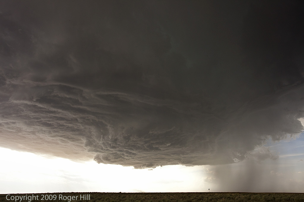
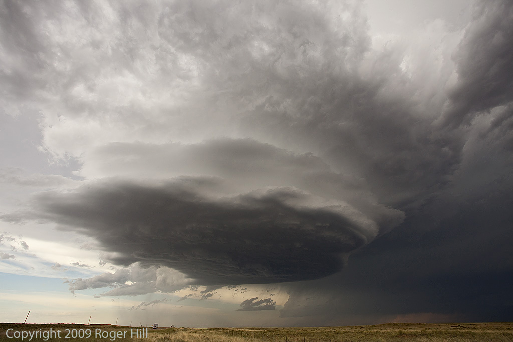
May 9th set up looked decent with good shear, decent moisture, instability, and a dryline for convergence and initiation. Mid afternoon a supercell formed near Abilene, which became tornado warned. Quickly 2 other supercells formed to the south of the first, with a very intense cell near Ballinger and the tail end storm between Eden and Menard. The tail end storm became very powerful and produced copious amounts of hail baseball sized and was tornado warned for hours (although, it did not produce).
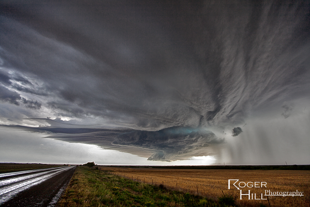
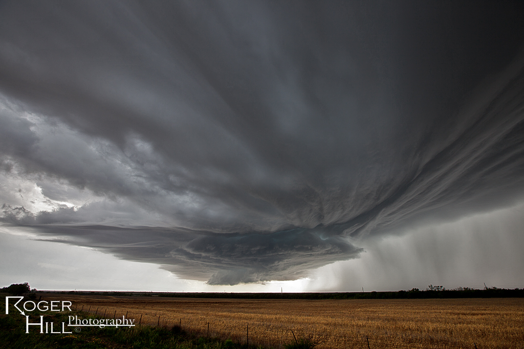
March 18th Crowell, TX Tornado Warned Supercell
March 18th wasn’t a very clear day to me. We knew we had to hit the dryline in northwest Texas/southwest Oklahoma. The first cell of the day developed southwest of Childress and quickly became severe. As we approached it, the base was insanely high. It weakened as it crossed into southwest Oklahoma, where later that evening, it would spawn at least 3 tornadoes. We weren’t there. Instead we dropped south to the tail end storm, now southwest of Crowell, TX. This cell had great structure, produced baseball sized hail, a couple of funnels and tried very hard to produce a legit tornado. It just couldn’t do it. It later shriveled up into a photogenic LP supercell. Analysis showed that the 850 MB winds were weak during its lifetime, and then increased significantly by early evening when it died, and the original high based storm lowered and interacted with the increasing low level shear and produced its tornadoes. If I had to do it all over again, we still would have chosen the storm we did.
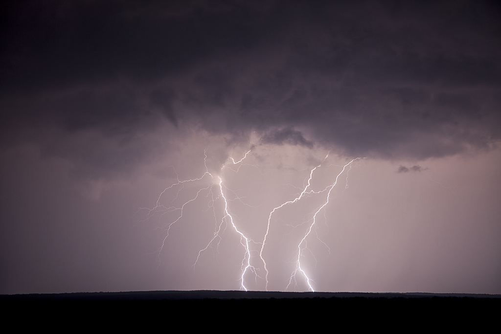
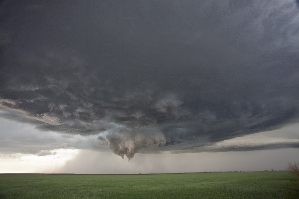
April 26, 2011 Ben Wheeler, TX Tornadoes
A bit of a frustrating day today for us as there were so many cells to choose from. We targeted the initial supercell that formed near Hillsboro, TX (again) and followed it until it finally produced tornadoes near Ben Wheeler in Van Zandt county Texas. The storm just couldn’t focus rotation in one spot for long before occluding and the meso jumping ahead. Finally, just west and then north of Ben Wheeler, it produced two truncated slender tornadoes, followed by a 5 minute multivortex which caused damage to roofs, trees and power lines. Below are only a couple photographs and two video stills. Check out the Youtube video of the multivortex tornado.
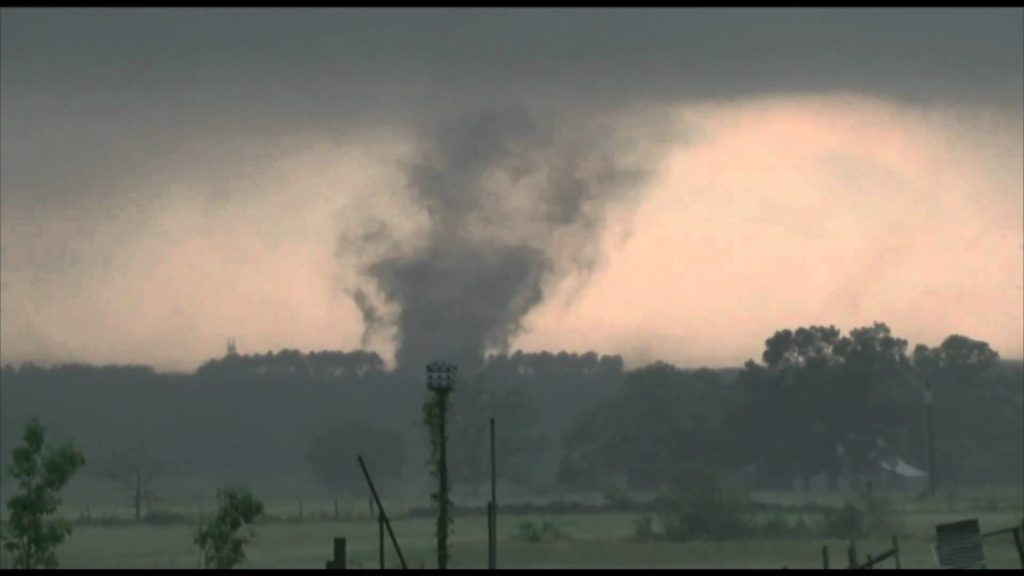
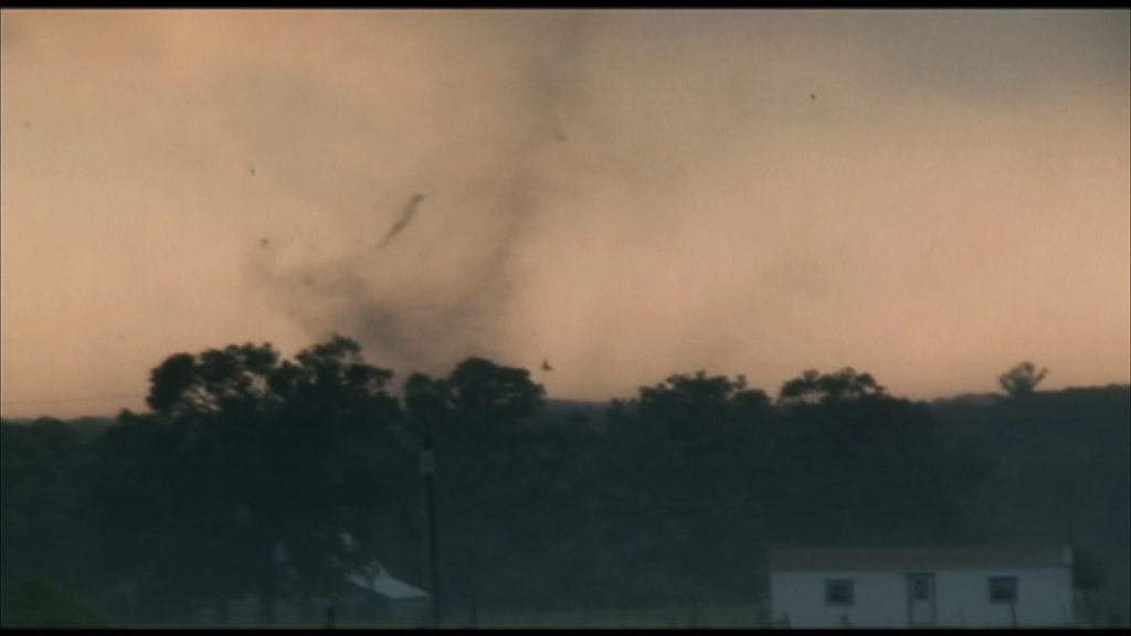
April 25, 2011 Hillsboro, TX Tornadic Supercell
April 25th took me to Texas. Early day indications looked like northeast Texas would be a sweet spot. We headed early to Paris only to be disappointed by early afternoon convection that was slightly elevated. Meanwhile a tornadic supercell developed southwest of Ft Worth and produced at least 2-3 tornadoes before we could recover and make the 130 mile trek. We did catch up to it near Itasca, TX and encountered a pretty structured supercell that produced two brief tornadoes between Itasca and Hillsboro. Nothing worse than being 130 miles from a nice supercell and hearing about the tornadoes that occurred before you have a chance to reach it!
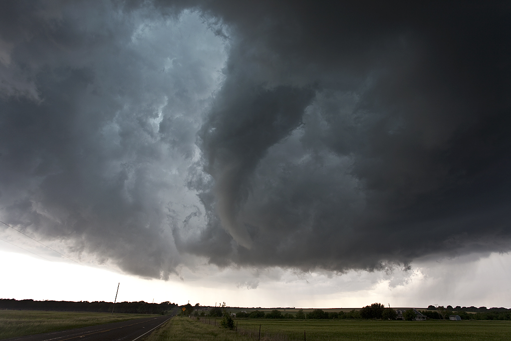
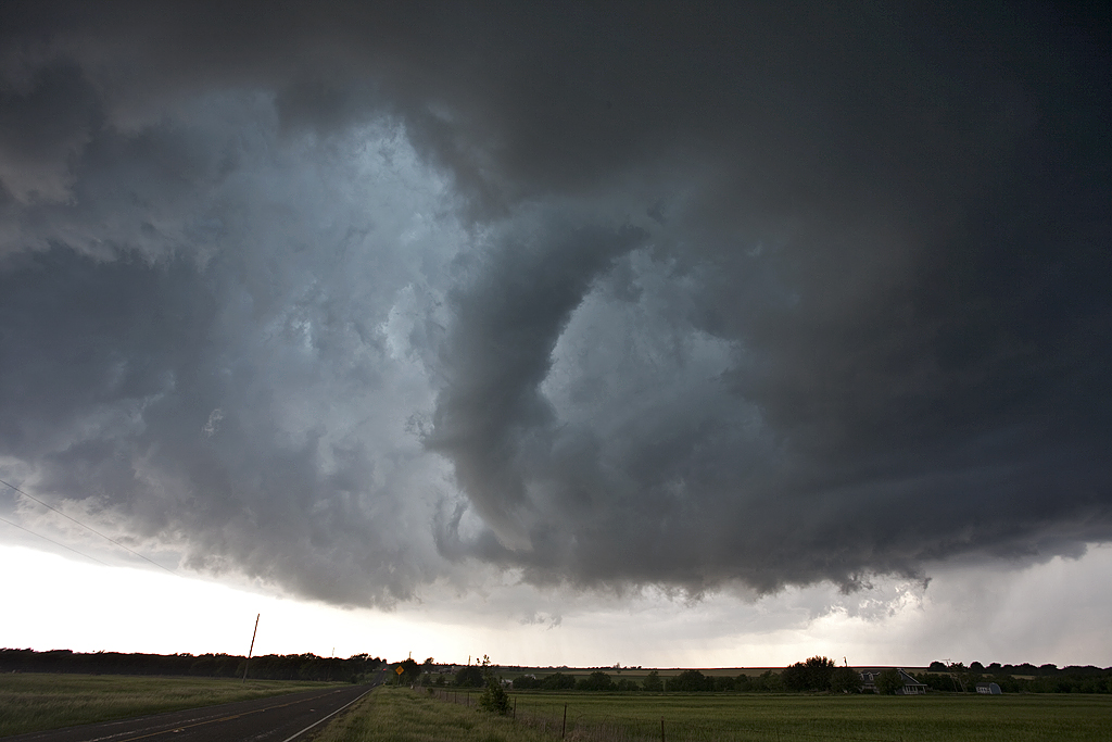
April 21, 2011 Hawley, TX Supercell and Tornado
A surprise for me this day as I didn’t expect much. By late afternoon a storm formed at the triple point near Sweetwater, TX. This storm quickly anchored and spun like crazy! Some of the most amazing inflow bands I have ever seen developed and made for spectacular photography! To my surprise, just after dark, the storm produced an 8 minute long elephant trunk tornado just west of Hawley. Pardon the blurriness from the tornado shots, as a high ISO and 15 second plus exposure made the photo blurry due to storm and tornado motion. All in all, an extremely satisfying day and witnessing the only tornado in the US!
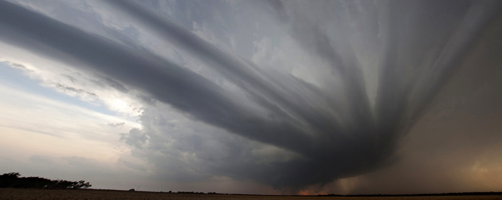
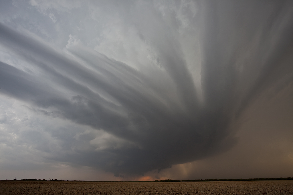
March 19, 2011 Texas Panhandle Tornado Warned Supercell
Mid March took me to the Texas panhandle for what looked to be a slightly marginal day. The long drive to Lubbock paid off in the end with a beautiful mothership supercell, that became tornado warned. It produced a brief funnel or two, along with golf ball sized hail. A second supercell at dark passed over north Lubbock and eventually produced a lot of photogenic lightning.
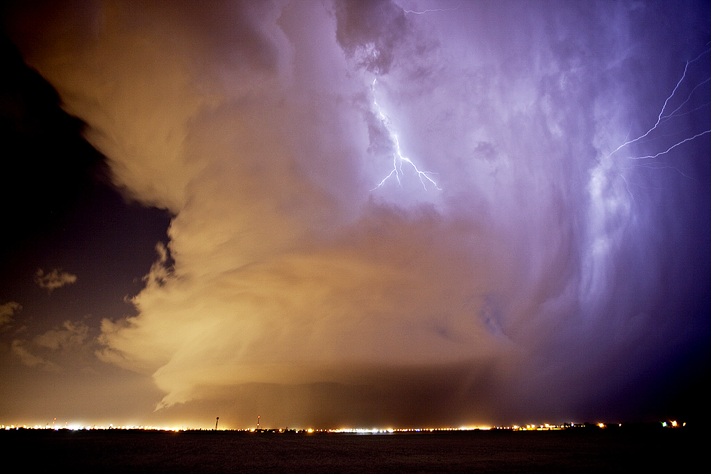
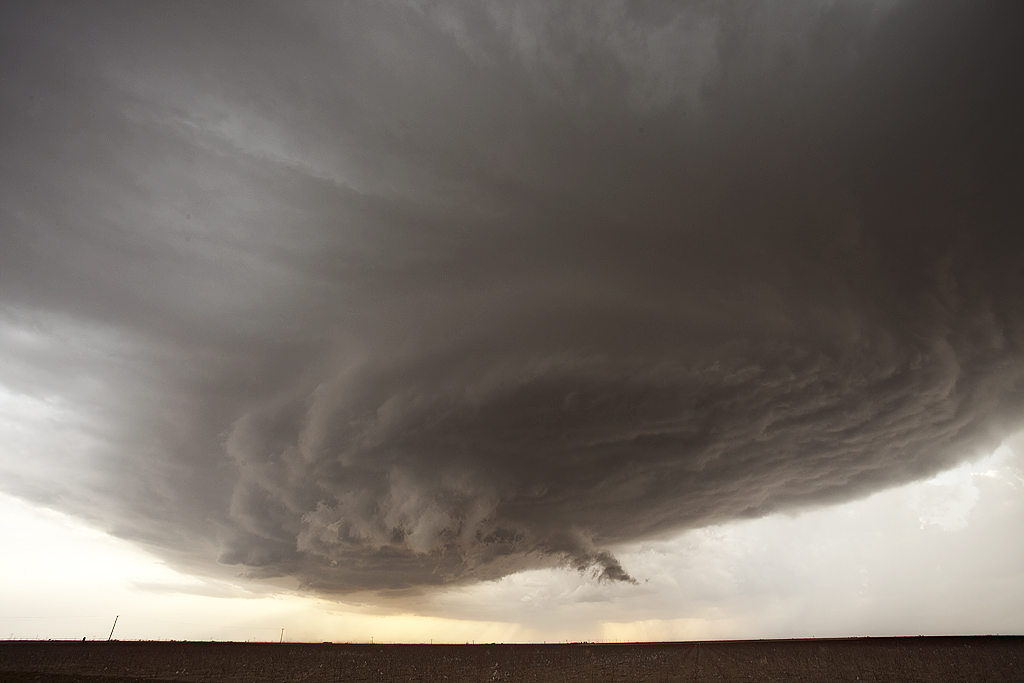
May 18, 2010 Texas Panhandle Supercell and Tornadoes
The setup May 18th was one of a weak boundary in the Texas panhandle, with good moisture and instability filtering in as the day went on. A strong shortwave trough was forecast to arrive during late afternoon, providing increased lift and ascent for storm development. A supercell formed by late afternoon southwest of Dalhart, and tracked/developed southeast towards Dumas. This storm was a classic cyclic tornadic supercell, and also produced copious amounts of significant hail. A very audible hail roar was quite easily heard as the storm spun and moved east of Dumas. We intercepted 4 tornadoes from the supercell. It tried several times to produce significant low level rotation, and at one point east of Dumas, I thought we would get a large tornado. It couldn’t stay focused long enough for that to happen. Finally, as it approached Stinnett, it produced a nice stovepipe tornado.
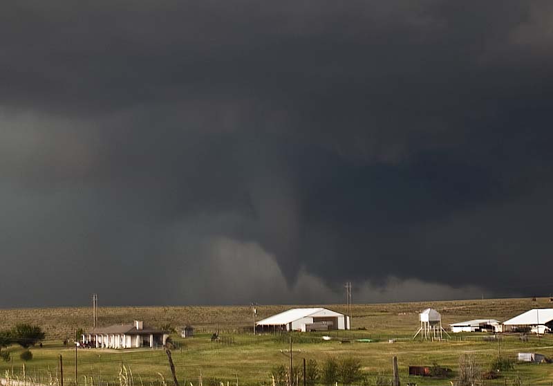
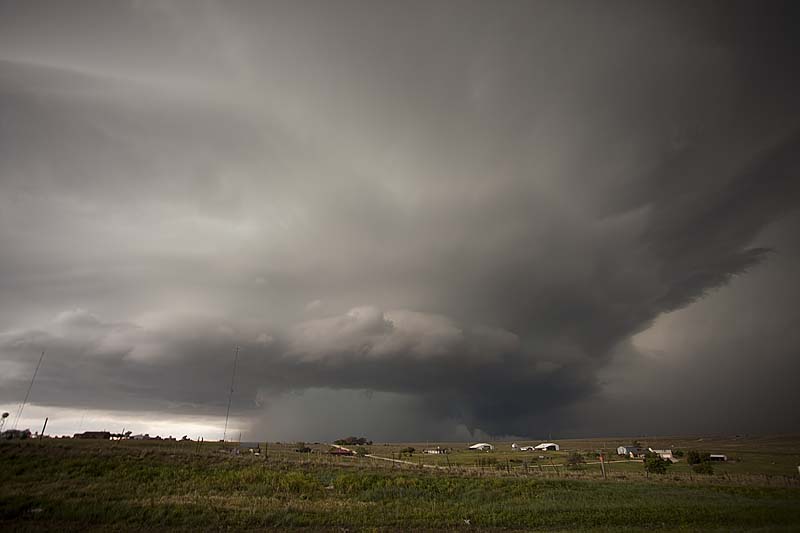
May 14, 2010 No Trees, Texas Tornado and Supercell
Had an interesting day this day as we targeted a boundary in southwest Texas from Odessa towards Carlsbad. By the time we arrived early afternoon, storms were already firing. A couple became quickly tornadic as they encountered the boundary. We were 5 minutes late to witness a nice cone as we got stuck in the core behind some semis. We did witness a brief tornado near No Trees, Texas, as well as an oil tank explosion from a CG strike. The storm became very electrified and had beautiful structure and colors.
Here is a Youtube video from this day:
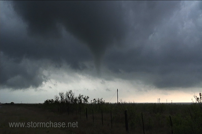
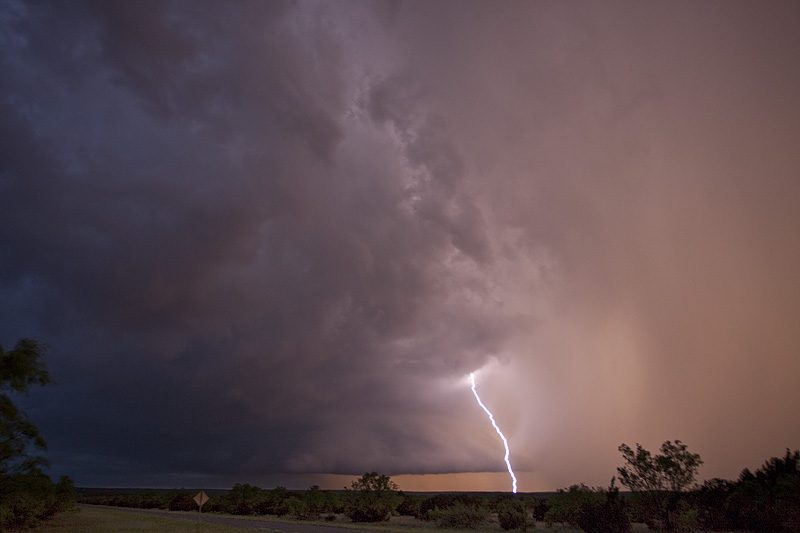
April 22, 2010 Texas Panhandle Tornadoes
April 22nd was a day that had high hopes. A very deep trough moving in the southwestern states created strong southwest flow aloft with good diffluence. A dryline set up over the central Texas panhandle. By late afternoon storms exploded along the dryline just south of Clarendon, Texas and moved north. As they approached the interstate 40 corridor, they produced several tornadoes. I broke the 2010 season in with a bang, catching 5 tornadoes from two supercells.
July 18, 2009 Texas Panhandle Nicely Structured Supercell
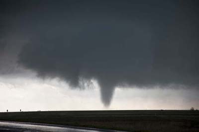
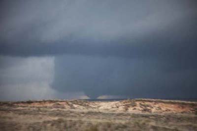
July 18th was another day of good northwest flow, albeit the moisture and instability were a bit less than the 17th. We captured a beautiful LP/low end Classic supercell in the Texas panhandle north of Dalhart and stayed with it till it died south of I-40 in eastern New Mexico. Crazy chasing down here in July when you should be up north! But, this was a beautiful storm that also produced TONS of hail. Check out the time lapse and hail video below.