Tag Archives | Texas

May 5th Luther, Texas Tornado

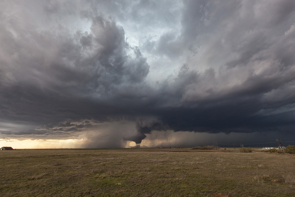
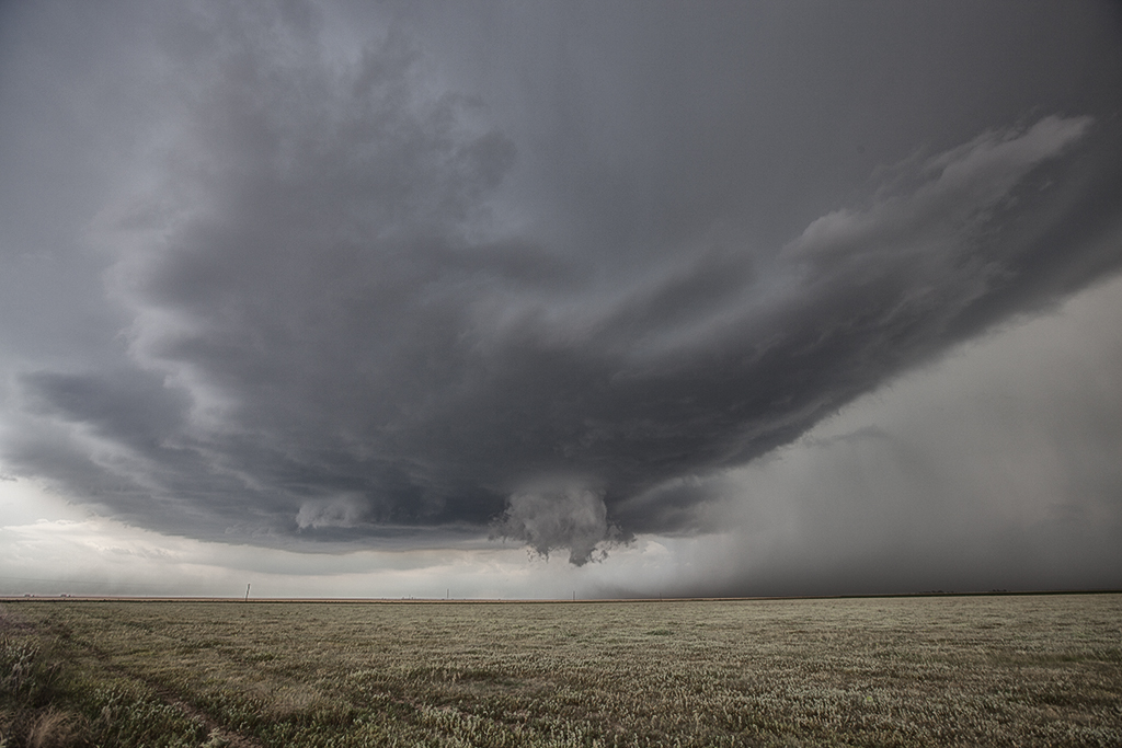
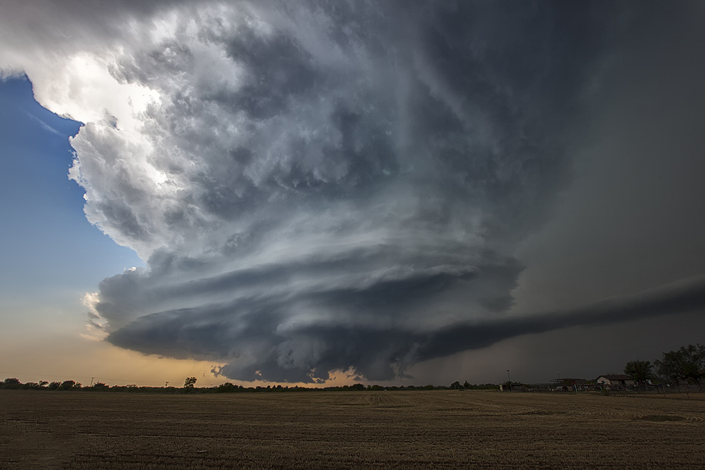
Tour 2 got a special treat this day. We spent the night in Big Spring, Texas and waited for the skies to clear behind a large complex of storms. It did by noon, and the outflow boundary/dryline triple point starting developing cumulus towers by early afternoon and an amazing supercell formed and produced a gorgeous tornado! It was on the ground for nearly 20 minutes while churning across the countryside.
 

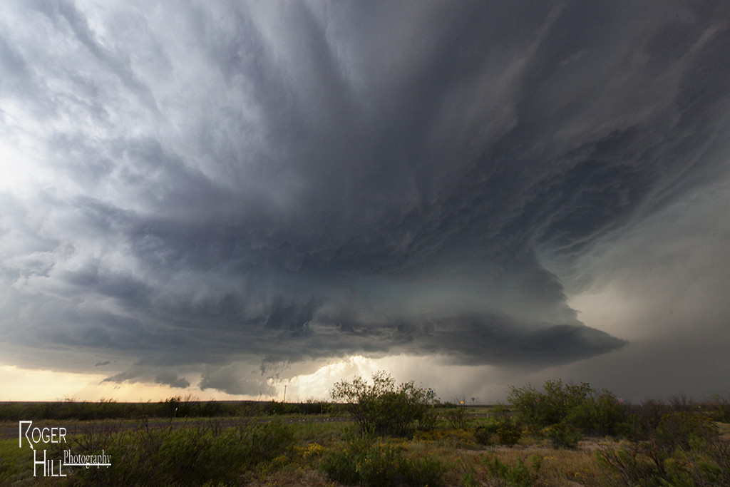
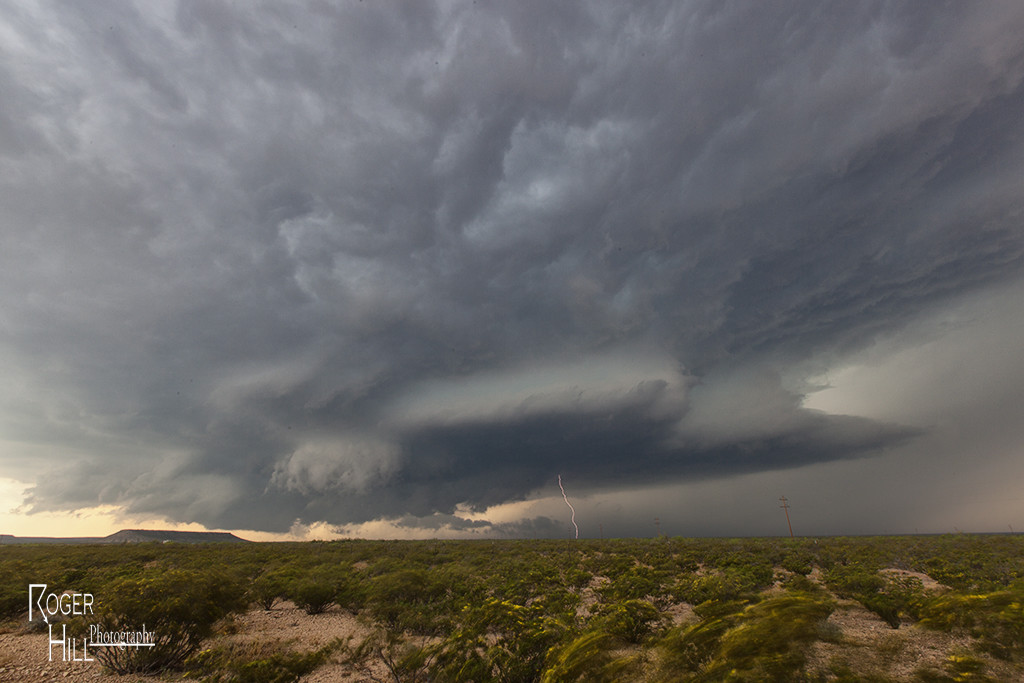
May 4th Southwest Texas Tornado Warned Supercell

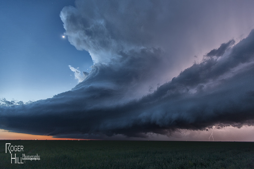
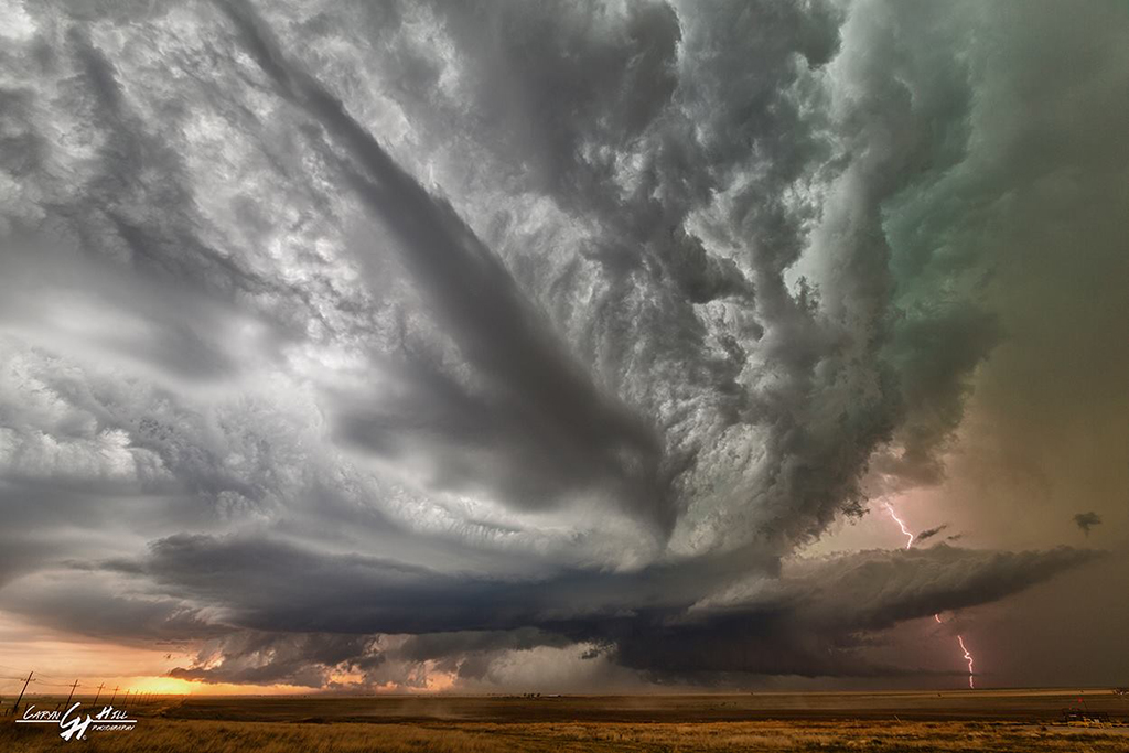
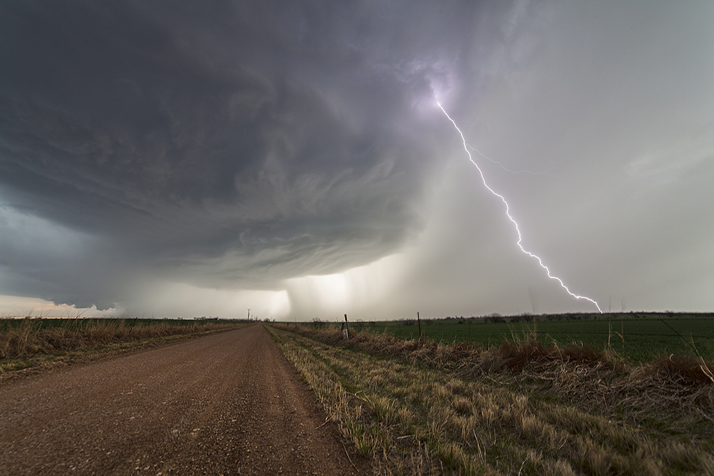
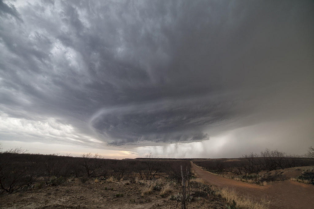
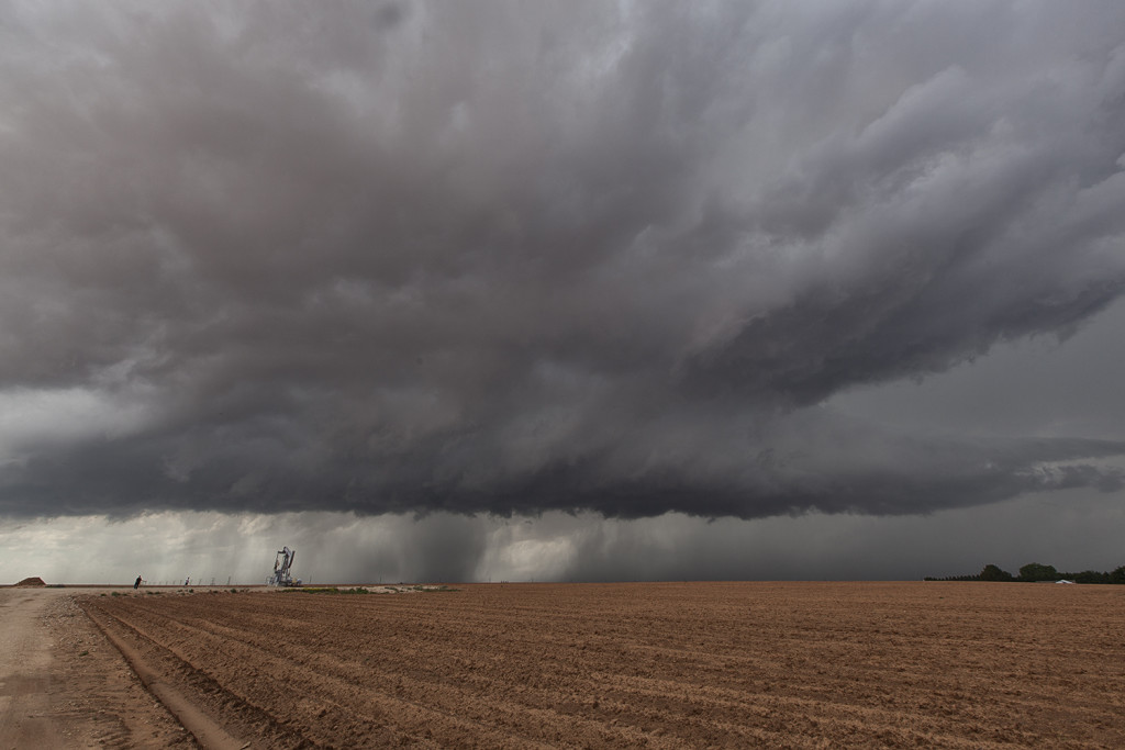
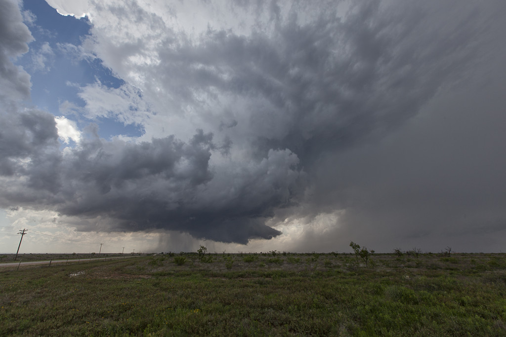
May 4th took Tour 2 down to far southwest Texas. Upslope flow into the Davis mountains would produce several supercells, with one particular storm riding southeast from the mountains and becoming tornado warned for hours. It exhibited good rotation, had decent structure, great lightning and huge hail, but just couldn’t focus long enough for tornado production. Still, it was a great storm for the Caprock Magic tour guests!


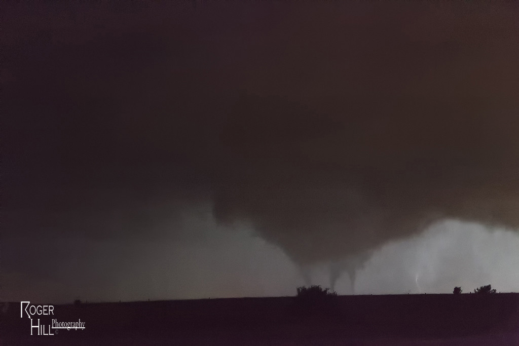
April 26th Central Texas Incredible Supercell and Multiple Tornadoes

Day Five of the Close Encounters Tour produced the best event of this young season so far! A triple point supercell formed southeast of Abilene, Texas, and moved along the warm front producing a couple tornadoes, amazing structure and grapefruit sized hail. A second supercell evolved near Dublin, Texas and became the tornadic beast of the day traveling along the warm front as well, all the way to south of Dallas by midnight. We witnessed several tornadoes from this storm, amazing structure and inflow winds over 60 mph! Crazy, wild night for us!


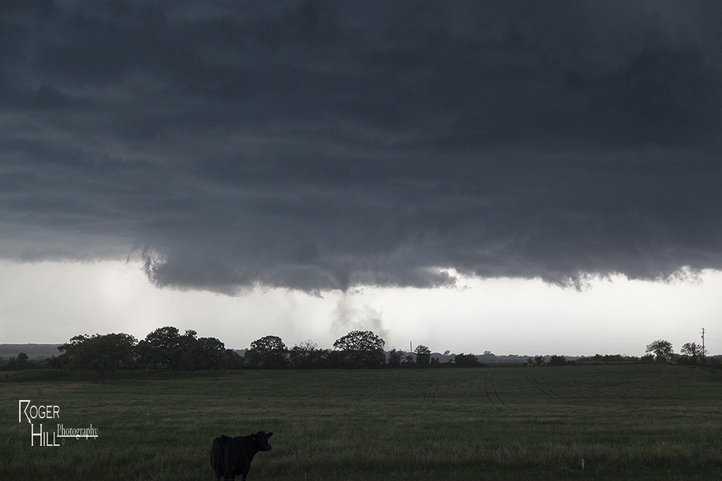
April 22nd Texas Panhandle Supercells and Tornado

Day One of the Close Encounters tour didn’t disappoint! A triple point southwest of Amarillo would foster the first significant tornado warned supercell of the day. Fairly limited low level moisture resulting in higher cloud bases, diminished the tornado threat. The first storm rolled across the panhandle all afternoon before weakening. Low and behold, another supercell formed southeast of Lubbock near the town of Lockney and had amazing structure and even produced a weak tornado we were able to witness. Fun day, and a great finish to it!


April 16th Texas Panhandle Tornado and Supercell

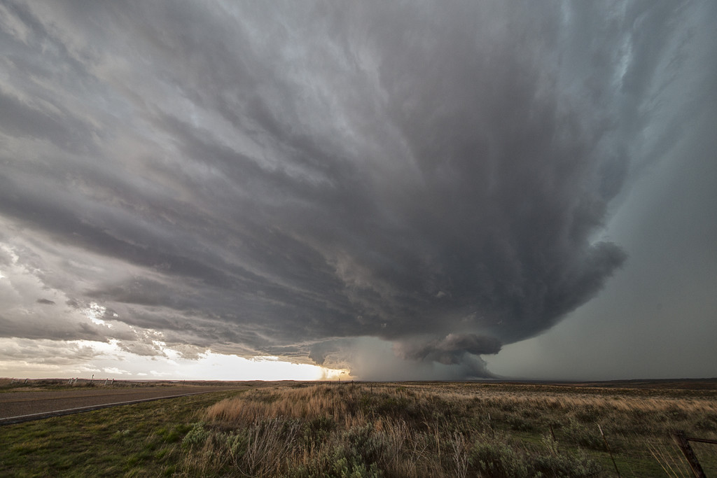
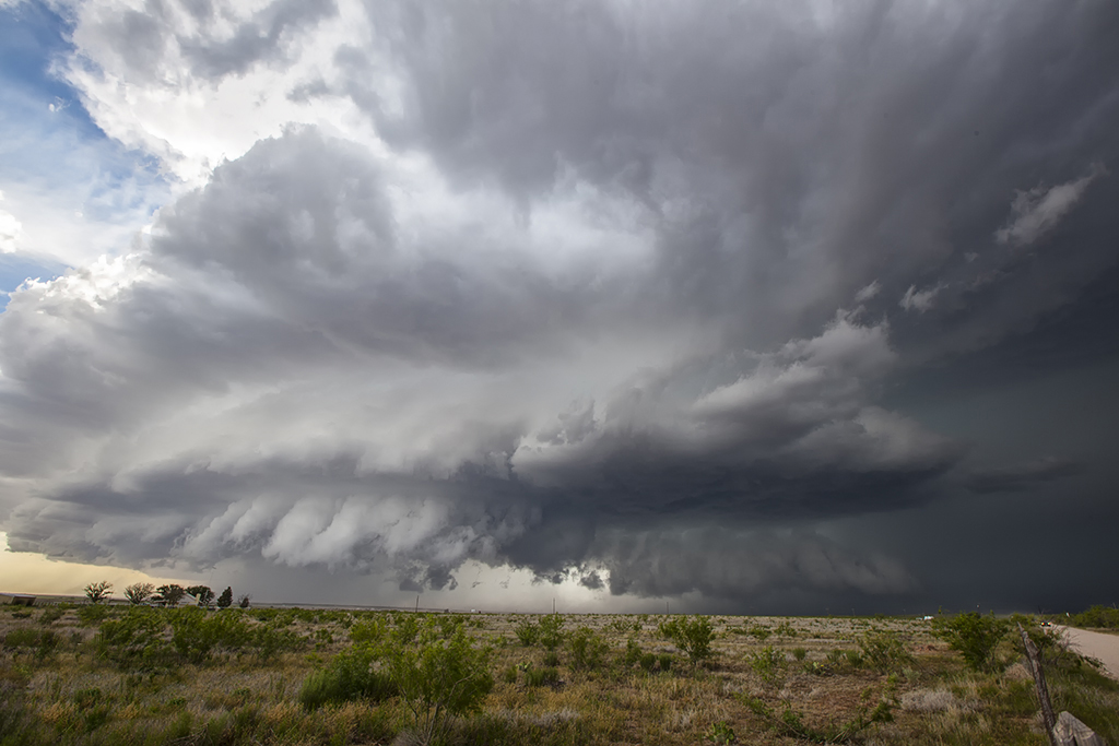
April 16th had good potential, but a tad limited moisture. Mid 50s dewpoints raced north on a strong low level jet and storms exploded on the dryline by mid afternoon. We interecepted the southernmost cell not far from Groom, Texas. Appearing outflow dominant and linear, we pushed ahead of it and watched as the tail end updraft become a rotating beast and produced a tornado. As the storm continued northeast, the structure was quite pretty as it tried again to produce several times, but just couldn’t stay focused long enough for that to occur. Overall, beautiful supercell and a great chase!


July 16, 2014 – Texas Panhandle Tornadic Supercell

Usually in July our Great North Tornado Hunt is in the Dakotas and even Canada, but not this year. July 16th was a pretty decent set up south with respectable moisture, instability and shear for this late. Storms formed along a dryline in the western Texas panhandle and also along an old outflow boundary in the northern panhandle. It was the latter storms that were the best, becoming tornado warned and producing a weak EF0 tornado that destroyed a barn. Structure was very nice and the lightning as well! Guests enjoyed this storm immensely !


May 26, 2014 – Central Texas Tornadic Supercell

May 26th featured a dryline in the west Texas area, with pretty decent shear, moisture and instability. Storms formed early afternoon east of Lubbock and tracked southeast during the late afternoon. We ended up watching strong supercell that pushed all the way through San Angelo late in the day, producing huge hail and at least 2 tornadoes we could confirm. The structure on the storm was quite nice and as it cycled several times, it morphed into a massive hp supercell.  There were a LOT of chasers out on this late May day as expected, and everyone was leapfrogging each other trying to move with the storm. It was quite comical to say the least! All in all though, it was a very exciting chase day and the guests had a fantastic time with this beast of a storm!


May 7, 2014 – North Texas/Southern Oklahoma Supercells

What a fun chase day this was! We intercepted several storms in northern Texas and one in particular near the town of Henrietta would become one of my favorite supercells of 2014! The structure was top notch, it’s motion was nice and slow, and it was extremely photogenic! Although not tornadic, it came close a couple of times to producing. Later, a second supercell formed west of Wichita Falls, Texas and moved north across the Red River into southern Oklahoma. This storm was extremely electrified and also tornado warned. Both supercells produced hail baseball sized as they churned across the countryside.
 

April 1, 2014 – North Texas Tornado Warned Supercells

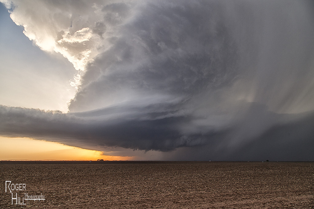
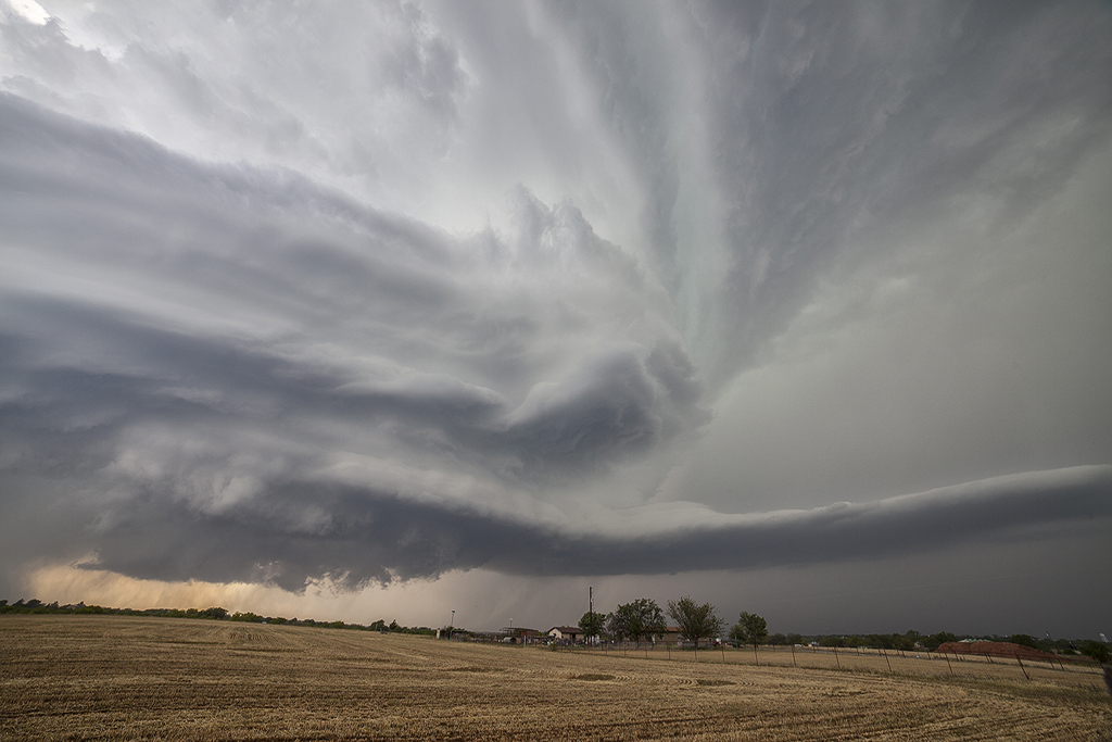
April 1st appeared to be the first day of a two day chase. We did an on call tour as Caryn and Roger headed to north Texas to play the dryline. It didn’t disappoint! Severe storms, two tornado warned, developed and gave us quite a show near Throckmorton, Texas. Although there were no tornadoes, these storms had super structure and produced hail to baseball size. Day 2 of this event turned out to be a raging squall line and thus, the results were not post worthy.


May 23rd Texas Panhandle Tornado Warned Supercell

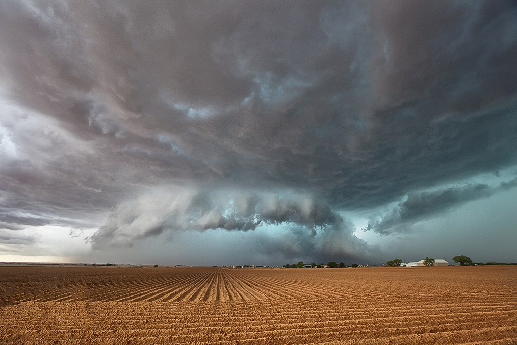
May 23rd took me near Plainview, Texas and points southeast. A strong supercell developed near a boundary and produced a couple of landspouts. It was rotating quite strongly and between the inflow and RFD, became almost invisible at times due to blowing red dirt. The storm had pretty decent structure as it also produced tons of hail to baseball size.  At one point early, a funnel extended halfway to the ground for a couple minutes as it rotated around the mesocyclone.