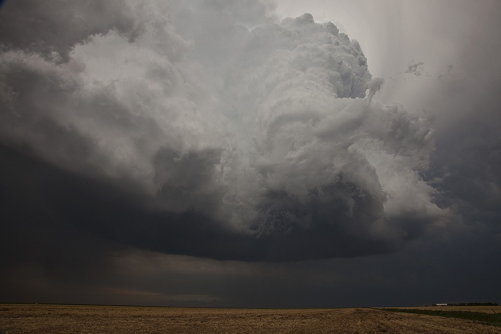
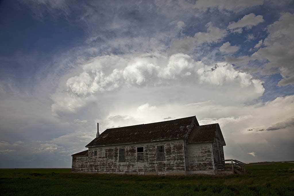
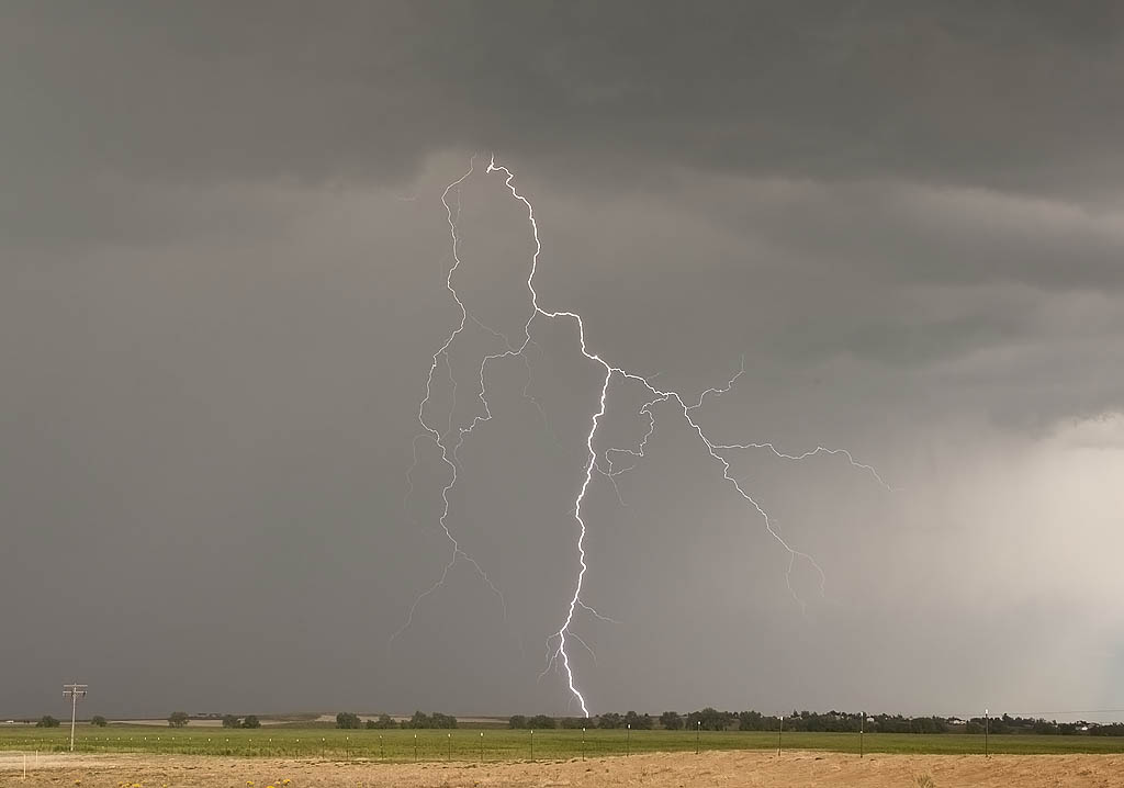
July 17th was a classic northwest flow event. Good deep layer shear, moisture and instability would cause storms developing over the higher terrain of Colorado and northeast New Mexico to increase in intensity as they moved southeast across eastern Colorado and the Texas panhandle. We intercepted a nicely sculpted severe storm northwest of Dumas, Texas that produced near golfball sized hail. But the storm of the day was a southwest moving tornadic supercell in southeast Colorado. It had magnificent structure, 50 mph inflow winds, baseball sized hail and a tornado. I also was able to do a time lapse over an almost 80 minute period of the updraft as it spun nicely. Watch the video below!
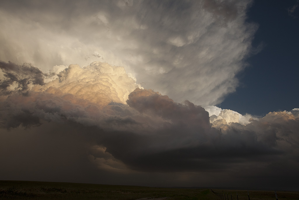
Late May 2009 Images
From mid through late May, nature did not cooperate with an active severe weather pattern. A large ridge of high pressure, along with a persistent gulf coastal frontal boundary would prevent decent moisture from returning to the plains states. When you operate a tour, you still have to find the little nuggets nature gives you. The pictures below are those nuggets from May 19 through 31st.
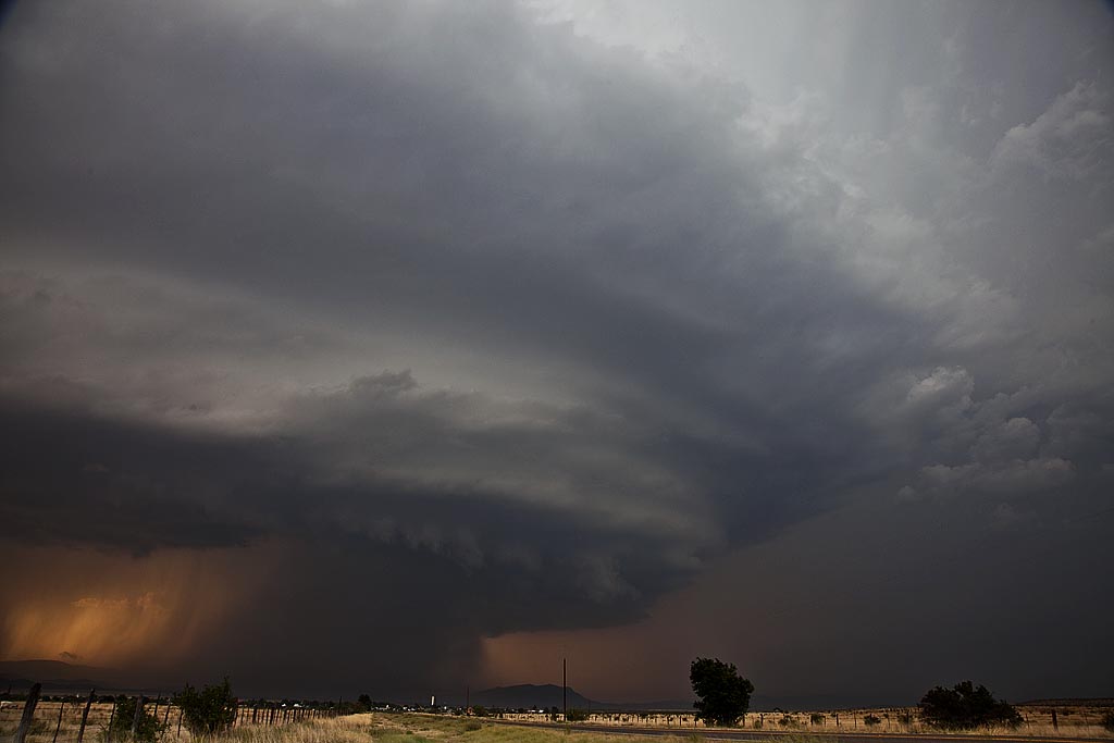
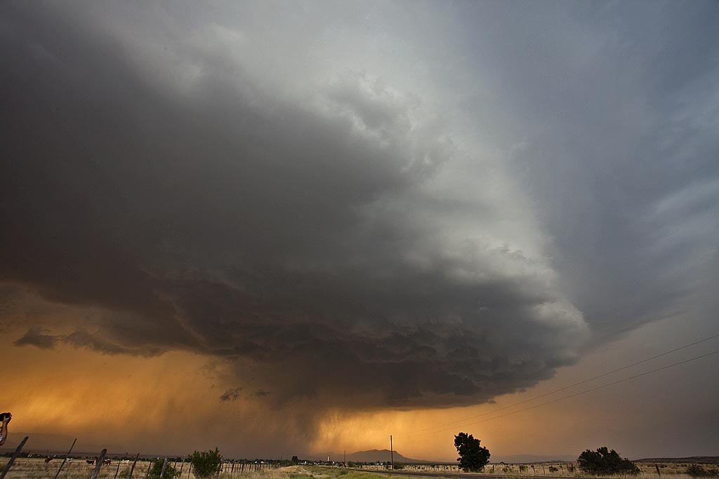
May 10, 2009 Marathon, Texas Beautiful Supercell
May 10th I wasn’t expecting much at all. High temp/dewpoint spreads, weak surface flow as well as 500 MB flow, and a fairly stout cap, would leave me skeptical about any decent storms. However, nature would have the last laugh as she provided us with a spectacularly structured supercell off the Davis Mountains in southwest Texas. High based storms first formed and became severe along the north and eastern parts of the mountains, with one cell becoming a beastly storm. It tracked east, then south towards Marathon and eventually into the Big Bend region. This storm would also produce copious amounts of hail near Marathon.
May 5, 2009 Strawn, Texas Damaging Hailstorm
May 5th took us to northwest Texas to play a volatile boundary with high CAPE and moisture, but limited low level shear. A supercell formed along a boundary near Breckenridge, Texas and exploded as it tracked slowly southeast. It spun wildly, tried to produce a tornado a few times, but ended up being a nicely structured supercell with gigantic hail. We destroyed our windshield in the storm near Strawn with softball sized hail being quite common. Click on the video link below for a wild hail video.
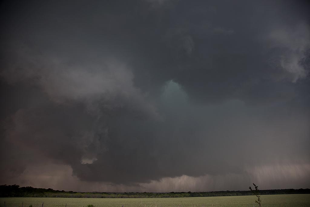

May 1, 2009 Stamford, Texas Supercells
May 1st kept us in northern Texas playing a high CAPE/fairly low shear day. We had strongly deviant moving supercells with pretty structure, tornado warned but never did produce much, other than large hail, a funnel and heavy rain. Still, two very pretty structured supercells were observed.
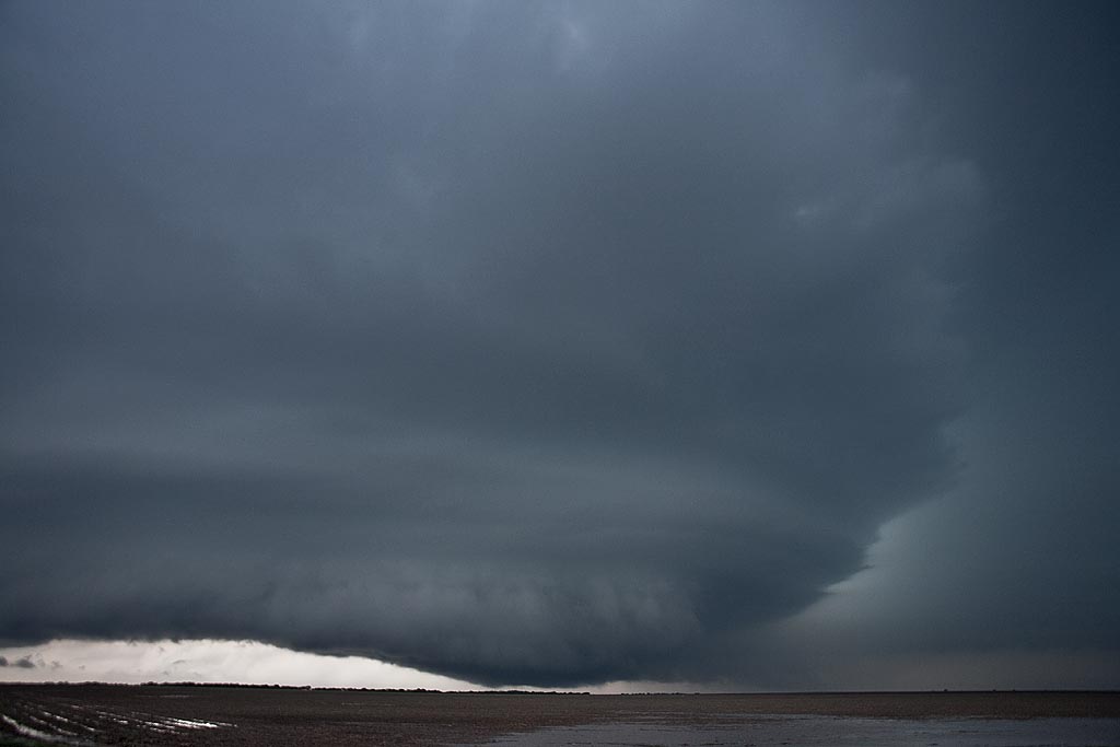
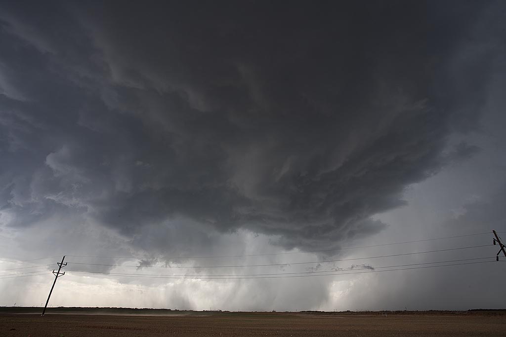
April 29, 2009 Cedar Hill, Texas Tornadoes
April 29th took me to the Texas panhandle. Several severe storms developed along an old outflow boundary and warm front. Many spun strongly and a couple produced tornadoes. We were able to intercept the Cedar Hill storm and tornadoes from a distance of about 10 miles. We actually were chasing a tornado warned supercell just east of the Cedar Hill storm, when I saw the tornado form to our west. Due to poor road options, and muddy dirt roads, we were forced to stay east and watch from a distance.
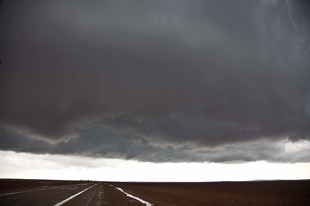
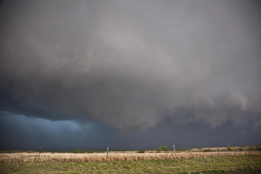
April 28, 2009 Carlsbad, New Mexico Supercell
April 28th took me to southwest Texas and southeast New Mexico to chase upslope storms. By late afternoon such a supercell developed near the Guadalupe mountains and tracked eastward along the Texas/New Mexico border towards Jal. The storm had pretty structure and was tornado warned for a long period of time. There may have been a brief tornado but we were too far away due to poor roads to confirm it. The storm produced large hail and tons of lightning.
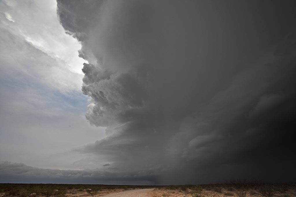
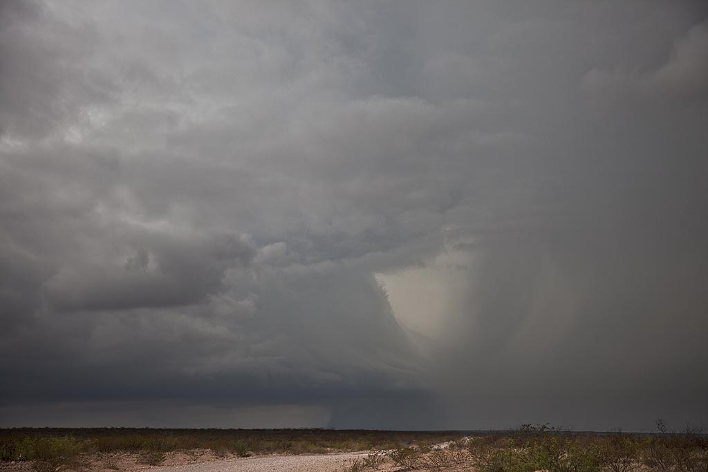
April 26, 2009 Roger Mills County, Oklahoma
April 26th had outbreak written all over it. SPC upgraded to High Risk and issued several PDS tornado watch boxes. Problems seemed to start with storm mode as things would develop and become a bit stretched out and eventually linear. By late afternoon a nice pinch point developed along I-40 over the far eastern Texas panhandle. Storms fired, spun quickly and became tornado warned. We intercepted 2 tornadoes near the town of Crawford and we came very very close to the second larger tornado. Close enough to smell the tornado and feel your ears pop. Click on the link below for a video (beware of LARGE file size!) and the small photos for larger images.
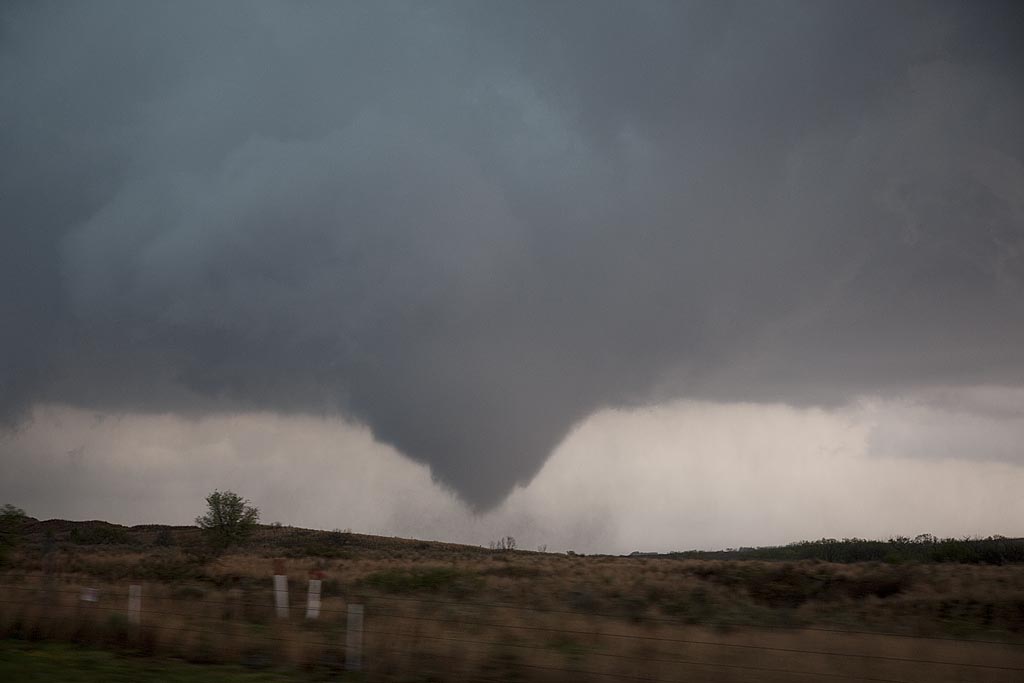
February 10, 2009 Texas/Oklahoma Supercells and Tornadoes
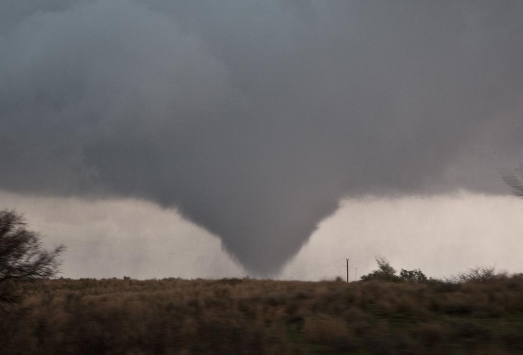
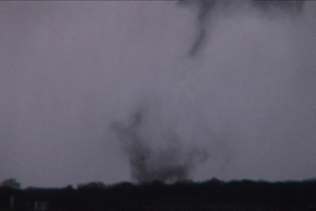
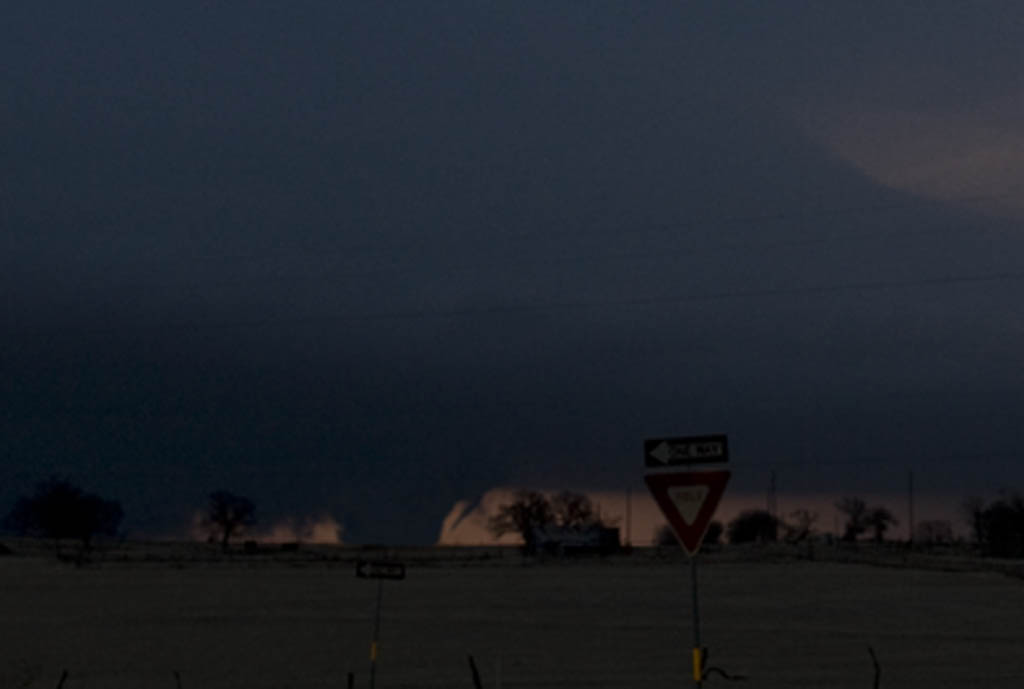
February 10th was a surprise set up for this early in the year. Moisture surging northward into southern Oklahoma and north Texas, with strong heating ahead of the dryline and advancing upper level system would set the stage for significant convection this day. We ended up near the Wichita Falls, Texas area via Oklahoma by 4 PM to find the action farther north near and north of Oklahoma City. Storms farther south were fairly linear as strong forcing along the dryline was occurring. We stayed put, near Henrietta, Texas in hope for something to fire ahead of the line or at the tail end, and move into an environment conducive to rotating storms. We were not disappointed. A cluster of towering cumulus developed ahead of the line south of Bowie, Texas, and matured into a magnificent supercell that produced a tornado near Ringgold, Texas. As it crossed the Red River north of St Jo, TX I got a great shot of the developing wedge that would later cause the death and destruction in Lone Grove, Oklahoma. Very successful first chase of the year, but with sad results of the EF4 tornado tearing through Lone Grove.
September 12th and 13th, 2008 Hurricane Ike Landfall
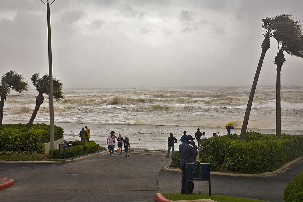
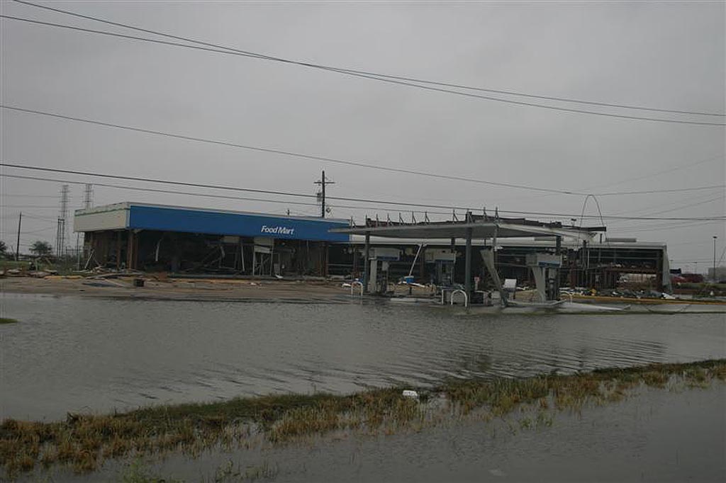
On Sept 11, I flew from Denver to San Antonio, Texas for the intercept of Hurricane Ike. My plan was to get a rental car, provisions and fuel, and then make my way to Galveston for landfall. Because I had a group of people with me, and the promise I made to their families of not staying out where the surge could cut us off, I took us back across I-45 to the mainland at dark on the 12th. Even the drive across the high bridge from Galveston Island to Bayou Vista was intense as we were raked with 70 MPH winds, a shaking bridge and waves galore. We rode Ike out at the Mall of the Mainland in Texas City and then did not go back towards Galveston due to blocked roads and the local authorities coming in to help the victims. Check out the two videos below, one from daytime hours on the 12th and then the other from the landfall in the dark. The images of the damage in Galveston were from Stuart Robinson (www.stormtrack.co.uk).