July 14th was a day that had a lot of promise. I didn’t think there was a tremendous tornado threat with the relatively weak low level shear from surface through 850 MB, but overall shear, moisture and instability were quite supportive of nicely structured supercells. It did not disappoint! We had several nice supercell storms to watch. The first storm of the day was an LP, then classic supercell, then almost died as it ingested tons of dry air, and finally came back to life and became the storm of the day. A couple other supercells were also very pretty and quite severe. Most storms produced hail up to baseball size and were very electrified as well.
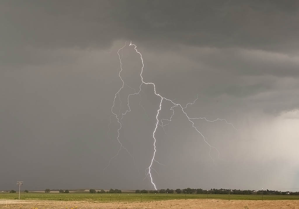
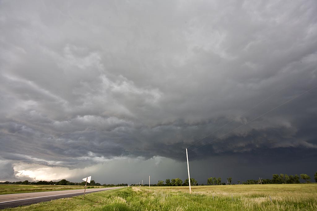
May 8, 2011 Presho, SD Brief Tornado
We ended up in central South Dakota this day on what appeared to be a pretty marginal situation. Nonetheless a tornado watch was issued for the dryline in South Dakota, down through northern Nebraska. We positioned ourselves near Presho and watched a high based supercell spin like crazy and eventually produce this brief 2-3 minute weak tornado. It also produced an amazing cg display and dumped golf ball sized hail on us. Freakiest thing this day was what happened on the way to our hotel east near Chamberlain. As we were going down into the Missouri river valley, a freak gust of wind from a decaying storm hit us with such force, it picked up pebbles from the side of the road and blew out all the windows on the drivers side. Other than being shaken up a bit and a couple glass cuts, everyone was fine. Later we found out others had also been hit by this strange wind gust. This put us out of commission the next day as we had to get glass installed. Caryn and her on call group witnessed a tornado near Harrison, NE on that day.
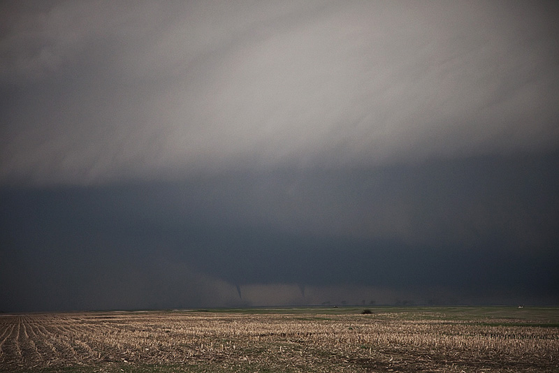
June 16, 2010 Dupree, South Dakota Tornado Outbreak
What an amazing day! We left North Platte, NE headed north to chase the warm front in South Dakota. I was certainly not expecting what occurred this day. After a quick lunch in Rapid City, we took off targeting the warm front near Faith. As we arrived a supercell formed, turned right and anchored on the warm front. This became the tornado machine of the year. We counted 16 tornadoes, with as many as 4 and possibly 5 on the ground at the same time. Three large wedge tornadoes occurred, along with about every other look and shape tornado imaginable. The town of Dupree came within a mile of being wiped off the face of the earth. Thank goodness the worst stayed just west and north of town. Here are a few images.

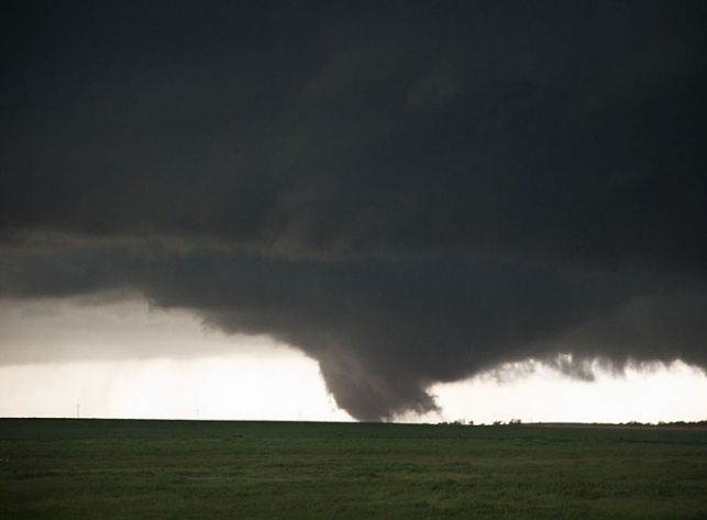
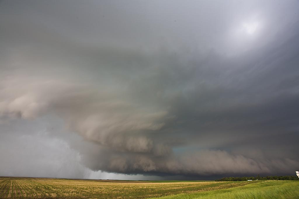
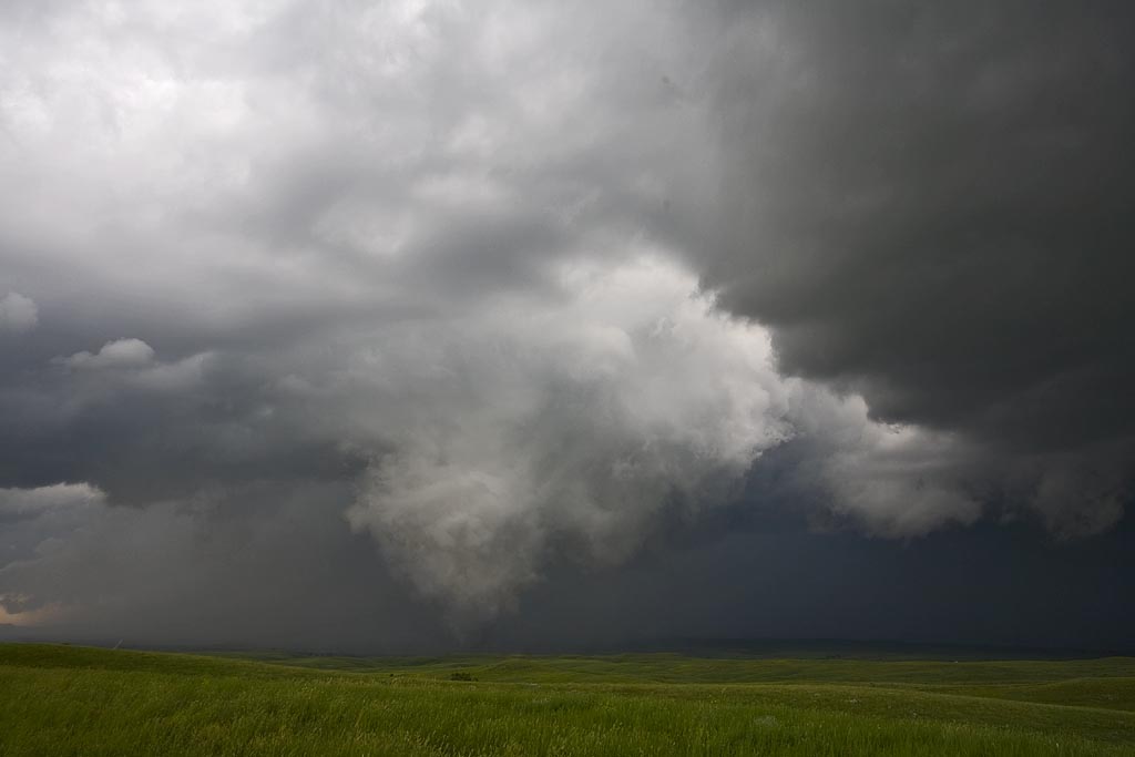
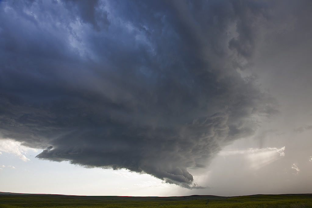
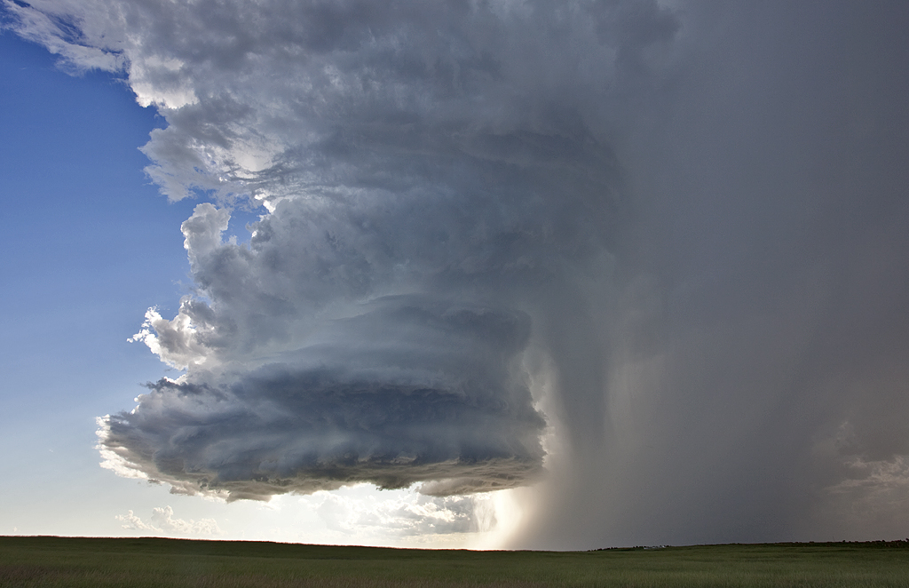
May 22, 2010 Bowdle, South Dakota Tornado Outbreak!
May 22nd was a day that had high risk/high reward written all over it. There really wasn’t much anywhere else to chase. We played the triple point in north central South Dakota and were rewarded with one of the prettiest and most violent tornado producing storms of the year. Several storms formed along the triple point and congealed into one beastly tornadic supercell that produced at least half dozen or more tornadoes. The large wedge in the photos below was an EF4 and we were able to get within a quarter mile of it before it started spewing debris around us. The structure of the monster was breathtaking as it dropped tornado after tornado between Bowdle and points northeast from there. Enjoy the photos and video, but keep in mind people’s lives were changed by the monster.
August 7, 2009 Sturgis, South Dakota Hailstorm
August 7th looked like a decent setup for western South Dakota. Good shear and moisture, moderate instability and strong lift would help fire off several supercells, including the Sturgis storm. We followed that storm from the time it passed Sturgis until it died near Murdo well into the night. It left behind a path of massive hail damage. It also injured numerous bikers and caused millions of dollars in damage at the Sturgis Bike Week Rally.
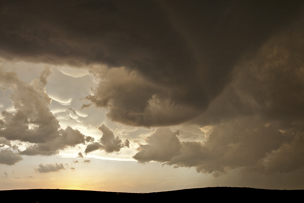
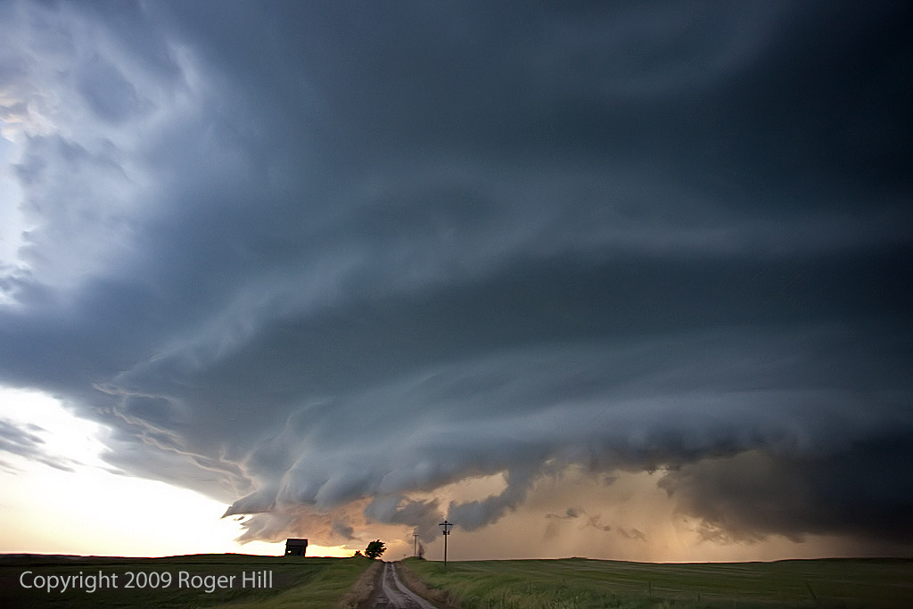
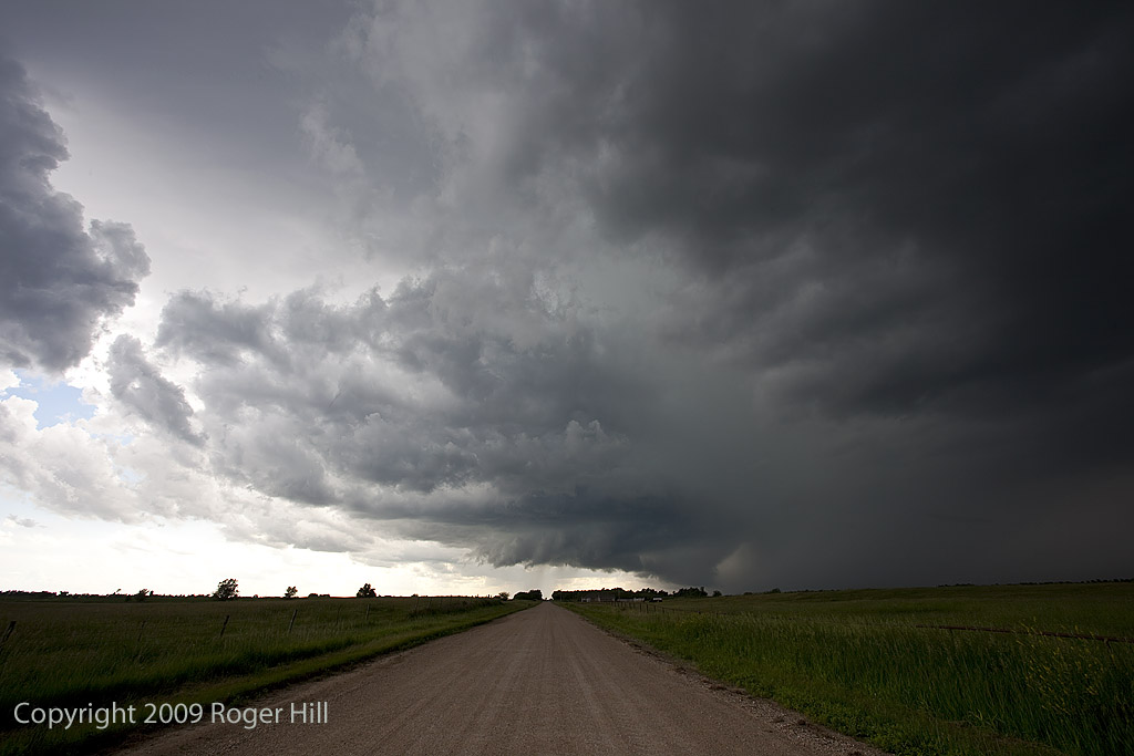
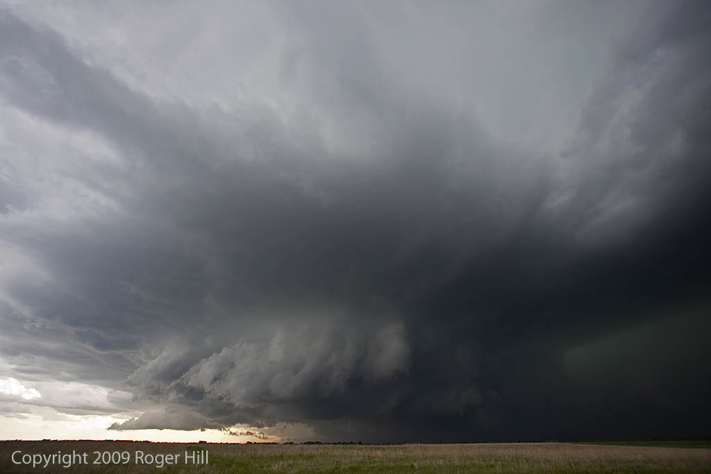
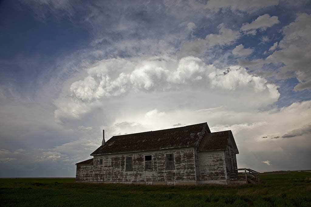
June 24, 2009 South Dakota Long Lived Supercell
June 24th had potential. Good deep layer shear, decent moisture, high instability and a mesolow along an outflow boundary would provide all the ingredients to produce several supercells in South Dakota. We spent part of the afternoon in Murdo and waited for something to happen. Finally by early evening, a tornado warned supercell formed and right turned strongly into far south central South Dakota and eventually into Nebraska. This storm had great structure and tried several times to produce a tornado. It did produce hail to baseball size.
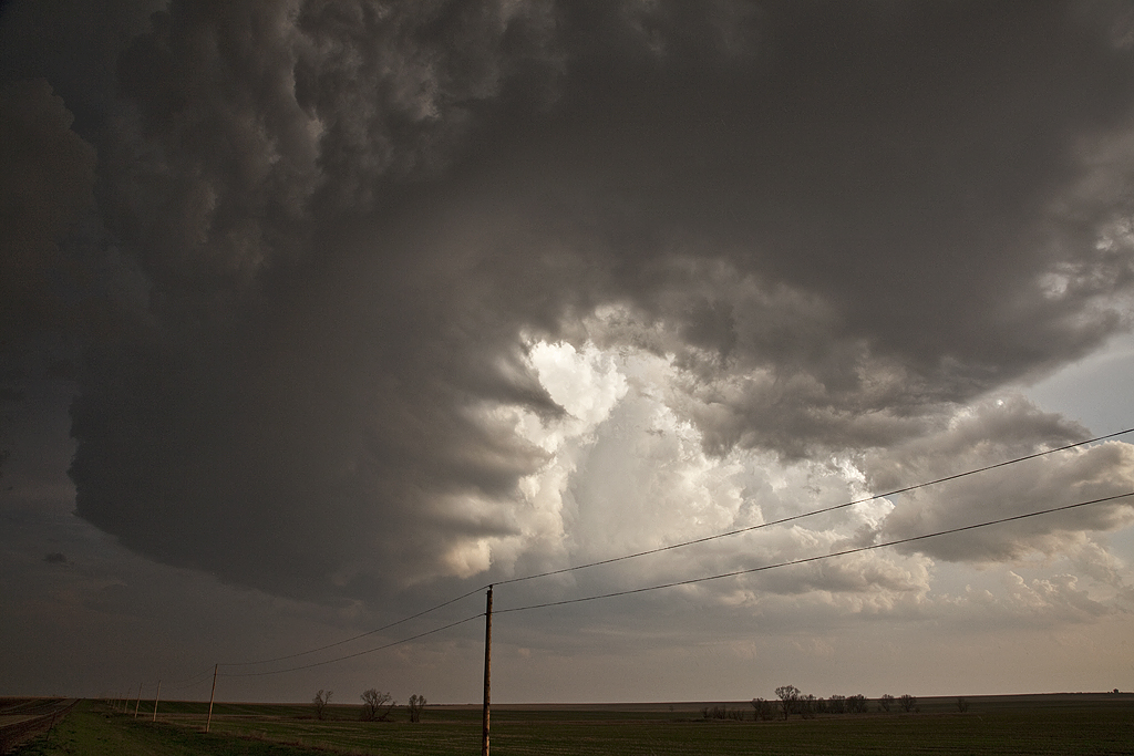
June 16, 2009 South Dakota Tornado Warned Supercell
June 16th was a surprise day. We were figuring on a down day or a day that had very marginal potential. By late morning, several storms developed along the east side of a surface low in northern South Dakota. Many were tornado warned. We couldn’t get there in time coming up from Salina, Kansas, but we did manage to catch the storm that was the largest and longest tornado warned in South Dakota. It had beautiful structure and very large hail. Also it produced a large, but weak tornado that ripped through the Menno area causing lots of tree damage and damage to several tin buildings.
Late May 2009 Images
From mid through late May, nature did not cooperate with an active severe weather pattern. A large ridge of high pressure, along with a persistent gulf coastal frontal boundary would prevent decent moisture from returning to the plains states. When you operate a tour, you still have to find the little nuggets nature gives you. The pictures below are those nuggets from May 19 through 31st.
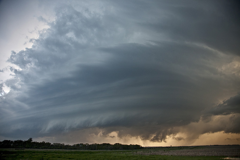
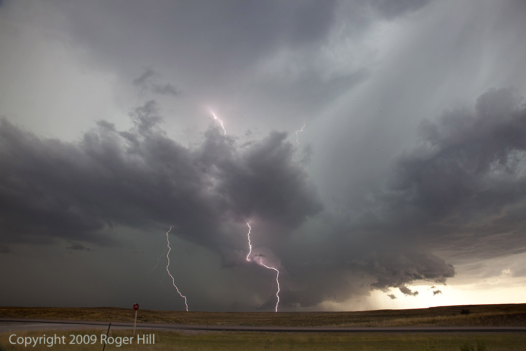
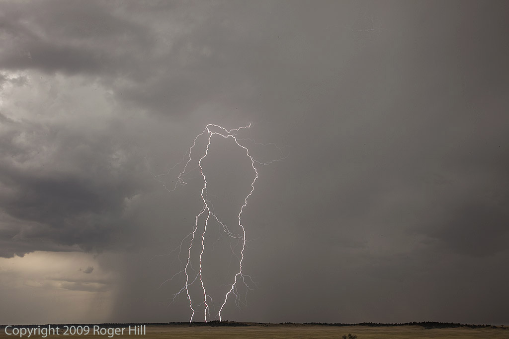
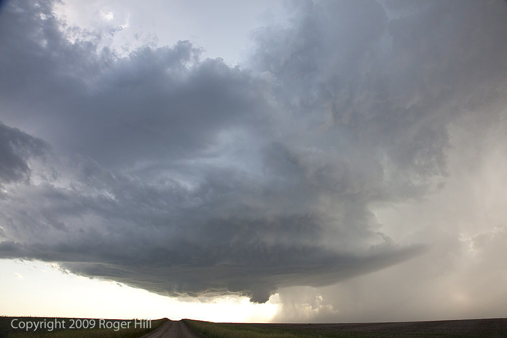
July 15th/16th Nebraska and South Dakota Tornado Warned Storms
July 15 and 16 took me to northern Nebraska and South Dakota to play storms along the dryline. Shear wasn’t expected to be very strong, but enough to help generate supercells, and to my surprise tornado warned supercells. July 15th took us to Nebraska where a large supercell developed west of O’Neill. This storm was fairly high based, but rotating nonetheless. It produced golfball sized hail and had very high winds once it lined out. July 16th took me to central South Dakota along the Missouri River where numerous severe storms formed near dark. Lightning was decent and the hail was large, also to golfball sized.

June 26th, 2008 South Dakota Tornadic Supercell
June 26th ended up being my favorite chase day in June. Good moisture, a boundary and strong shortwave energy would set the stage for supercells across North and South Dakota. I started the day in Rapid City and ended up near Mobridge as two tornadic storms formed not far from the North and South Dakota border west of the river. It was absolutely stunning scenery watching this storm interact with the surroundings! It produced at least two tornadoes, possibly more as it wrapped in rain. It also produced tons of hail to tennisball sized. The structure later in the evening was stunning!