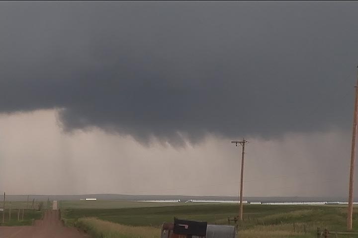
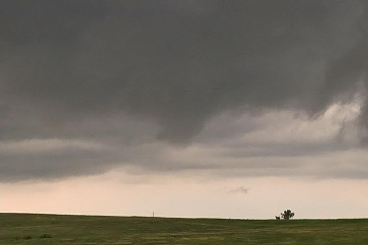
June 12th, 2007 South Dakota Supercells
June 12th was the worst of nightmares weatherwise. Great shear was all the was present this day, as too many overnight thunderstorms would not allow much instability to form. Storms formed along a boundary, with no cap, and became outflow dominated quickly. Too many storms would form from Nebraska, northward through North Dakota. Despite several tornado watch boxes, no decent tornadoes developed this day. The images here were taken within 50 miles of Murdo, SD.


No comments yet.