Tag Archives | May

May 16th Texas Panhandle and Southwest Oklahoma Tornadic Supercells

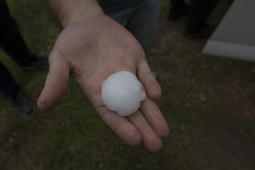
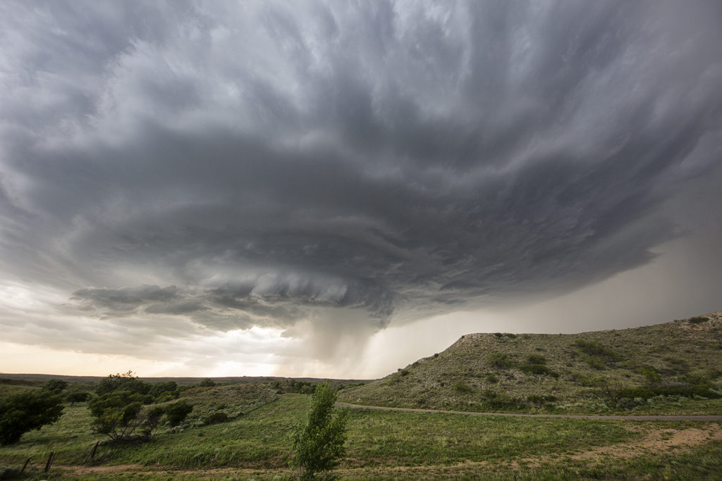
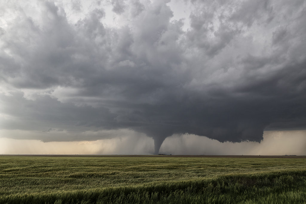
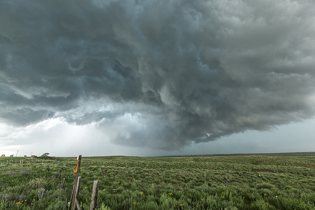
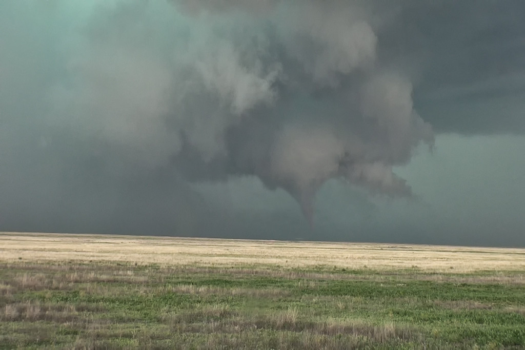
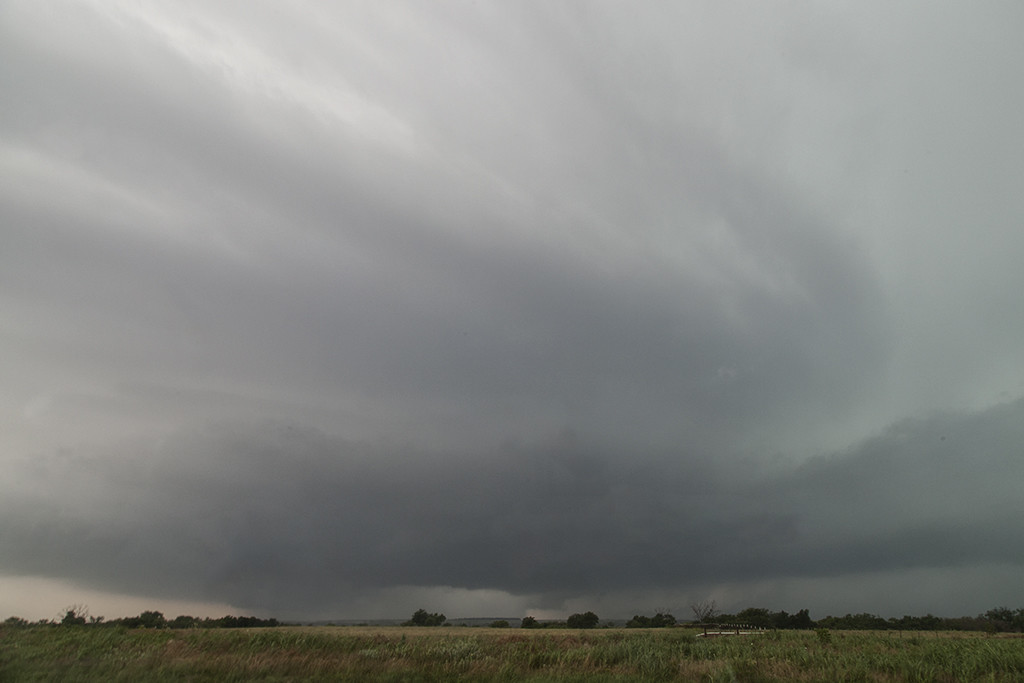
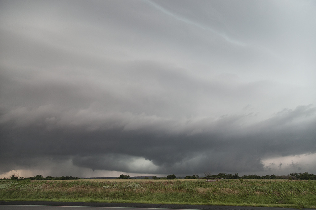
May 16th was advertised as a great potential day. The dryline in the Texas panhandle would be the focus for supercell development. It did not disappoint! Mid afternoon brought several supercells to the area, with one in particular near McLean.  Strong shear, deep moisture, great instability and lift would set the stage for several tornadoes to form this day. Most tornadoes occurred over open countryside, however one strong EF3 tornado did strike the Elk City, Oklahoma area causing significant damage. We witnessed the McLean tornado from it’s birth to death, then followed the Elk City storm from the TX/OK border to Elk City, where we chose to let it go.  The tornado was completely rain wrapped and not visible.  Storm structure was also fantastic this day, and the hail was huge, up to softball sized. Great first day for Tour 4!
 

May 15th Texas Panhandle Supercell

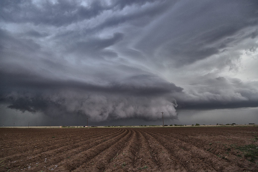
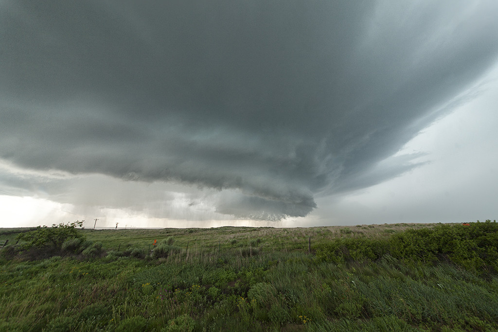
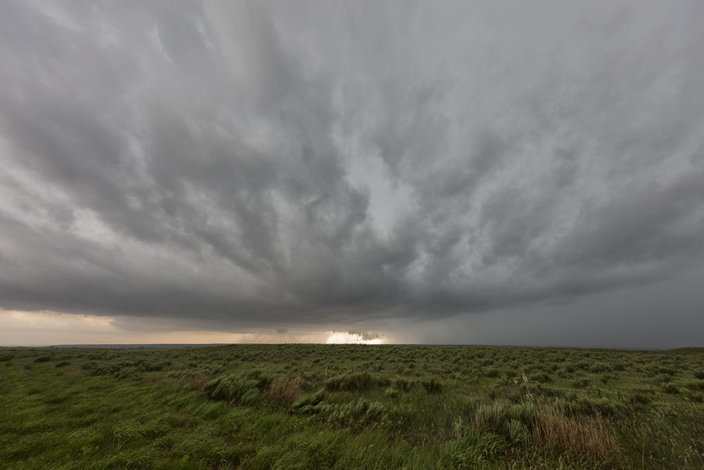
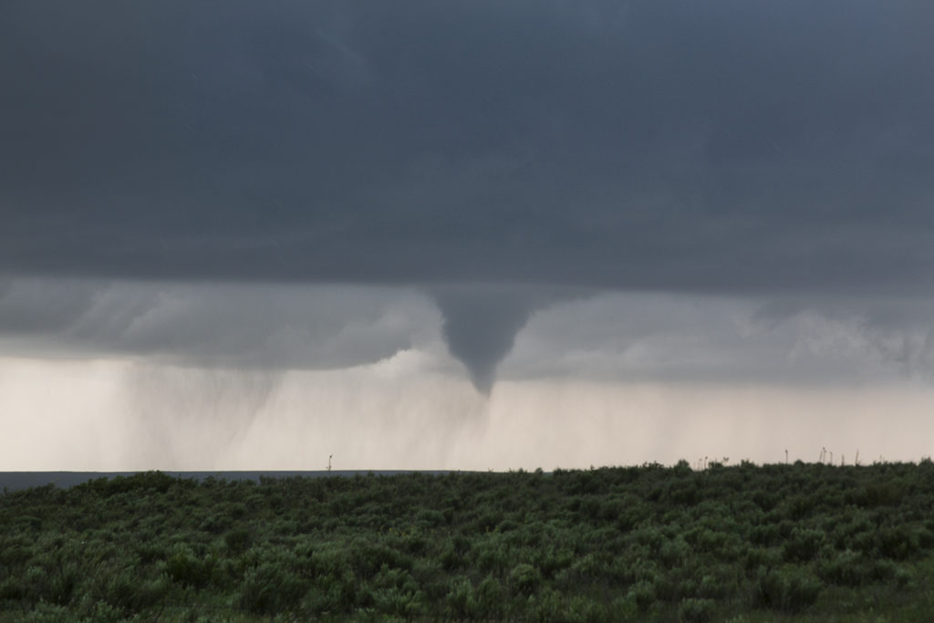
May 15th was the arrival day for Tour 4. We did our usual arrival day chase and headed to the panhandle. Moisture wasn’t optimum, but was sufficient for severe storms. Shear was great, and most storms that developed spun quite nicely. We caught one storm near 4 Way and followed it to Stinnett, where we were able to watch it roll across the countryside. This supercell would produce hail baseball size and had nice structure. A great way to  start Tour 4!


May 9th Southwest Texas Tornadic Supercells

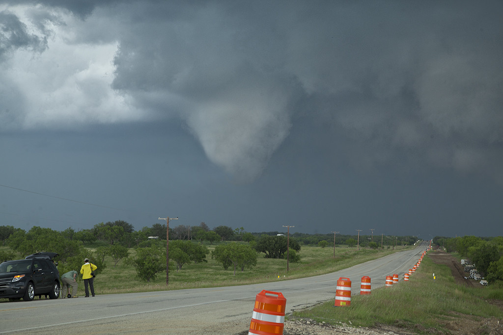
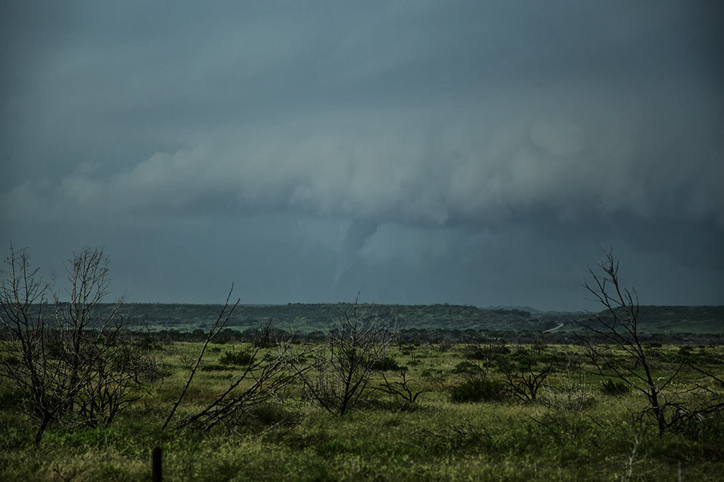
May 9th was a wild day in Texas and New Mexico. A large closed low over the desert southwest would slowly approach the region. Strong deep layer shear, however with fairly weak surface winds, would overspread the area by late afternoon. Decent moisture and instability would contribute to a very unstable airmass. Storms exploded in the higher terrain of northeast New Mexico first, then later developed over southeast New Mexico and eventually spread into southwest Texas. We intercepted a tornado warned storm near Clovis, New Mexico which didn’t have the appearance of becoming tornadic. Then another supercell developed in southwest Texas and moved towards Enochs. Just northeast of Enochs it produced two tornadoes. We would continue following it northeast until it weakened near dark. At that time another supercell formed near Hobbs, New Mexico and quickly raced northeast towards Whiteface, Texas. This storm spun hard, but never could produce a tornado. Overall, the weak low level shear would result in only brief tornadoes this day, but it was still a great chase event.

May 8th Eastern Colorado Tornadic Supercell

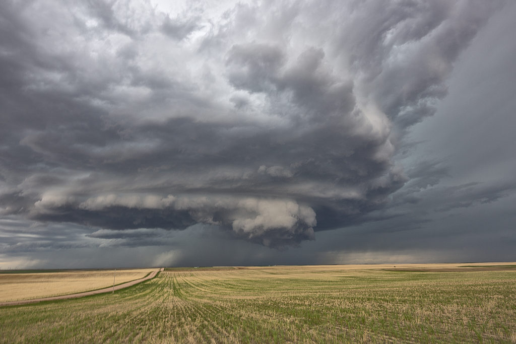
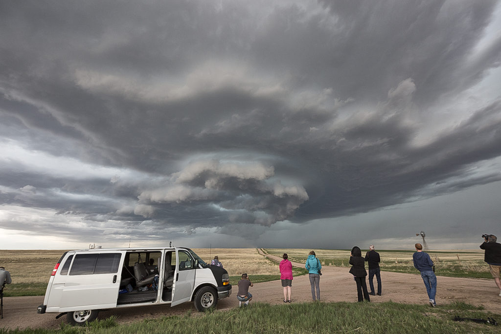
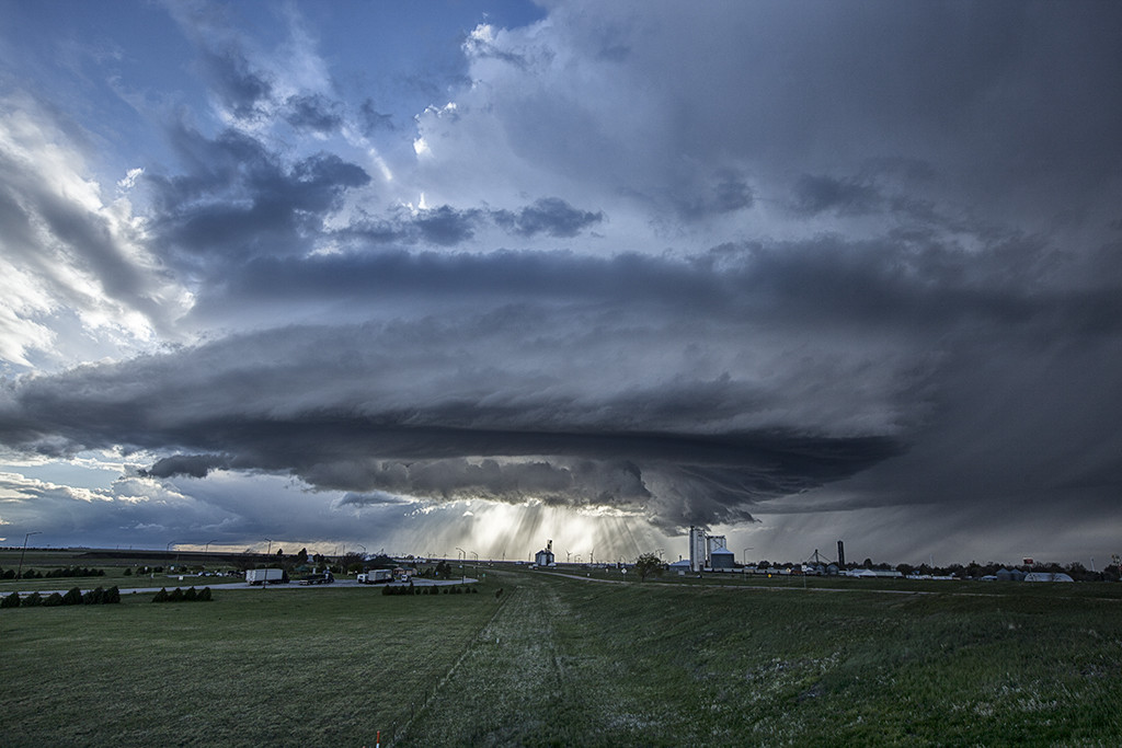
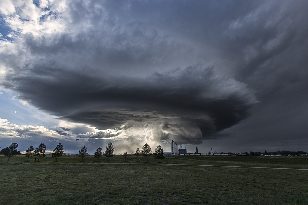
May 8th had potential in Colorado, as well as eastern New Mexico. It was the first day of Tour 3, and we decided to play the Palmer Divide area. Decent shear, moisture and instability would set the stage for intense severe storm development by mid afternoon. With a 650 mile drive from Oklahoma City, Tour 3 guests made it in time for a beautiful long lived sculpted supercell. However, we would miss a brief tornado that SLT Co-owner Caryn Hill caught early in the storm evolution. Sometimes time and distance won’t allow you to get where you would like to before storms fire up. This supercell would mature and produce large hail, strong winds, lightning and gorgeous storm structure. This would be the first of 4 straight days Tour 3 and one of our On Call Tours were treated to tornado warned supercells.

May 24th Southwest Kansas Tornadic Supercell

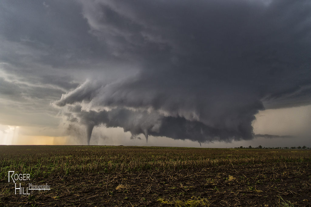
May 24th had the best of both worlds. As Photo Tour #1 went to Colorado for its rewards, Tour #4 had a special day along an outflow boundary south of Dodge City.  As Tour #4 moved north out of Oklahoma, hard cumulus towers formed along the boundary near Minneola. Soon, a storm emerged from these towers and would become an intense tornadic supercell as it drifted north towards Dodge city and spun like crazy. It took it awhile to really get going good, but when it did, a huge wall cloud formed, and started spinning wildly. The first of a dozen tornadoes would form of every shape, size and intensity, and at some point as many as 3 tornadoes were on the ground at the same time. Dodge city eventually came under a tornado emergency as a large multivortex tornado hit the west side of town. As the supercell moved north of town, many other storms formed and eventually turned into a huge cluster of severe storms that moved across Kansas. As that happened, we left the storm and went to Garden City for the night. An amazing day, with a dozen tornadoes from this storm and the fact both of our tours capitalized on the days potential was even more special!

May 27th Canadian, Texas Tornado Outbreak

May 26th had incredible potential. An old outflow boundary over the northern Texas panhandle, along with a dryline extending through the Texas panhandle intersected the outflow boundary just northwest of Canadian.  High CAPE, strong shear and deep moisture would all combine to produce a violent supercell that anchored itself near the town of Canadian. By mid afternoon the storm exploded and produce several tornadoes, including a couple that were strong.  Two tornadoes came very close to hitting Canadian, but fortunately dissipated before entering town. One of the best events of this young 2015 chase season and one that will live in the memories of all tour guests for sure!

May 26th North Texas Tornadoes

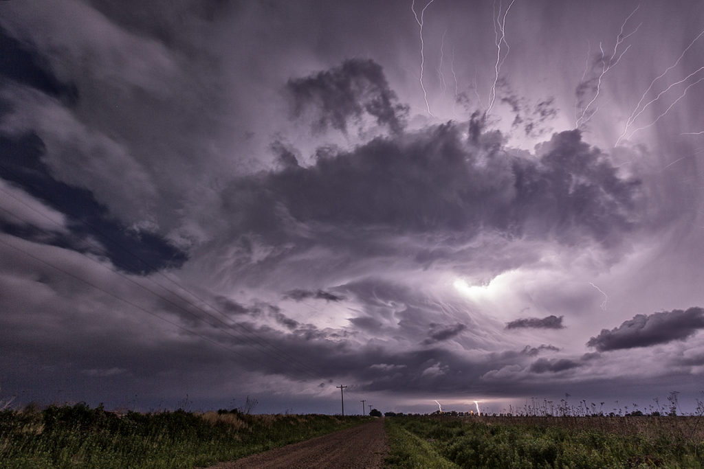
Very high moisture and instability, along with an outflow boundary would provide the focus for intense supercell development over northwest Texas May 26th. Storms erupted and quickly became intense and tornado warned. Although we witnessed one tornado, several funnels and great storm structure were observed. Storms had the tendency to become high precipitation quickly and thus a couple tornadoes occurred buried deep into the rain. They were extremely hard to see and very dangerous to get close to.

May 23rd Southeast Colorado Supercell and Tornado

High CAPE, good shear and lift along a boundary would provide the focus for severe storm development on May 23rd. We arrived south of Lamar early afternoon as storms formed quickly, and became severe. An anchored supercell southwest of Lamar did everything it could to be the storm of the day (which is was). Constant new cell development on its flank resulted in the storm mode being messy. By mid afternoon, though, it managed to pull off the anchored spot and move northeast. The storm had incredible structure, HUGE hail and finally produced a weak tornado. Structure was the main thing this day and it certainly did not disappoint!

May 22nd Eastern Colorado Supercell

Day 1 for Photo Tour #1 and day 4 for the Prime Time tour took us to Colorado where highly sheared supercells formed by mid afternoon.  One storm formed west of Limon and tracked generally along I-70 eastern for several hours. The storm had super LPish structure, but was never a threat to produce tornadoes due to lower instability. Nonetheless, it was a pretty sight to watch and was extremely photogenic.  All in all, a successful chase day for everyone!

May 19th Terral, OK Tornadoes

Day 1 of our Prime Time tour lived up to it’s name. A warm front/outflow boundary was situated over southern Oklahoma with an extremely moist and unstable airmass. CAPE values were in the 2500-3000 range with 50 knots off bulk shear. We sat near Wichita Falls, TX awaiting messy initiation, which did not disappoint! By mid afternoon tornadic storms formed just north of Wichita Falls and moved into southern Oklahoma. This storm became HP quickly and a rain wrapped tornado occurred. We decided to drop a bit south and play a tail end storm east of Wichita Falls which ended up being the Terral, OK storm. It spun wildly and was extremely electrified! Soon a wall cloud formed but wrapped in precip obscuring its view. We decided to drop south and sneak in behind the area of precip and were rewarded with 2 tornadoes, one of which nearly wedged. A fun day, a lot of work, but very high rewards!