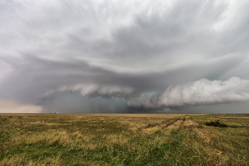
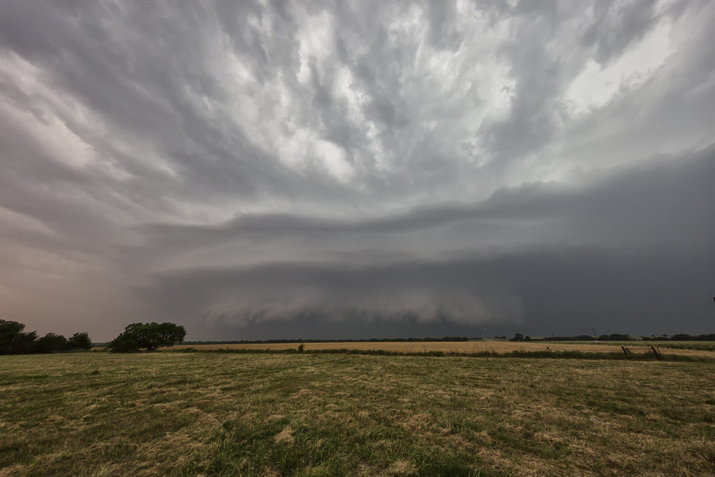
May 13th brought a good set up with strong convergence, good instability and moisture, but weak shear. This would result in high precipitation storms nearly anchoring across the Texas panhandle into south central Kansas. These storms would produce copious amounts of huge hail, high winds and especially flash flooding. Due to weak low level shear, they would not produce tornadoes. One particular supercell grew to a very large storm. A second storm was south of it and the inflow was so strong from the main supercell it pulled to southern storm into it and completely destroyed it! Crazy to see this happen! The large storm became a formidable high precipitation supercell as it slowly moved east towards the Oklahoma border. Lightning was also intense in many of the storms and we were treated to quite a light show as we drove back to Oklahoma City.
May 11th PyroSupercell in the Texas Panhandle
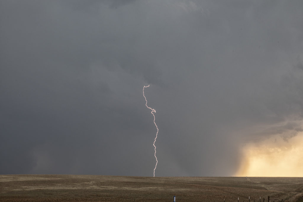
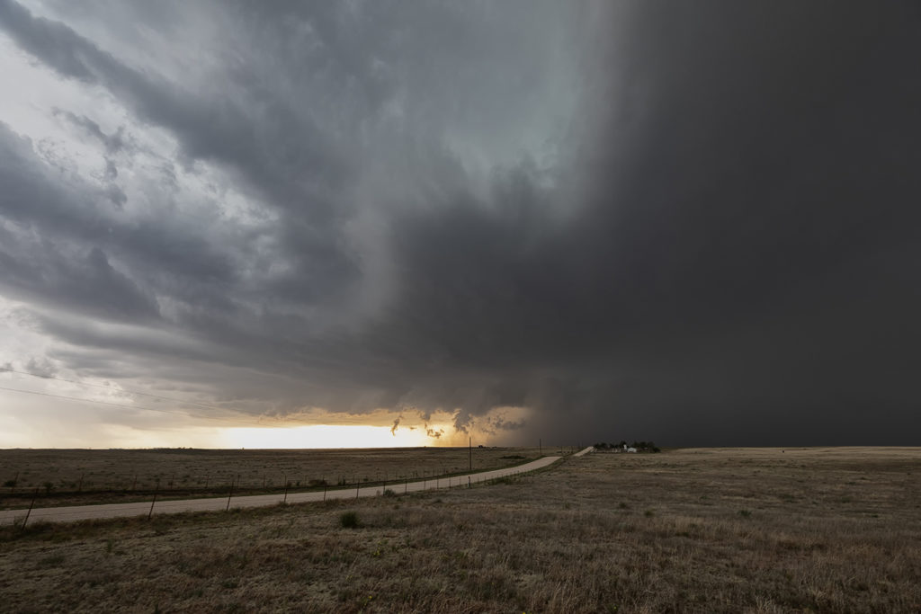
May 11th brought about one of the most unusual events we’ve ever witnessed! A massive grass fire in the Texas Panhandle southeast of Amarillo generated a pyrocumulus cloud. This cloud forms due to intense heat causing the air to rise and condense into a cumulus cloud. What we had never seen before was one of the pyrocumulus cloud grow to such enormous proportions that it was able to move away from it’s heat source and continue to grow, eventually turning into a supercell! Amazing! This storm would move all the way to the Oklahoma border before dying. It produced enormous amounts of cloud to ground lightning, which in turn sparked over a dozen new fires! It also produced hail the size of golfballs! Strange, beautiful and bizarre!!!!
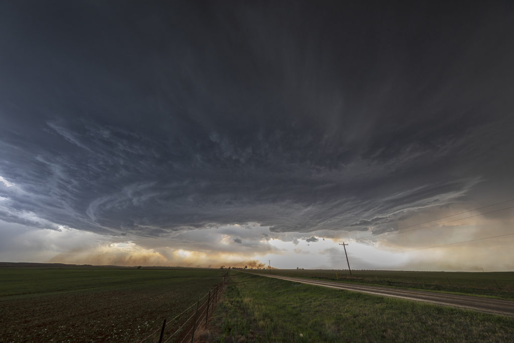
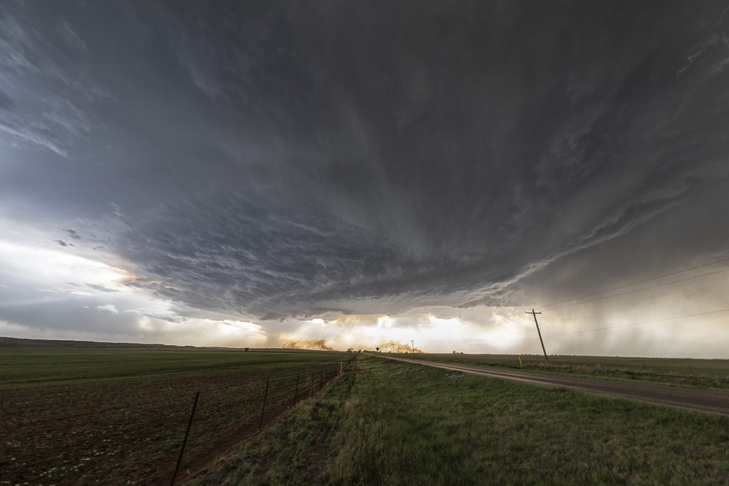
May 10th Southwest Nebraska Supercell
May 10th took us to western Nebraska for severe storms. Good instability and shear, as well as convergence along the dryline, would allow significant storms to form. However, due to lack of good deep moisture, the cells would be higher based than you would like to produce tornadoes. We intercepted a few storms this day, but the best and prettiest was a supercell that formed southwest of Ogallala, Nebraska later afternoon. This cell would have that classic mothership appearance, produce baseball sized hail and also became quite electrified. We were able to capture some great images. Also, we deployed our slow motion lightning camera which caught numerous bolts in slow motion!
Here’s a link to the lightning video:

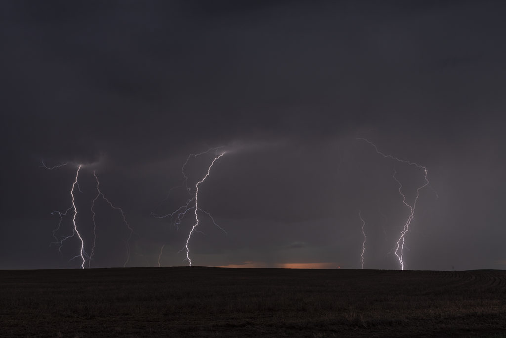
May 7th Valentine, Nebraska Electrical Storms
May 7th really didn’t have much going for it. It was the first day of Tour 3 and we wanted something to chase. We left Oklahoma City early bound for Valentine, Nebraska, some 650 miles away. Decent shear, but very limited moisture and instability would result in high based storms to form. What we didn’t expect was the amount of lightning that was occurring with these storms. Right around sunset they became quite electrified producing numerous cloud to ground lightning strikes. We pulled east of town as they became severe warned and watched the show. Very pretty and long lasting lightning display rolled on for hours.
Enjoy the photos!
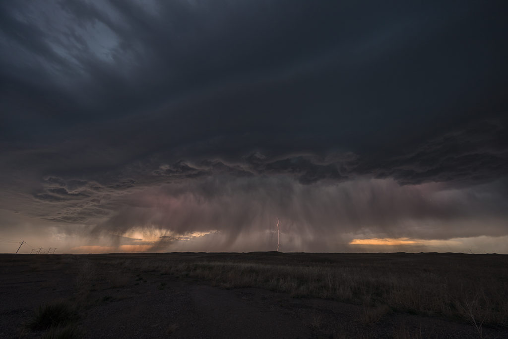
May 2nd Oklahoma Briefly Tornadic Supercells
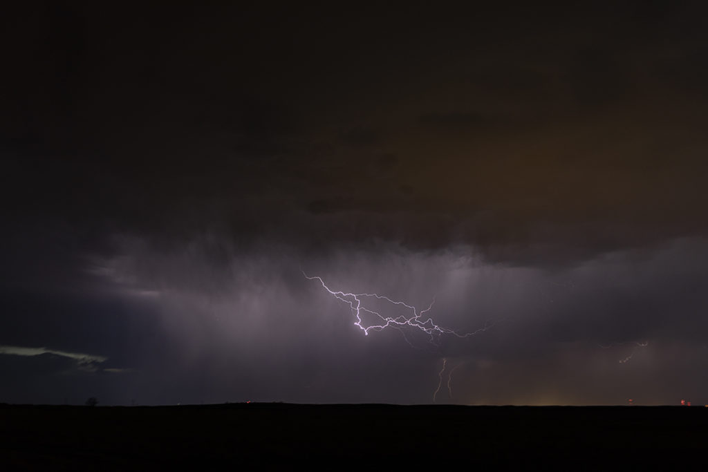
May 2nd showed great promise from the eastern Texas panhandle across western and central Oklahoma. Good shear, moisture and instability would be found and a sharp dryline would provide the convergence necessary to initiate intense supercells. Clusters of storms formed first in southwest Kansas at the triple point, while numerous storms formed a touch later down the dryline. One storm we targeted was severe just northeast of Shamrock, Texas. We were quick to find out the failure mode this day and that would be too many cell mergers, splits and interactions. This first storm had merger issues and never got to what it could be. So, we targeted a new cell to our south that became tornado warned off and on for several hours. As the storm moved east to Binger, OK, it cycled several times and had great structure. It tried to produce but just couldn’t focus long enough to get a tornado down. The lightning on the cell was intense at times and occasionally wouldn’t allow us out of the vehicles. Soon, as models suggested, a long line of storms formed and became a wind producing machine as they marched across Oklahoma, with mesovorticies occasionally developing along the leading edge.
May 1st Kansas Tornadic Supercells
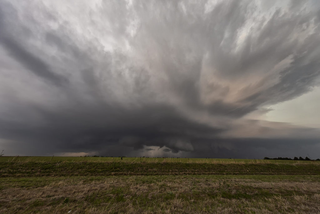
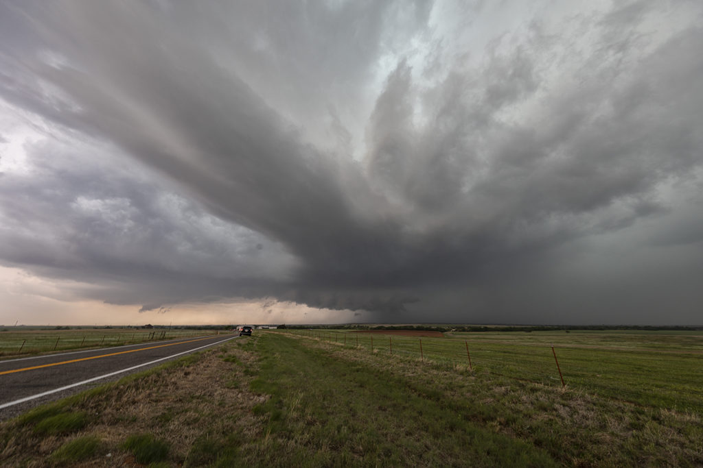
May 1st had a lot of promise. However there were certainly some issues with the set up. Storm mode was unclear near the front in northern Kansas and a strong capping inversion southward along the dryline could result is very short storm lives in that area. We started near Great Bend and jumped on a storm that formed northeast of Dodge City. It quickly became tornado warned. Based on initial visuals of the storm, it had little tornadic threat at that time. As the storm moved northeast towards Interstate 70 it really ramped up, getting tornado warned for nearly 3 hours. Rotation was visibly increasing and the structure of the supercell became quite nice. Unfortunately a left moving split further south came crashing into it and basically killed it. Other storms formed north and south, and opting for the usual tail end storm this day proved to be the wrong play. As the tail end supercell moved east away from the dryline, it showed a nice hook on radar and became tornado warned. As we raced south, leaving the messy northern play to get on the tail end storm, it weakened and eventually died. Before dying, it gave us a very nice look at the updraft as it became a low precipitation supercell. 9 out of 10 times this play works. However this day it did not as a cluster of storms north of the interstate rotated and one dropped a significant tornado.
Enjoy the photos as it was a pretty supercell!
May 31st Northwest Kansas Tornado Warned Supercell
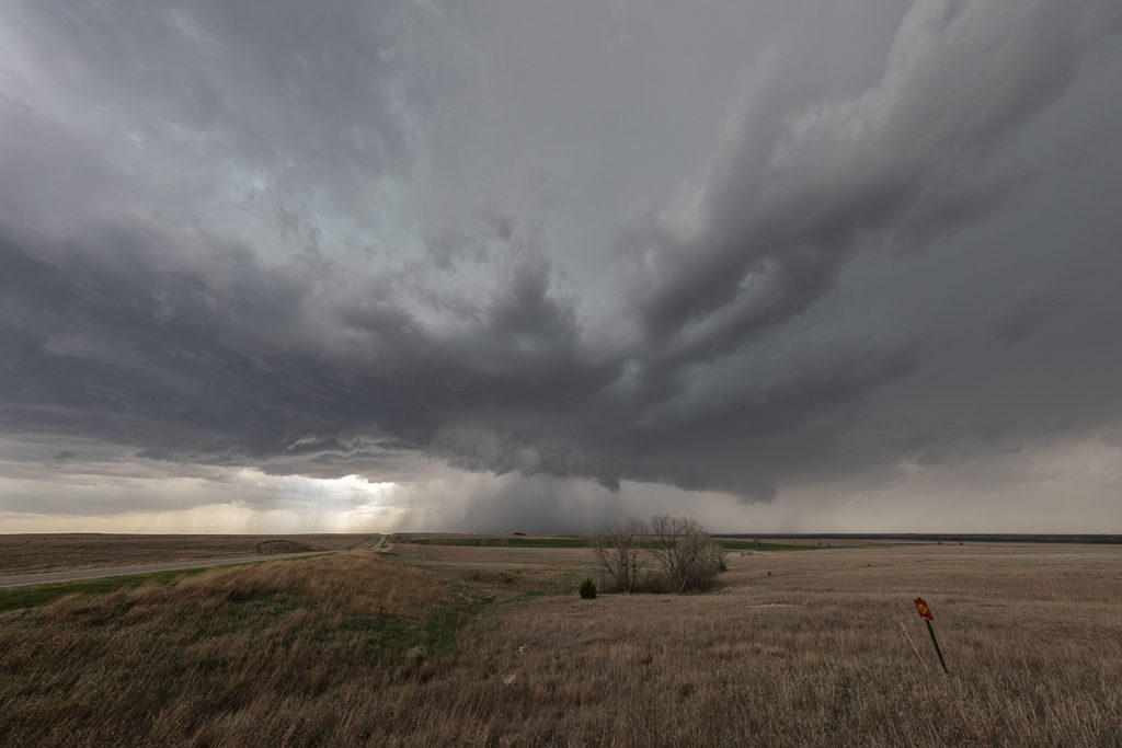
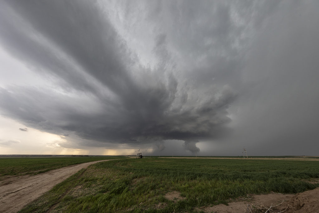
May 31st was an interesting day. An outflow boundary stretched the entire length of the state of Kansas. Along and just north of this boundary strong shear, decent moisture and good instability would develop. The best moisture, but worst shear was in southeast Kansas. That’s where many folks would chase. We decided to head to far northwest Kansas and play just north of the boundary in the upslope flow. It was a move that paid of well. Tour #5 and Photo Tour #2 were treated to one of the best supercells of 2017! This storm went on for many hours and was occasionally tornado warned as well. The inflow into this beast was incredible! Storm structure quickly became top notch as the supercell organized and grew late afternoon. It produced softball size hail and 80 mph winds. We almost had the cell to ourselves! The storm weakened by late evening as it approached Garden City, Kansas as we checked in to our hotel for the night. A great chase! Everyone thoroughly enjoyed this strong supercell!
May 26th Eastern Colorado Tornado Warned Supercell
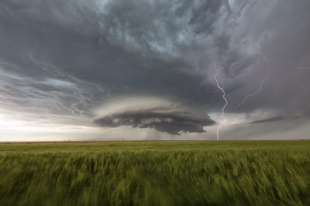
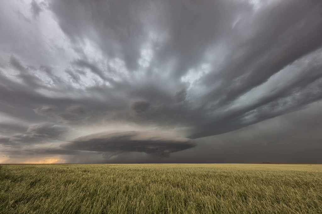
May 26th took us to eastern Colorado to play upslope off the Palmer Divide. Strong shear, decent moisture and instability would set the stage for several severe storms. The best of these would form and move into far east central Colorado by later afternoon. Although higher based, this supercell would become tornado warned and produce a couple brief spin ups. Hail was up to baseball sized and the structure was very nice. The storm eventually merged into a cluster as it moved into western Kansas during the evening.
May 20th South Texas Supercells
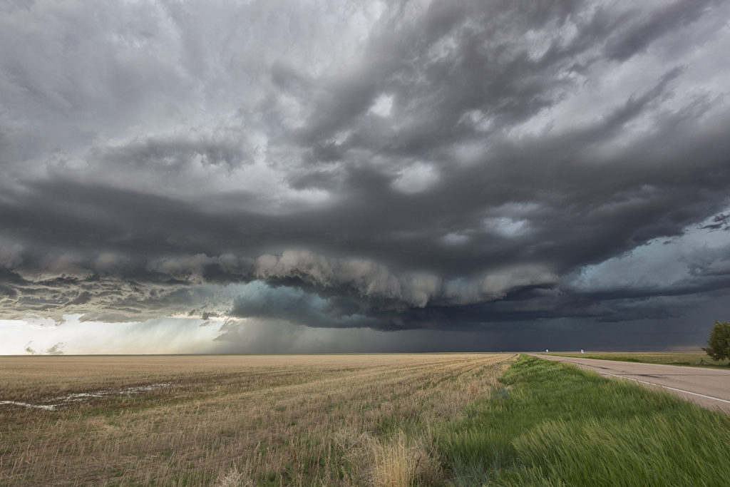
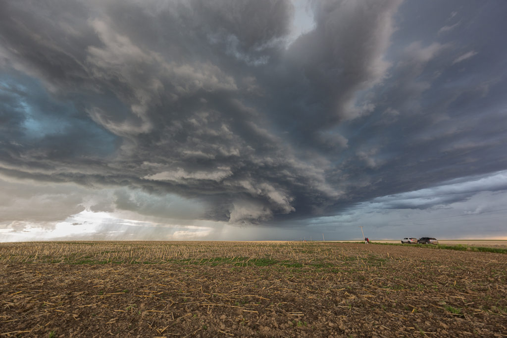
May 20th took Tour 4 and Photo Tour #1 to far south Texas. This is an area we don’t frequent too often due to usually poor results. Murky skies, little shear and messy storms are what often occur here. Today would be different though! Abundant moisture, high instability and moderate wind shear would kick off storms off a cold front and push them southeast. We arrived near George West, Texas to be treated with a very pretty supercell!! This storm had classic supercell structure and was a lightning/hail machine! We stayed with the storm for a few hours till it dissipated south of town. One of the prettiest supercells of the season to date!
May 18th Oklahoma Tornadic Supercells
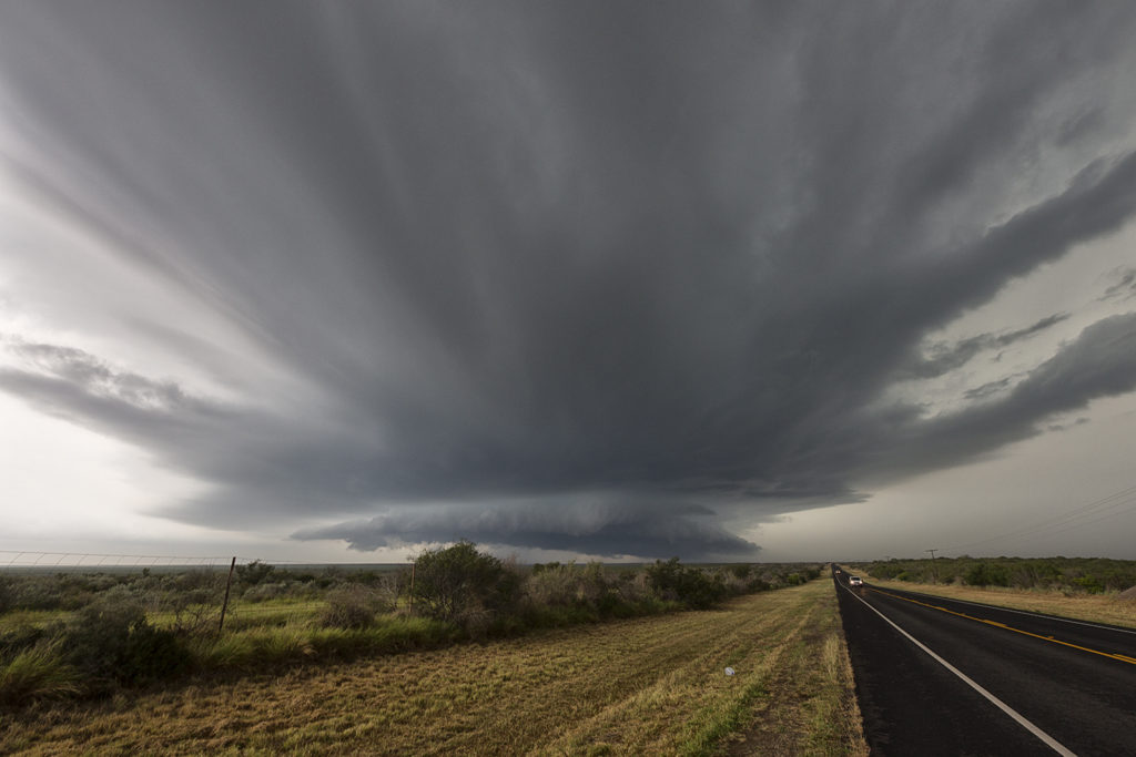
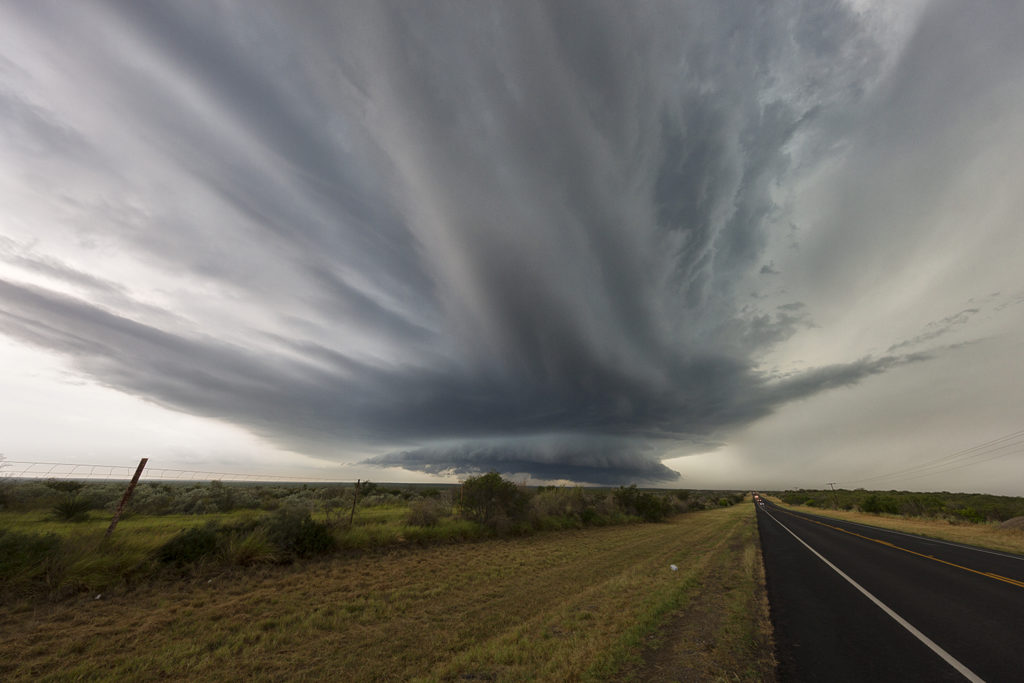
May 18th had amazing potential. Great shear, moisture and instability would be present on a day that SPC had a High Risk out for. The main caveat would be too many storms firing too fast, making for a very messy day. We started the day near Clinton, OK and would chase the first supercell, and most tornadic, southwest of there. This storm produced a couple of tornadoes early on, then too many cell mergers would result a messy modes. It seemed that would be the result of this day, where very few tornadoes would actually occur. After chasing the initial supercell, we dropped south towards the Red River to intercept a supercell that was also tornado warned. Again too many cells on it’s upshear flank would make a messy situation on this storm as well. Still, it was a fun chase day with results that certainly didn’t support the High Risk issued.