Tag Archives | May

May 16th Elmer, Oklahoma Violent Tornado

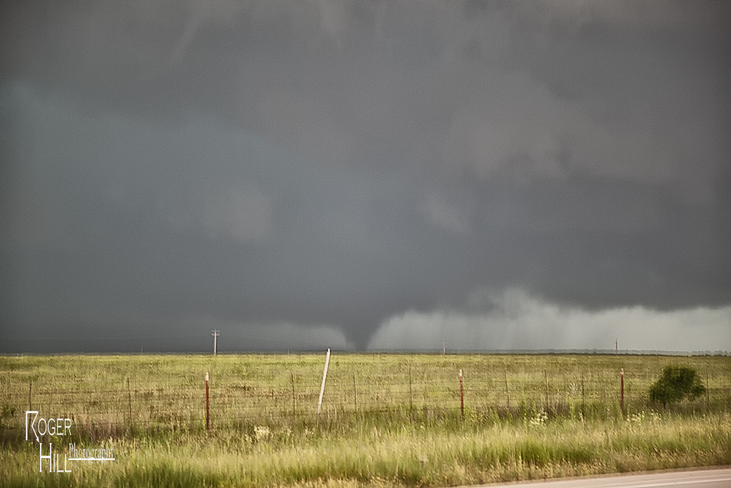
An amazing day was to unfold across southern Oklahoma on May 16th.  A dryline and outflow boundary intersection would become the favored point for intense supercell storm development by late afternoon. We cut east to get in front of the Elmer, OK storm and watched as the updraft started spinning wildly. Within a few minutes a very large tornado formed just southwest of town. This tornado would grow to enormous proportions and skirt the south side of town on its way towards Snyder. We were on the north side of the tornado as it moved northeast and had an amazing view! Soon, though the approaching tornado would require us to move eastward along its path and it continued to give us a fanastic view!

After the storm became messy, we dropped south to Walters, Oklahoma where a beautiful supercell, highly striated, would produce a cone tornado. It was a day nobody on tour will ever forget! To see and hear the raw power of a violent tornado is something to remember forever!


May 13th, Abilene, Texas Tornado Warned Supercell

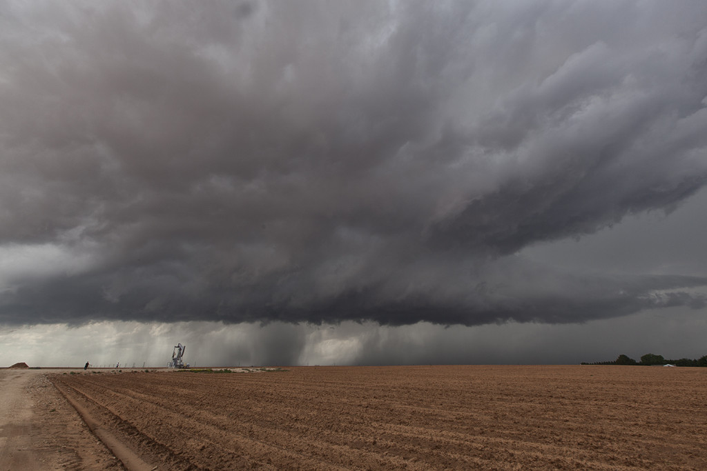
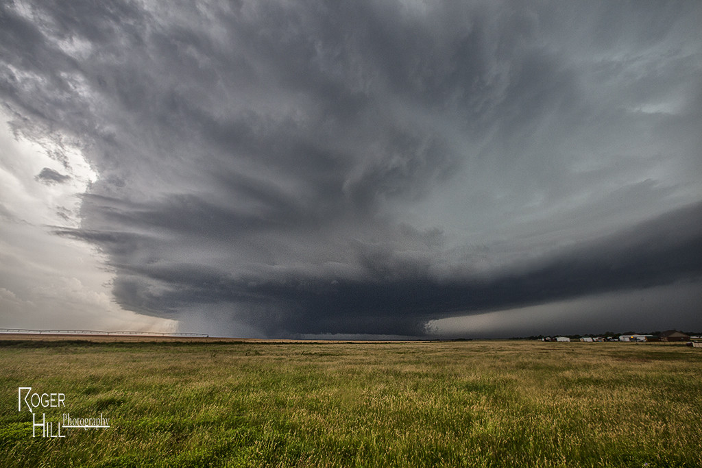
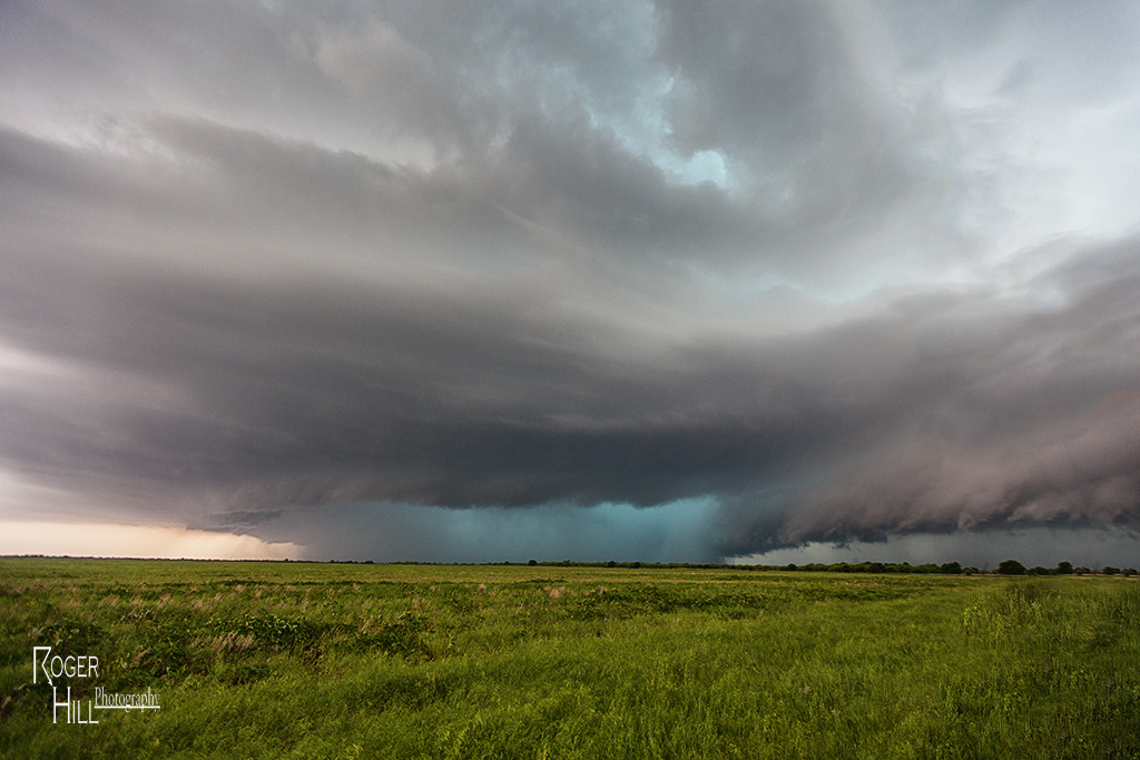
May 13th was a day that really didn’t look like it had much potential. A fairly poor combination of shallow moisture and weak shear should have resulted in little threat for tornadic storms. We decided to chase along a boundary that extended from east of Ft Stockton to east of Lubbock. Late afternoon several storms formed along the boundary, with an intense supercell near Blackwell, Texas. It quickly became tornado warned as it traveled northeast towards the Abilene area. The storm produced funnel clouds and had nice structure. It was also quite electrified as it churned across the countryside near dark. Great chase and a very nice surprise!

May 8th Throckmorton, Texas Tornado

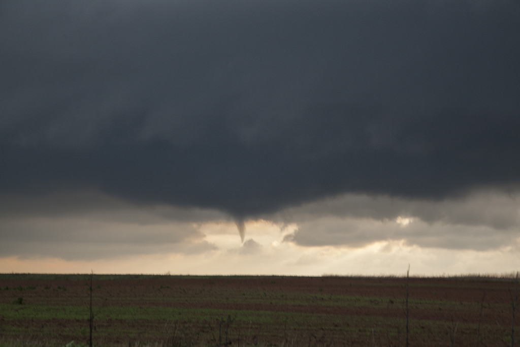
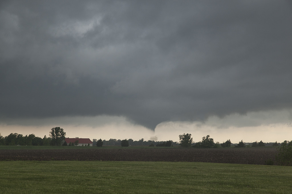
May 8th had significant severe weather potential. Several boundaries would come into play that would focus severe storms and tornado potential. We chose an outflow boundary that extended from near Lubbock eastward to north of Dallas. A supercell storm formed along the boundary and became quite intense. As it moved eastward along the boundary it produced a tornado just north of Throckmorton, Texas. It was on the ground for several minutes and became fairly significant as it eventually wrapped in rain.

May 6th Southern Kansas/Oklahoma Tornadic Supercells

A complicated scenario was unfolding this day. Chase well north along the warm front or play south on the nose of the dry punch. We chose the latter. By mid afternoon storms exploded freely in the warm sector and produced a few tornadoes. We intercepted one tornadic storm near Goddard, Kansas, followed by a beautiful supercell near Renfrow, Oklahoma. Fun and exciting day for everyone!


May 5th Luther, Texas Tornado

Tour 2 got a special treat this day. We spent the night in Big Spring, Texas and waited for the skies to clear behind a large complex of storms. It did by noon, and the outflow boundary/dryline triple point starting developing cumulus towers by early afternoon and an amazing supercell formed and produced a gorgeous tornado! It was on the ground for nearly 20 minutes while churning across the countryside.


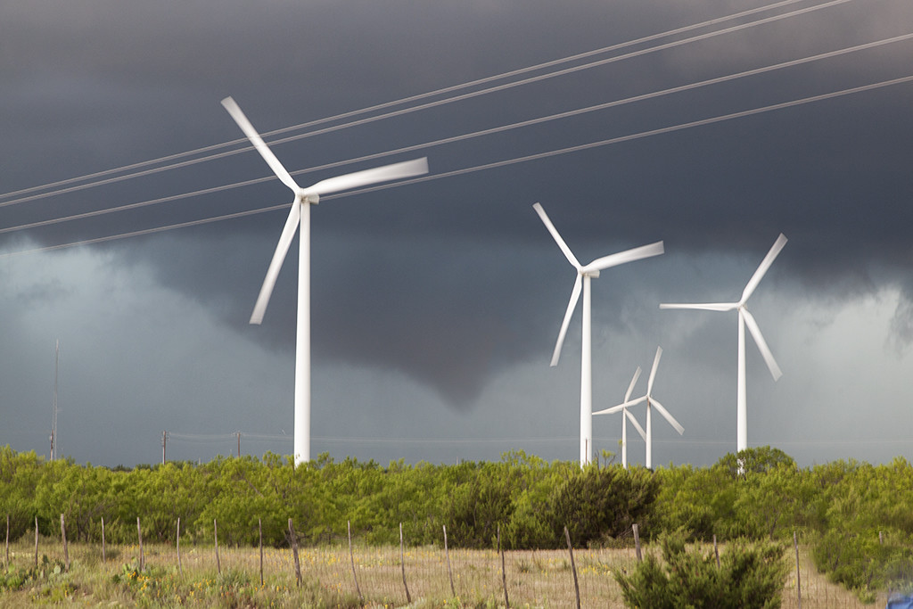
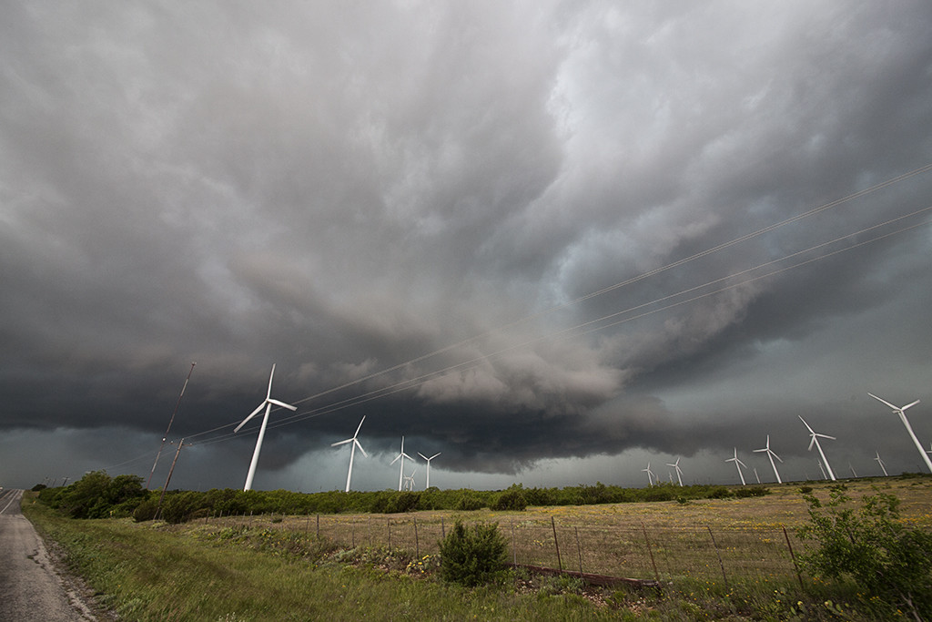
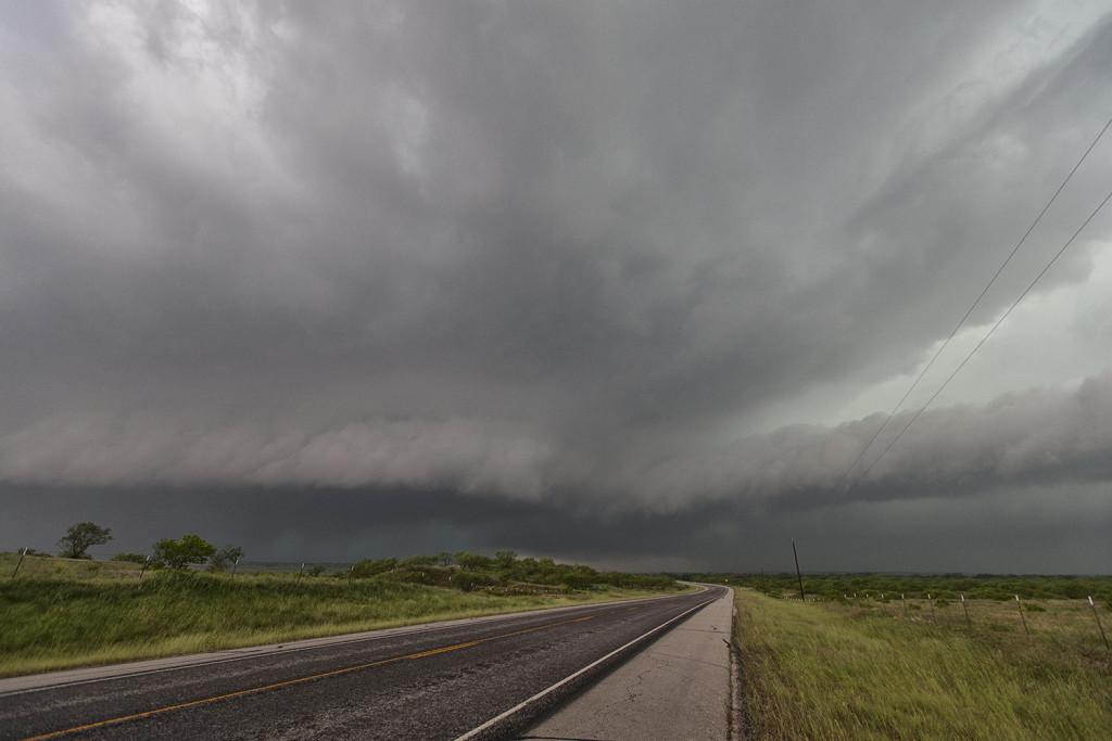
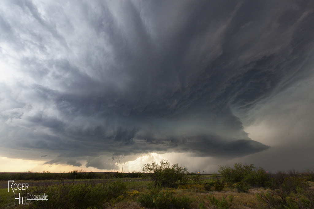
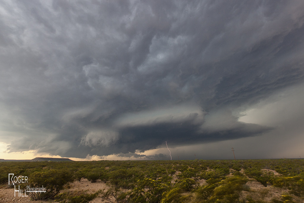
May 4th Southwest Texas Tornado Warned Supercell

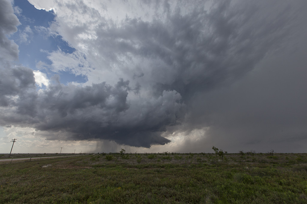
May 4th took Tour 2 down to far southwest Texas. Upslope flow into the Davis mountains would produce several supercells, with one particular storm riding southeast from the mountains and becoming tornado warned for hours. It exhibited good rotation, had decent structure, great lightning and huge hail, but just couldn’t focus long enough for tornado production. Still, it was a great storm for the Caprock Magic tour guests!