Tag Archives | Colorado

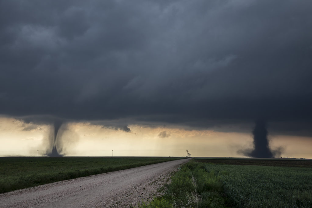
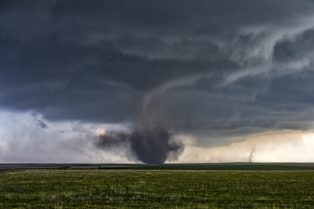
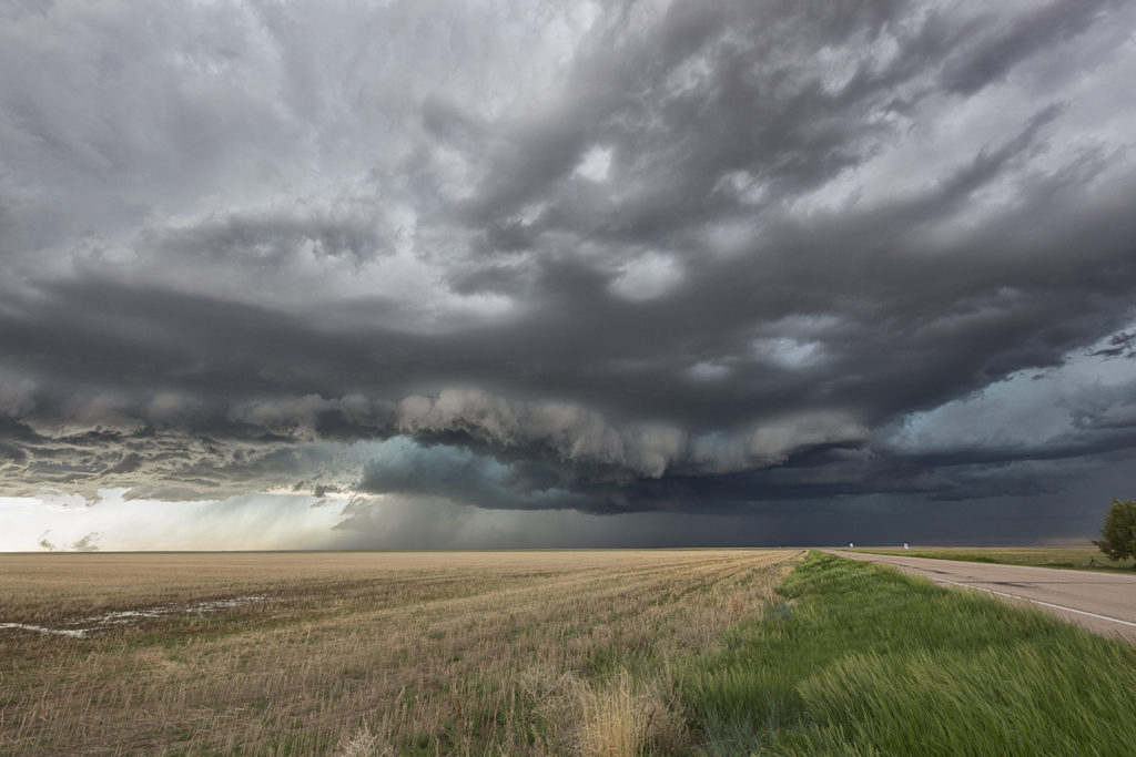
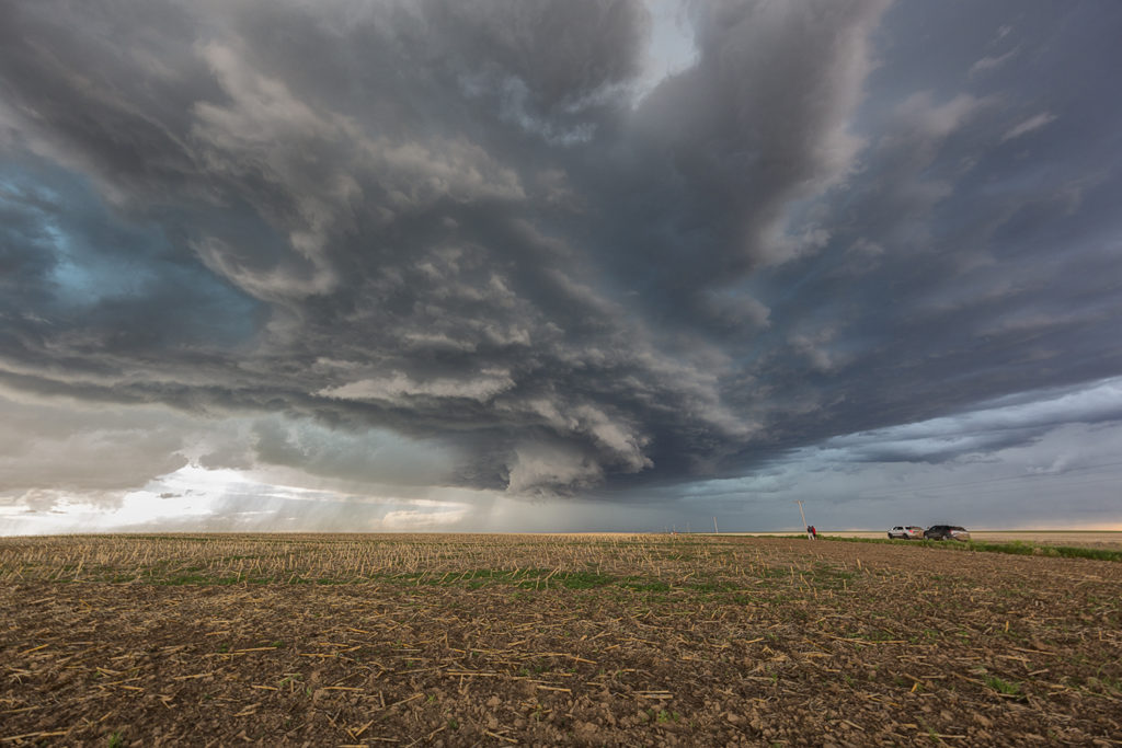
May 28th Eastern Colorado Tornado Outbreak

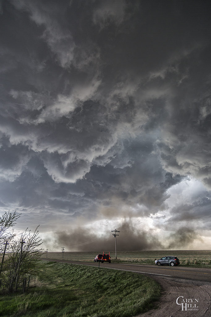
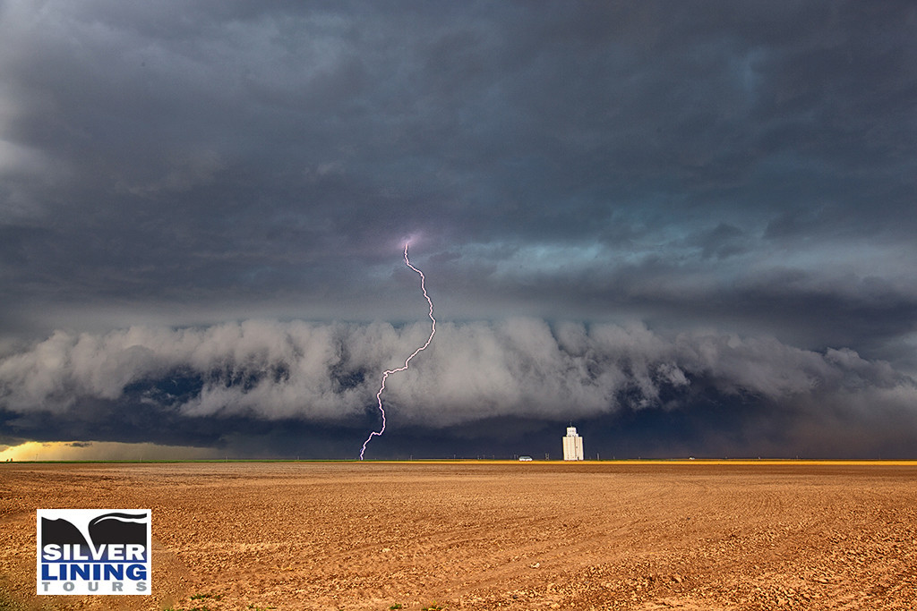
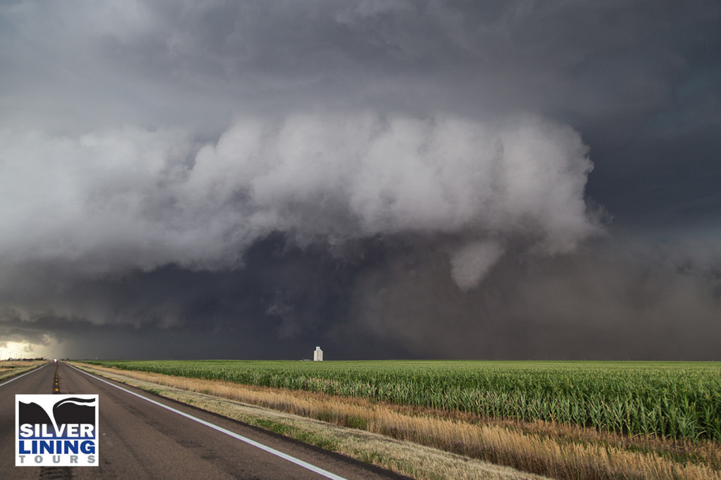
May 28th had good potential. An outflow boundary laid across eastern Colorado from north of Seibert, Colorado to Colby, Kansas and points east. Great shear, instability, moisture and lift along the boundary, as well as the dryline extending south from Oakley, would allow numerous storms to form. A couple became tornado warned in far eastern Colorado. One particular supercell anchored itself north of Seibert along the boundary and became a tornado machine. We were on the scene early and watched as numerous tornadoes formed, with up to 3 on the ground at the same time (Total of 11!!). Several of the tornadoes were actually landspouts (nonsupercell tornadoes), however a couple certainly had mesocyclones and were therefore supercell tornadoes. It was an amazing sight for our guests to witness as we were able to get within a mile of a few tornadoes, and within a half mile of one stronger tornado!  Please enjoy the photos from this amazing event!!!!!

May 26th Eastern Colorado Tornado Warned Supercell

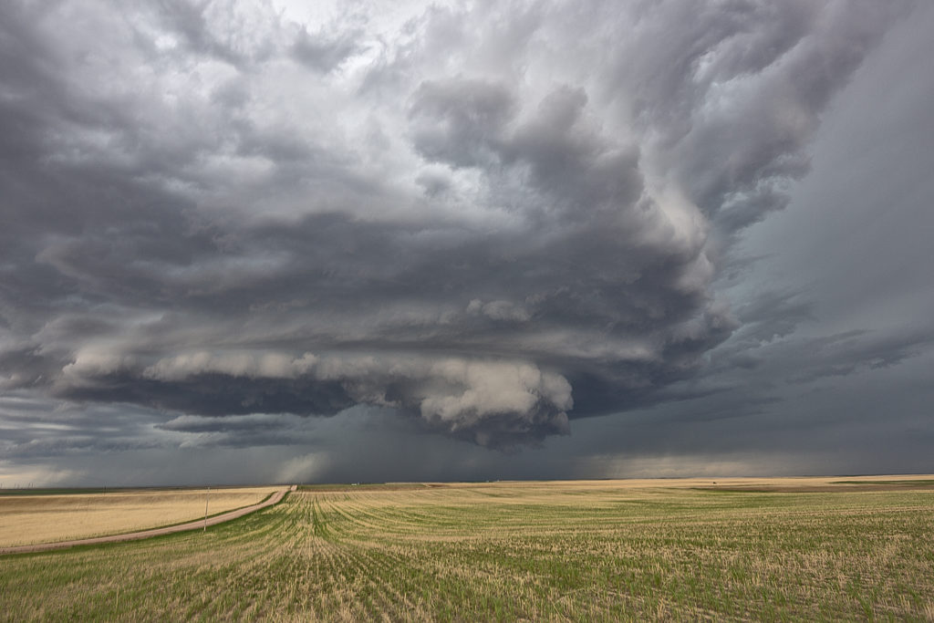
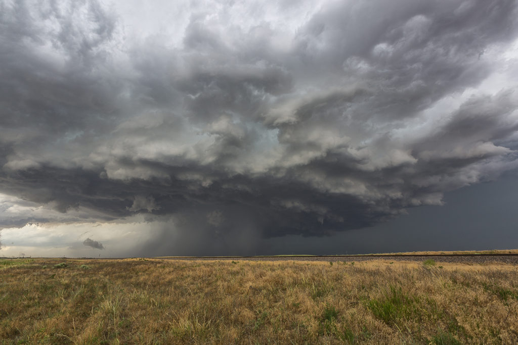
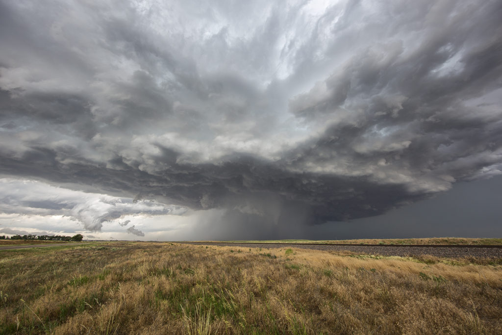
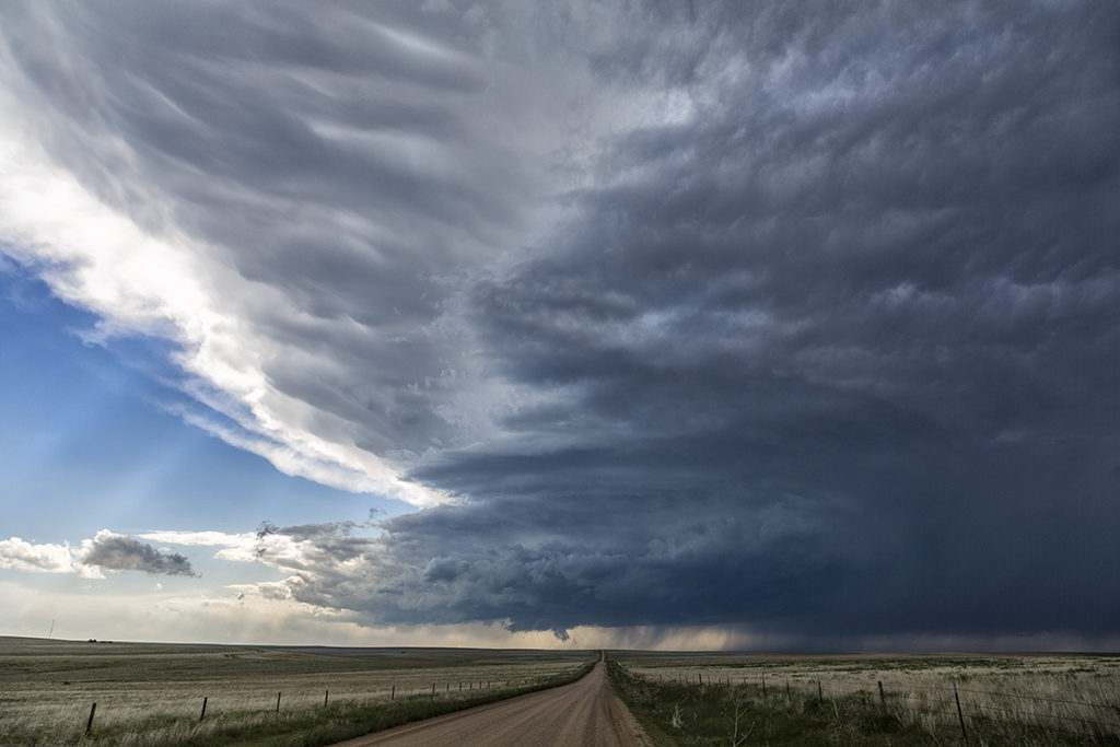
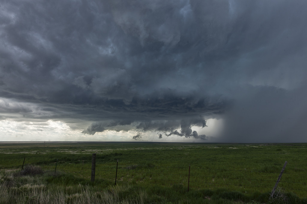
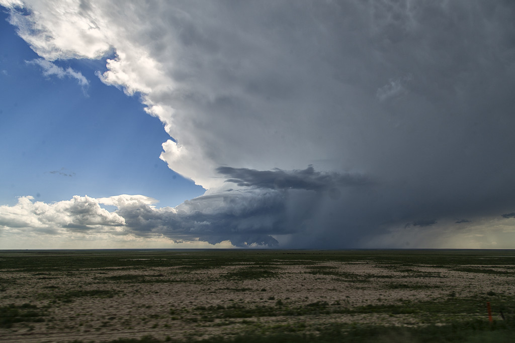
May 26th took us to eastern Colorado to play upslope off the Palmer Divide. Strong shear, decent moisture and instability would set the stage for several severe storms.  The best of these would form and move into far east central Colorado by later afternoon.  Although higher based, this supercell would become tornado warned and produce a couple brief spin ups.  Hail was up to baseball sized and the structure was very nice. The storm eventually merged into a cluster as it moved into western Kansas during the evening.

May 8th Eastern Colorado Tornadic Supercell

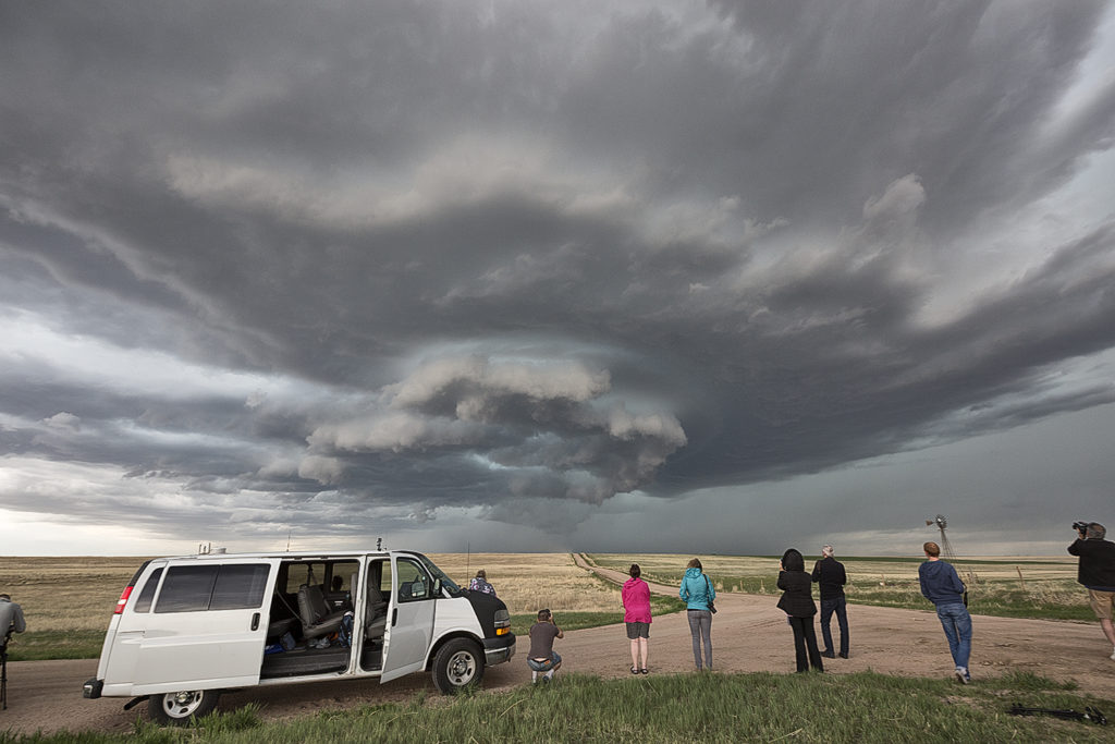
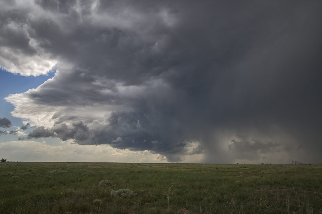
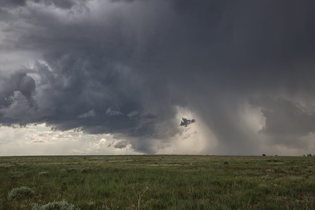
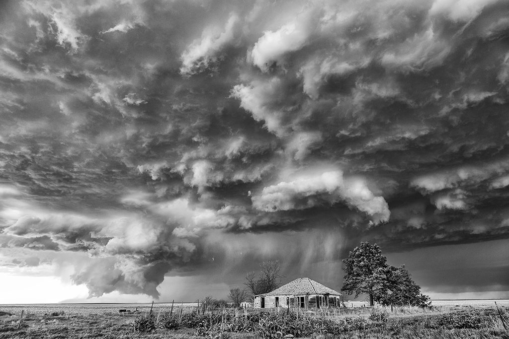
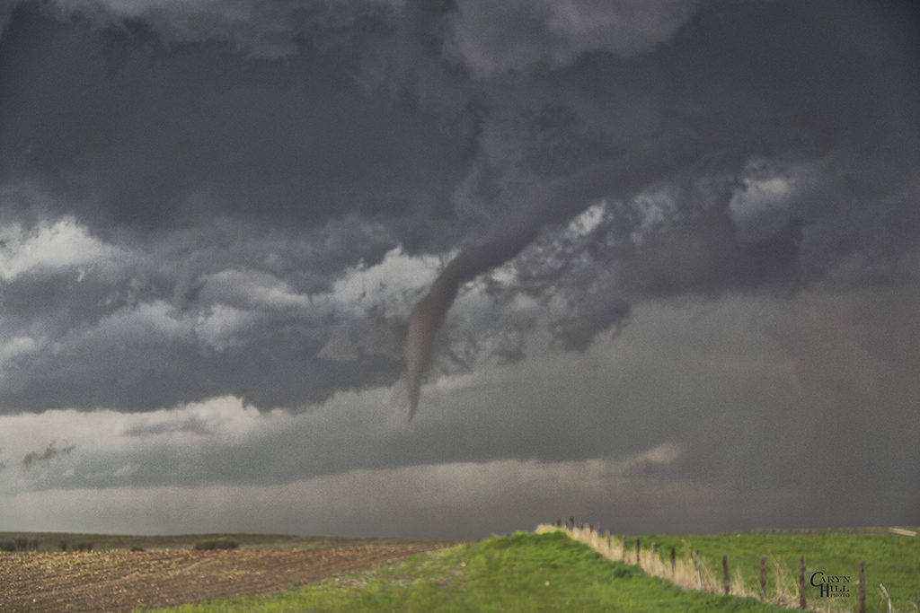
May 8th had potential in Colorado, as well as eastern New Mexico. It was the first day of Tour 3, and we decided to play the Palmer Divide area. Decent shear, moisture and instability would set the stage for intense severe storm development by mid afternoon. With a 650 mile drive from Oklahoma City, Tour 3 guests made it in time for a beautiful long lived sculpted supercell. However, we would miss a brief tornado that SLT Co-owner Caryn Hill caught early in the storm evolution. Sometimes time and distance won’t allow you to get where you would like to before storms fire up. This supercell would mature and produce large hail, strong winds, lightning and gorgeous storm structure. This would be the first of 4 straight days Tour 3 and one of our On Call Tours were treated to tornado warned supercells.

July 17th Northeast Colorado Tornado Warned Supercell

July 17th was a high plains upslope set up. Southeast winds along a boundary would funnel moisture into the Cheyenne ridge. A supercell formed early afternoon near Chugwater, WY and would right turn and track down the boundary into northeast Colorado. This storm was outflow dominant most of its life cycle and was a major hail producer. In Colorado it became tornado warned, although not a big threat in my opinion since it was outflow dominant. We came across some beautiful landscapes to photograph the storm, and everyone had a great time with it. The storm never produced a tornado but it did produce significant hail the size of baseballs along its path.  This was to be the last great day for the season as we wrapped up tours and headed home to Denver. Thank you all for a wonderful tour season. We have the best guests and guides on the planet!

June 27th Southwest Nebraska/Northeast Colorado Tornado Warned Supercells

The first day of the Reunion tour provided a decent high plains set up. Upslope flow into western Nebraska would push 60 dewpoints along a boundary as moderate westerly mid level winds would help generate enough wind shear for supercells. Two such storms formed along the northwest/southeast oriented boundary and would produce giant hail to softball size. Both supercells were tornado warned with the second storm producing a confirmed tornado near Eckley, Colorado. Structure was decent as well. We came back through the area the next day to find thousands of acres of cropland shredded to the ground, mostly corn. Sometimes hailstorms can produce more significant damage than a tornado can. This was the case with these storms.

June 13th Pueblo, Colorado Severe Storm

Colorado was our destination on June 13th. We found ourselves chasing close to home near the Pueblo area. An early day storm had produced a tornado near Trinadad, but we couldn’t make it there fast enough. We caught a marginal supercell as shear had increased. However low level moisture and instability were still very low for mid June standards. nonetheless this storm produced golfball sized hail, lightning and heavy rains.

May 24th Eastern Colorado Tornadic Supercell

May 24th was a day that had huge potential. Unfortunately there were two pretty clear targets. Play the upslope in eastern Colorado for what would certainly be a pretty tornadic supercell, or play southwest Kansas with high instability along an outflow boundary. Fortunately we had two tours going at that time, Tour #4 and also Photo Tour #1. After considerable discussion Photo Tour #1 headed for Colorado while Tour #4 headed for southwest Kansas. Both tours scored big this day!  Upon arrival in Colorado Photo Tour #1 intercepted an intensifying supercell east of Denver. This storm would become a formidable supercell that would cycle multiple times and produce a half dozen tornadoes.  As this storm approached an area south of Ft Morgan it began it’s tornadic phase as it intercepted better moisture and instability and the storm’s base came down. the Photo Tour, true to its name, found numerous beautiful places to photograph this supercell and it’s tornadoes all the way out towards the Kansas border. It kept producing tornadoes off and on the rest of the day and into the evening. Nothing wilder than night time tornadoes. Finally as it moved into northwestern Kansas, the Photo Tour dropped off it and headed to their night destination.


May 7th Wray, Colorado Tornadoes

On May 7th we had high hopes for something big to happen. It certainly did not disappoint! Numerous storms formed early afternoon along and south of a warm front draped over eastern Colorado. Upslope flow was deep, while shear, instability and moisture were quite good as well. Too many storm interactions early in the afternoon caused messy modes, with several tail end supercell type storms to form and be the ones that produced the most severe weather. A cluster of cells near Ft Morgan early in the afternoon would produce tornadoes along the warm front, but we decided to target more southern tail end storms that were receiving the best feed of air.

Late afternoon, our on call tour led by Caryn Hill would intercept a supercell south of Wray that would produce a pretty elephant trunk shaped tornado. It would die off fairly quickly before the main show would start. A mixture of supercell and nonsupercell tornadoes would form, nearly a half dozen in all. The final tornado is one that has been well publicized, a beautiful whitish tornado as seen in the pics below, with a reddish debris cloud nearly to cloud base!  Remember SLT will get you there!

July 19th Western Kansas Severe Storm

July 19th took us to southeast Colorado and southwestern Kansas. Although the set up wasn’t stellar by any means, there was enough shear, instability and moisture to support severe storms, including supercells. Mid afternoon south of Seibert, CO a supercell formed and tracked southeast. It eventually merged into a line of storms with embedded supercell structures as they marched all the way to Garden City, Kansas. Near the town of Tribune, Kansas on cell in the line spun pretty strongly and produced 80 mph winds, baseball hail and even a funnel cloud. This was a nice way to wrap up the Great North Tornado Hunt tour as the guests got to see a little bit of everything on this tour!


June 11th Southeast Colorado Supercell

June 11th had issues, but still produced some nice storms. Marginal moisture, but decent shear overlaid eastern Colorado. By mid afternoon storms formed along a boundary that stretched across east central and southeast Colorado.  One particular supercell tracked along the boundary from north of LaJunta to far southeast Colorado. It struggled to stay on the moist side of the boundary occasionally, but managed to be quite a prolific hail producer. Never a real threat to produce a tornado, it did however manage to produce several short lived funnels. By early evening a cluster of storms formed south of Lamar. A tail end storm became a powerful supercell and was tornado warned for a couple hours. Visually it was stunning with constant rotation under the updraft. Two tornado reports came in, however they were not validated.  As the supercell tracked into southwest Kansas, it became an outflow dominant storm and produced significant winds.