
May 13th Texas Panhandle Supercells
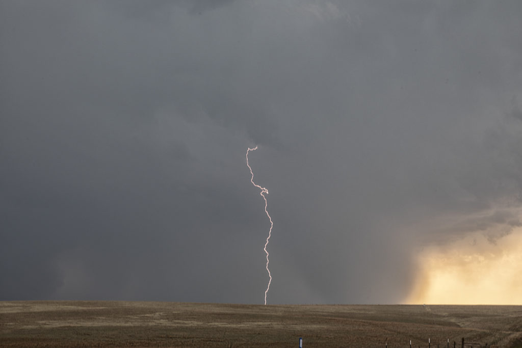
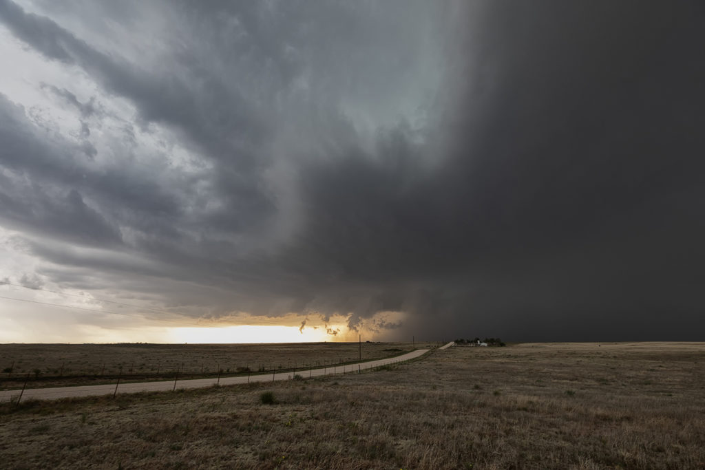
May 13th brought a good set up with strong convergence, good instability and moisture, but weak shear. This would result in high precipitation storms nearly anchoring across the Texas panhandle into south central Kansas. These storms would produce copious amounts of huge hail, high winds and especially flash flooding. Due to weak low level shear, they would not produce tornadoes. One particular supercell grew to a very large storm. A second storm was south of it and the inflow was so strong from the main supercell it pulled to southern storm into it and completely destroyed it! Crazy to see this happen! The large storm became a formidable high precipitation supercell as it slowly moved east towards the Oklahoma border. Lightning was also intense in many of the storms and we were treated to quite a light show as we drove back to Oklahoma City.
No comments yet.