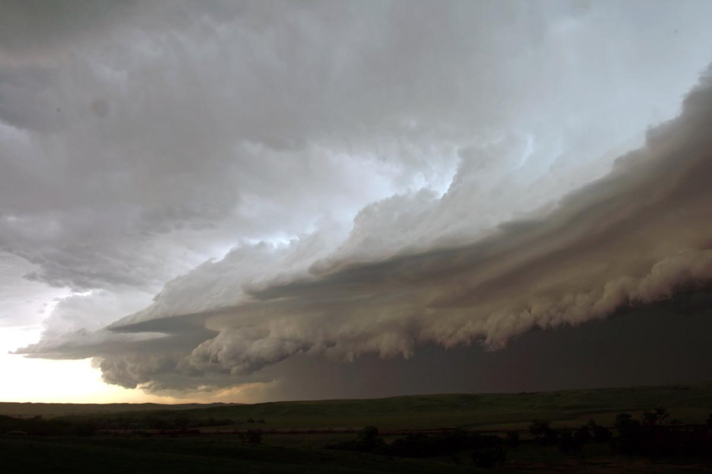
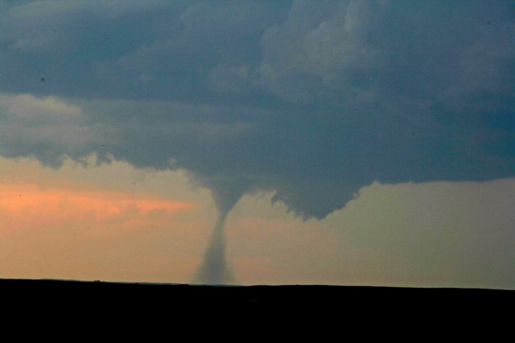
June 6th, 2007 South Dakota Badlands Tornadic Supercell
June 6th had all the ingredients for significant severe storms, including tornadoes. Good shear, a strong wave, good instability and respectable moisture would set the stage for supercell storms. SPC issued a MODERATE RISK and associated tornado watch box for western South Dakota. By 1 PM we had arrived in Wall and stopped for lunch. A couple of small towers were going up south of us. After 45 minutes of our lunch break, a supercell rapidly developed south of town. As we gathered the clients and headed out, it didn’t take long for a tornado to form. This tornado, although not terribly strong, stayed on the ground for 25 minutes. We could never get any closer than 15 miles from it. Later, the storm turned into a monster HP supercell before lining out.


No comments yet.