
June 3rd, Windthorst, Texas Tornado Warned Supercell
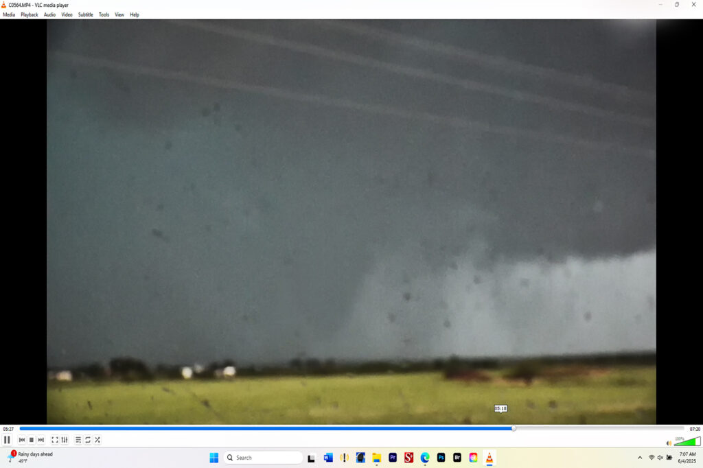
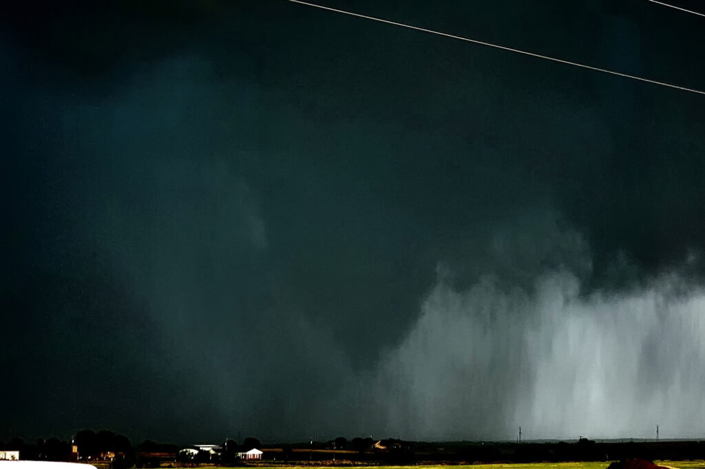
June 3rd looked like a day with abundant moisture and CAPE, but fairly weak shear. We knew we’d need a boundary interaction to produce some rotating storms to get a tornado to form. We dropped south from OKC to Wichita Falls, TX to play a developing supercell. The cell quickly took on an outflow dominant look, so we decided to drop south of it and see if anything else would form. As we did near Archer City, a new updraft formed and merged with the old storm. An outflow boundary surged south from Oklahoma convection and smashed into our newly intensifying cell. Just what we needed! Soon, the low levels started spinning wildly! A couple of small funnels would form and dissipate. Then as rain and huge hail wrapped around the mesocyclone, a large cone funnel formed back in the rain. We could never confirm if it touched down or not, but usually when it is 3/4 of the way down, you would assume there would be a circulation. The darkened pic to highlight the funnel is courtesy of SLT guide James Breitenbach. It is certainly compelling that it could have touched down! Excuse the blurry image as I accidentally hit the focus ring as I sat the camcorder on the dash! Ugh….
No comments yet.