
April 21st Pilot Point, Texas Tornadic Supercell
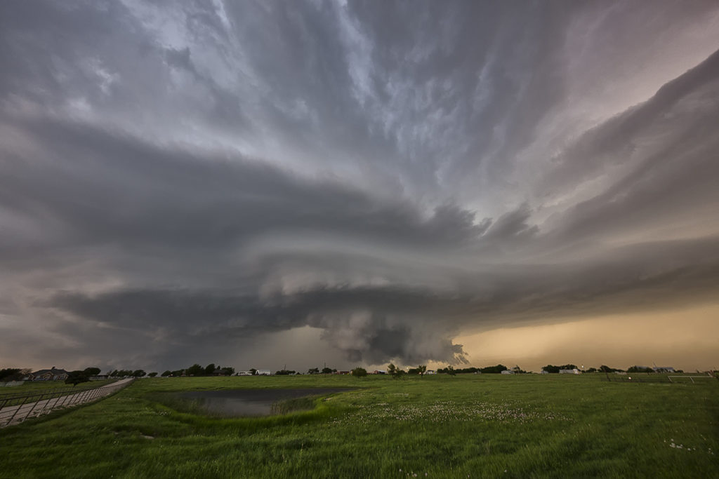
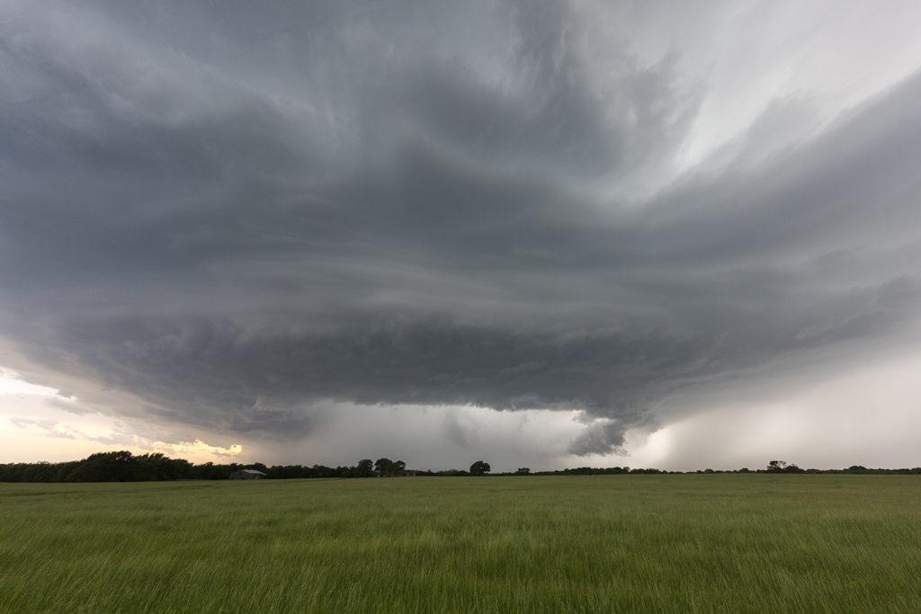
April 21st had high potential. Strong shear, high CAPE and deep moisture would provide the ingredients for intense supercell storms. One storm formed over southeast Oklahoma. We decided to wait it out for later storms to form over northern Texas. A cluster did form with the tail end storm becoming a beautiful HP supercell. It produced a tornado north of Pilot Point, which was mostly rain wrapped. It tried again later in its cycle as you can see from the photos below. Finally, at dusk, another supercell formed and tracked over the region in the dark. Amazingly eery sight watching a storm spin in the dark. Enjoy the pics!
No comments yet.