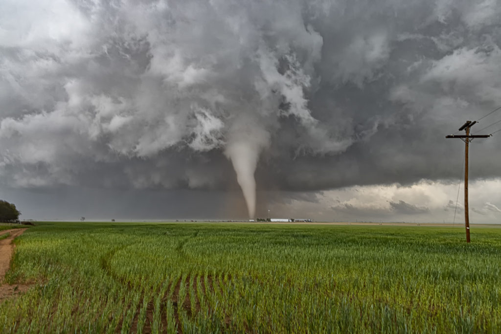
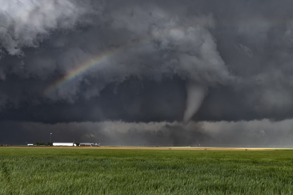
Arrival day for Tour 8 brought us out to chase! The Denver Convergence Vorticity Zone (DCVZ) was active, with steep lapse rates, moderate CAPE and the wind shift to set the stage for severe thunderstorms and nonsupercell tornadoes. Two such tornadoes occurred with early convection that formed along the boundary. Cells developed and back built on the boundary tapping into the vorticity that was present. One tornado was on the ground for about 10 minutes northwest of Last Chance and the second tornado for only a couple minutes to the south of Last Chance. A fun way for tour guests to spend arrival day! We’ll chase every day we can, even if it isn’t a scheduled day. Enjoy the pics!
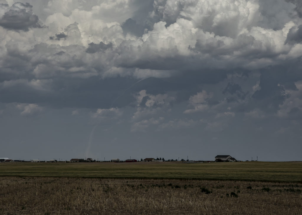
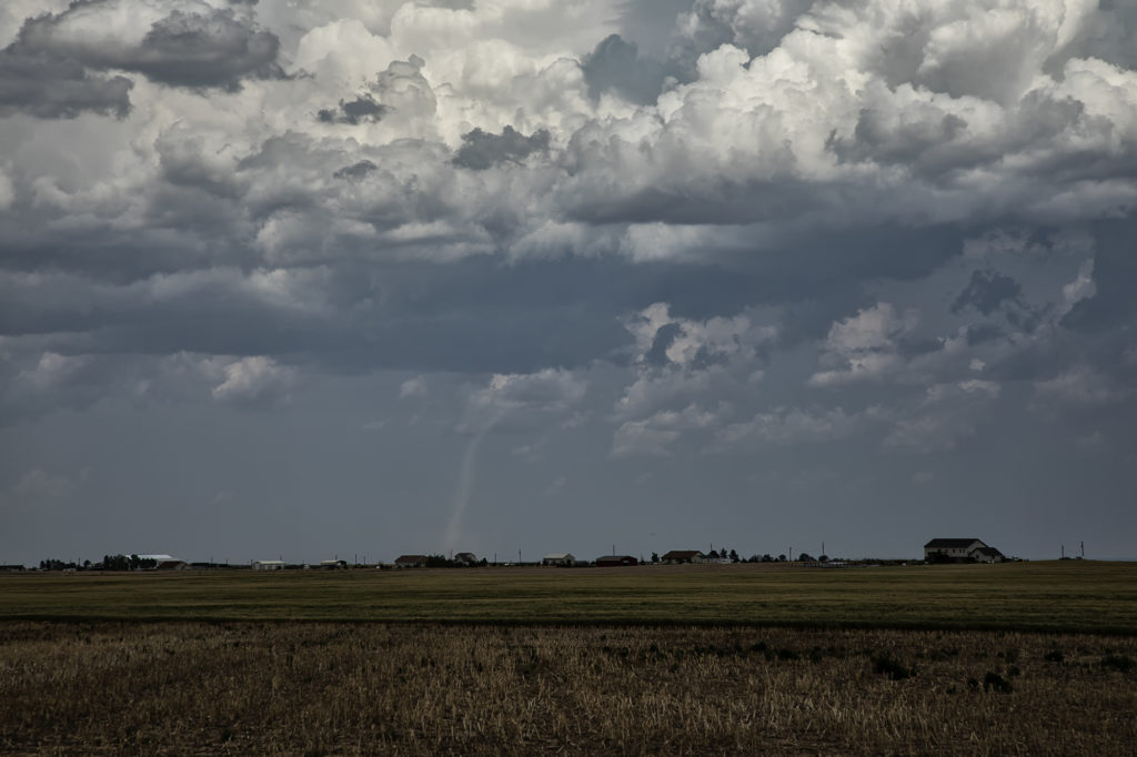
June 10th Alexander, North Dakota Tornadoes
June 10th was a great set up in northeast Montana and western North Dakota. A warm front lay from Glasgow, MT southeast towards Dickenson, ND. Strong instability, good moisture and fantastic shear set the stage this day for multiple supercells and tornadoes along the warm front/dry line intersection north of Wibaux, MT. Cells initially formed all along the boundary, but the northern cells moved into cooler air and weakened. The triple was a storm producing machine firing off one supercell after another as they each matured and some became tornadic. The first tornado was my favorite, coming over the hills near the Roosevelt National Park area and was quite visible. The second tornado was a bit further away and choked with rain and very large hail, making photos hard to see. Nonetheless, it was a spectacular day and great results for Tour 7! Enjoy the photos!
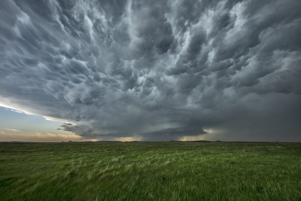
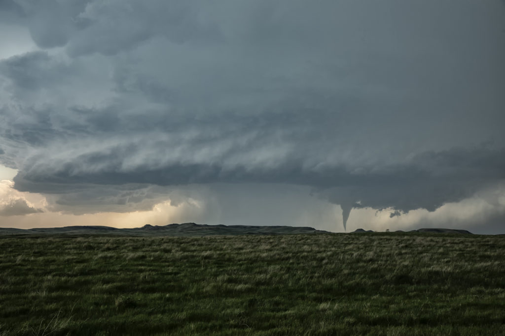
May 31st Ft Stockton, Texas Tornadoes
May 31st took us to the Davis Mountains of southwest Texas. Good upslope flow, along with ample moisture and instability, would provide the needed ingredients to get tornadic storms to form. Good low level wind shear caused this supercell to spin like a top, and as it moved off the mountains into the nearby terrain, it produced 3 tornadoes that we could see. The road network is very poor in this part of Texas, so you had to position yourself where you could see what was happening. Most of the time we were at least 10 miles away from the tornadoes because of this. Nonetheless, it was a spectacular sight to watch this storm roll across southwest Texas. Enjoy the pics!
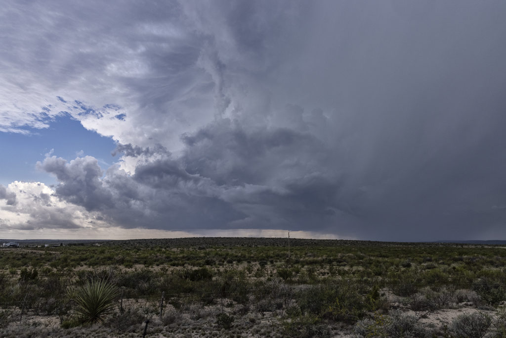
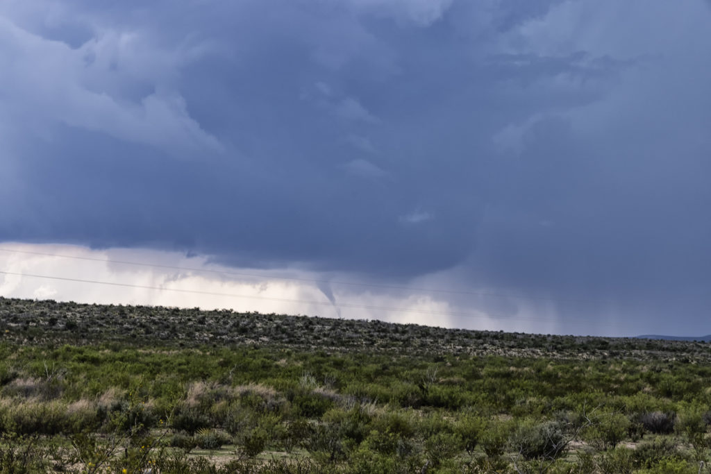
May 30th Roswell, New Mexico Tornadic Supercell
May 30th was the first day of Tour 5 leaving from Denver. It was a long drive to our target of Roswell, NM, but we made it just in time. A tornadic supercell formed west of town and tracked east/southeast. A couple of tornado reports were made and I can’t argue with them. A few spin ups under the updraft occurred as rotation was strong above them. Good CAPE, moisture, and a boundary set the stage for this supercell to form. Nice structure and huge hail also fell from this cell. As it moved east later in the day, it weakened and another supercell formed on it’s outflow. This storm was jaw dropping gorgeous and rolled eastward towards the Texas border in the evening hours. A fantastic day after an extremely long drive, but well worth it! Enjoy the pics!
May 24th Southwest Kansas Tornado Warned Supercell
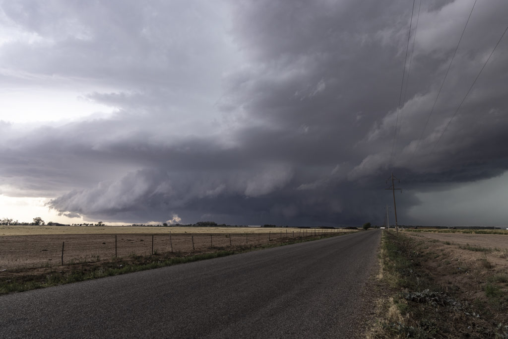
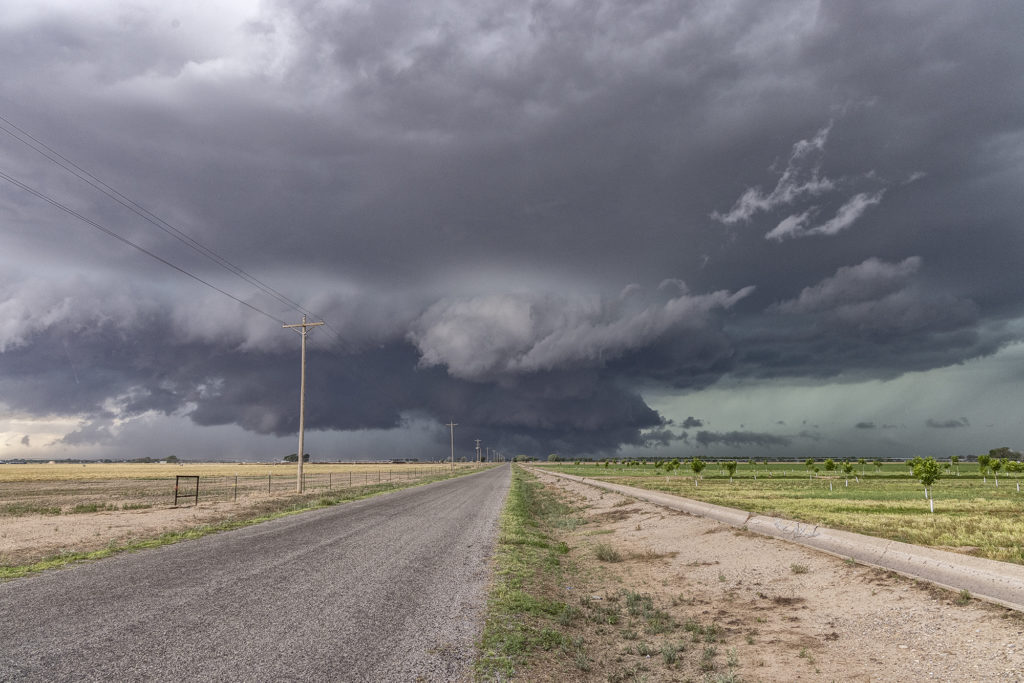
May 24th had substantial potential in western Kansas. A very moist and unstable airmass would develop over the region with multiple boundaries around for storms to form and spin on. We chose to play the usual triple point north of Leoti, where the first severe storm of the day formed. The triple point is the location where 3 air masses meet and it typically spawns one of the best storms of the day! It would struggle to sustain itself due to some small capping issues, but it eventually became tornado warned. However off to the north, a supercell formed and drifted north and produced tornadoes near Selden, Kansas. Since it’s a chasing rule never to leave your storm if it has a tornado warning to chase a different one (because, you KNOW what the one you left would do!), we stayed with it. More storms developed west of Garden City and would also become tornado warned. Our storm weakened, as did the Selden, Kansas storm, so south we went to play the tail end storm. What a beauty! Big, wet classic supercell with beautiful structure that would go on through the evening hours! At times the rotation became pretty tight, but it just couldn’t get a substantial tornado to the ground. We stayed with it till dark and then went back to Garden City for the night. Another day, where a secondary target produced tornadoes and the primary target would not. Such is the life of storm chasing! Please enjoy the pics!
May 23rd, Last Chance, Colorado Tornadic Supercell
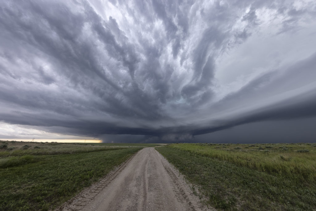
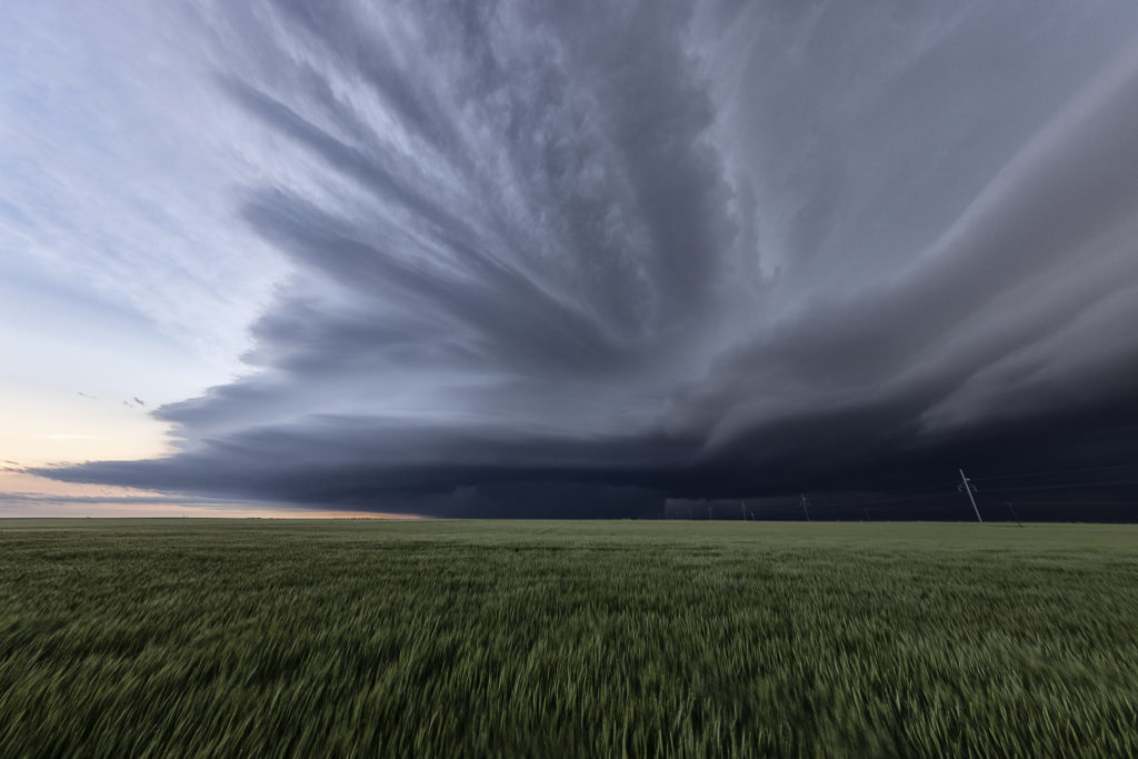
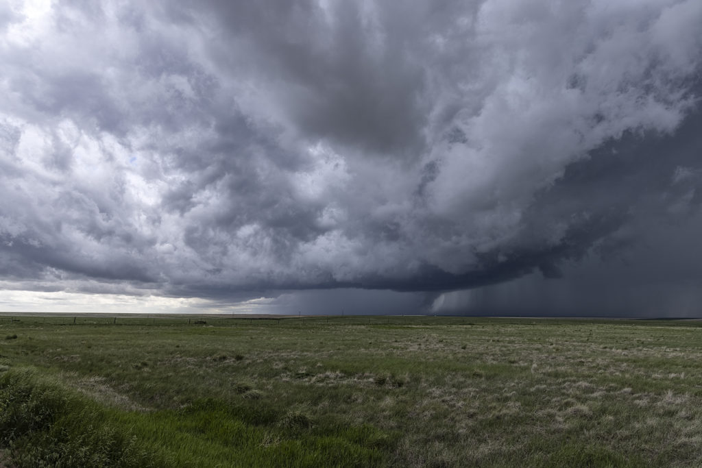
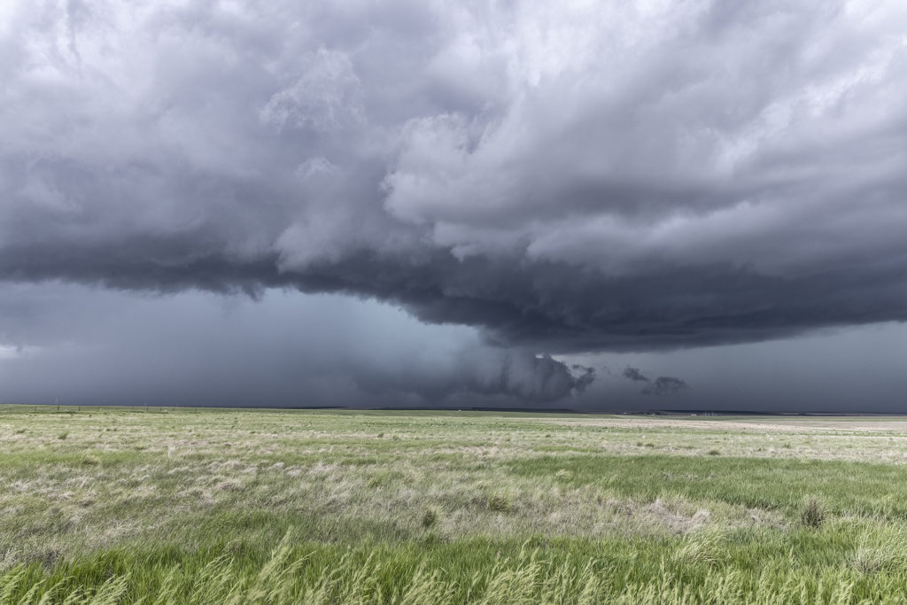
May 23rd had great potential in Colorado and western Nebraska. A strong upper low over the Rocky Mountains would draw in large amounts of moisture, while the lift and diurnal heating would generate large amounts of instability. The upper flow was weaker than we would like, which would likely result in high precipitation type supercells, very dangerous storms. A tornado watch was issued before noon and the initial storms formed east of Pueblo, CO. Fast motion carried them towards Limon and points north where one supercell emerged. This storm had a nice wall cloud and tail cloud and had a couple of funnels/weak tornadoes under them. The storm became strongly HP in nature so we eventually left it for points south where shear would allow more isolated updrafts with better visibility under them. All in all, this day under produced, which we were afraid of due to the weak winds aloft. However, any day where you catch a tornado, no matter how brief it was, is always a good day! Enjoy the pics!
May 16th Sudan, Texas Tornadic Supercell
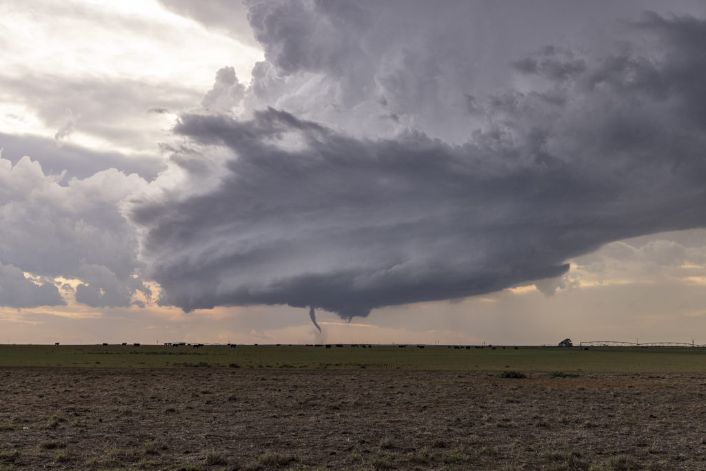
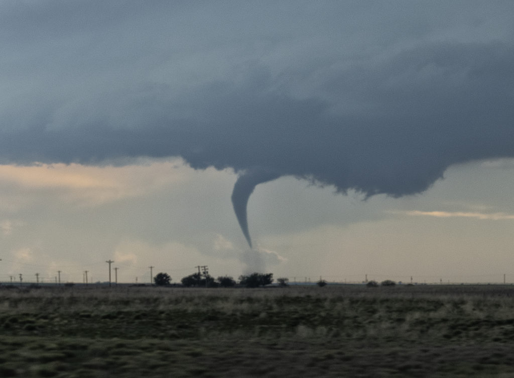
What do storm chasers and cattle rustlers have in common? Well, we found out this day and it almost cost us a pretty tornado! Seems the locals didn’t know that we were storm chasers and called the county sheriff to report us as suspicious parties and potential cattle rustlers? WHAT???? Seriously! We were pulled over by the sheriff and local police and asked who we were and that we were potential cattle thieves. After proving who we were with the sheriff, who also asked for a business card, we were turned loose and blasted west to this tornadic supercell. We ended up 10 miles away from the tornado as we lost 25 minutes with our cattle rustler situation, but we still captured the beauty of the event! Storms initially formed as high based and disorganized, but a feed of moisture arrived just in time to cause this storm to explode. It also spun quickly and dropped a nice elephant trunk shaped tornado. The storm structure was top notch as this LP supercell churned on through the evening. A great treat, an interesting day to say the least, left our guests with stories to tell LOL!!! Enjoy the pics!
May 8th Central Kansas Tornado Warned Supercells
May 8th took us to central Kansas along I-70. Good shear and convergence along a boundary would provide the focus for severe storms. However limited moisture and instability would eventually temper the overall threat. A supercell formed at the triple point southwest of LaCrosse, KS. It looked like THE storm to be on, however, it ingested dry air and died a couple hours later. Outflow from a decaying cluster of storms over northern Kansas would fire off several supercells in the daylight and darkness, of which a couple became tornado warned. There was little threat of a tornado due to the high bases of these supercells. They did produce baseball sized hail and a lot of lightning. Fun day for Tour 3! Enjoy the pics!
April 27th North Texas Tornadic Supercells
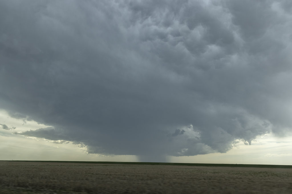
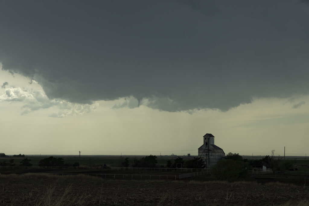
April 27th looked like a day with potential. Decent moisture, instability and shear would exist across northern Texas, with a mixing dryline situated from east of Lubbock to west of Oklahoma City. We headed to Childress to evaluate. We weren’t there long when a cluster of storms formed east of Lubbock. We blasted southwest towards Paducah, Texas to intercept these storms. The lead storm became supercellular and right turned towards Guthrie. We dropped south to position ourselves looking down the notch of this beast. As we set up to watch it, cgs starting raining down on us and the storm became tornado warned. We blasted east to just past Benjamin where we turned north to get in front of this supercell. We arrived to strong inflow and a big block shaped wall cloud with a rain wrapped tornado under it.
We stayed in position until the storm was almost on us then we headed back south and east. As the storm approached Electra it weakened so we let it pass. More storms were firing up along the boundary to our southwest and we waited for them to approach. One supercell dropped a brief tornado about 2 miles from our location. We dropped south after it passed to play more supercells along the boundary and were treated to a great lightning show after dark. Fun day, no major damage despite a couple tornadoes and huge hail! Enjoy the pics!
April 23rd Northwest Texas Tornado Outbreak
April 23rd kicked off our storm chasing tour season and what a way to start! After leaving Oklahoma City at noon, my target was the triple point somewhere near Childress, Texas. Mid afternoon, updrafts formed and quickly became severe and tornado warned. It tried on the first tornado warning to produce one, but shear just wasn’t quite right yet. Decent moisture for late April with mid 60s dewpoints, as well as 3000 CAPE was sufficient to get intense supercells to fire. I had a hunch this storm would be special
and we stuck with it the rest of the day.
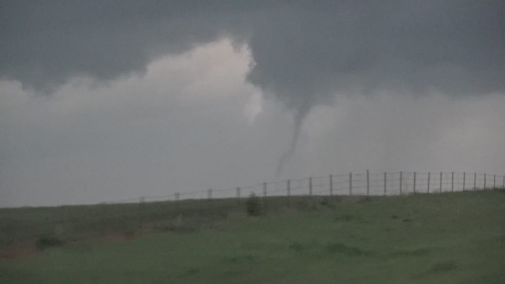
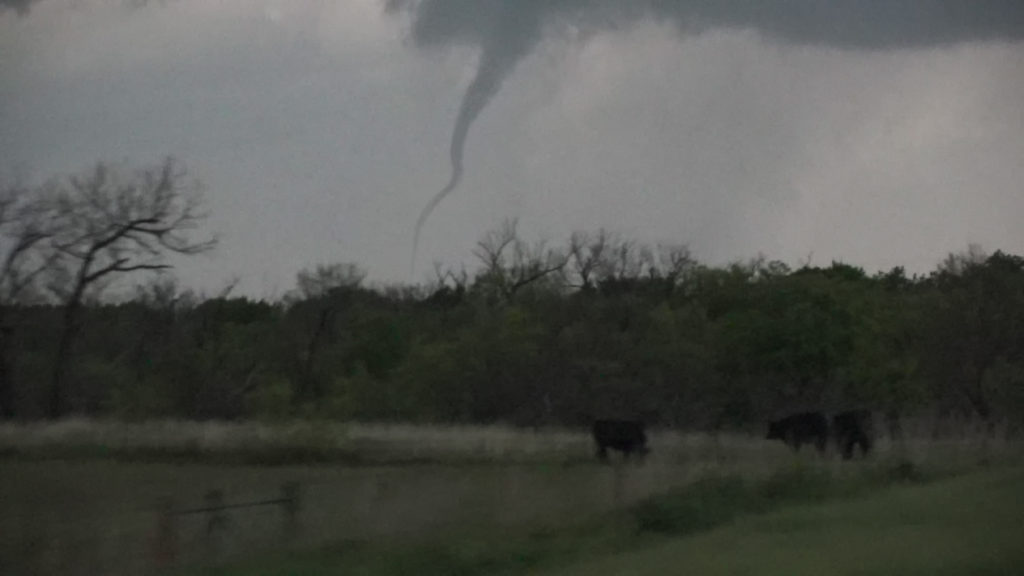
Between the bluebonnets in full bloom and the developing supercell, it made for an amazing scene. Soon, though, we we treated to an even more spectacular view, as our supercell latched onto the boundary and the low level jet cranked up causing it to produce 6 tornadoes in a little over an hour, while drifting very slowly eastward! A few of these, in the photos below were incredibly photogenic!! An amazing way to start Tour #1 and our season off! Please enjoy the images!!!!
Here are two cool videos form this day too!