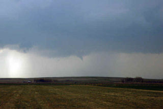
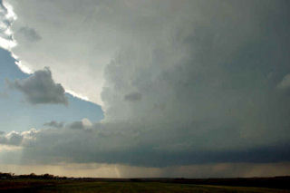
April 19th, 2005 Logan County Supercell & Tornado(s)?
April 19 was an interesting set up. A large closed low over the inter-mountain west would meander without moving much eastward this day. A surface low would develop over northeast Colorado with a boundary extending into Nebraska. This boundary would be to focus for severe thunderstorm development. Several storm first formed north into Nebraska and went severe. I decided to play the tail end storm which ended up being the prettiest storm of the day. Explosive convection developed north of Sterling mid afternoon as a substantial LP supercell formed. This storm produced at least one brief tornado, if not two!


No comments yet.