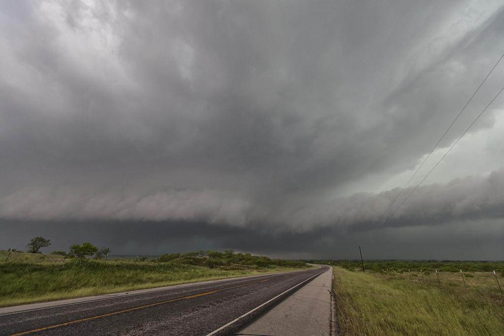
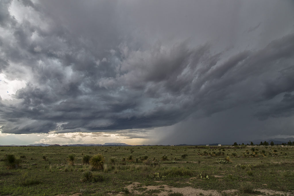
June 1st continued the streak of limited moisture and shear for the US. We decided to chase the Davis mountains in southwest Texas and were treated to a pretty storm with very large hail to tennisball size. Two supercells emerged from the mountains with one storm in particular becoming a prolific hail producer. It tracked from near Marathon eastward to Sanderson where it dropped its largest stones of the day, measured 2.5″ in diameter. Later on, the storm gusted out and outflow kicked up a cluster of new cells on the Mexico border that were producing an incredible amount of lightning strikes. Pretty indeed, and a great way to finish the day!
May 31st Lamesa, Texas Supercell Thunderstorm
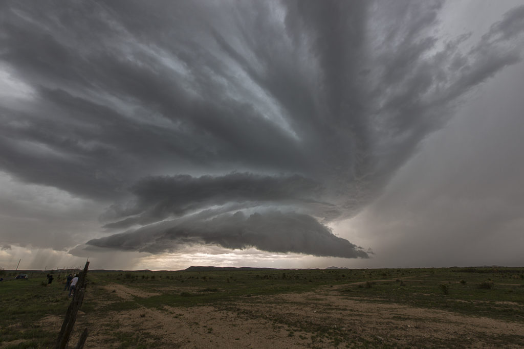
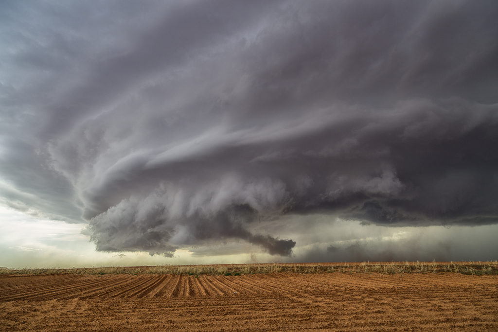
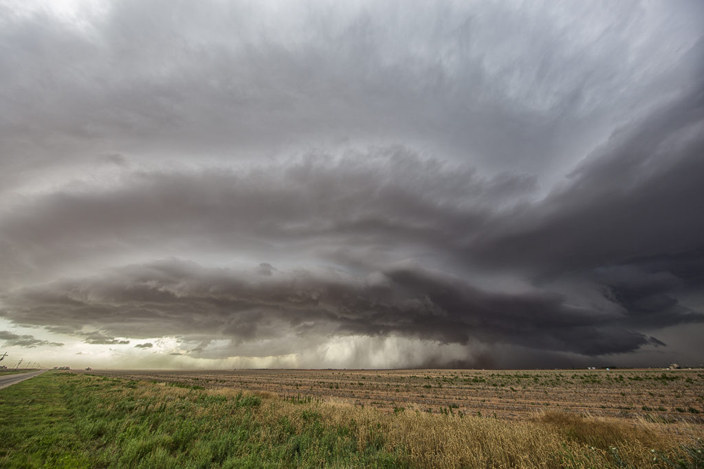
The latter part of May and early June was a period of little severe threat in the US. Record low numbers of tornadoes in this period would attest to the poor set up. We searched high and wide for those little needles in the haystack, sort of speaking, for any tidbit of severe weather we could find. May 31st was one of those days. A cluster of storms formed over west Texas, and one storm near Lamesa latched onto an old boundary and rode it, twisting, turning and spinning for a couple hours. It’s structure was pretty, and coupled with the red dirt of west Texas, made for an interesting sight!
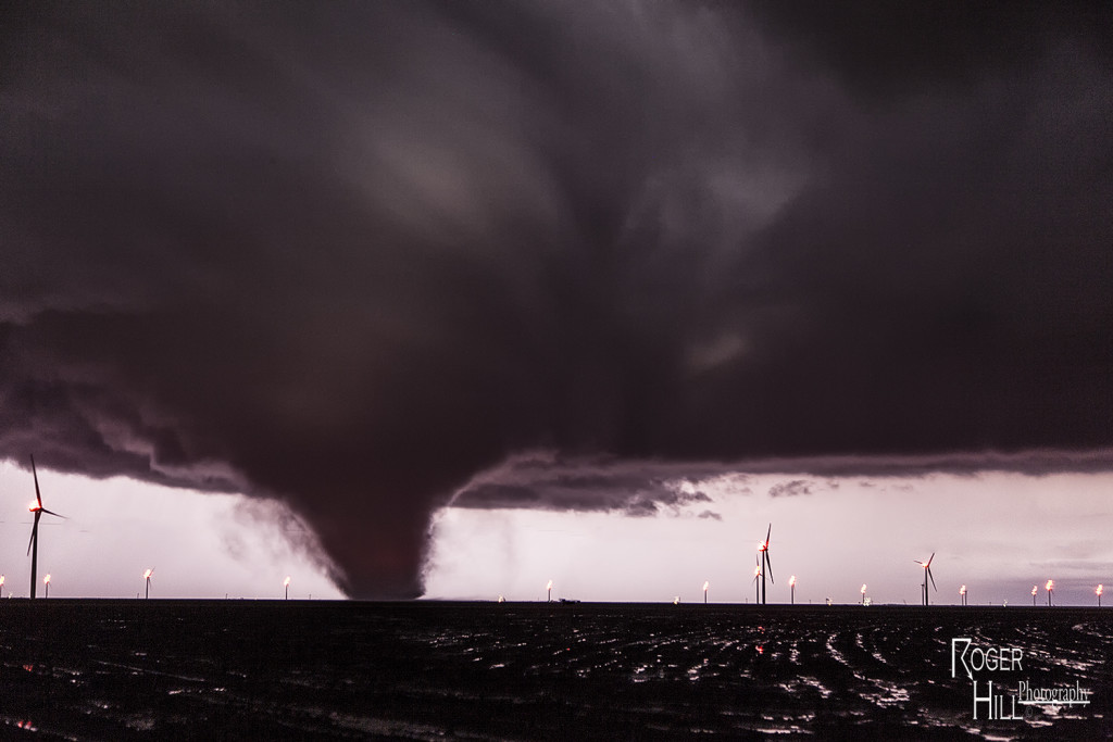
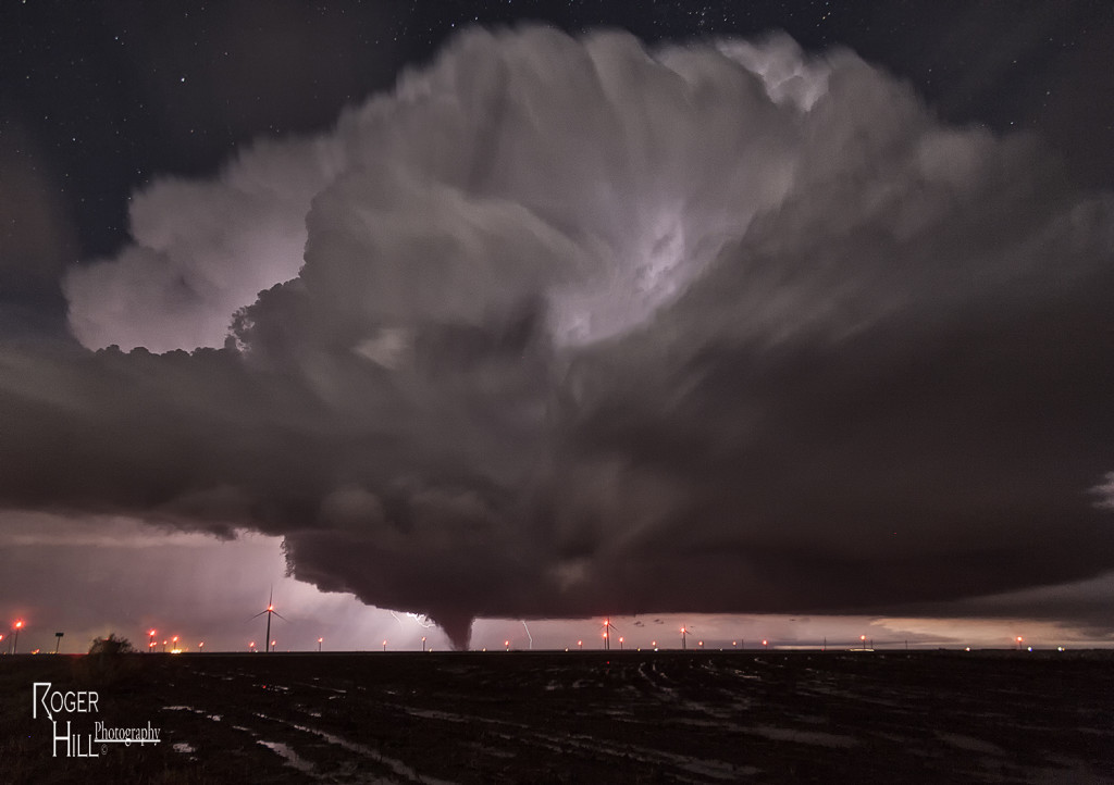
May 23rd Northfield, Texas Night Tornadoes
May 23rd was a big day of ups and downs. Nature seemed to play a cruel joke on us and give us all the potential ingredients for a major severe weather event, but put all those ingredients too far east of the dryline in the Texas panhandle to do much good. Storms formed and were high based, never a tornadic threat, along the dryline. These cells would move off and die due to a capping inversion. Finally late afternoon one storm formed at the tail end of a cluster and moved far enough east to intercept 70 degree dewpoints and 4000 CAPE values. This storm would go crazy near dark and produce at least 2 significant tornadoes. The first tornado, a tapered cone, churned across the countryside west of Northfield, while the second tornado, a large EF3 multivortex turned wedge tornado, would be very close to Northfield. Lightning would illuminate this tornado and at one point, 4 bolts were visible around the tornado. An AMAZING event to say the least! Fortunately there were no fatalities from these tornadoes. Night time tornadoes are especially dangerous as you cannot see them unless they are lit by lightning or hit power lines to cause them to glow green. An incredible event to what would be the warm up day for the next day, the largest tornado outbreak in a couple years in western Kansas!
May 22nd Ochiltree County, Texas Tornadoes
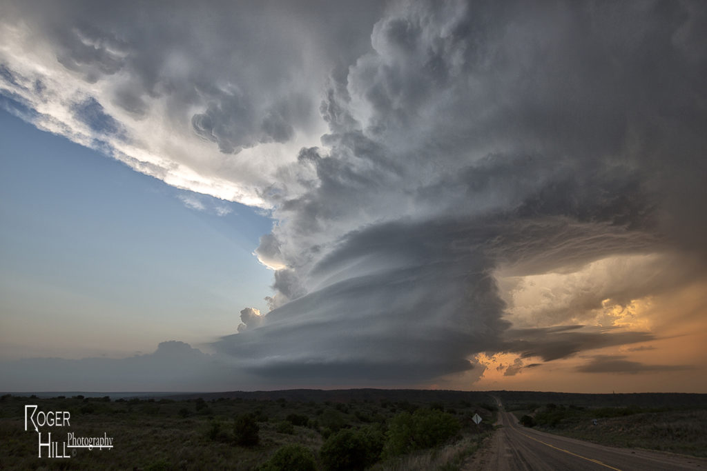
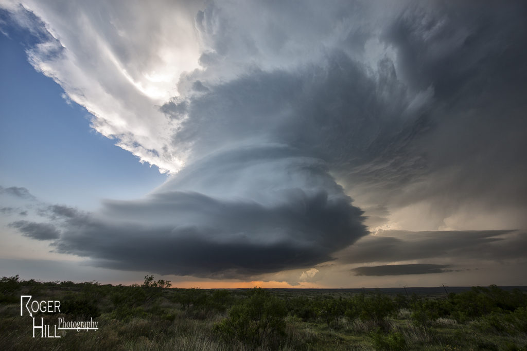
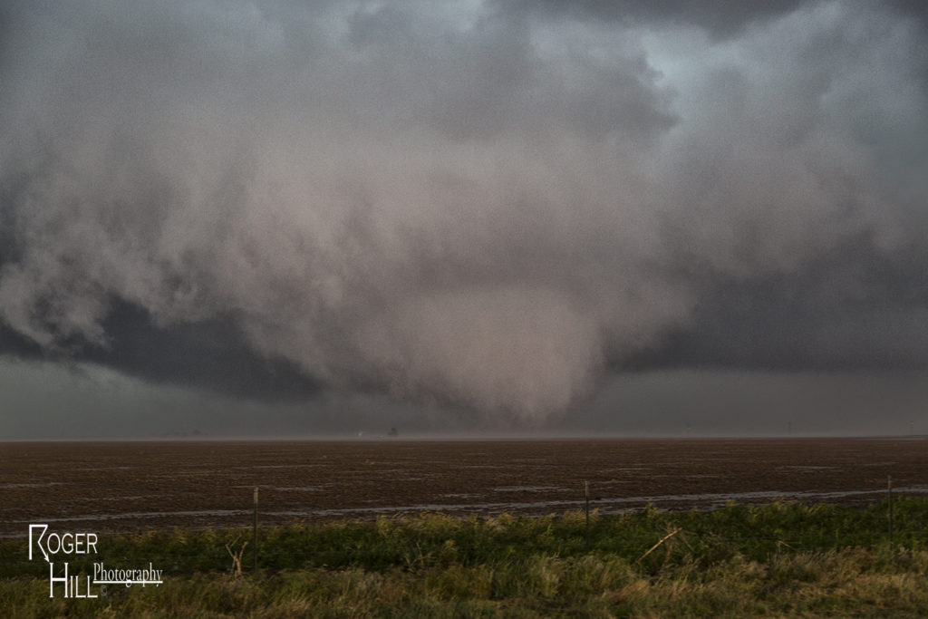
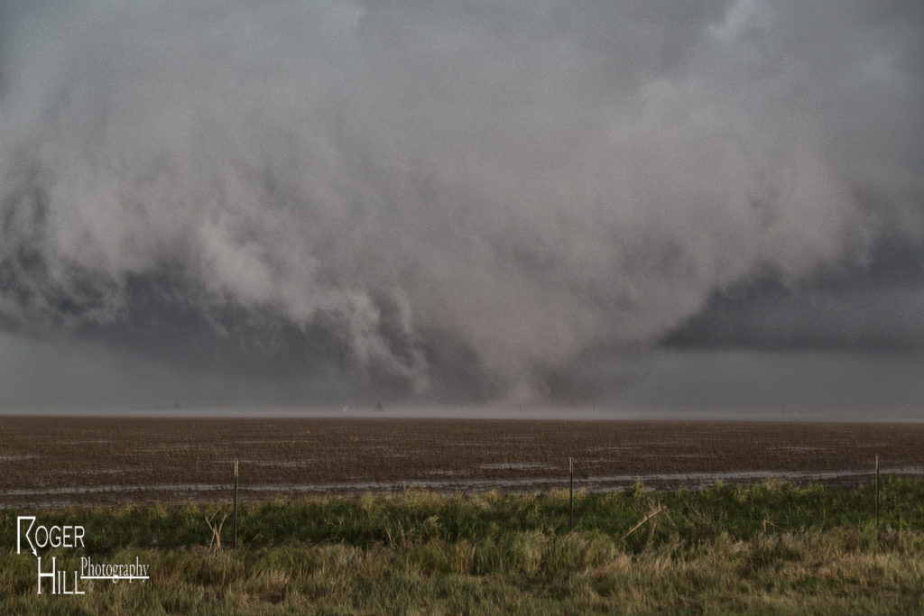
Storms abound on May 22nd. The Texas panhandle and northwest Texas were the target areas. We played the dryline first, west of I-27, but a confluence boundary east of the I-27/287 corridor would end up being the favored area. A few tornadoes occurred southeast of Amarillo as storms formed and spun, but they were quite messy. A second area of storms formed northeast of Amarillo in Ochiltree county. An outflow boundary on the south side of the developing storm would be the focus point for storm rotation. A weak tornado occurred before we got there. As we arrived, southeast of Spearman, an elephant trunk tornado formed and touched down briefly. It happened so fast and was so messy we couldn’t get any photos of it. Minutes later a large wedge formed and moved southeast towards our location. A huge blob of wet RFD hit us with 80 mph winds as we scurried east to get out of the way of the tornado. It wrapped in rain after a few minutes and was no longer visible. We stayed with the tornado warned supercell for hours after this as it cycled many times, but never became tornadic again. A fun day and a very large tornado!!!!!
May 11th West Texas Supercell
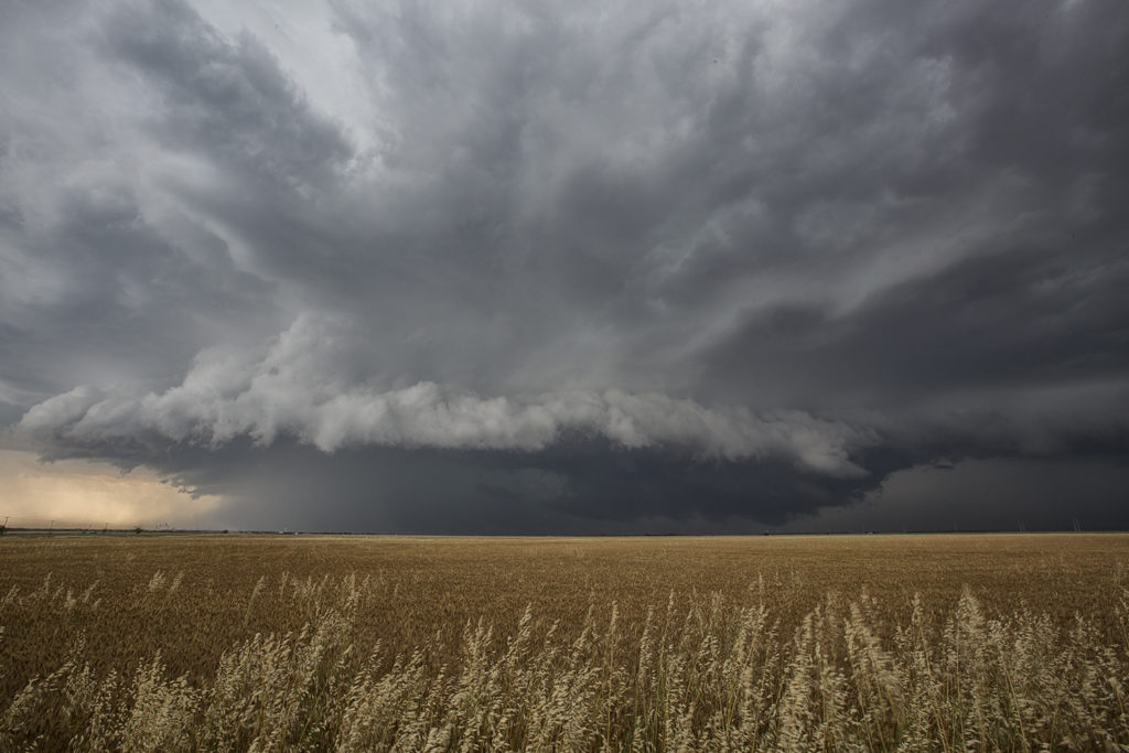
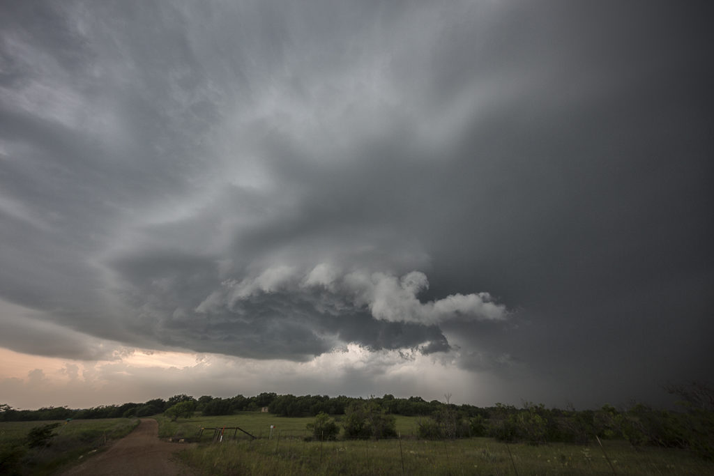
The set up this day was not ideal for tornadoes, but with moderate shear, instability, moisture and a dryline in place, we knew storms would fire along it. Due to large temperature and dewpoint spreads, cloud bases were fairly high, and thus storms became outflow dominant quickly. We intercepted several storms near the I-20 corridor west of Abilene that gave us some pretty structure, an occasional wall cloud and lots of lightning. They all were severe at times and even one became tornado warned. A big dusty haboob formed as the main cell turned into a line and eventually gusted out. At that point we dropped south on new cells and watched then rotate slowly and produce large hail.
November 16th Texas Panhandle Tornadoes
November 16th was an amazing day and night. Numerous tornadoes occurred in Texas through Kansas, with the most intense tornadoes centered on two supercells in the Texas panhandle. We had the privilege of witnessing them both. A couple hours before dark dryline storms erupted and organized near dark, producing several strong tornadoes between Groom and Pampa, Texas. We watched an elephant trunk shaped tornado, followed by a large cone, then a wedge as storms raced off at 60 mph. An incredible way to finish the year for us as well as the guests that were on this tour!
May 27th Canadian, Texas Tornado Outbreak
May 26th had incredible potential. An old outflow boundary over the northern Texas panhandle, along with a dryline extending through the Texas panhandle intersected the outflow boundary just northwest of Canadian. High CAPE, strong shear and deep moisture would all combine to produce a violent supercell that anchored itself near the town of Canadian. By mid afternoon the storm exploded and produce several tornadoes, including a couple that were strong. Two tornadoes came very close to hitting Canadian, but fortunately dissipated before entering town. One of the best events of this young 2015 chase season and one that will live in the memories of all tour guests for sure!
May 26th North Texas Tornadoes
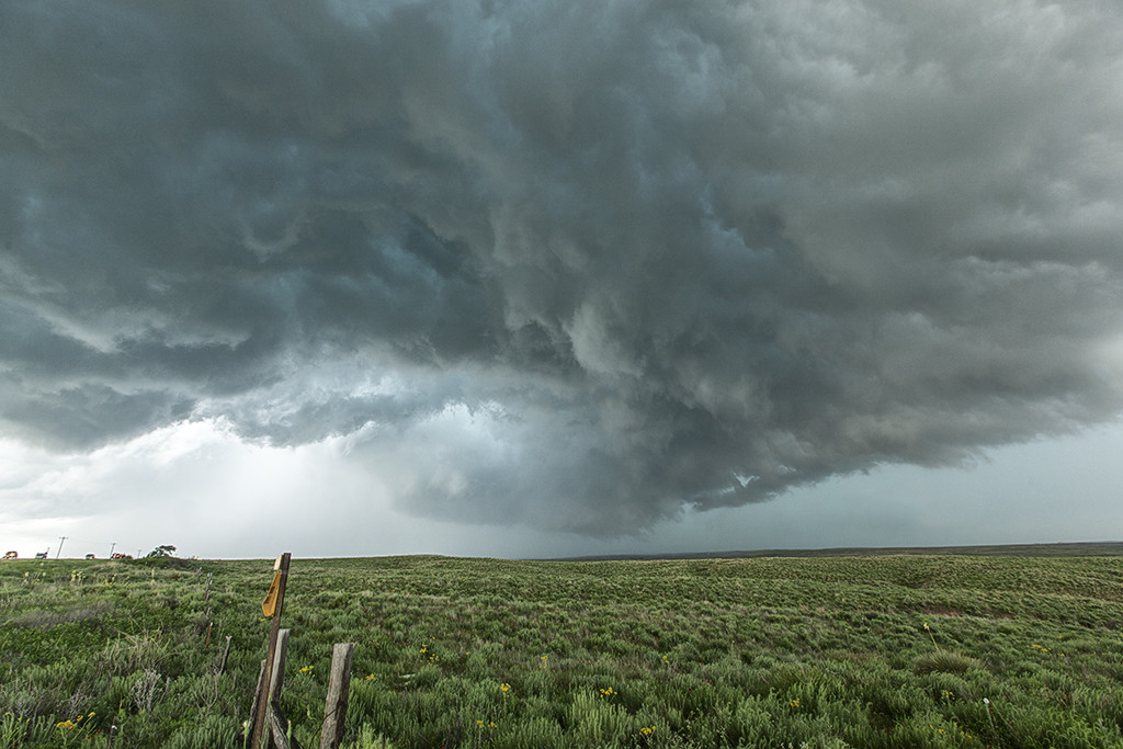
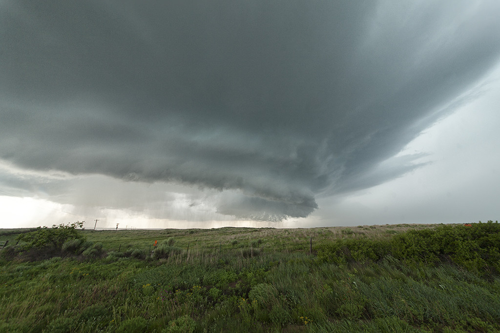
Very high moisture and instability, along with an outflow boundary would provide the focus for intense supercell development over northwest Texas May 26th. Storms erupted and quickly became intense and tornado warned. Although we witnessed one tornado, several funnels and great storm structure were observed. Storms had the tendency to become high precipitation quickly and thus a couple tornadoes occurred buried deep into the rain. They were extremely hard to see and very dangerous to get close to.
May 13th, Abilene, Texas Tornado Warned Supercell
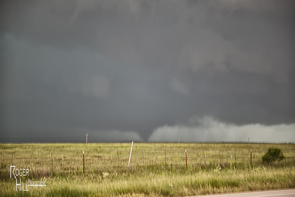
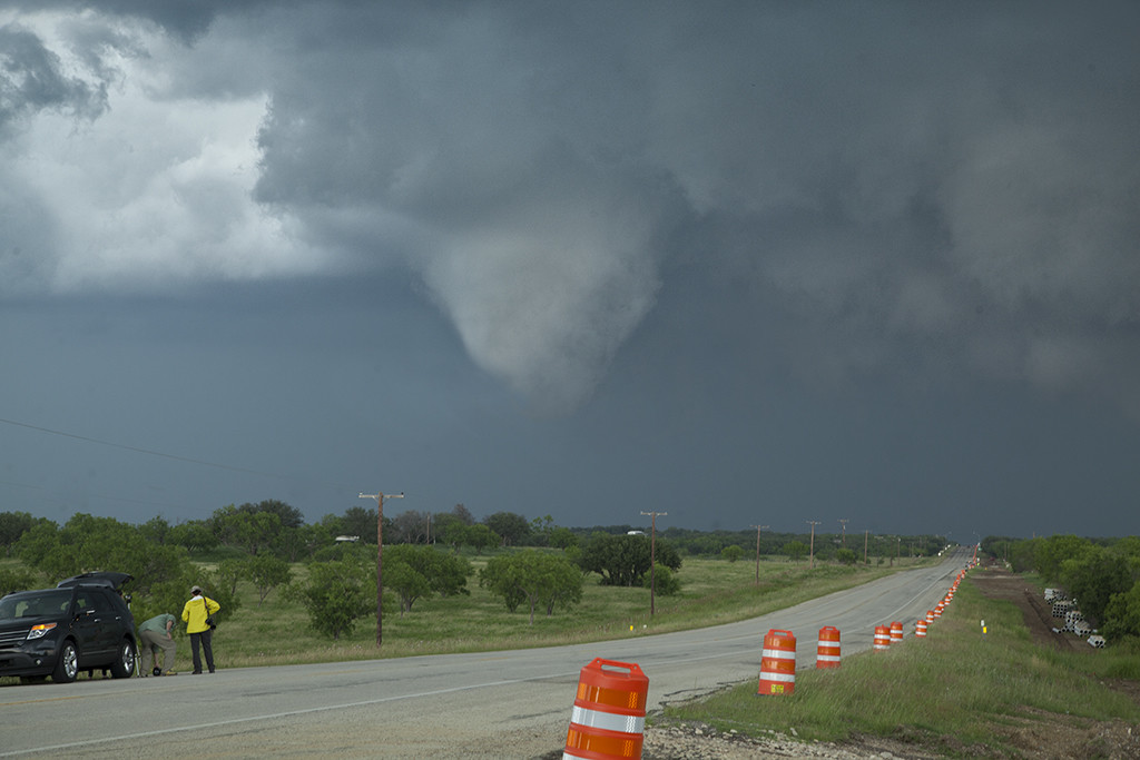
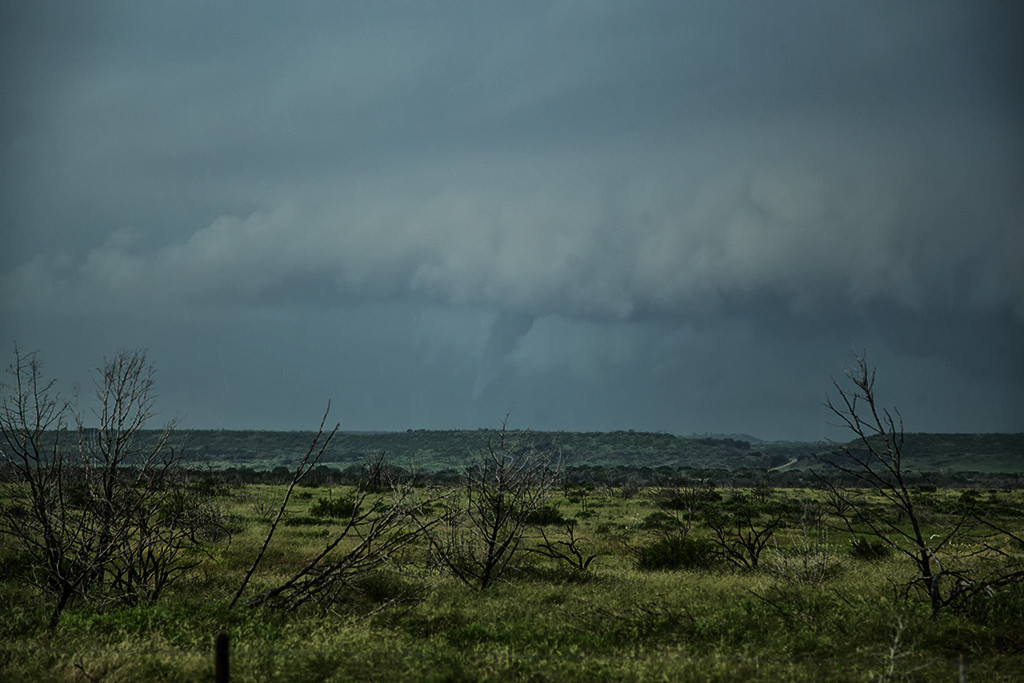
May 13th was a day that really didn’t look like it had much potential. A fairly poor combination of shallow moisture and weak shear should have resulted in little threat for tornadic storms. We decided to chase along a boundary that extended from east of Ft Stockton to east of Lubbock. Late afternoon several storms formed along the boundary, with an intense supercell near Blackwell, Texas. It quickly became tornado warned as it traveled northeast towards the Abilene area. The storm produced funnel clouds and had nice structure. It was also quite electrified as it churned across the countryside near dark. Great chase and a very nice surprise!
May 8th Throckmorton, Texas Tornado
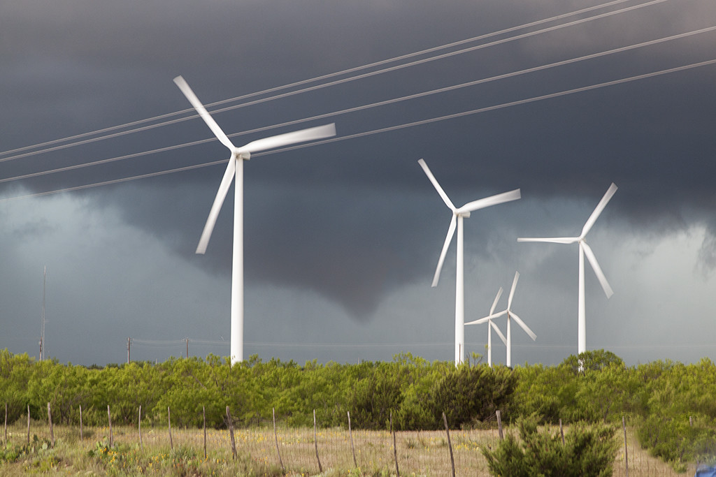
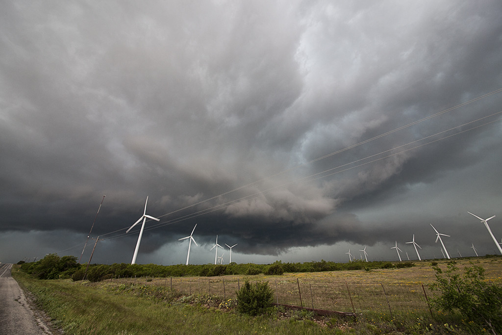
May 8th had significant severe weather potential. Several boundaries would come into play that would focus severe storms and tornado potential. We chose an outflow boundary that extended from near Lubbock eastward to north of Dallas. A supercell storm formed along the boundary and became quite intense. As it moved eastward along the boundary it produced a tornado just north of Throckmorton, Texas. It was on the ground for several minutes and became fairly significant as it eventually wrapped in rain.