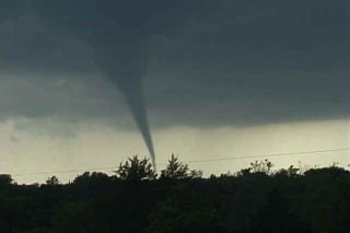
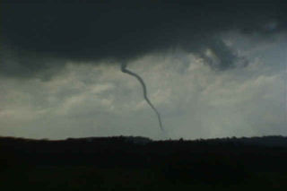
May 31st wasn’t a day I was really expecting too much. Moderate westerly flow aloft, coupled with fair moisture and decent instability would set the stage for supercells, producing hail, wind and tornado or two. We started in southeast Colorado where storms formed on the north side of the Raton Mesa, then propagated into the Oklahoma panhandle and became nice supercells. One storm in particular, featured here, produced at least 2 low contrast tornadoes and a couple of spinups under the shear line, and hail to baseball size.
May 30th, 2006 Western Oklahoma Supercell
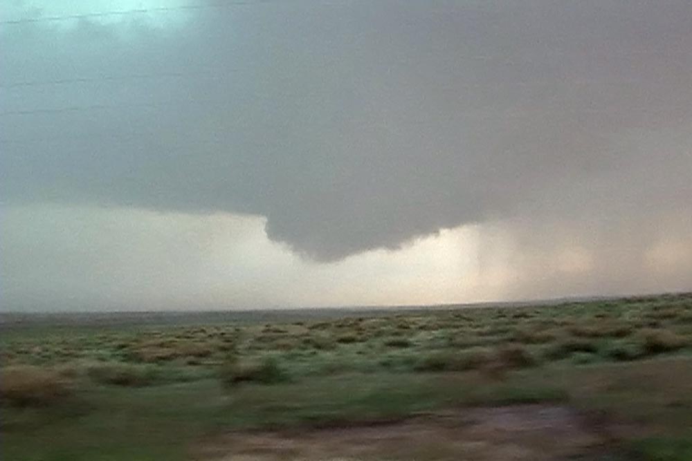
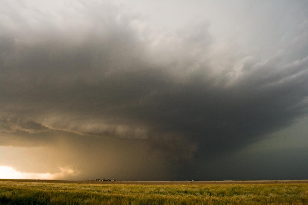
This day would be another where either shear or moisture wasn’t sufficient for tornadic storms. A supercell developed south of Woodward, OK and slowly drifted south, enhancing all the shear it could get. It had pretty structure, several slowly rotating wall clouds, hail to half dollar size and intense lightning.
March 20-21st, 2005 Kansas & Oklahoma Supercells & Tornadoes
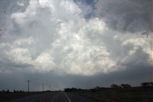
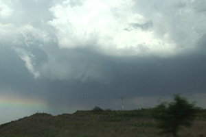
The weekend of March 20 and 21 shaped up to be an active period as a deep negative tilted trough developed and pushed south across the southern plains. I couldn’t resist the first chase of the year and I am glad I didn’t! Caryn, Colton and I left Sunday afternoon for what hoped to be elevated supercells in Kansas, then into Oklahoma for tornadic supercells the following day. The atmosphere did not disappoint. An elevated supercell produced copious amounts of CG and hail near Rush Center, Kansas during the evening of the 20th. On the 21st we targeted the area just east of Oklahoma City. By mid afternoon an awesome supercell developed and produced 4 confirmed tornadoes, 3 of which we captured on video. The first tornadic circulation developed almost overhead and developed a nice funnel followed by a debris cloud less than 200 yards from the van. The second tornado was a nice multivortex tornado that lasted about 5 minutes. The 3rd was a small rope tornado that we weren’t able to capture on video. The last tornado, was a LARGE cone, that we tried desperately to catch but just couldn’t due to road options.
March 27th, 2004 Edwards County, Kansas Tornadic Supercell
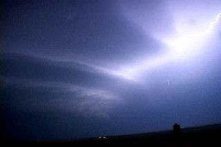
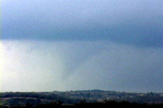
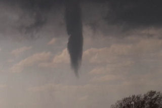
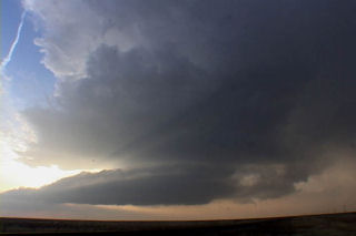
March 27 took me to southwest Kansas. A triple point set up was to be the focus for initial supercell development this day. Models showed a couple waves of convective development with the advancing trough and cold front with the dryline and triple point to be the focal point for potential tornadic supercells by late afternoon. However, the first wave of convection of the day, which developed late morning and early afternoon, was the only wave to happen. Fortunately I left early for my target of Dodge City, Kansas. After driving through blizzard conditions in Colorado, I got in front of the advancing cold front just west of Ogalla, Kansas on I-70. I dropped south to get to my target, and at the same time a supercell developed just east of Dodge City. This storm rapidly intensified and produced several tornadoes. I had to core punch the FF core to get to the updraft and managed to break my first windshield of the year with 2.5″ diameter hailstones. By the time I got to the updraft, the first LARGE tornado (F3) was dissipating. I managed to see it as it dissipated, but missed the biggest action by 10 minutes. Two other tornadoes and several funnels formed. Also included in the photos, was an LP supercell from the night before that my wife Caryn and I intercepted near Boise City, OK. Check out the photos below.
May 15th, 2003 Texas Panhandle Tornadofest
This day had tornado outbreak written all over it. An intense upper level low was moving across southern Colorado and northern New Mexico headed for the Texas and Oklahoma panhandles. Deep tropical moisture was streaming northward with strongly backed surface winds across that region. By mid afternoon storms developed across northeast New Mexico and quickly became severe. Soon other storm developed across the north Texas and Oklahoma panhandles and quickly became supercellular and produced numerous tornadoes. I tool the SLT group to this area and we managed to intercept a rapidly developing supercell south of Boise City, Oklahoma by mid afternoon. This storm produced a beautiful white lit tornado as is narrowly missed Boise City by less than a mile. Soon we were vectored on to another supercell farther southeast by Dave Gold. This supercell also produced a tornado nears Griggs, Oklahoma. By late afternoon another tornadic supercell developed northwest of Stratford, Texas and produced two very large tornadoes. Finally near dark a last supercell developed east of Dumas, Texas and become a tornado monster. Many, many photos of these storms and their tornadoes as shown below.
May 6th, 2001 Oklahoma Tornadoes
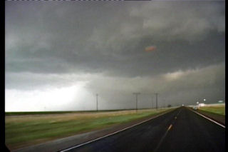
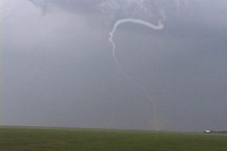
May 6 was an incredible day. It was to be the “day after the big day” type scenario. On May 5, a couple of weak tornadoes occurred, but did not destroy the set up for May 6. The morning models showed an explosive situation with over 5,000 j/kg of CAPE, strong westerly 500 mb winds across southern Oklahoma, and an old boundary. We headed south towards the Ardmore area to play the better shear, and much to our dismay, severe thunderstorms developed back in Oklahoma City where we had come from. The temptation to go back and chase these cells was short lived as two explosive supercells developed in a north/south line from Springer to Overbrook. The first storm produced the first tornado below, an F2 that was gorgeous. The second storm also produced an F2 near the town of Overbrook. Finally we ended up near Denton, Texas chasing a gorgeous LP supercell that is shown in the last photos.