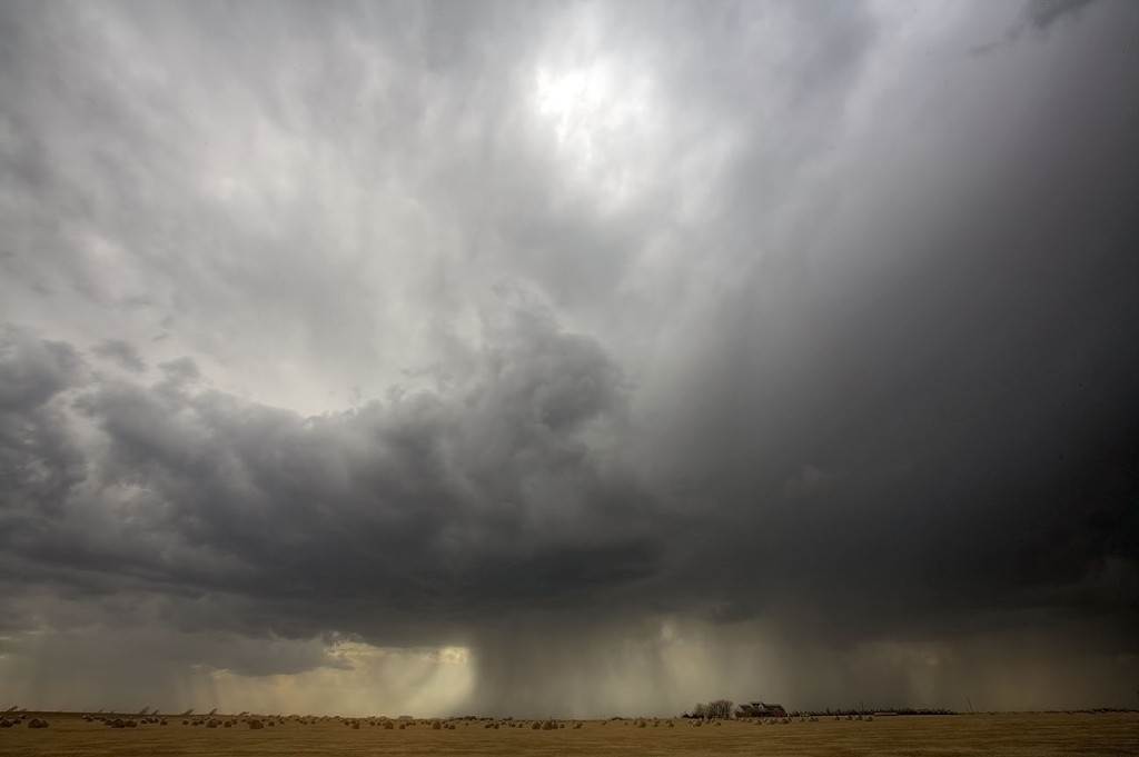
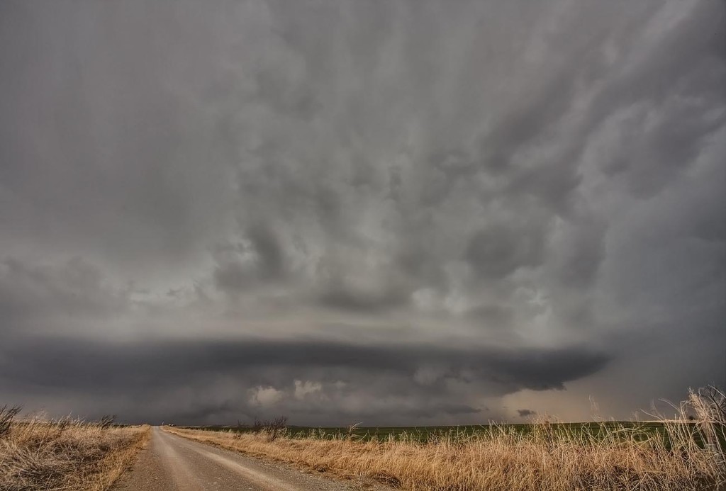
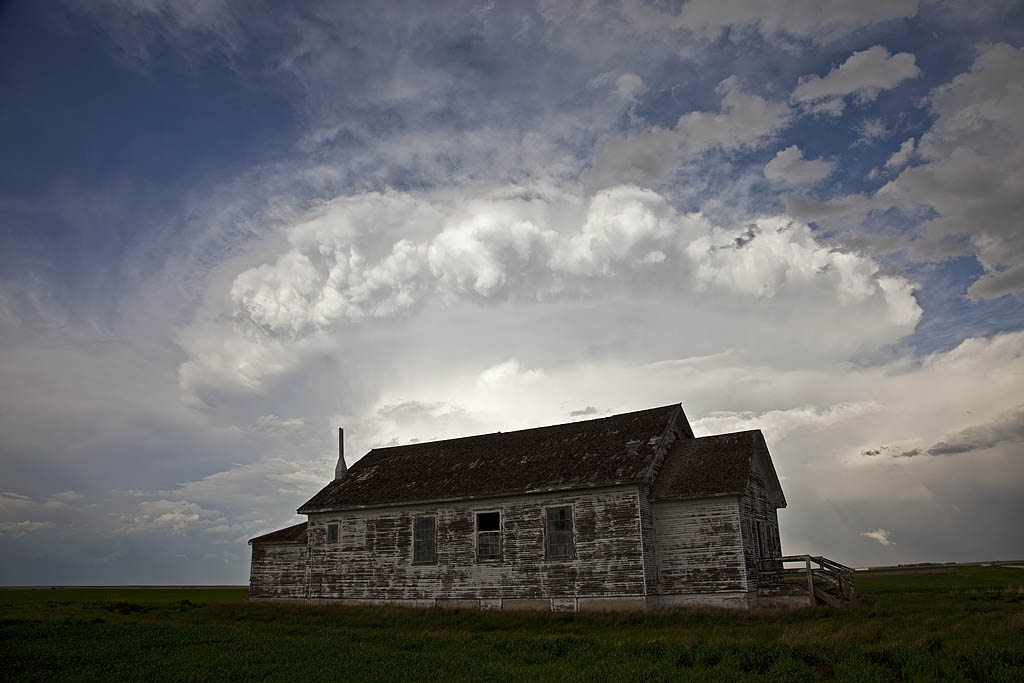
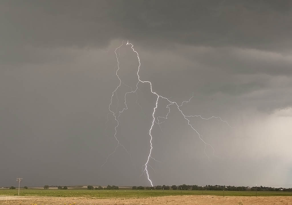
From mid through late May, nature did not cooperate with an active severe weather pattern. A large ridge of high pressure, along with a persistent gulf coastal frontal boundary would prevent decent moisture from returning to the plains states. When you operate a tour, you still have to find the little nuggets nature gives you. The pictures below are those nuggets from May 19 through 31st.
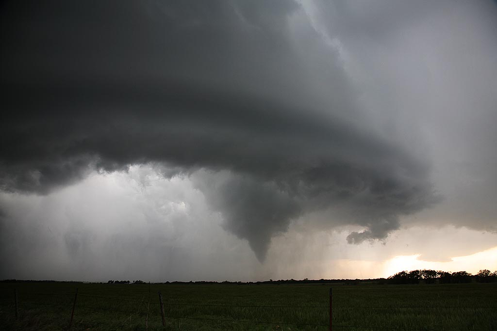
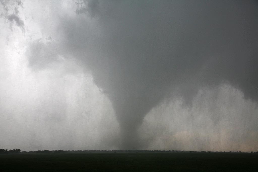
May 13, 2009 Kay County, Oklahoma Tornado
May 13th took us to the Kansas/Oklahoma border. Our initial target was north central Missouri but due to a late night in northwest Texas, it wasn’t going to happen. We positioned ourselves north of near Blackwell and watched as numerous cells developed on the front until finally a decent supercell formed just to our west. It quickly started rotating and produced a very nice tornado that was on the ground for over 15 minutes. Please click on the video link for a neat 2 minute video and click on the photos for a larger image of this very pretty and well structured tornado.
April 26, 2009 Roger Mills County, Oklahoma
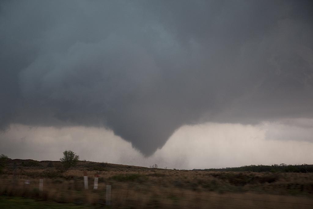
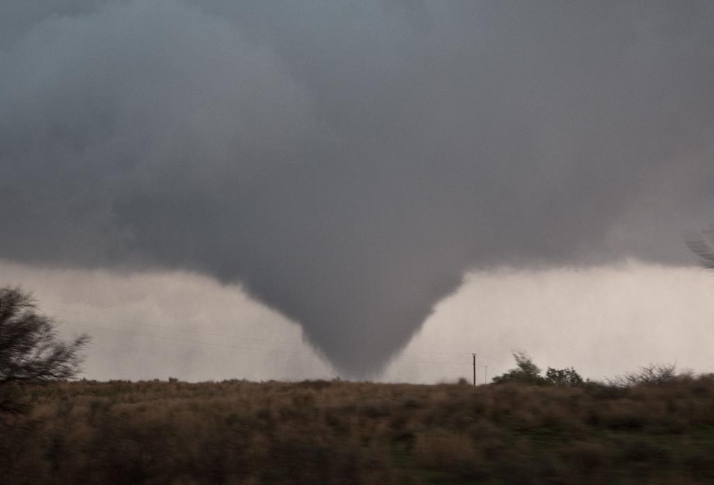
April 26th had outbreak written all over it. SPC upgraded to High Risk and issued several PDS tornado watch boxes. Problems seemed to start with storm mode as things would develop and become a bit stretched out and eventually linear. By late afternoon a nice pinch point developed along I-40 over the far eastern Texas panhandle. Storms fired, spun quickly and became tornado warned. We intercepted 2 tornadoes near the town of Crawford and we came very very close to the second larger tornado. Close enough to smell the tornado and feel your ears pop. Click on the link below for a video (beware of LARGE file size!) and the small photos for larger images.
First 25 days of April, 2009
This is a collection of photos from storms I chased during the first 25 days of April. They are at various locations as shown with each photo’s caption.
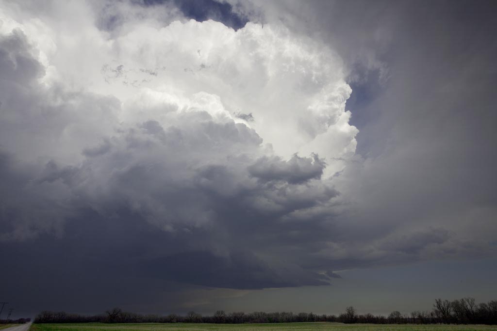
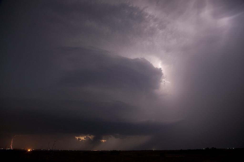
February 10, 2009 Texas/Oklahoma Supercells and Tornadoes
February 10th was a surprise set up for this early in the year. Moisture surging northward into southern Oklahoma and north Texas, with strong heating ahead of the dryline and advancing upper level system would set the stage for significant convection this day. We ended up near the Wichita Falls, Texas area via Oklahoma by 4 PM to find the action farther north near and north of Oklahoma City. Storms farther south were fairly linear as strong forcing along the dryline was occurring. We stayed put, near Henrietta, Texas in hope for something to fire ahead of the line or at the tail end, and move into an environment conducive to rotating storms. We were not disappointed. A cluster of towering cumulus developed ahead of the line south of Bowie, Texas, and matured into a magnificent supercell that produced a tornado near Ringgold, Texas. As it crossed the Red River north of St Jo, TX I got a great shot of the developing wedge that would later cause the death and destruction in Lone Grove, Oklahoma. Very successful first chase of the year, but with sad results of the EF4 tornado tearing through Lone Grove.
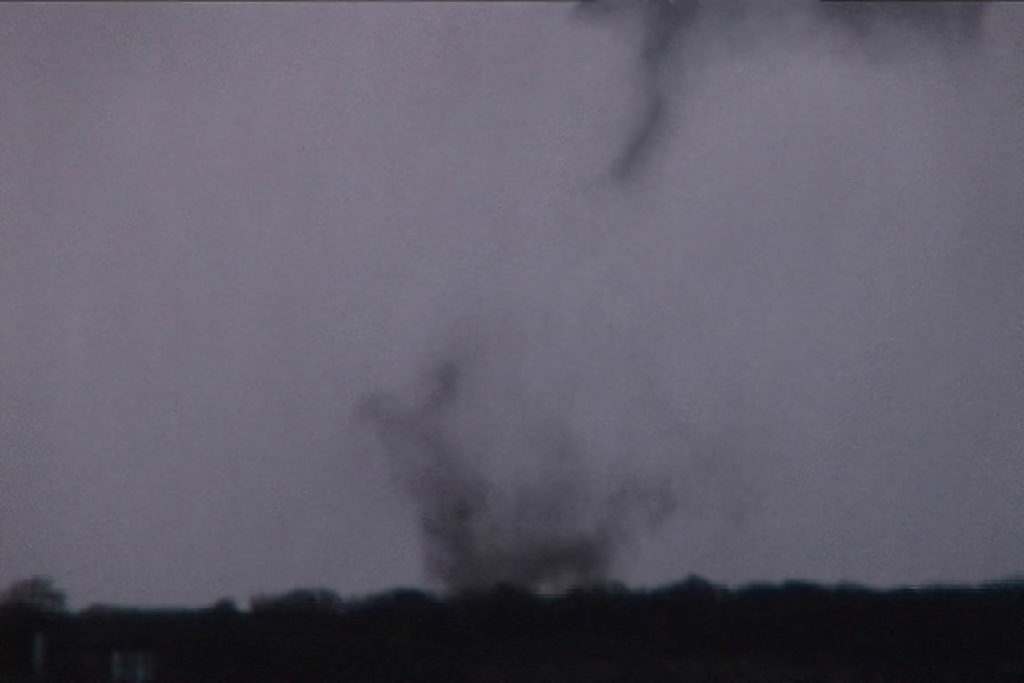
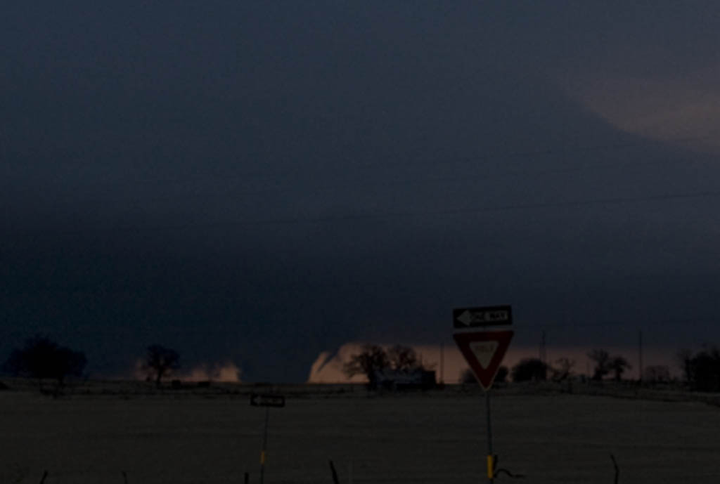
November 5th, 2008 Oklahoma Supercells
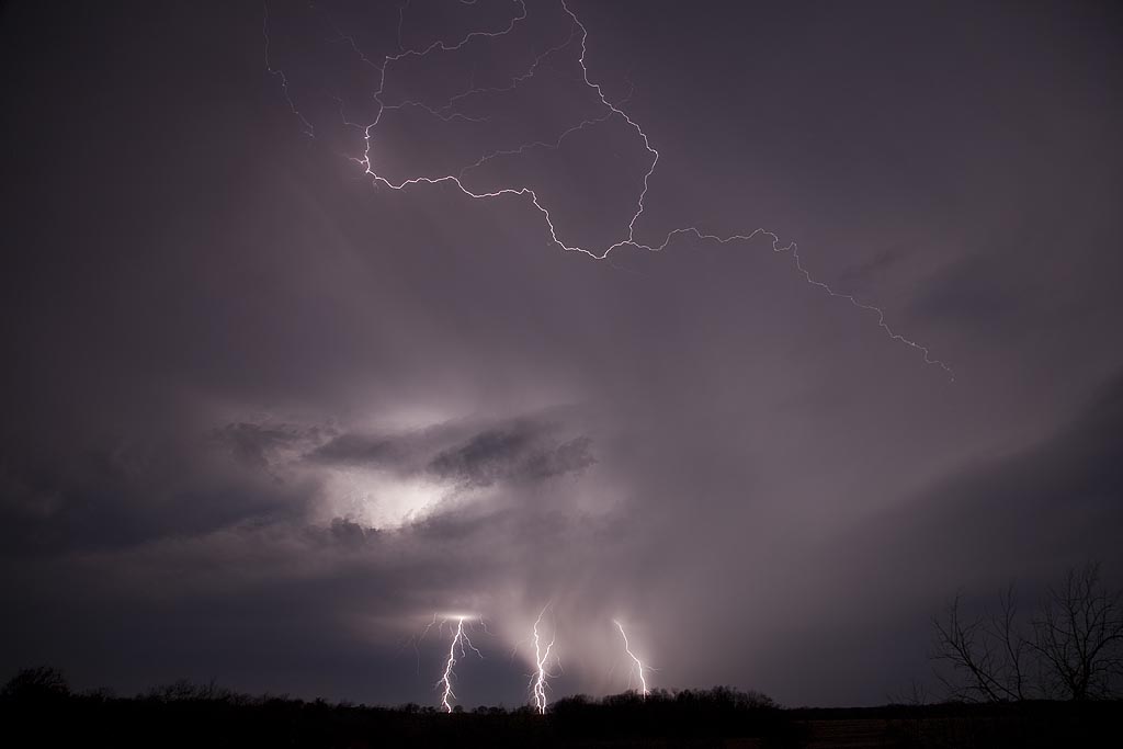
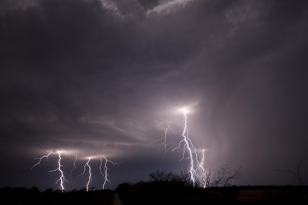
It isn’t often that a setup warrants a long trip to Oklahoma in November. However, the setup for November 5th was more than conducive to rotating supercells. Strong shear, good lift, decent moisture, but a narrow instability axis would support supercells this day. I arrived on scene by mid afternoon just as storms exploded. These supercells were very nice, producing large hail, high winds, wall clouds and several attempts at tornadogenesis, but in the end, no tornadoes would form. After dark the lightning was spectacular. Some of the best I have ever witnessed in November.
June 16th, 2008 Southwest Oklahoma Supercells
I wasn’t expecting what I caught on June 16th. Southwest Oklahoma lit up like a Christmas tree as HP supercells graced the landscape, many tornado warned. Good moisture, instability and decent shear, albeit fairly weak in the low levels, was present this day. A north/south boundary would be the firing grounds for storms. We intercepted 3 tornado warned storms, with one likely tornado occurring northwest of Hobart, Oklahoma. The Hobart storm was one of my favorites for the year!
April 1st, 2008 Southeast Oklahoma Supercells
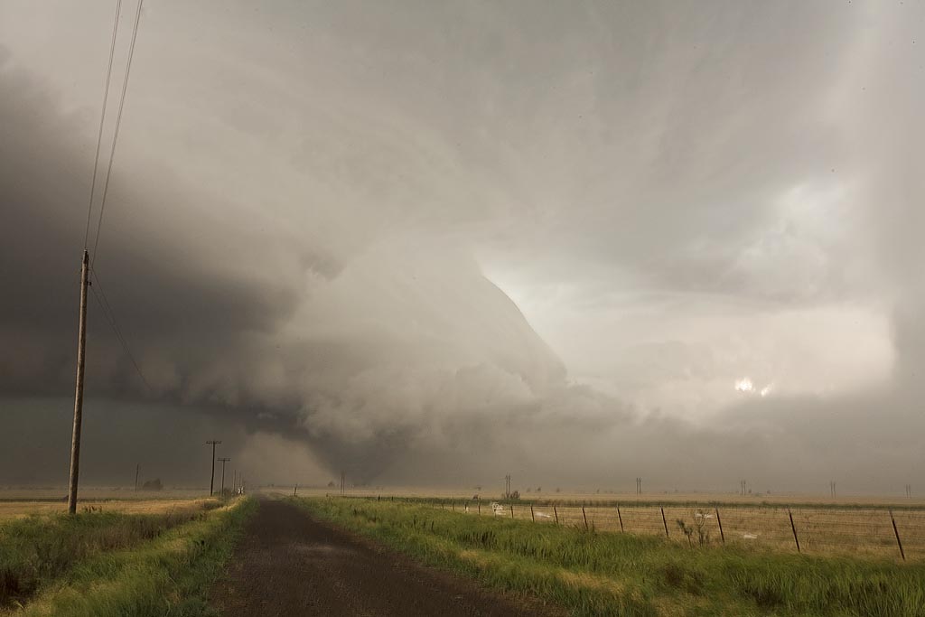
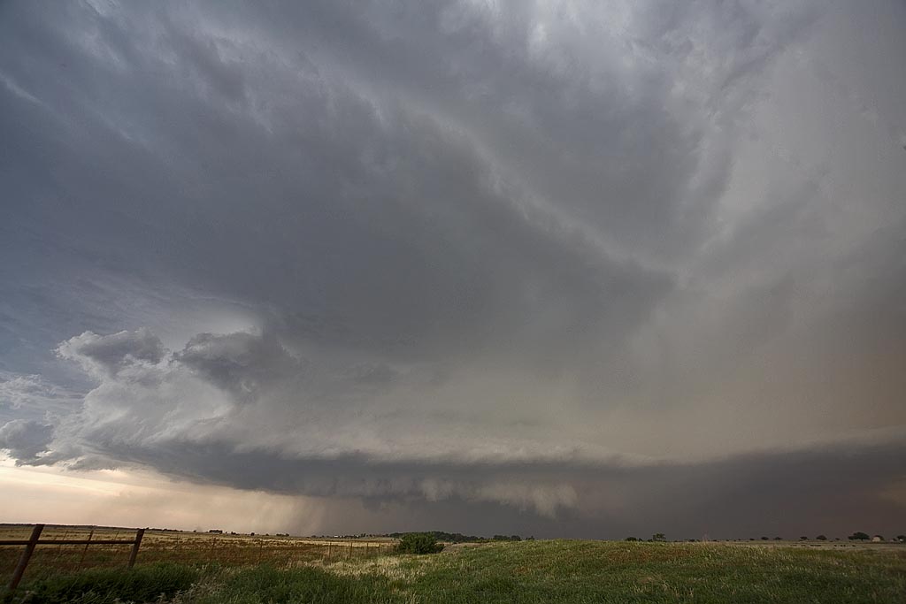
April 1st looked like a decent day for tornadic supercells in southeast Oklahoma. By the end of the day, it would greatly disappoint a lot of storm chasers. Storms had problems with entrainment and undercutting all day long. We were able to get on two tornado warned cells near I-35 not far from Madill and points east. The storm pictured above, rode an outflow boundary and did all it could to produce, but in the end just couldn’t do it due to outflow problems.
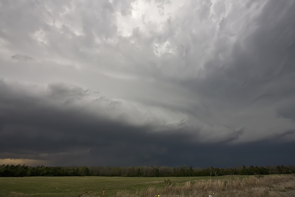
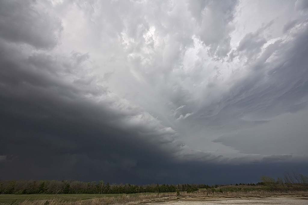
March 31st, 2008 Southwest Oklahoma Supercells
March 31st was one of those potential bust days with a strong cap in place across western Oklahoma. The ingredients were there, now we just needed enough forcing and convergence to get a storm to form. And they did! A beautiful classic/lpish supercell developed not far from Hobart and tracked all the way to Oklahoma City, being Tornado Warned the entire time. It came close a couple of times, but the low level flow was just not strong enough to produce a tornado. What we did encounter was baseball sized hail that shattered my windshield. Check out the photos below.
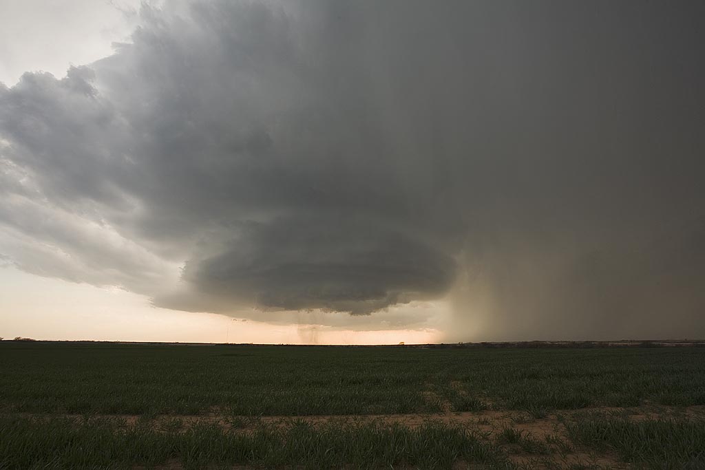
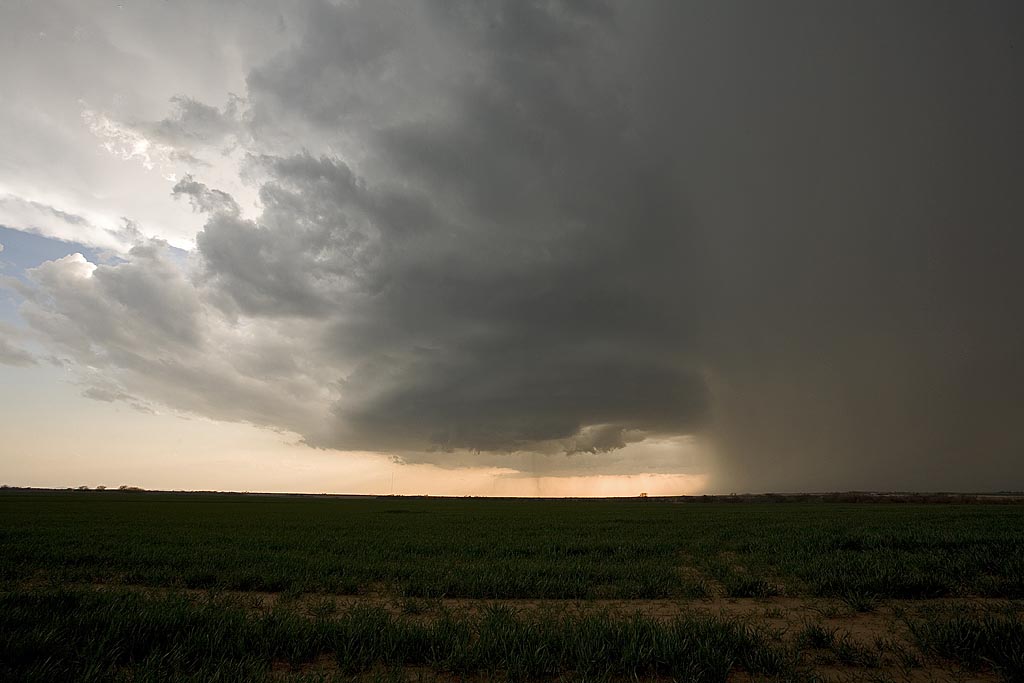
March 2nd, 2008 Western Oklahoma Supercells
I couldn’t resist my first chase of the season into Oklahoma Sunday March 2nd. The set up was good for supercells, but less than ideal for tornadoes. A fairly strong trough was moving in from the Rocky Mountains, with a surface low developing near Childress, Texas and decent southerly flow bringing mid to upper 50s dewpoints into Oklahoma. A strong cold front would help fire off storms with strong lift, but could also rapidly undercut them as it advanced southeastward.
By mid afternoon I was in Altus, Oklahoma waiting, watching high based towers go up along the advancing dryline. Soon a few disorganized cells formed, while the better storms were well north along to the cold front. By late afternoon, storms became better organized as shear became much better, however surface winds started veering, thus diminishing the tornado threat. I caught several storms, two nice supercells, and one was tornado warned near Gotebo, Oklahoma, pictured above. Check out the rest of the pics below.