
March 2nd, 2008 Western Oklahoma Supercells
I couldn’t resist my first chase of the season into Oklahoma Sunday March 2nd. The set up was good for supercells, but less than ideal for tornadoes. A fairly strong trough was moving in from the Rocky Mountains, with a surface low developing near Childress, Texas and decent southerly flow bringing mid to upper 50s dewpoints into Oklahoma. A strong cold front would help fire off storms with strong lift, but could also rapidly undercut them as it advanced southeastward.
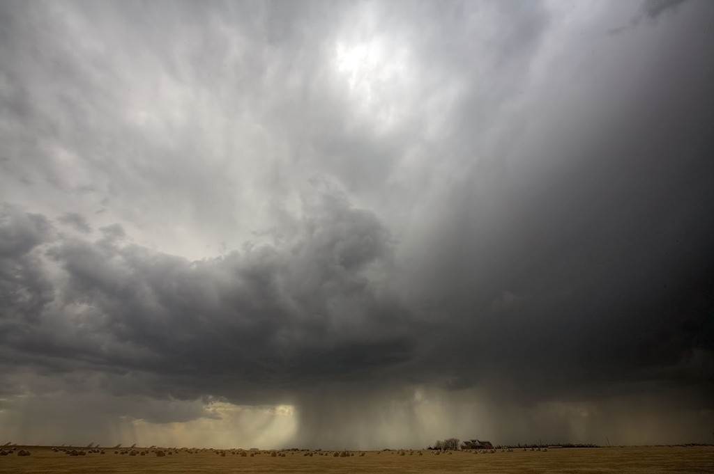
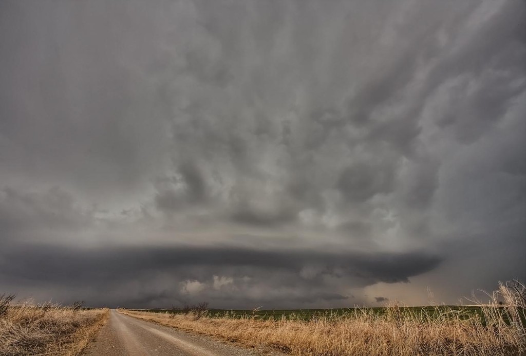
By mid afternoon I was in Altus, Oklahoma waiting, watching high based towers go up along the advancing dryline. Soon a few disorganized cells formed, while the better storms were well north along to the cold front. By late afternoon, storms became better organized as shear became much better, however surface winds started veering, thus diminishing the tornado threat. I caught several storms, two nice supercells, and one was tornado warned near Gotebo, Oklahoma, pictured above. Check out the rest of the pics below.
No comments yet.