Tag Archives | Oklahoma

May 29th Northern Oklahoma Tornado Warned Supercell

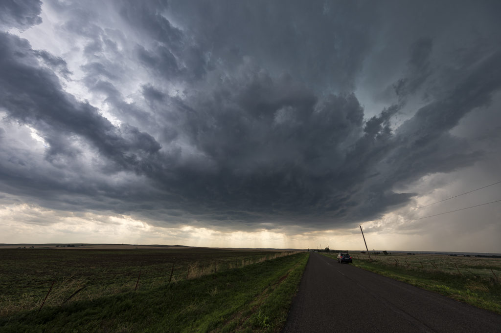
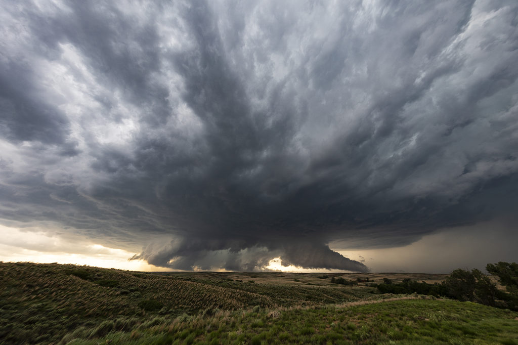
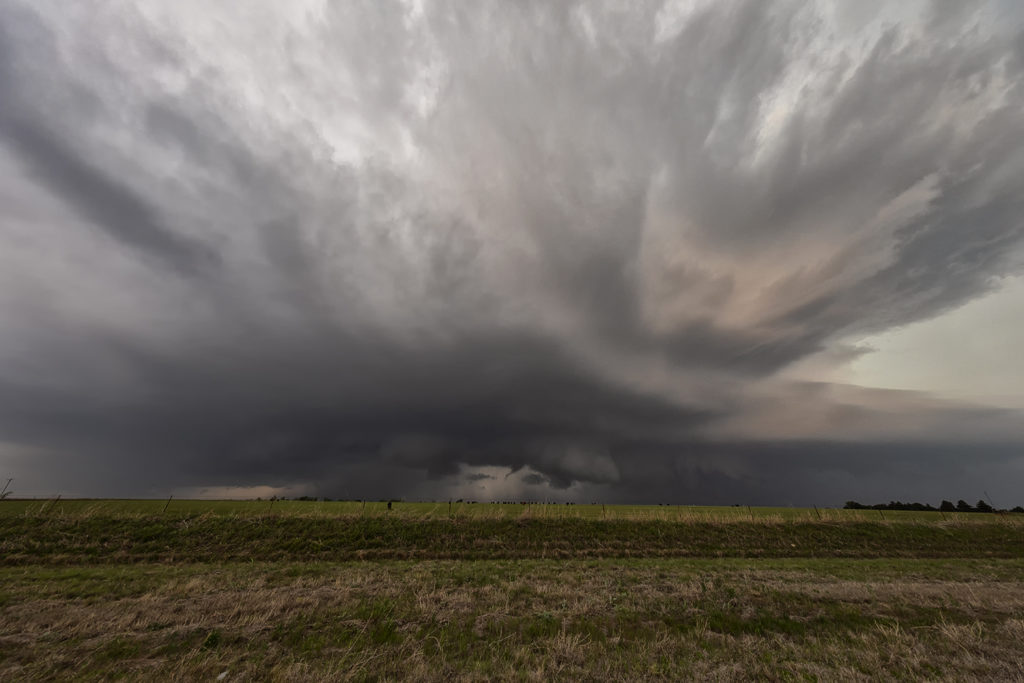
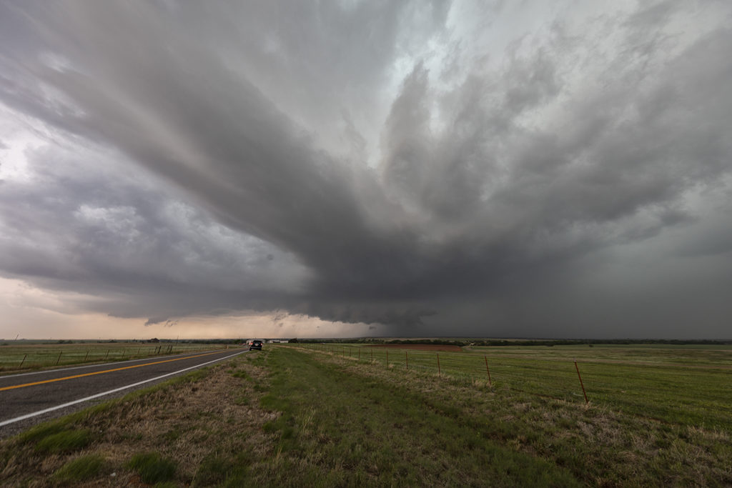
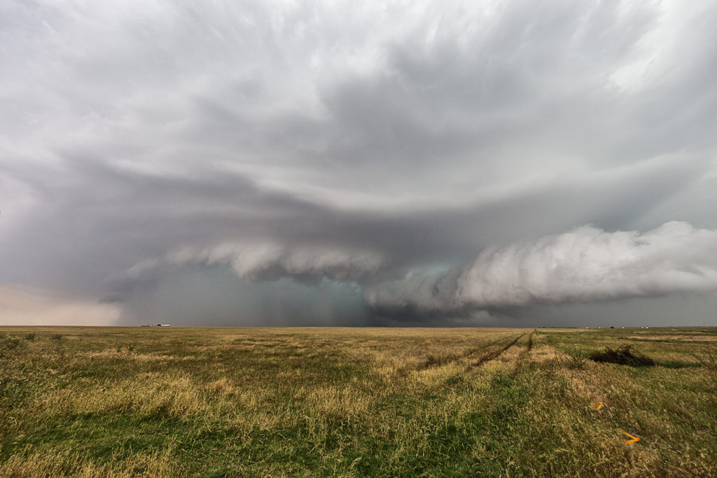
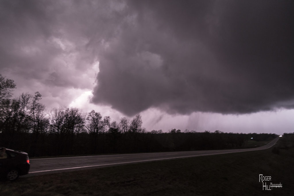
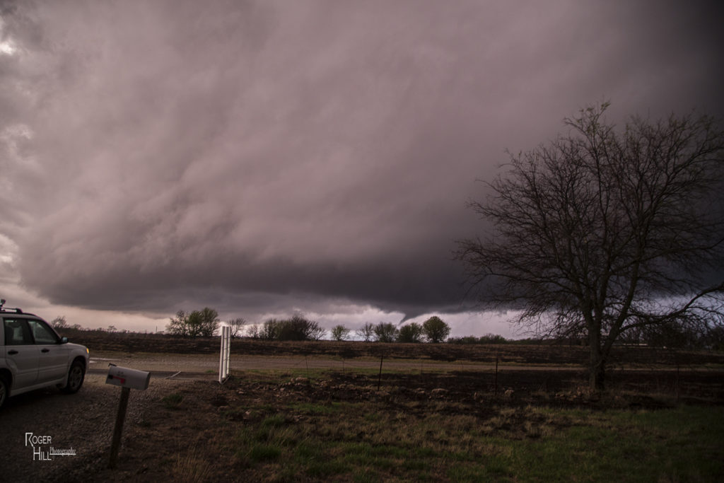
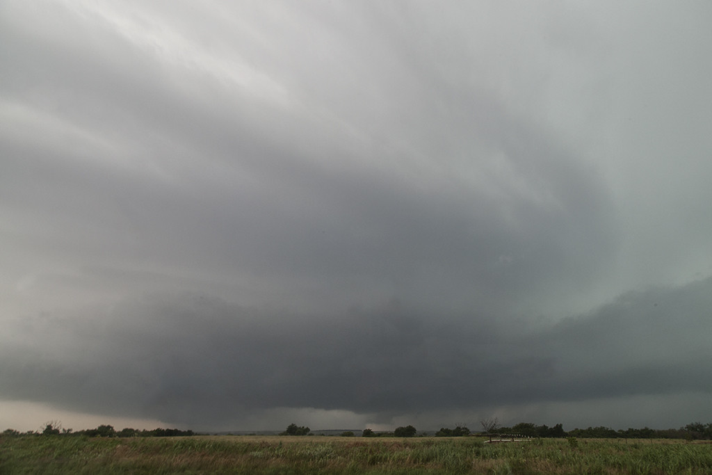
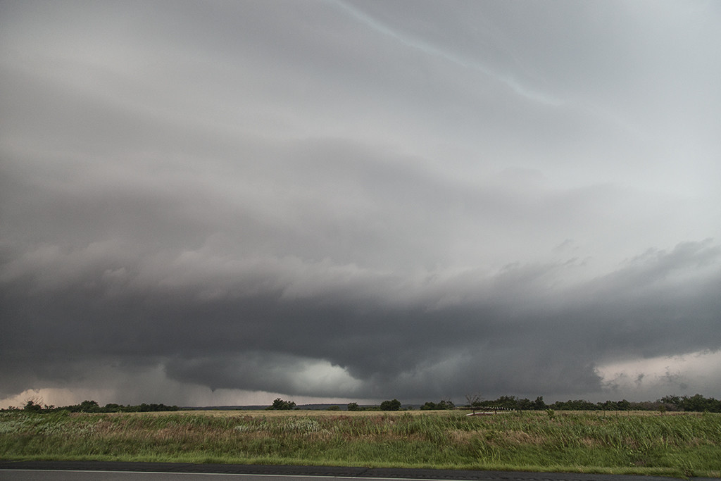
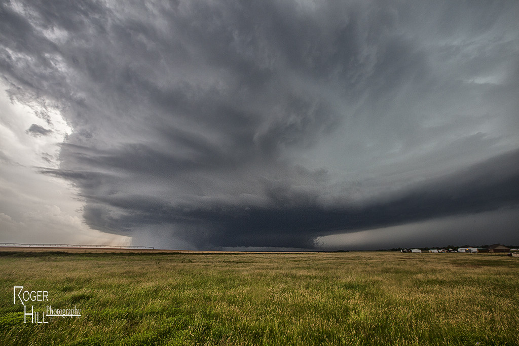
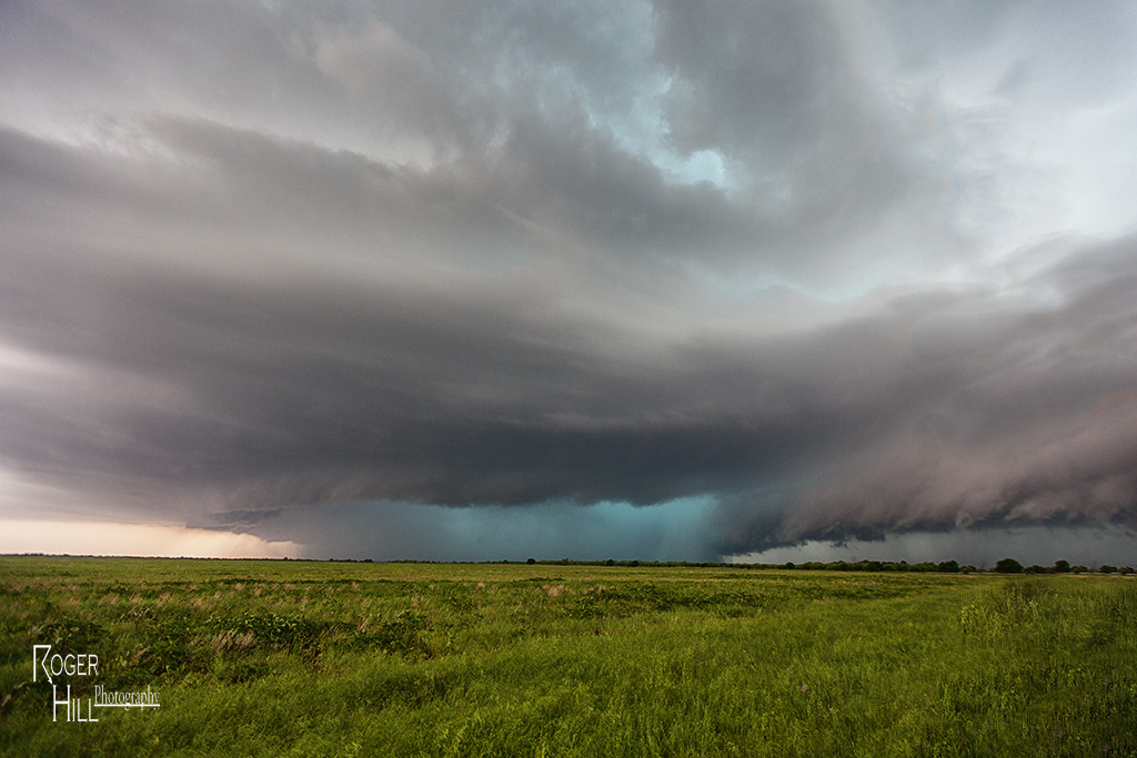
May 29th took us to northern Oklahoma. An outflow boundary and advancing cold front across Kansas would provide the focus for supercell thunderstorms this day. Good moisture and extreme instability, as well as good wind shear would provide the ingredients needed for storms to sustain themselves and be intense. The first supercell formed over northern Oklahoma west of Alva and become severe. Later it would be tornado warned and produce a weak tornado.  The structure was quite pretty and the storm exhibited decent rotation from time to time. However it could not focus in one spot and usually had broad rotation. Nonetheless, it was a good long lived supercell and provided us many photographic opportunities along the way for Tour 5 and the Photo Tour #2! Enjoy the pics!

May 2nd Oklahoma Briefly Tornadic Supercells

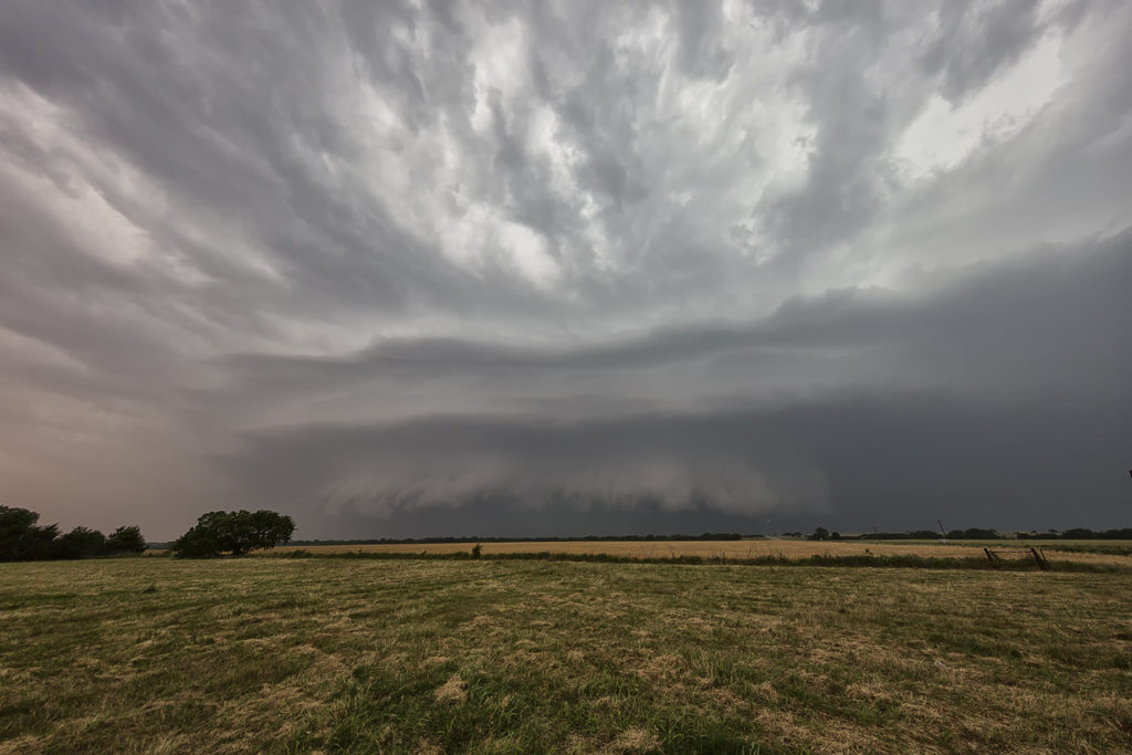
May 2nd showed great promise from the eastern Texas panhandle across western and central Oklahoma. Good shear, moisture and instability would be found and a sharp dryline would provide the convergence necessary to initiate intense supercells. Clusters of storms formed first in southwest Kansas at the triple point, while numerous storms formed a touch later down the dryline. One storm we targeted was severe just northeast of Shamrock, Texas. We were quick to find out the failure mode this day and that would be too many cell mergers, splits and interactions. This first storm had merger issues and never got to what it could be. So, we targeted a new cell to our south that became tornado warned off and on for several hours. As the storm moved east to Binger, OK, it cycled several times and had great structure. It tried to produce but just couldn’t focus long enough to get a tornado down. The lightning on the cell was intense at times and occasionally wouldn’t allow us out of the vehicles. Soon, as models suggested, a long line of storms formed and became a wind producing machine as they marched across Oklahoma, with mesovorticies occasionally developing along the leading edge.

May 18th Oklahoma Tornadic Supercells

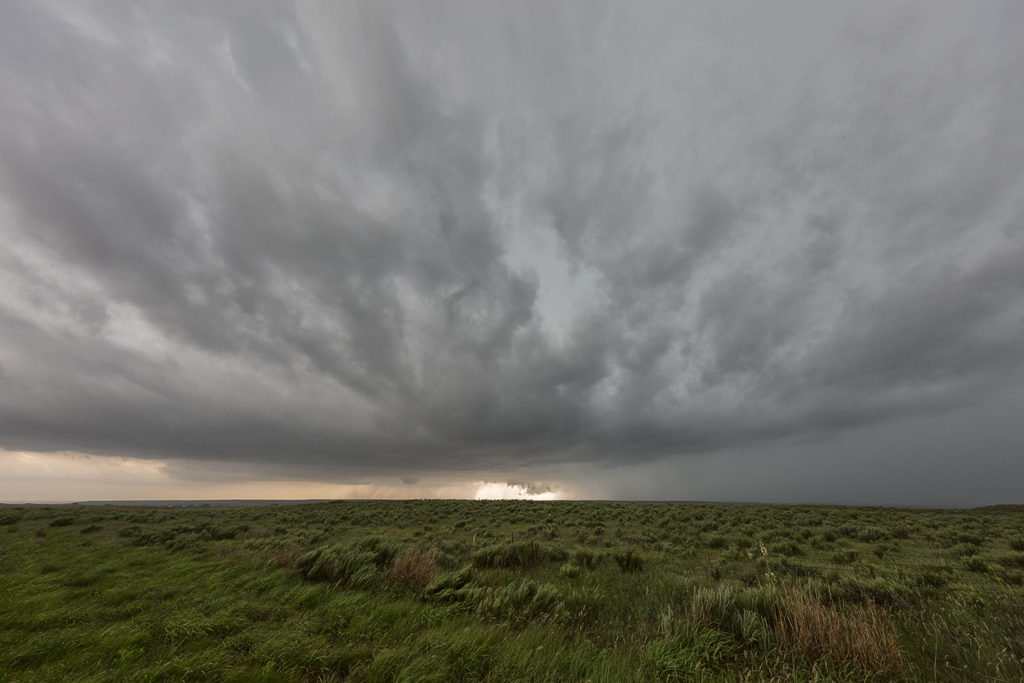
May 18th had amazing potential. Great shear, moisture and instability would be present on a day that SPC had a High Risk out for. The main caveat would be too many storms firing too fast, making for a very messy day.  We started the day near Clinton, OK and would chase the first supercell, and most tornadic, southwest of there. This storm produced a couple of tornadoes early on, then too many cell mergers would result a messy modes. It seemed that would be the result of this day, where very few tornadoes would actually occur. After chasing the initial supercell, we dropped south towards the Red River to intercept a supercell that was also tornado warned. Again too many cells on it’s upshear flank would make a messy situation on this storm as well. Still, it was a fun chase day with results that certainly didn’t support the High Risk issued.

May 16th Texas Panhandle and Southwest Oklahoma Tornadic Supercells

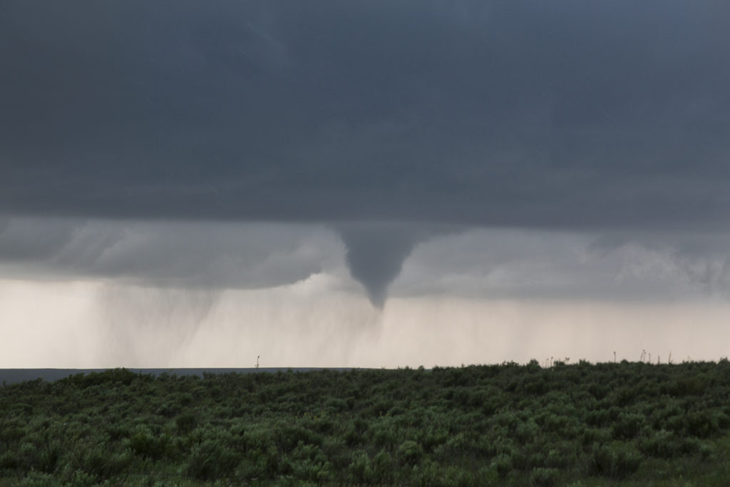
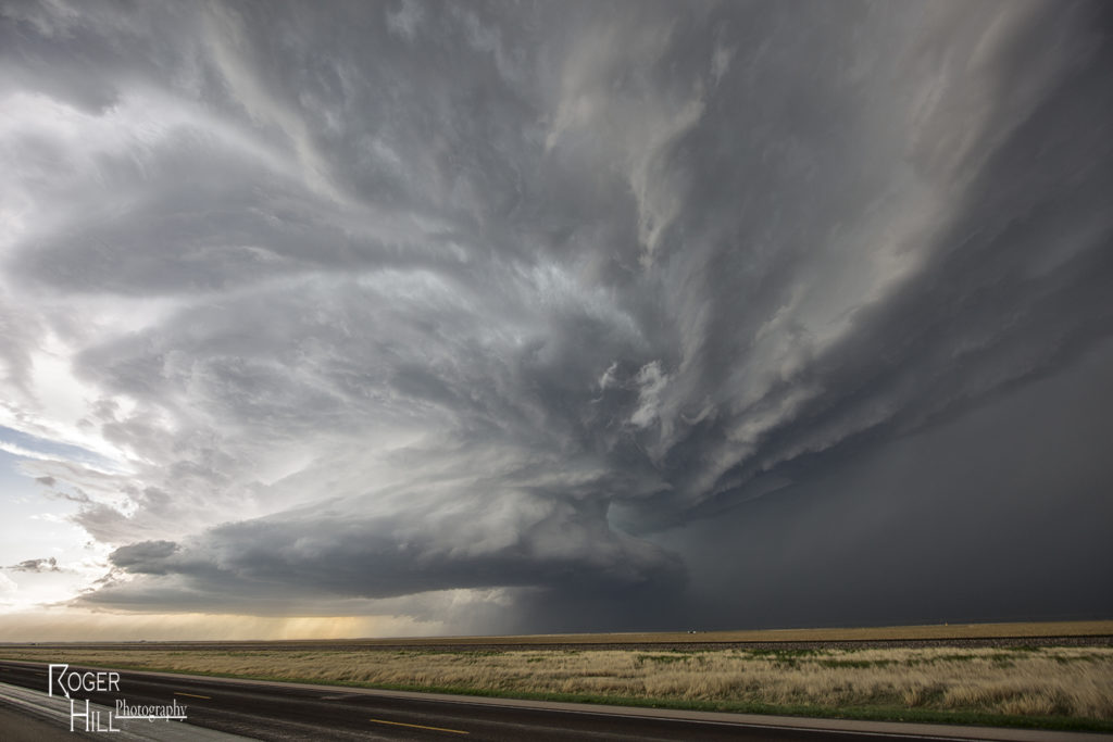
May 16th was advertised as a great potential day. The dryline in the Texas panhandle would be the focus for supercell development. It did not disappoint! Mid afternoon brought several supercells to the area, with one in particular near McLean.  Strong shear, deep moisture, great instability and lift would set the stage for several tornadoes to form this day. Most tornadoes occurred over open countryside, however one strong EF3 tornado did strike the Elk City, Oklahoma area causing significant damage. We witnessed the McLean tornado from it’s birth to death, then followed the Elk City storm from the TX/OK border to Elk City, where we chose to let it go.  The tornado was completely rain wrapped and not visible.  Storm structure was also fantastic this day, and the hail was huge, up to softball sized. Great first day for Tour 4!


July 13th Peckham, Oklahoma Gorgeous Supercell

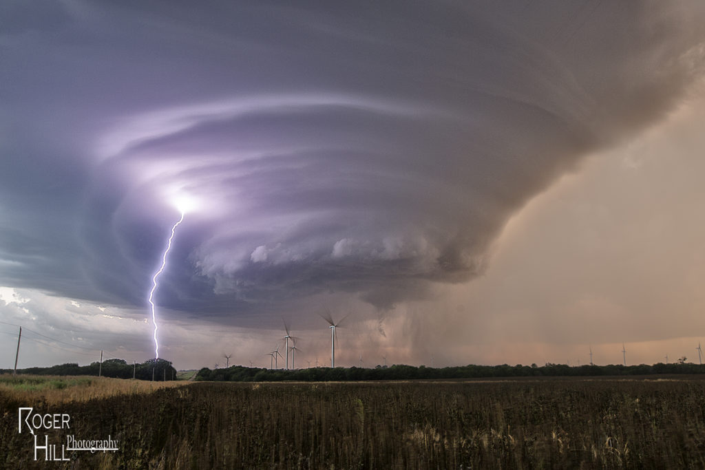
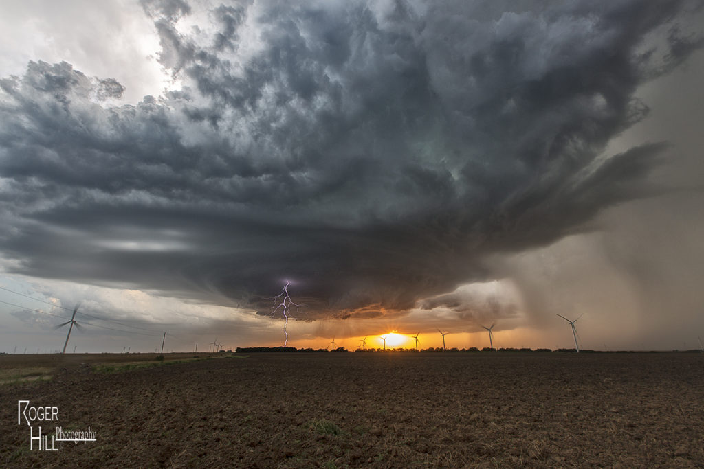
July 13th was the second great day for the Great North Tornado Hunt tour. We started the day in Wichita. Extreme heat and instability would form that afternoon with temperatures near 100F and dewpoints in the upper 70s. Cells tried to form for a couple hours along a dryline/outflow boundary composite, and finally by around 5pm a significant supercell formed just west of Arkansas City, KS. This storm quickly became severe for large hail to tennisball size. As it continued to intensify, it moved due south towards northern Oklahoma near Peckham. This storm was a striated beast. It had continuous lightning, huge hail to baseball sized, and a wall cloud that spun like crazy.  By mid evening, the storm weakened as it merged with other cells to its west, and eventually lined out moving into central Oklahoma. One of my favorite nontornadic chases of 2016!

April 15th Eva, Oklahoma Tornadoes

April 15th had potential. We weren’t sure how storm modes would end up, and the bigger question was how good of quality would low level moisture be this day. The various models were at odds with each other. We decided to target the northern Texas panhandle dryline and hope storms could form, mature and then move off the dryline into better air. We sat around the Dalhart, Texas area waiting for initiation to occur. By mid afternoon storms started to form, but due to many splits, storms never maintained for very long without having merging issues. A couple storms did intensify and one particular supercell even became tornado warned southwest of Stratford. It actually tried hard as a wall cloud formed and was steadily rotating. However, its rear flank downdraft became too strong and undercut the storm’s updraft causing it to weaken. It cycled up and down a couple times, and then near Stratford, something happened. The storm was ingesting very unstable air as inflow dramatically increased. You could see a huge dirt plume skyrocketing upward as rapid lift was occurring in the storm’s forward portion of the updraft.

A tornado warning was reissued as the storm crossed into the Oklahoma panhandle. Soon a cone shaped funnel formed and was visible for about 5 minutes before it dissipated. The structure of the supercell was top notch as a sculpted liberty bell formed and spun wildly. We raced up the highway towards Eva and sat on US 64 east of town about 5 miles. An elephant trunk shaped tornado soon formed and stabbed the ground a few times and dissipated. Quickly another larger truncated cone shaped tornado formed and stirred up dirt and debris for a minute or two and also dissipated. As the supercell crossed 64 heading towards Eva the supercell had a very strong RFD surge as a new wall cloud quickly lowered to our northwest. Soon a pretty white elephant trunk shaped tornado formed, followed by a second one just to the east of the first. These two danced around for 10 minutes, often creating multiple vortices under them and then dissipated soon afterwards. By this time darkness was approaching and the storm was weakening, so we broke off our chase and headed for home.  Great day and fortunately all tornadoes occurred in open country!

March 30th Northeast Oklahoma Tornadoes

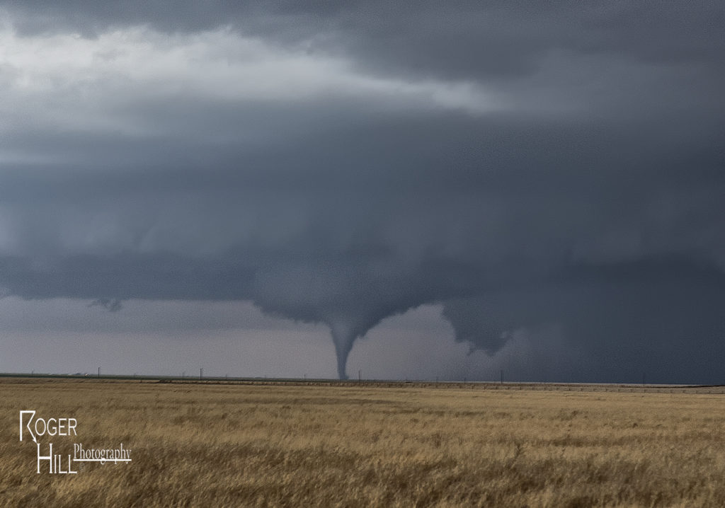
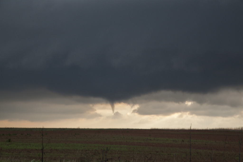
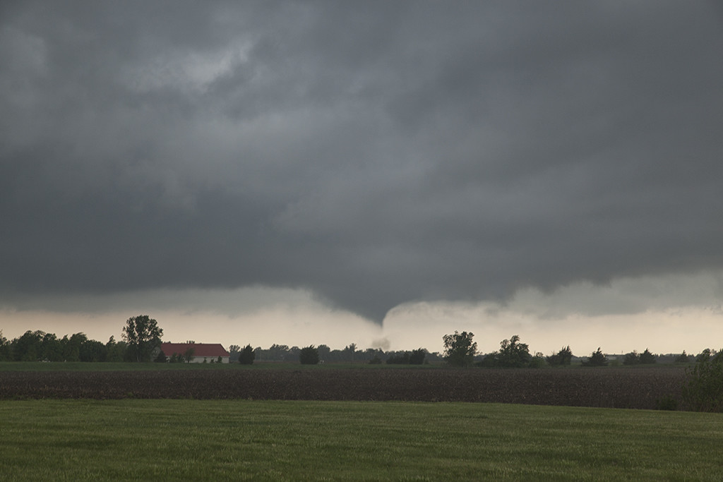
March 30th took us to northeastern Oklahoma and southeastern Kansas on our first chase of the season for a day that promised intense storms and strong tornado potential. Things got messy pretty quickly in southeastern Kansas so we dropped south into northern Oklahoma.  First, just south of Caney, Kansas an intense supercell formed. This storm had an amazing wall cloud that was rotating rapidly. It became tornado warned, but due to too many cell mergers, it never produced. We dropped south towards Nowata, Oklahoma as a tornado warned supercell approached. This storm had incredible structures and soon dropped a truncated cone shaped tornado (rated EF1) northeast of town that skipped across the countryside for 5-10 minutes before dissipating.  The supercell continued northeast from there and dropped a second tornado (rated EF0) in open land.  This tornado actually looked stronger as darkness set up, but we were never able to get close enough to it.  Fun chase day, great results, and a long trip back to Denver.

May 19th Terral, OK Tornadoes

Day 1 of our Prime Time tour lived up to it’s name. A warm front/outflow boundary was situated over southern Oklahoma with an extremely moist and unstable airmass. CAPE values were in the 2500-3000 range with 50 knots off bulk shear. We sat near Wichita Falls, TX awaiting messy initiation, which did not disappoint! By mid afternoon tornadic storms formed just north of Wichita Falls and moved into southern Oklahoma. This storm became HP quickly and a rain wrapped tornado occurred. We decided to drop a bit south and play a tail end storm east of Wichita Falls which ended up being the Terral, OK storm. It spun wildly and was extremely electrified! Soon a wall cloud formed but wrapped in precip obscuring its view. We decided to drop south and sneak in behind the area of precip and were rewarded with 2 tornadoes, one of which nearly wedged. A fun day, a lot of work, but very high rewards!


May 16th Elmer, Oklahoma Violent Tornado

An amazing day was to unfold across southern Oklahoma on May 16th.  A dryline and outflow boundary intersection would become the favored point for intense supercell storm development by late afternoon. We cut east to get in front of the Elmer, OK storm and watched as the updraft started spinning wildly. Within a few minutes a very large tornado formed just southwest of town. This tornado would grow to enormous proportions and skirt the south side of town on its way towards Snyder. We were on the north side of the tornado as it moved northeast and had an amazing view! Soon, though the approaching tornado would require us to move eastward along its path and it continued to give us a fanastic view!

After the storm became messy, we dropped south to Walters, Oklahoma where a beautiful supercell, highly striated, would produce a cone tornado. It was a day nobody on tour will ever forget! To see and hear the raw power of a violent tornado is something to remember forever!


May 6th Southern Kansas/Oklahoma Tornadic Supercells

A complicated scenario was unfolding this day. Chase well north along the warm front or play south on the nose of the dry punch. We chose the latter. By mid afternoon storms exploded freely in the warm sector and produced a few tornadoes. We intercepted one tornadic storm near Goddard, Kansas, followed by a beautiful supercell near Renfrow, Oklahoma. Fun and exciting day for everyone!