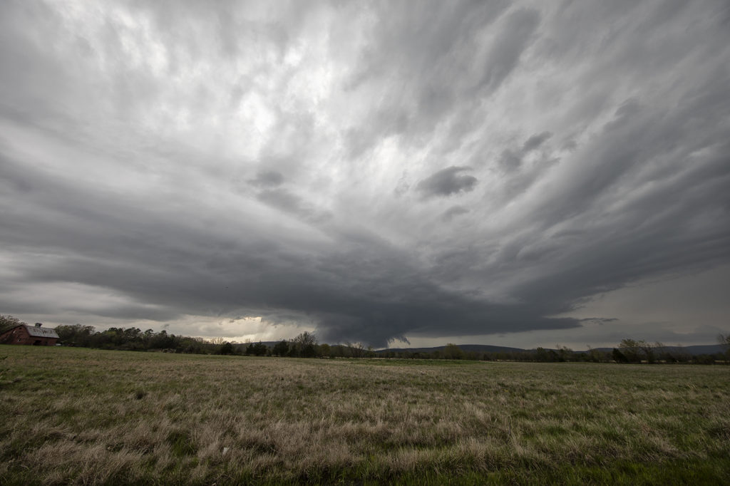
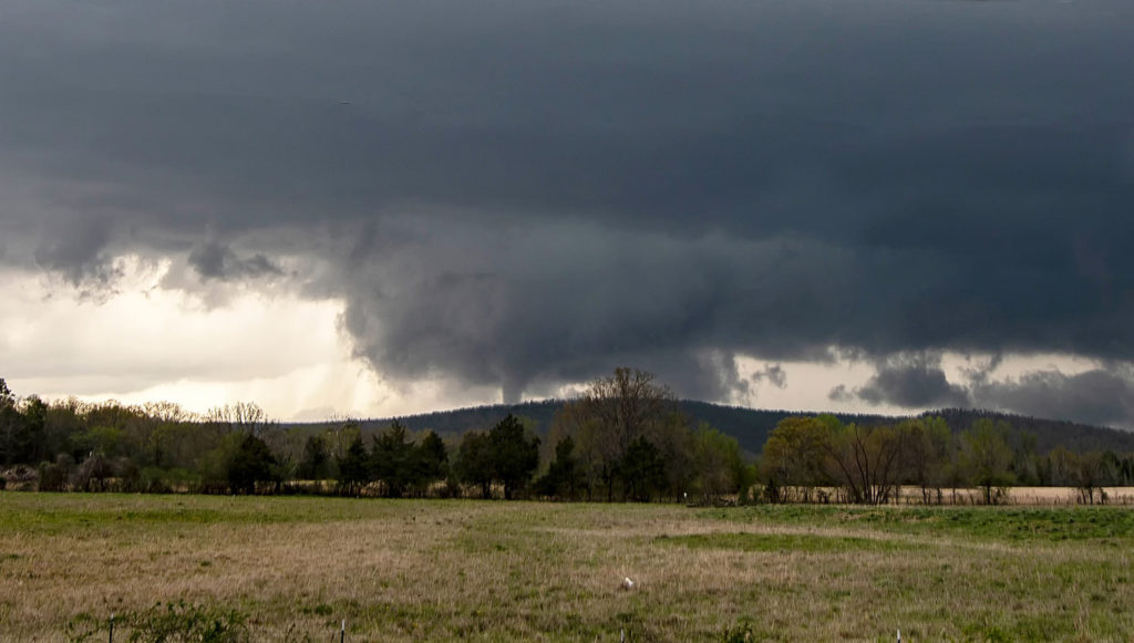
The ingredients for severe storms on June 23rd were there. We only needed a focusing mechanism to get a storm to form on and ride along the boundary. It certainly did! An outflow boundary from previous night’s thunderstorms lay across the I-70 corridor in central Kansas. Storms formed along it and continuously crossed northward into the colder, more stable air. As they did, they weakened and moved off to the northeast. Finally, a storm formed along the boundary at the intersection of the dryline and anchored along it. It started spinning wildly as we sat just a mile east of the updraft and watched low stratocumulus race westward into the updraft twisting and turning along the way. At that point it was just a matter of time before a tornado would form. During the next 3 hours at least 6 tornadoes occurred, although most were brief, dissipating within a couple minutes. We first had a slender slanted tornado that touched down near Wilson Lake. It didn’t last more than a minute. Next another tornado, a slender elephant trunk touched down just west of Dorrance. Little did we know, but another larger tornado was not visible from our position, so we moved east to get in front of the supercell updraft. The structure was insane! While we drove that 3 miles east, the larger tornado came out of the rain and near the interstate. One of our long time guests, Cathy Murphy snapped a shot of it out the rear window. (Thanks Cathy for letting us use your image!) We continued to move east as the storm also moved east, spinning like crazy the whole time. Another white tornado from our view formed near a cluster of wind turbines and was confirmed a brief touchdown. Eventually we ended up just west of Salina as the final tornado formed and also briefly touched down just before the storm died. A heck of a day! Great structure and a few tornadoes to boot! Enjoy the pics! A Youtube video will be releases shortly from this day! Check out our channel!
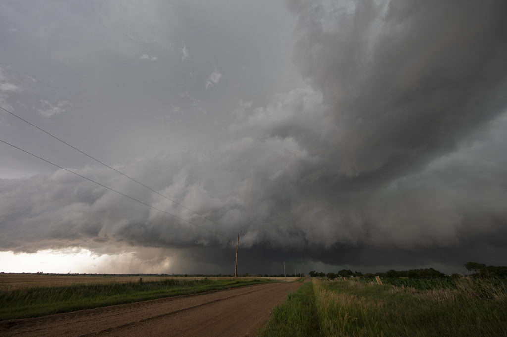
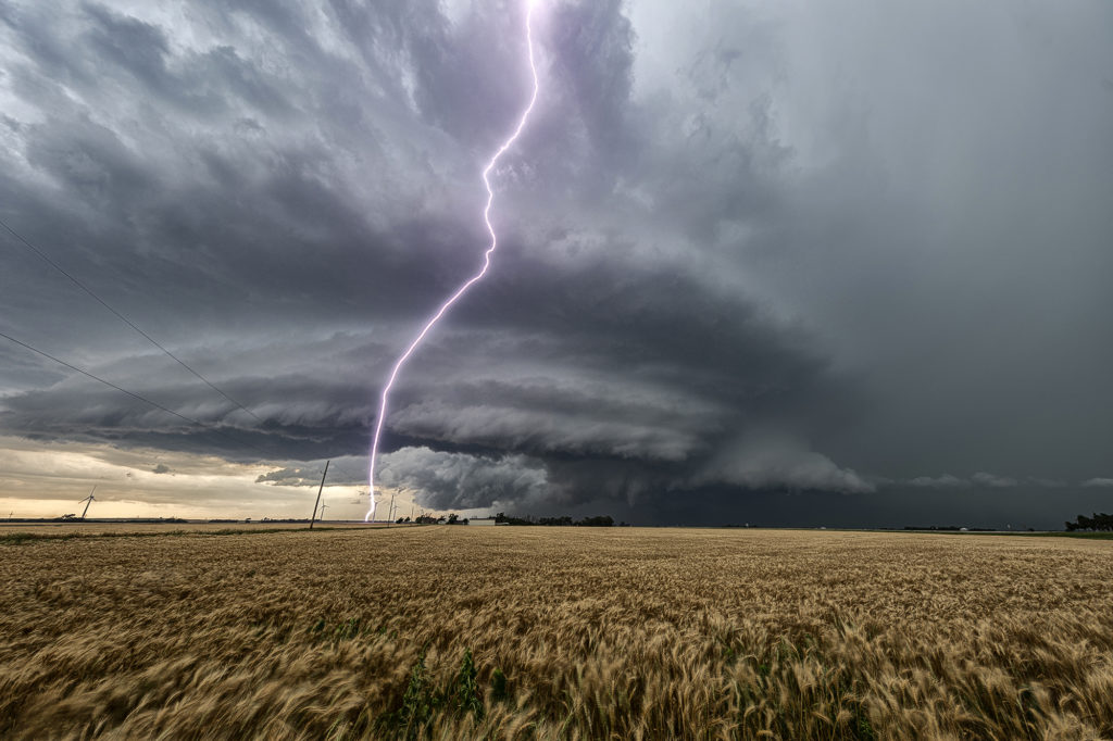
June 9th Southwest Nebraska Gorgeous Supercell!
June 9th had one target for us, southwest Nebraska. An existing boundary would be the focal point for storm development that afternoon. Numerous storms formed, several becoming severe, however only one would survive and be the storm of the day. This supercell formed south of North Platte, NE and turned hard right, spinning like a top all the way to Oberlin, KS. The structure was top notch. When it first got its act together, it did have a slowly rotating wall cloud. We thought for a minute it might try to become tornadic, but the wall cloud eventually disappeared. As the storm moved south, it had the appearance of a mothership, and as it moved into Kansas as a low precipitation supercell, the structure at sunset was just stunning! A great day for the tours and an amazing way to end the evening! Enjoy the pics!
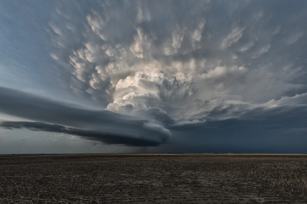
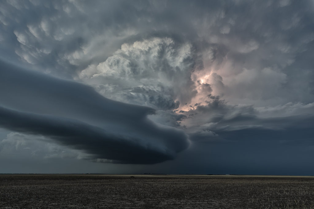
June 7th Northeast Colorado Tornado Warned Supercells
June 7th took us to the north side of the Cheyenne Ridge, playing the upslope there with moderate shear, decent moisture and instability. Several storms formed, with a couple becoming supercells and even tornado warned. It is amazing what some chasers call a tornado (landspout) when it occurred in a part of a thunderstorm that landspouts wouldn’t even form in! Stay tuned to a narrative we will publish explaining how and where a landspout would form.
These storms moved southeast into northeast Colorado and became quite intense, producing very high winds and baseball sized hail. The continued moving southeast eventually into northwest Kansas and were continuously tornado warned or severe warned. Structure was very nice as they marched into central Kansas overnight. A fun day for the tours with plenty of excitement with the storms as we moved in very close to where rotation was, but no tornadoes were confirmed. Check out the images below!
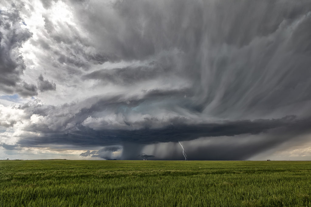
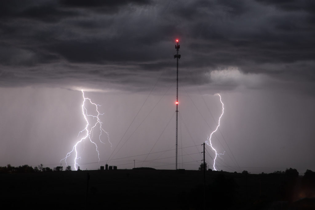
June 6th Western Nebraska Supercells
Sometimes you get a set up where shear is really strong, but moisture is a bit lacking. June 6th was one of those days where if only the moisture and resulting instability were a bit stronger that a significant severe weather event would occur. It looked like storms would form off the Black Hills and ride a frontal boundary to the southeast. By mid afternoon, a supercell formed northwest of Thedford, Nebraska and became severe. As it moved east it weakened while others formed further northwest. A storm did form off the hills and trek southeast into northwest Nebraska and became a formidable supercell. The structure was nice and the colors of the storm were superb! Having it in the sand hills is always a challenge to chase due to lack of roads. We were able to stay with it all the way past Stapleton before it eventually weakened to the southeast. A fun chase, pretty structure and beautiful landscapes! Enjoy the pics!
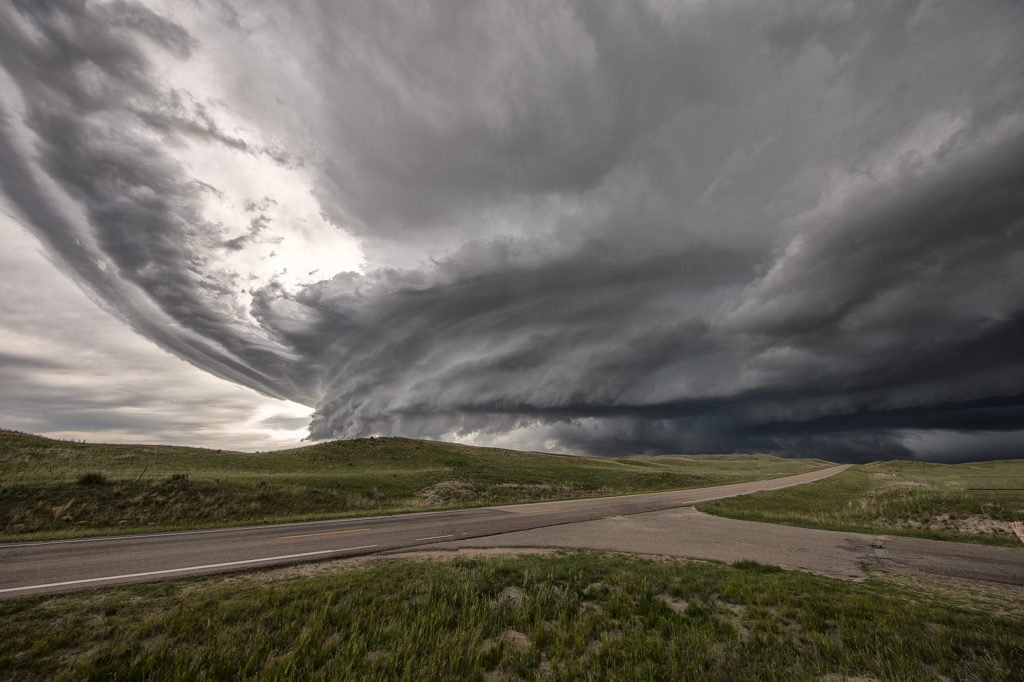
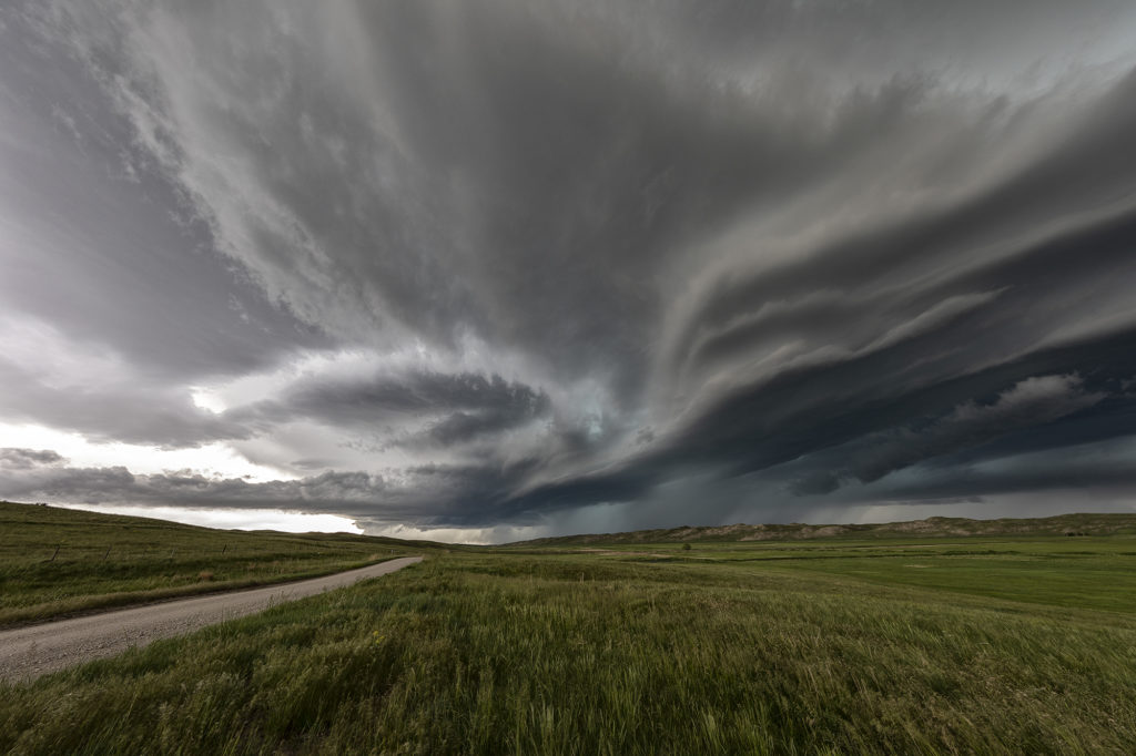
May 29th Central Nebraska Tornado Warned Supercell
May 29th was the classic “day before the big day” type set up. Moisture and instability were rapidly increasing along a lifting warm front in Nebraska, and shear was quite strong. Models showed late afternoon and early evening supercells forming north of Broken Bow and that is exactly what occurred. It took awhile from the main supercell to root along the boundary and get organized, but once it did, it became a formidable storm! Eventually it became tornado warned as it moved to the northeast and stayed warned for a few hours. Due to storm motion and poor roads, it became virtually impossible to stay with it. Near O’Neill we had to let it go and head to Sioux Falls, SD for the night. The storm had good structure, and it had a well defined rotating wall cloud. It just couldn’t tighten enough to get a tornado to form. Enjoy the pics!
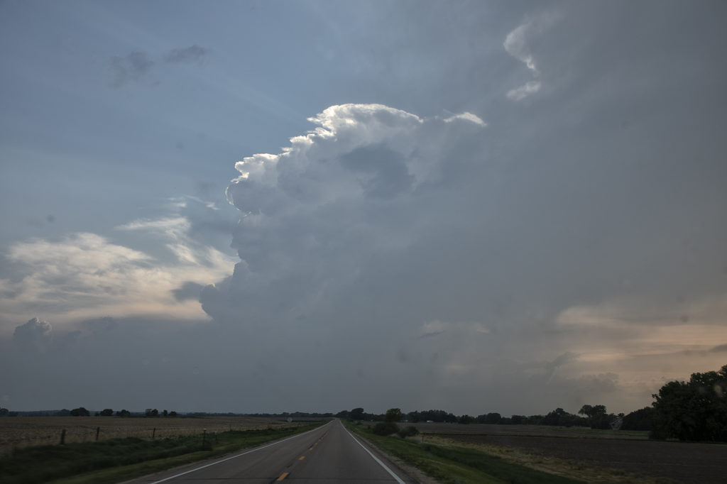
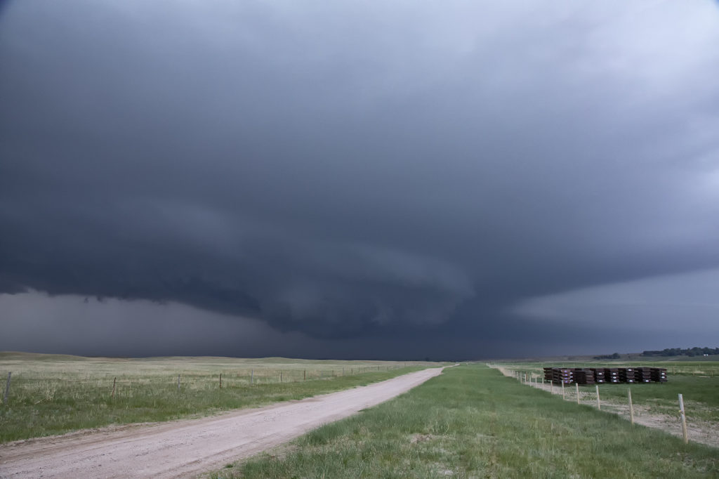
May 24th San Angelo, Texas Supercell
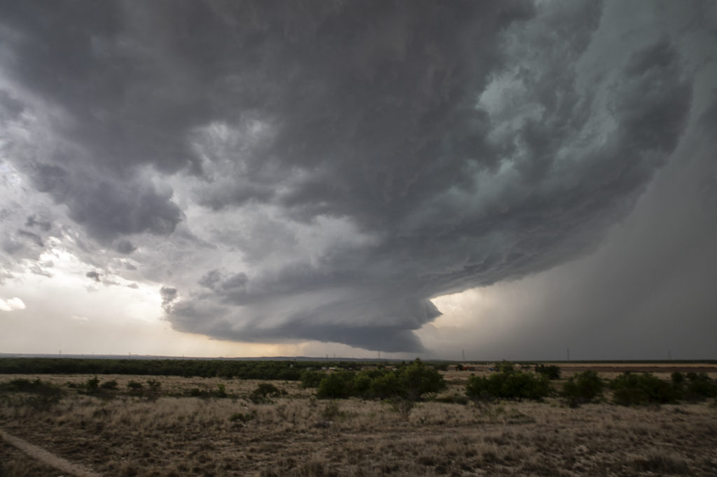
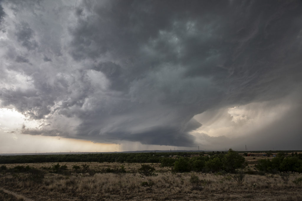
We weren’t expecting big things this day. An advancing cold front was pushing south across the area near San Angelo and the fear was it would undercut storms that would develop. As we arrived, one storm rode the boundary for a couple hours before being undercut and became for formidable supercell. It dropped hail the size of softballs and had some really pretty structure. However, as feared, the cold front continued to push south and undercut the storm. From then on it was a battle to stay ahead of anything that wouldn’t be undercut as the front continued its steady push southward. A quick end to the day, but still a fun day w
ith a great supercell!
May 14th Southern Kansas/Northern Oklahoma Supercells
Lack of low level moisture was the theme this day. Good shear was present, however due to limited moisture, cloud bases were too high to produce tornadoes. Storms formed over south central Kansas and right turned into northwest Oklahoma as they became supercells. One storm even developed a clear slot and tried to produce a funnel. The intense lightning caused several grassland fires as well. Hail to the size of tennisballs also fell. They persisted through early evening before weakening due to loss of daytime heating. Very photogenic to say the least!
April 27th Southwest Kansas Surprise Beautiful Supercell
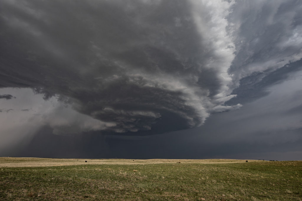
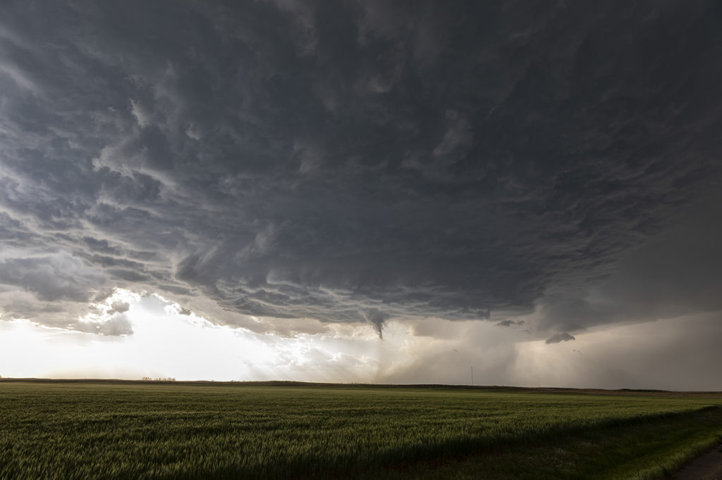
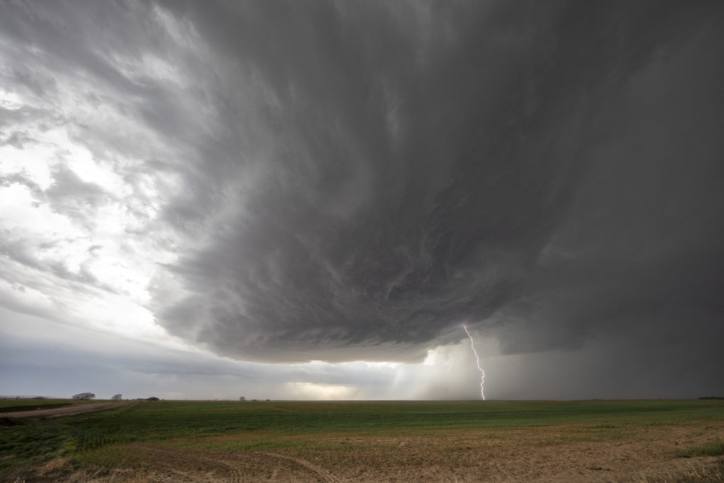
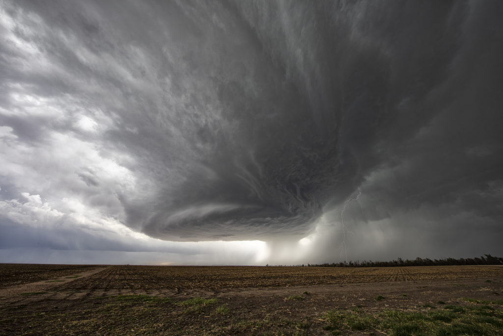
Certainly not expecting much this day as moisture was greatly lacking with dewpoints only near 50F. Shear was good and there was a boundary present as a weak cold front was drifting southeast through the area. Numerous high based storms formed and didn’t do a whole lot, but finally one formed southwest of Dodge City, Kansas and started getting organized. A severe thunderstorm warning was issued and soon the storm developed a nice circular rotating base and vault region with copious amounts of hail falling out of it to the size of tennisballs! The storm persisted for a few hours and was eventually overtaken by a line of storms that formed along the advancing front. The structure of this high based supercell was quite impressive and it was also a lightning machine! We hope you enjoy the pics!
April 21st Southwest Kansas Tornado Warned Supercell
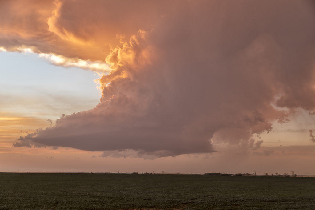
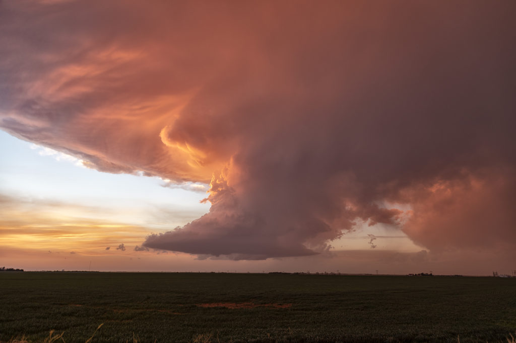
Tour 1, Close Encounters started off the tour season with a bang! On arrival day, we blasted to southwest Kansas near Coldwater and caught a pretty LP supercell spinning like crazy! It became tornado warned early evening and tried to produce a funnel. It did not produce any tornadoes. The prettiest thing about this storm were the sunset colors lightning up the underside of the anvil and mammatus clouds. A great start to the official 2022 tour season! Enjoy the pics!
April 11th, 2022 Talihina, Oklahoma Tornado
We couldn’t resist running an on call tour during the week of April 11th. We gathered the guests early in the morning and departed Denver, headed for southeastern Oklahoma. Tough countryside to chase in with the Ouachita and Kiamichi mountains providing plenty of obstacles. However the set up would too good on paper to resist making the 850 miles trek there! High dewpoints, high CAPE, strong shear and a lingering boundary would provide all the ingredients needed for supercells. As we blasted there, about 120 miles out a supercell formed, earlier than models showed, and moved slowly eastward through Ft Smith, Arkansas. Knowing there was no way to catch it, we set our sights on another storm southwest of there. As we approached , it became better organized and soon became severe. We dropped south at Sallisaw, OK toward Poteau and it was evident we needed to get even further southwest to cut in front of this now tornado warned supercell. Coming over the mountains near Talimena State Park, we got a glimpse of a huge block shaped wall cloud. As we approached Talihina, we stopped to watch it wrap up. Within a few minutes it dropped a tapered cone tornado.
Not wanting to let is go through the mountains, we followed it eastward as radar continued to show a massive hook echo, often indicative of a potential tornado. We ended up the Talimena Scenic Drive, which is a stunning high road with views of the mountains at many places. We were on top at 2000 ft with a view of a massive wall cloud to our north and several cg lightning strikes. We stayed with the storm for another hour as sunset came and darkness ensued. We let the storm go as it was steadily weakening and heading into Arkansas. A fantastic chase, caught our first tornado of the year, and was reminded just how difficult it is chasing in the mountains of eastern OK/western AR! Enjoy the pics!