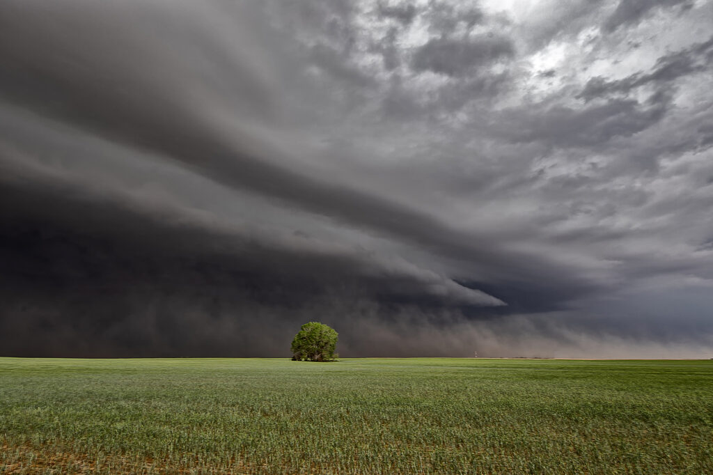
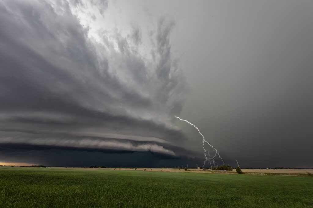
May 11th had a lot going for it. Good upslope flow into the Raton Mesa, decent moisture and instability and great wind shear would set the stage for supercells this day. Storms formed early afternoon and became tornado warned. We blasted west from the Oklahoma panhandle into the mesa in time to watch a supercell get very interesting. Couldn’t confirm any tornadic activity, but it certainly looked like it had potential. This storm also produced baseball sized hail and high winds. It was a treat to photograph and watch spin across the mesa into the Oklahoma/Texas panhandle. Fun day for all the guests who witnessed this beauty! Enjoy the pics!
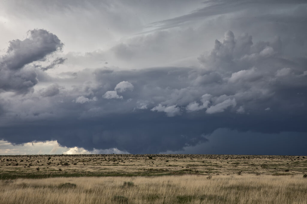
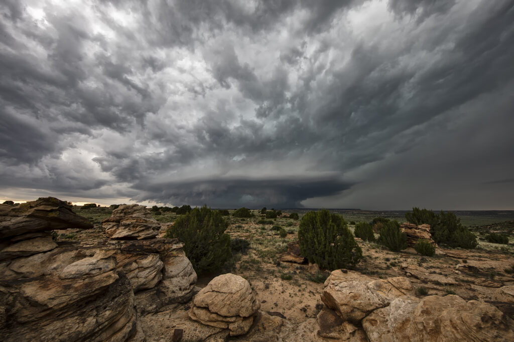
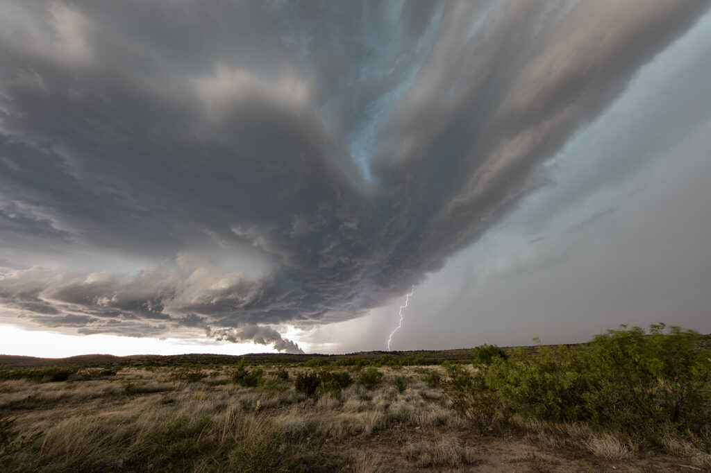
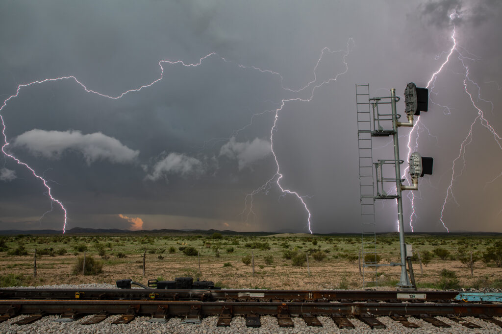
June 7th Marathon, Texas Supercell
With a poor weather pattern forecast, we went to where the best combination of shear, moisture and instability were forecast, near the Davis Mountains of southwest Texas. Storms formed mid afternoon and intensified, with a supercell forming near Marathon, Texas and drifting southeast. It had good structure and was producing numerous cg strikes. As it moved towards Mexico, more storms formed west of town and also produced a lot of lightning. We encountered golfball sized hail and plenty of wind with the initial supercell!
May 31st Roswell, New Mexico Incredible Supercell
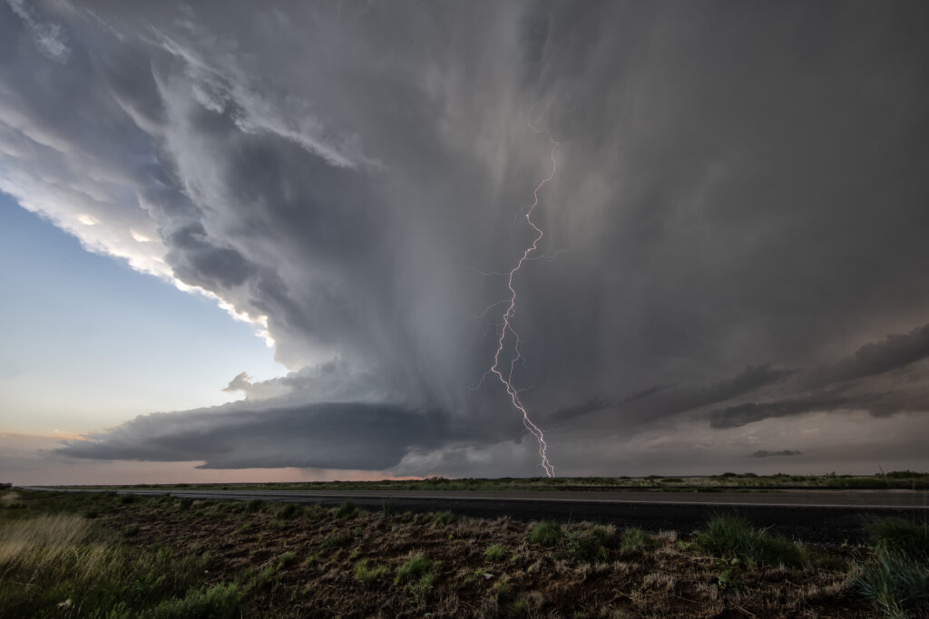
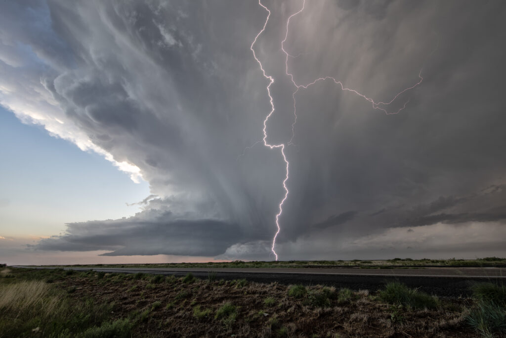
May 31st had potential in the western Texas panhandle and southeastern New Mexico. Storms exploded in New Mexico, and a couple became tornado warned. Those clustered and moved into west Texas. A few hours later, more storms formed near Roswell. With good upslope flow, decent moisture and instability, they quickly became severe. One storm, on the southern end of a cluster, became a supercell. The structure was amazing and the electrification was phenomenal! We stayed with it till dark when it weakened and the lightning ceased. One of the prettiest LP supercells of the season to date! Enjoy the pics!
May 24th Eastern New Mexico Tornadic Supercell
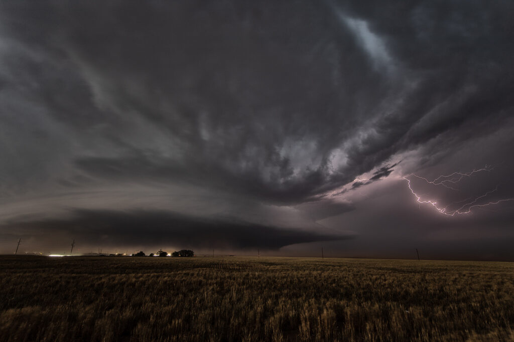
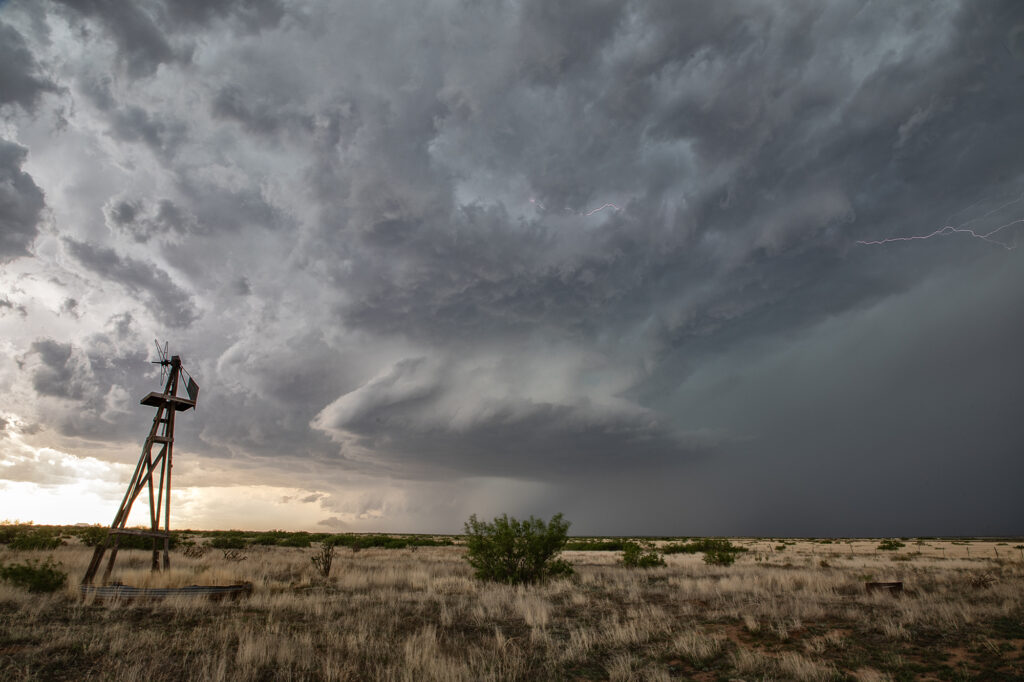
What a day! May 24th looked great in the models, and in real time, it was amazing!! Violent supercell thunderstorms congealed into one monster that dropped from Tucumcari, New Mexico southward to Clovis over a several hour period. Insane lightning and incredible storm structure persisted its entire life cycle. It also produced a few tornadoes, of which we caught a couple of them. During the early evening hours, as the storm approached Clovis, the inflow into this supercell was over 60 mph! Just showed the power of this HP storm! As it moved into far west Texas at dusk, the structure was constantly illuminated by incredible lightning. One of the most powerful supercells of 2023 to date, and it was a sight to behold! Enjoy the pics!
May 23rd West Texas Supercells
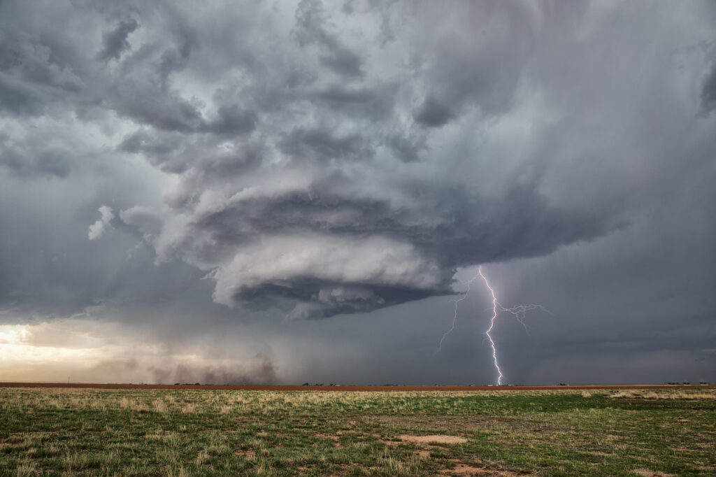
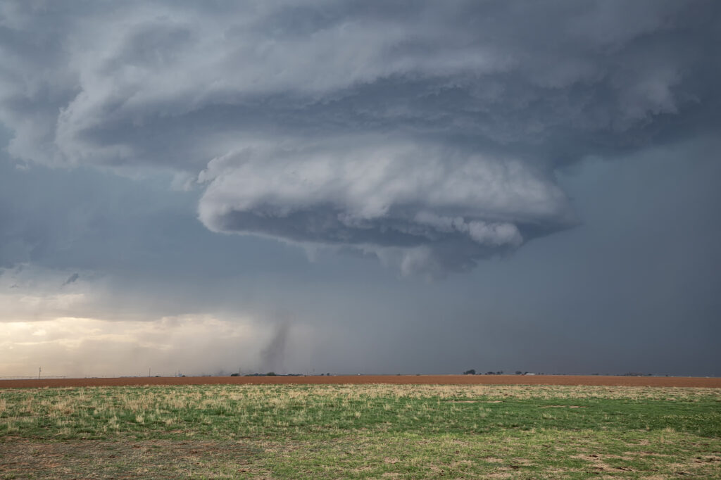
May 23rd brought great wind shear, but marginal moisture. Several supercells formed along the TX/NM border east of Clovis, NM. One high based storm took on the classic spaceship appearance and was visibly rotating. A little nubby funnel formed and even touched down briefly (confirmed by the NWS). It was quite pretty and also produced a lot of lightning strikes. As it moved east it became less intense so we blasted to a boundary southeast of Plainview, TX. This storm tried to produce, but low level shear was just too weak. It had great structure as well and spun hard for a couple hours before weakening. A great day with the environment we had! Enjoy the pics!
May 22nd Texas Panhandle Supercells
May 22nd brought decent moisture, good instability, a Texas dryline and moderate shear. By early afternoon, cumulus towers were forming along the dryline from Amarillo south to Lubbock. A bulge in the dryline was evident around Tulia and that’s where we intercepted our first supercell. It only took about an hour for the storm to really get organized and quickly a small funnel cloud formed. It persisted for a couple minutes. A blocky wall cloud formed and started rotating. However, it was quickly undercut as a new cell formed to the southwest. As the storm weakened another supercell formed northwest of Lubbock. We headed south for that one as a ragged wall cloud formed. As the storm moved east, it encountered higher temperatures and lower dewpoints which caused the storm to become high based, thus lessoning the chance of it producing a tornado. It did produce a high based funnel near Crosbyton and also produced hail golfball sized. Soon after, it weakened coming off the caprock and the chase was ended.
May 19th Texas Panhandle Tornado Warned Supercell
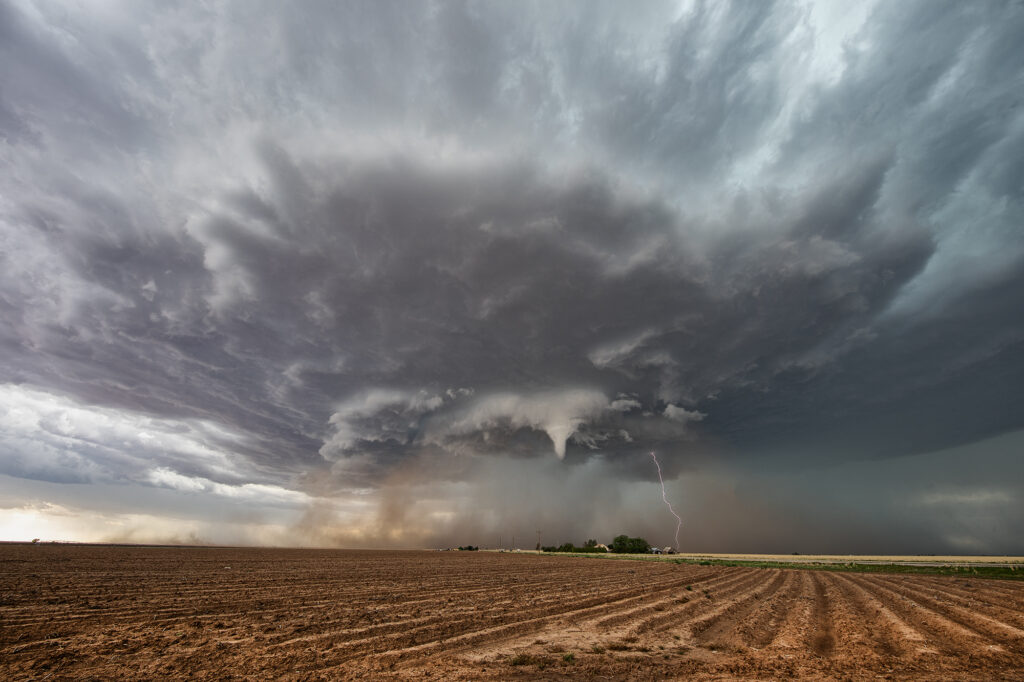
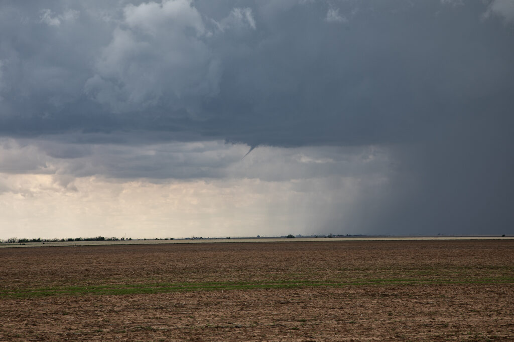
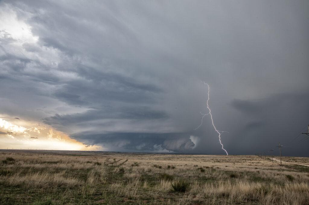
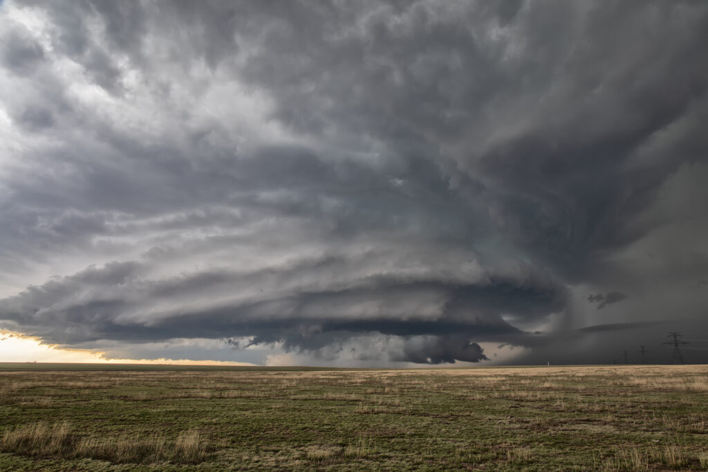
May 18th featured a short wave trough moving into the Texas panhandle. It also had a dryline extending along I-27 south and north of Amarillo. Storms started forming mid afternoon along the dryline. Although they couldn’s sustain themselves and eventually died off, they did produce some severe weather. Late afternoon a cluster of storms formed northwest of Amarillo. Due to weaker wind shear, we hoped something would emerge from the cluster due to storm interactions. It certainly did! A supercell emerged west of Chunky, TX and drifted slowly east. It tried to produce a tornado a few times, and was tornado warned. It could never keep a rotation couplet tight enough to produce one. The storm produced baseball sized hail and had very pretty structure. Whenever you get that stack of plates look, you know it is a special storm! Moving very slowly east, it kept it’s intensity for several hours before finally decaying mid evening. A great day and a fun chase! Enjoy the pics!
May 13th Pleasantville, Iowa Tornadoes
May 13th showed significant moisture and instability along a warm front and outflow boundary from previous days’ convection. The boundaries met and formed a triple point southwest of Des Moines, Iowa. Storms fired very early by 1pm and became tornado warned. Nothing significant formed but we stayed with them. Several false reports of multivortex tornadoes occurred, which has been the case all spring. The old philosophy of if you aren’t sure it’s a tornado, it is not one should be taken by many storm chasers! Numerous tornado warnings were issued, and the monster supercell spun like crazy. It eventually weakened as it moved east off the boundary. Another supercell formed southwest of Pleasantville and produce at least 3 tornadoes that we witnessed. A multivortex, an elephant trunk and then another multivortex that was less than a quarter mile from us! The motion was incredible right over the vans as this tornadic storm drifted northeast and produced. An overall exciting day that the guests loved! Enjoy the pics!!!!
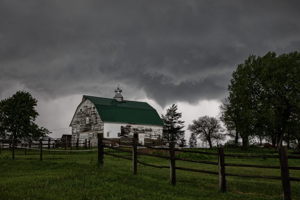
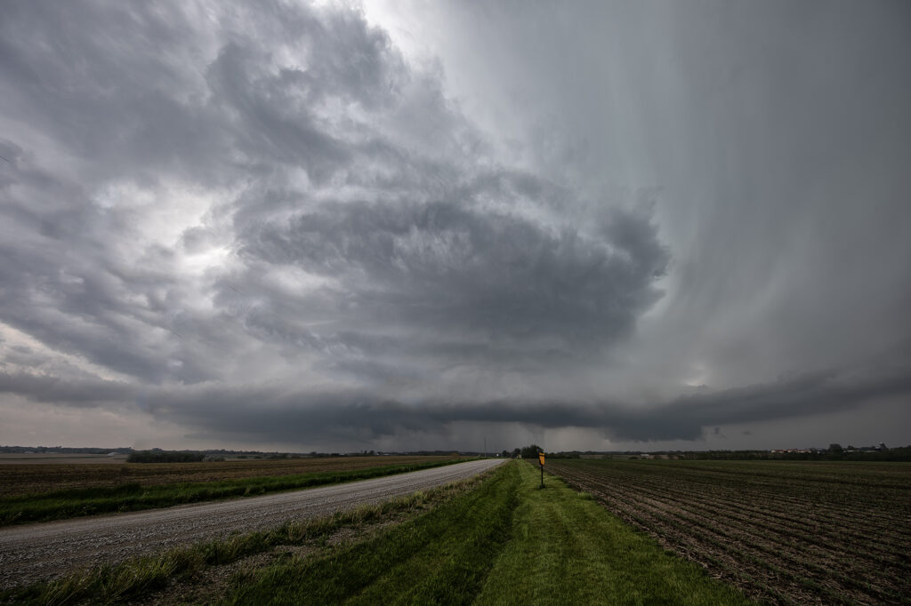
May 10th Akron, CO Tornado and Supercell
May 10th had great potential in eastern Colorado. Upslope flow, and approaching short wave, good moisture and moderate instability would set the stage for intense storm formation by early afternoon. Initial storms would cluster and produce copious amounts of hail around the Denver metro area and just east. A boundary draped along I-76 eastward towards Wray would be the focus for a few supercells that would produce a couple tornadoes. We were heading towards Akron when we encountered a HUGE line of chasers stopped at construction red lights. This delayed us almost 30 minutes! We ended up watching a tornado from the construction back up and had no way to get east due to flooded and extremely muddied dirt roads. A frustrating day, but at least we managed to catch a tornado!
May 9th Central Kansas Supercells
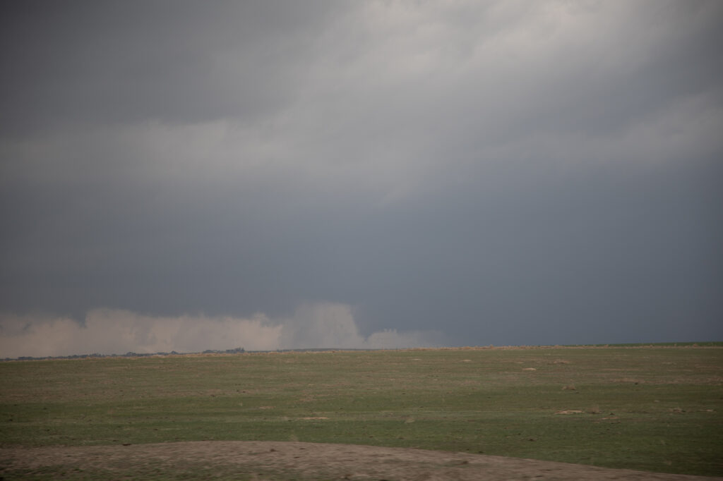
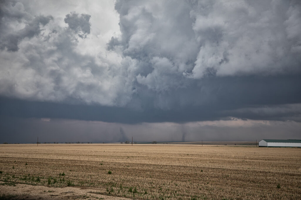
Surging outflow would be the big deal this day. Storms would form on the cold side of a boundary and have very little tornado threat. However their structure was quite pretty. Elevated supercells would produce hail up to softball size and torrential rain. We chased one storm from near Larned, Kansas east towards Hutchinson. A couple other elevated supercells also formed just to the southwest and became hailers as well. With the elevated nature of the storms, the tornado potential was near zero. Hopefully the huge hail didn’t cause too much damage to the farmlands and ranchers in the area!