
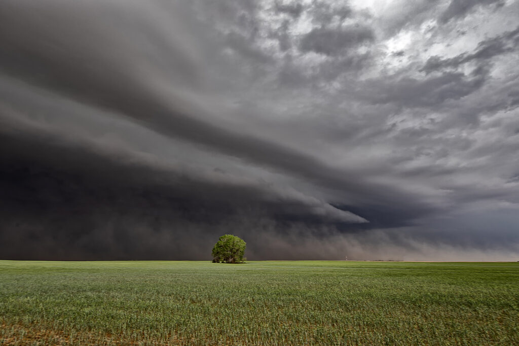
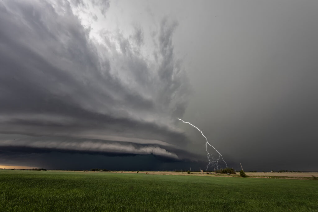
May 9th Central Kansas Supercells
Surging outflow would be the big deal this day. Storms would form on the cold side of a boundary and have very little tornado threat. However their structure was quite pretty. Elevated supercells would produce hail up to softball size and torrential rain. We chased one storm from near Larned, Kansas east towards Hutchinson. A couple other elevated supercells also formed just to the southwest and became hailers as well. With the elevated nature of the storms, the tornado potential was near zero. Hopefully the huge hail didn’t cause too much damage to the farmlands and ranchers in the area!
No comments yet.