
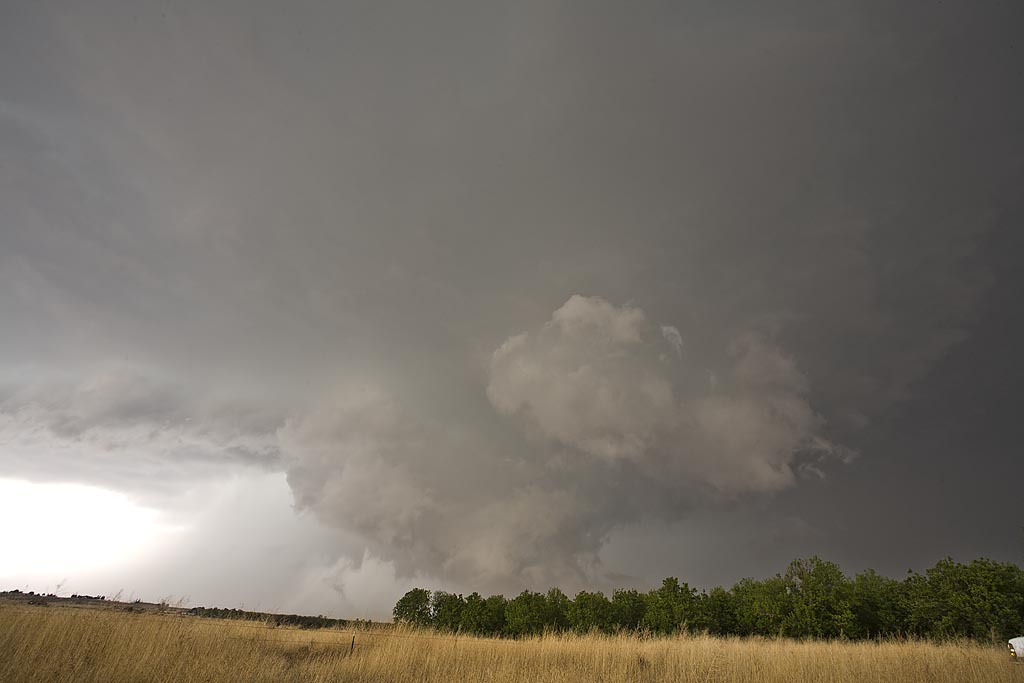
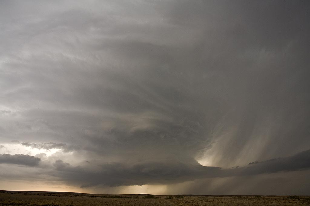
May 6th, 2008 Roswell, New Mexico Supercell
May 6th had good supercell potential, but the tornado threat was minimal with marginal low level shear. Upslope flow would develop into southeast and east central New Mexico and generate supercell thunderstorms of f the mountains west of Roswell. This beautiful supercell formed and gave us a spectacular show as it tracked eastward across all of east central New Mexico and was eventually tornado warned. It did not produce a tornado, but produced hail nearly softball size. The structure was text book classic, then morphed into a monstrous hp supercell.
No comments yet.