
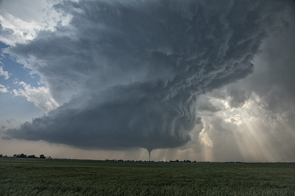
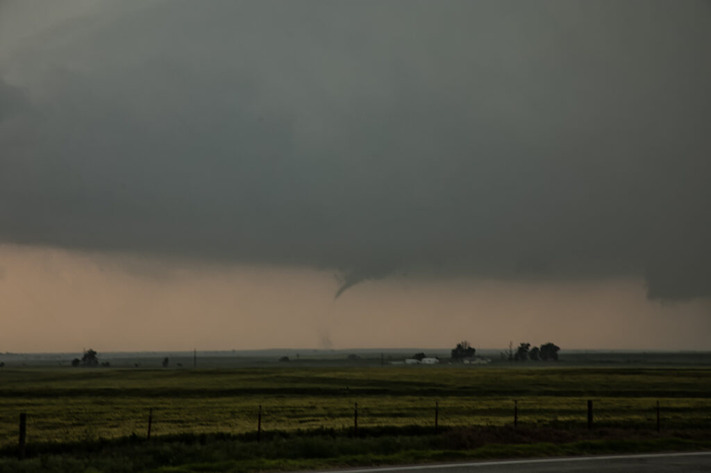
May 18th Arnett, OK Tornadic Supercell
May 18th looked like a big day on paper. And it certainly fulfilled those expectations! There were a couple potential plays. Western Kansas to the north of the low, and western Oklahoma along the dryline where the subtropical jet punched in to it. After much deliberation, we chose western Oklahoma. Both targets produced and produced big! By mid afternoon multiple updrafts formed along the dryline, where a bit of a bulge was present. The southern most updraft ended up becoming the dominant one and quickly developed into a major supercell. We positioned ourselves down wind of it so we could look at the structure and well as any potential tornado development. Soon, a slender elephant trunk shaped tornado developed and danced across the ground for a few minutes. After it roped out, another funnel formed, but we couldn’t tell if it touched down or not. Moving back east into Arnett, we watched as a merry go round formed under the updraft base and eventually a stout tornado developed. This tornado unfortunately did cause damage and was given an EF3 rating. It came very close to town before it roped out. Another tornado developed from a new mesocyclone as often occurs in cyclic storms and dropped a tapered cone tornado that was on the ground for several minutes. As the storm continued moving northeast, it encountered cooler more stable air and eventually died off. A fantastic day for the tours and an amazing storm to watch! Enjoy the pics!
No comments yet.