
June 22nd Central Nebraska Supercells!
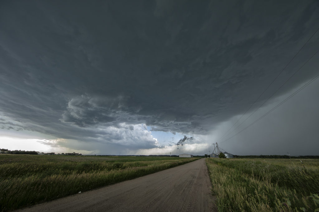
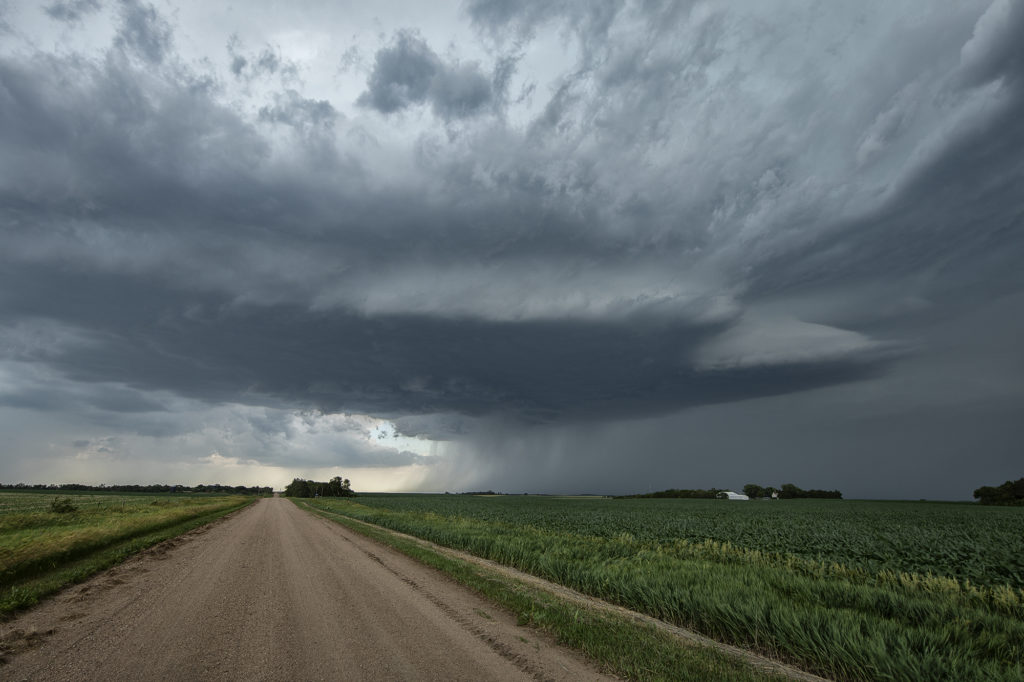
June 22nd didn’t have a ton going for it. It was one of those surprise days when the atmosphere over performed. We started the day in York, Nebraska and just drifted north to Norfolk. Shear was pretty decent, but low level moisture had been scoured out by the Pella, IA event two days earlier. However enough moisture was present, as well as instability, to fuel a few supercell thunderstorms along a boundary over northern Nebraska. The first supercell we witnessed was a high based, hail and wind producer. Structure was decent. The second more intense storm occurred north of York (funny how this storm drove us right back to our hotel again that night in York!) and produced baseball sized hail and 70 mph plus winds. Structure on this storm steadily improved as it encountered greater moisture the farther south it traveled. Just before sunset it was an absolute beauty just southeast of town! We had the fun of driving through the front edge of the core and encountered tennisball sized hail as we headed back to our hotel for the night. Enjoy the pics! It was a beauty!
No comments yet.