
June 19th Southeast Montana Spectacular Supercell!
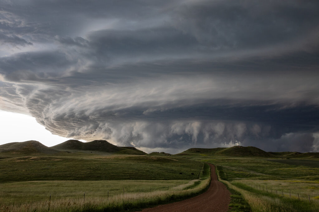
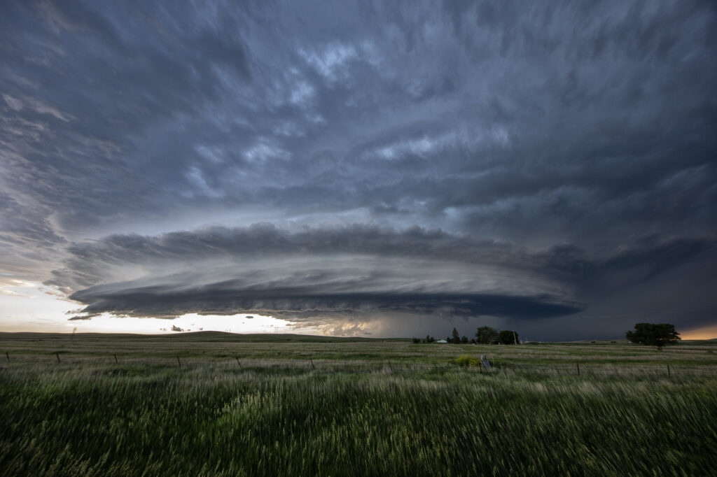
June 19th took us to the upslope area of the Big Horn mountains in southeast Montana. These mountains are notorious for producing beautiful supercells when upslope conditions occur with decent westerly flow aloft. This day would be no different. Mid afternoon, a cluster of high based storms formed near Sheridan, WY and slowly tracked northeast. One storm on the southeastern side of the cluster tapped into better moisture and instability and eventually became the storm of the day. There wasn’t a tornado threat due to limited moisture, but between wind shear and instability, it developed into a jaw dropping gorgeous storm! As the storm passed into the southeast corner of the state near Baker, it had beautiful structure and also hail the size of golfballs. In the evening, it slowly weakened as it moved into southwest North Dakota. Just a stunning storm on a day when all the ingredients weren’t there! Montana is one of our favorite states to chase in during late spring. Enjoy the pics!!
No comments yet.