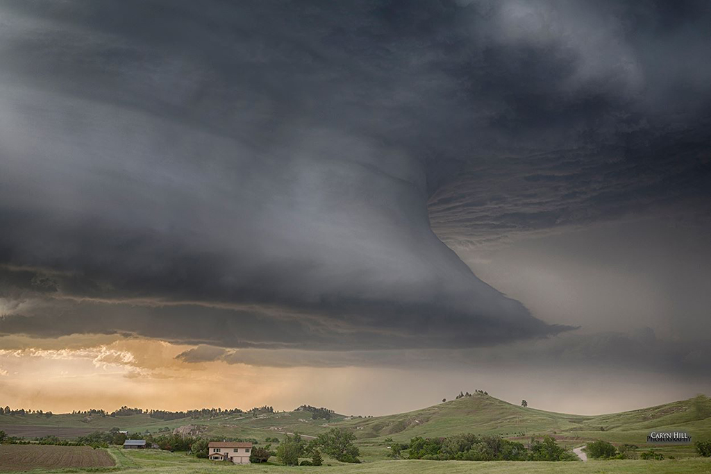
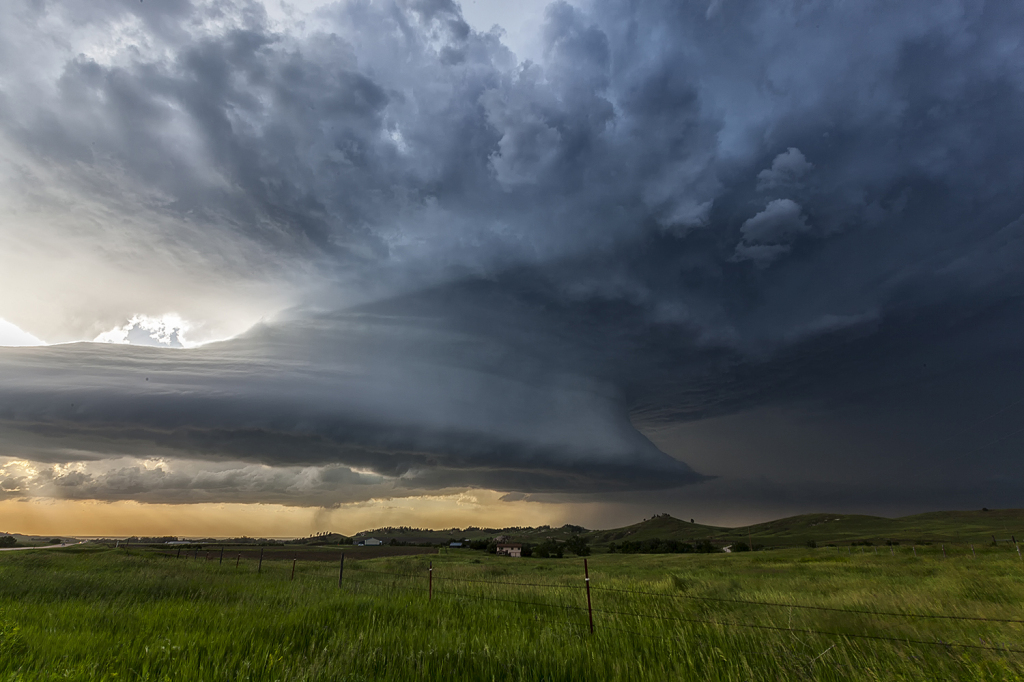
June 13, 2014 – Nebraska Beautiful Supercell
June 13th appeared to be a decent chase day. An approaching shortwave would induce a lee cyclone that would in turn draw moisture northward into western Nebraska. A developing dryline would be the focus for several storms that would form. We played the tail end storm as it developed eastward and spun very hard. Due to fairly high cloud bases, this storm became a tad outflow dominant and never could produce a tornado. It was tornado warned twice in it’s life cycle. It did have very pretty structure and also produced very large hail and high winds. The sandhills of northwest Nebraska provide an amazing foreground for storm photography!


No comments yet.