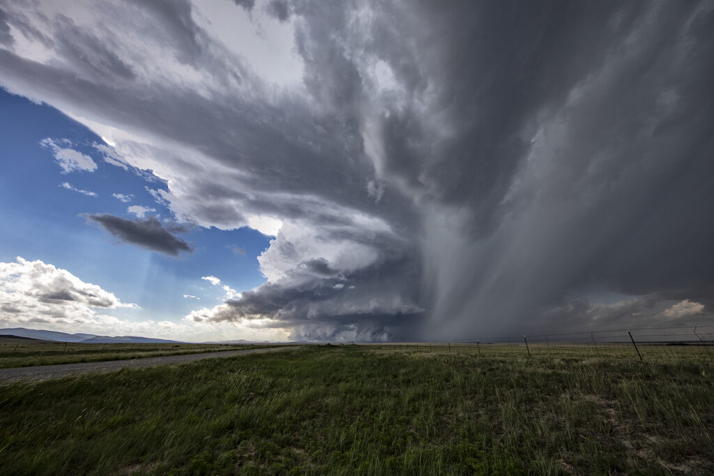
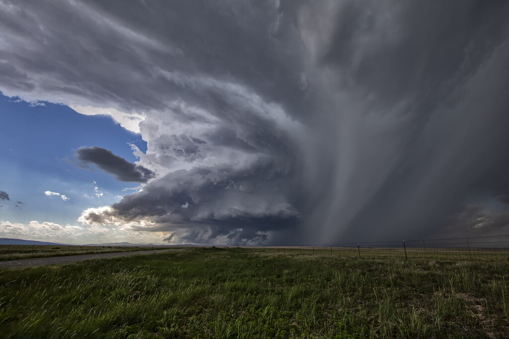
July 15th Northeast New Mexico Supercell
July 15th had a lot going for it. Strong northwest flow aloft would generate good shear with surface southeast winds. High dewpoints in the 60s at high elevations, would also generate a lot of instability. The upslope flow helped develop a well structured supercell near Wagon Mound, New Mexico. This storm was well structured and also produced huge hail baseball sized. The low levels never could tighten up enough to produce a tornado, however the supercell spun southward toward I-40 near Cuervo. It was severe warned for over 4 hours as it moved towards the south. Eventually we let it go as numerous storms blew up around it and thus reduced its ability to continue to maintain its strength. Fun chase over the plains and canyons of northeast New Mexico and fortunately to road network allowed us to continue chasing it all afternoon and early evening.


No comments yet.