
July 11th and 12th, 2007 Colorado Supercells
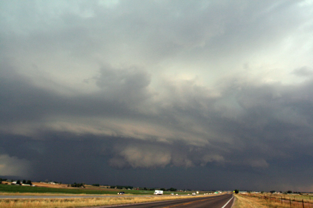
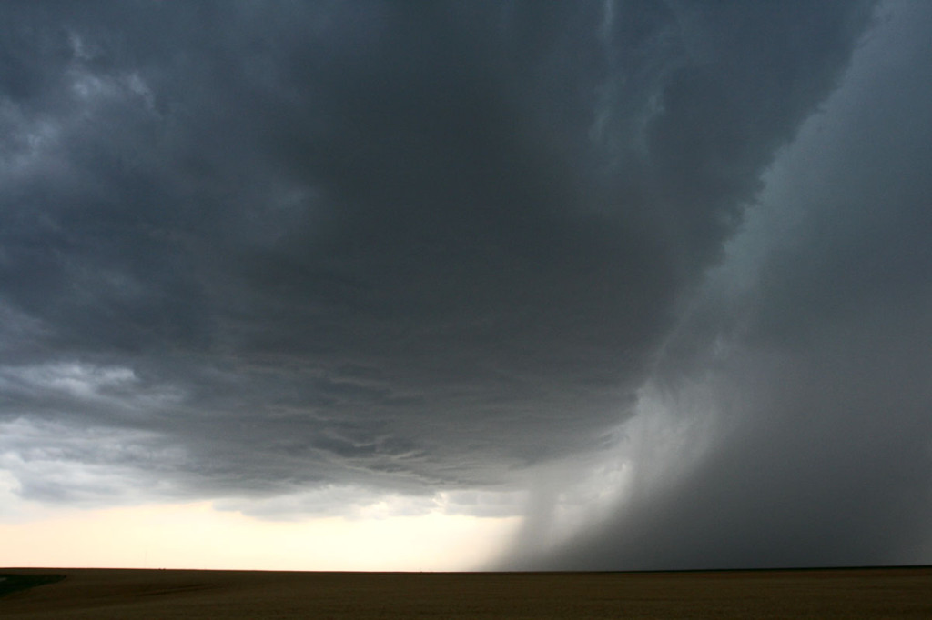
July 11th and 12th provided Colorado some much needed moisture, but also some very large hail. Many areas in northeast Colorado experienced crop devastation due to copious amounts of golfball and larger sized hail during this time period. Moderate northwest flow aloft, with upslope southeasterly surface winds would create decent wind shear, while moderate instability would develop. On July 11, storms formed along a convergence boundary over east central Colorado and became severe, taking on relatively high based supercell features. I caught one such beast just north of Limon that produced 1.5″ diameter hail. On July 12th, I wasn’t going to chase, but storms forming along a boundary over southeast Wyoming, and dropping into northeast Colorado, would give me a great reason to chase. I encountered hail to golfball sized north of Ft Collins along I-25 as the storm was rotating quite nicely, even in the lowest levels. Despite a tornado warning for that area, no tornado was confirmed. Although it certainly tried!
No comments yet.