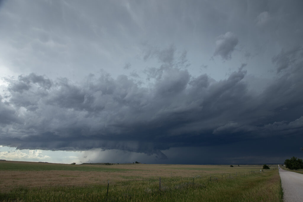
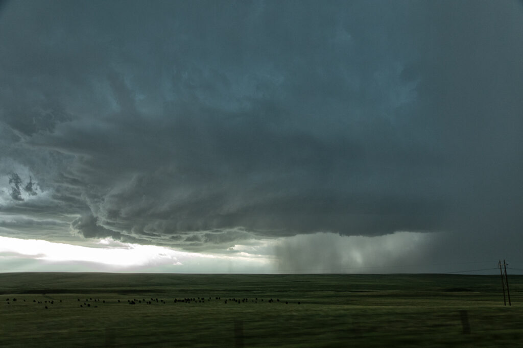
Day 1 of the Close Encounters tour kept us very close to Oklahoma City. A warm front/dryline triple point was just south of town. Models show extreme instability developing during the afternoon, with isolated supercells forming. Mid afternoon we drifted to Sulfur as storms formed close by. As they moved east the weakened moving north of the warm front. Eventually one storm anchored on the boundary and started spinning. It produced and bog cone funnel that just could stay consolidated, and fell apart after a few minutes. Due to many storm interactions, we dropped south to the tail in cell near Mill Creek. As we arrived a tornado formed. We saw the debris cloud from a rock plant and were able to stop in time to take photos and videos. It was on the ground for about 5-6 minutes. This day was a ton of hard chasing but in the end we managed to see a tornado. Enjoy the pics!
April 23, 2026 Central Kansas Tornadoes
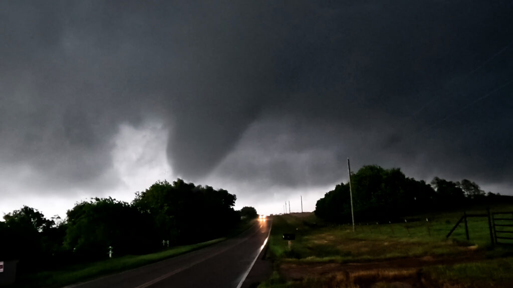
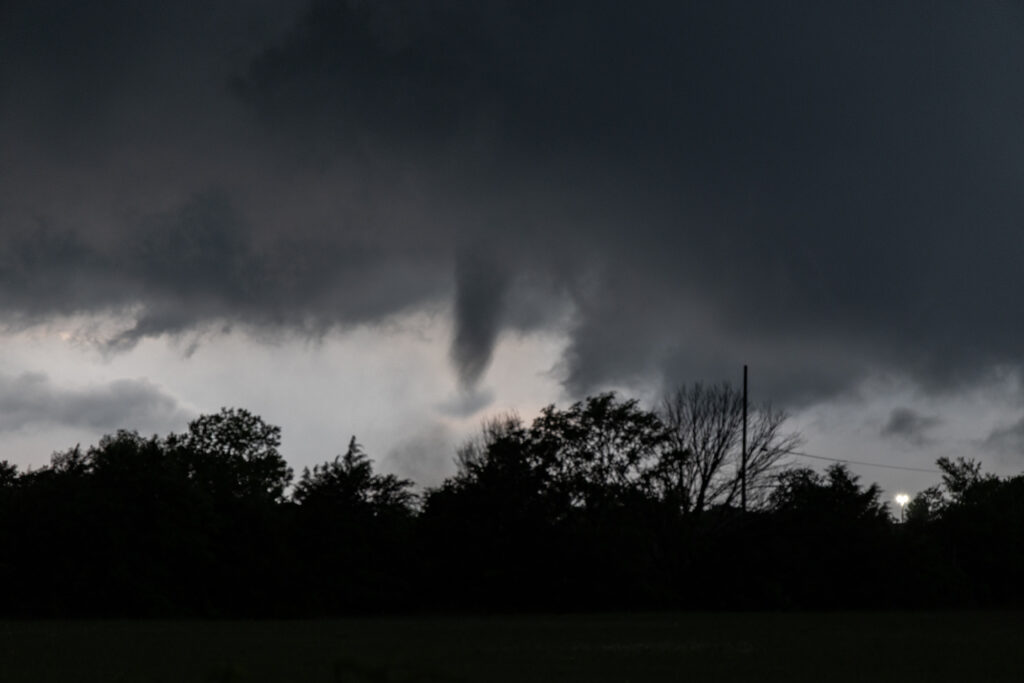
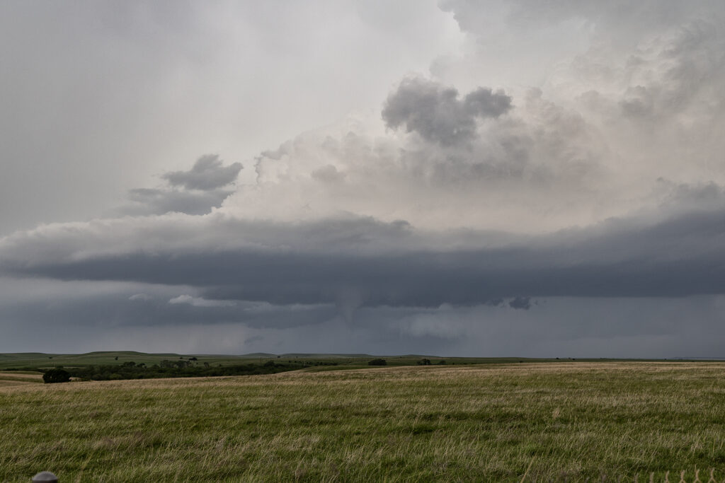
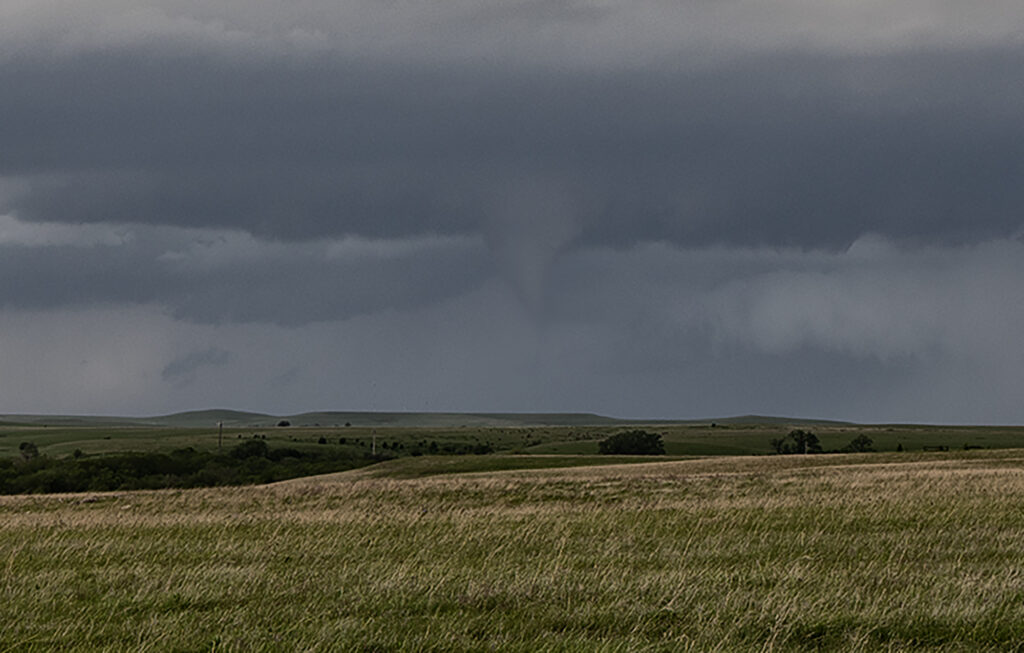
As we headed from Denver to Oklahoma City to prepare for our first tour of the season, we caught a few severe storms producing a couple of tornadoes in Kansas near Cottonwood Falls. A boundary was pushing slowly east and fired off supercells along it, so we stayed with them as they moved into better shear. One lone supercell east of the boundary had nice structure and produced a truncated cone tornado west of town. In the distance you could see the line of storms on the front and they started producing landspouts. Later in the evening, 2 supercells south of the KS/OK border became violently tornadic with one strong tornado directly impacting Enid. Our thoughts and prayers go out to those affected it this tornado!
April 14th Northeast Iowa Tornadoes
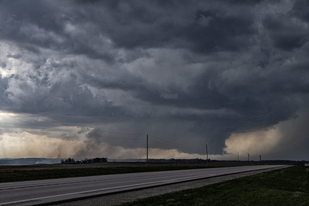
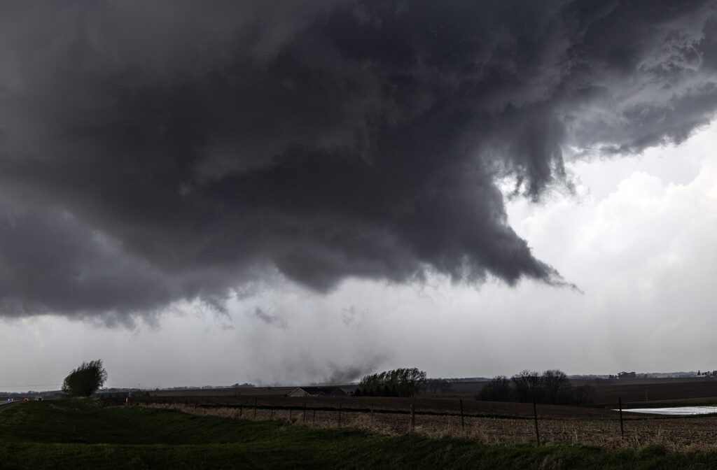
April 14th kept us in the northern plains. The same synoptic warm front/triple point from the 13th, was evident on the 14th centered northwest of Des Moines, Iowa. By mid afternoon storms formed there and intensified as they moved northeast. Near Eldora, Iowa, one supercell cranked up quickly and spun like a top. A rotating wall cloud formed, spinning wildly, and dropped a tornado that skipped across the ground for about 10 minutes causing some damage to farm buildings. After the storm occluded, the cell moved east towards Waterloo and kept having cell mergers which interfered with it’s ability to produce more tornadoes. East of Waterloo, near Masonville, it cranked back up and became tornado warned. A lowering/truncated cone funnel formed and wrapped quickly with rain. It touched down producing some minor damage as it stayed on the ground for several minutes. After it lifted, the storm became rain clogged as more cells developed merging with the parent supercell. At this point, having to be back in Denver the next day, we dropped south to Iowa City and headed west to Lincoln, NE for the night (arriving after midnight!). As did dropped south, another supercell developed a hook and became tornado warned as well. We could see the lowering, which 30 minutes later produced a pretty 3 minute tornado, as we headed westbound for the night. Overall a fun day, great storms, messy tornadoes, but everyone enjoyed it! Enjoy the pics! Video coming soon too!
April 13th Southern Minnesota Tornadoes
April 13th took our on call tour north to a volatile set up along a warm front/triple point over southern Minnesota. Mid afternoon we arrived near Fairmont, MN as the atmosphere became extremely unstable. Several storms developed along the warm front, then crossed it into colder air. These were not tornadic, but produced big hail. Soon, our storm formed west of Truman, MN and anchored on the warm front. You knew that the show was about to begin as it ramped up quickly and grew to over 50,000 feet. A tornado warning we issued as the storm spun had and approached our location. We drifted east with it and a huge bowl shaped lowering formed, and quickly dropped a pretty cone tornado. It stayed on the ground several minutes before lifting. Another elephant trunk shaped tornado formed east of town and was also on the ground for several minutes. It was quite pretty! After it dissipated, a third truncated cone shaped tornado formed and was on the ground for about 5 minutes before lifting. We stayed with the supercell past Minnesota Lake where it continued to be tornado warned, but it did not produce anymore tornadoes. Numerous cell mergers would disrupt the low level mesocyclone until it soon died off. An incredible day with a pretty supercell and 3 tornadoes we were only a mile away from! Enjoy the pics!
April 2nd Eastern Iowa Tornadic Supercell
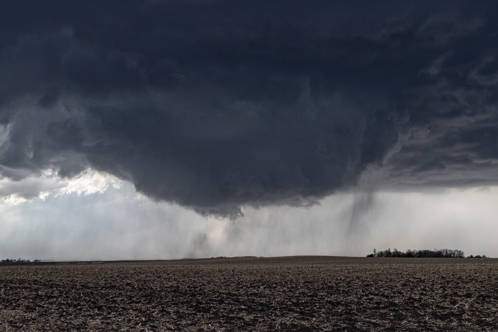
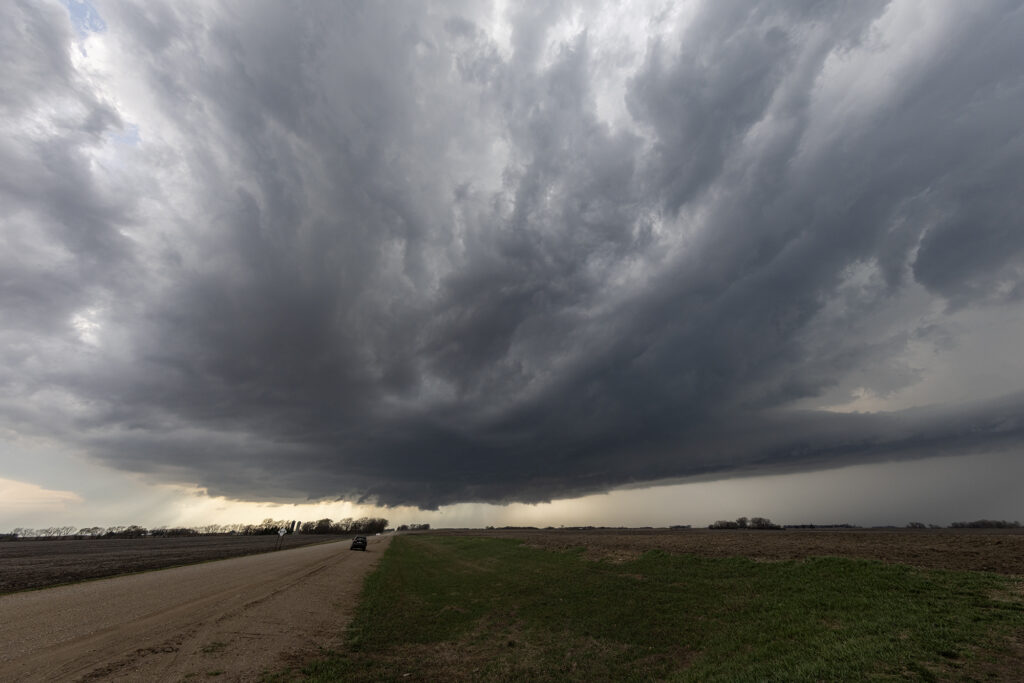
April 2nd had potential but there were a few flies in the ointment. First would storms form ahead of a surging front? Second would they form north of a warm front? The answer to these questions was soon resolved. An isolated supercell formed ahead of the front/squall line near Ottumwa, also south of the warm front. As it moved northeast, it strengthened and soon became tornado warned. Several times it produced funnels and even a couple of brief tornadoes as it moved just east of Iowa City. Eventually it was absorbed in the surging squall line. Structure on the supercell was decent, and it had low and mid level striations. Wall clouds were persistent the entire time it was tornado warned. It also produce hail to golfball sized. Fun chase day, but it is always difficult to stay up with storms moving at 60 mph!!
March 10, 2026 Northern Oklahoma Severe Warned High Based Supercells
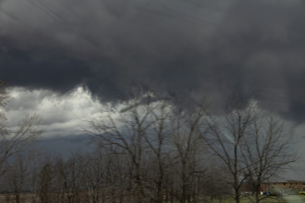
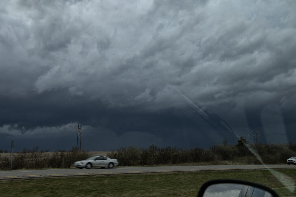
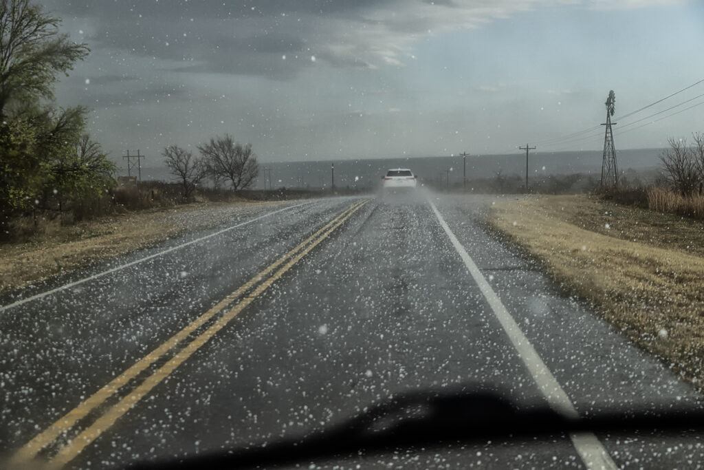
Having to be in Great Bend, Kansas on March 10th kept us from going to Illinois for that event. Instead, we played a stationary boundary near the Kansas/Oklahoma border area. Storms formed mid afternoon west of Woodwards, OK and intensified as they traversed the boundary. By the time they got north of Alva, OK, they were producing copious amount of hail up to pingpong ball sized. We drove through the core a few times to see what it had in it and got some decent hail stones! We eventually let them go as they moved north of the boundary and became elevated supercells. We headed to Wichita, KS for the night and were greeted with tons of lightning and hail at our hotel. A fun way to spend the day on our way to get the new customized van for 2026!!!

August 2-8 Desert Thunder Tour Images!
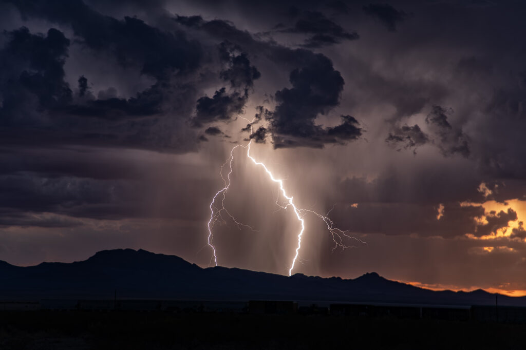
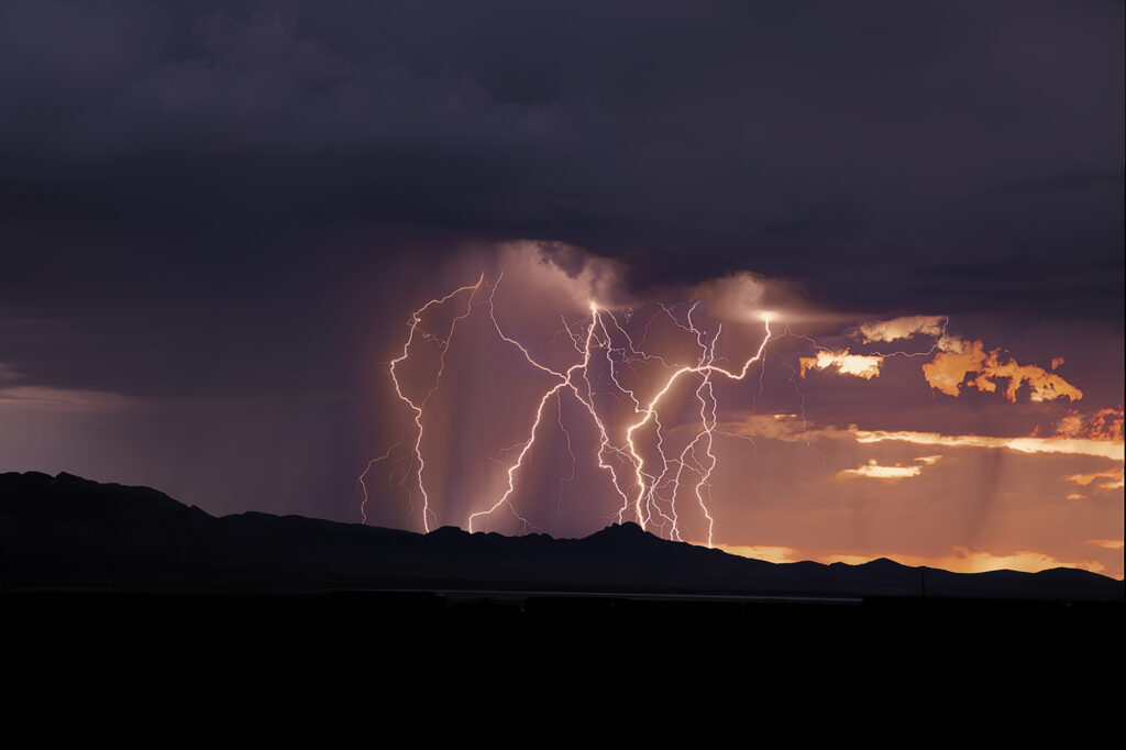
Each year we conduct lightning tours in Arizona during monsoons. This year we were there the first week of August. Despite a far from favorable weather pattern nature provided some pretty storms with excellent lightning! We traveled over southeastern Arizona and occasionally into southwestern New Mexico on various days. However the majority of the time we spent in Cochise and Santa Cruz counties this year. Temperatures were extremely hot with daytime highs from 105-115. Moisture was on the marginal side with dewpoints in the upper 40s to mid 50s. However enough was available to generate some instability to produce these storms. Enjoy the pics!
August 4th Kim, Colorado Tornado Warned Supercell
When you have nothing to photograph during our Desert Thunder tour, you go where there are storms, even if not in Arizona. Models were consistent on the set up in southeast Colorado on August 4th. We headed out and drove from Tucson, AZ to Springfield, CO. One lone supercell formed on the “LaJunta Low” just southwest of Lamar and right turned all the way to the New Mexico border. Structure was great and the lightning was amazing! We even watched a semi truck’s trailer get a direct hit, glowing it a bright orange in color! As the supercell turned into better moisture and instabillity, it steadily strengthened until it became tornado warned for 2 hours. It slowly took on HP features as the RFD cut around the updraft with a lot of precip and hail, blocking our view of what was happening under the base. A couple of times there appeared to be a cone shaped funnel that persisted for several minutes. Eventually though, the precip became too dense to see under it anymore and we had to admire the beautiful structure! A long way to come for a storm, but it was well worth it! Enjoy the pics!
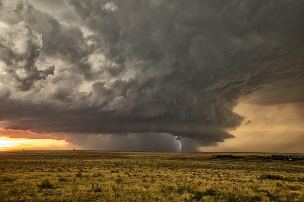
July 1st Hyannis, Nebraska Supercell and Sunset Beauty
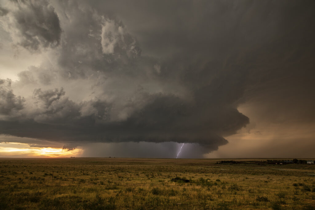
I wasn’t expecting much on July 1st and what we got was a lot better than I was hoping! A north/south dryline was over western Nebraska, however limited moisture and instability were present which would limit the severity of storms. We encountered a nearly stationary high based supercell near Lakeview that had decent structure, nice lightning and hail the size of golfballs. We eventually got cut off from the storm due to poor road options, so we moved east and south of Hyannis to watch a new cluster of severe storms at sunset. What a show they put on! It’s been a few years since we’ve encountered such an amazing display of color at sunset. Intense lightning, sun setting through the core and luscious green rolling hills made this a winner to me!! Please enjoy the pics, some beauties!

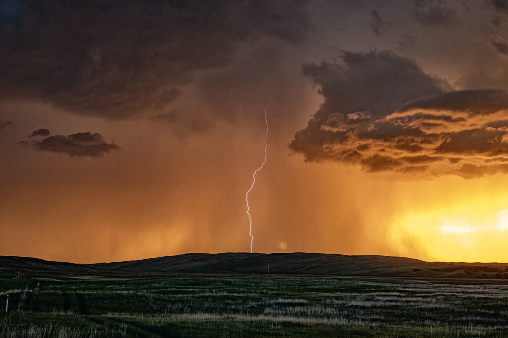
June 29th Edgemont, South Dakota Supercell
Modest amounts of moisture, wind shear and CAPE would lead to storms forming along the Black Hills. One storm latched onto an outflow boundary and spun southeast along the southern side of the hills into northwest Nebraska. We encountered some intense hail up to tennisball size! The structure was nice and the cell had that classic “hail core green” look to it. It made for some nice photos ops with the structure, colors and pretty scenery of the Black Hills. We pushed around the supercell towards Chadron, NE where numerous storms formed and weakened the supercell due to too many cell interactions. A fun day, nice supercell, broken windshield from the hail and pretty colors!! Since this was the photo tour’s first day, they thoroughly enjoyed it! Enjoy the pics!